Sgeir Mhaol Rubh' an Tuill
Island in Ross-shire
Scotland
Sgeir Mhaol Rubh' an Tuill
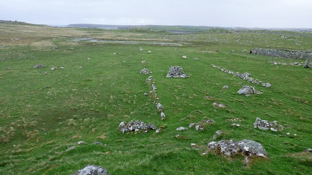
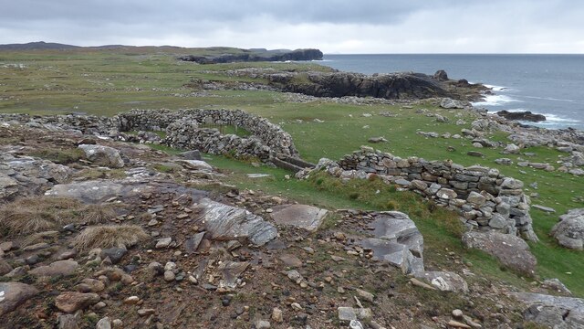
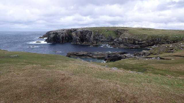
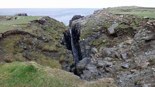
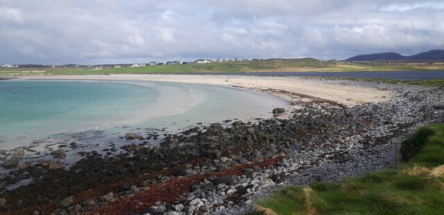
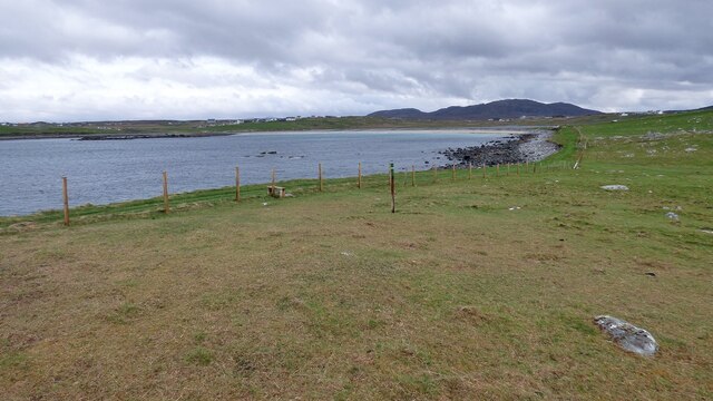
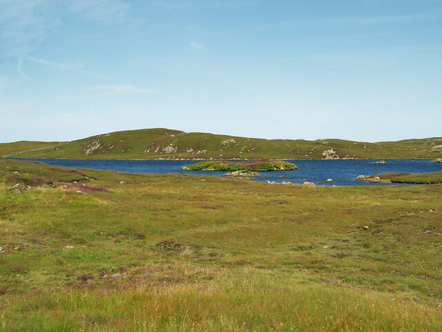
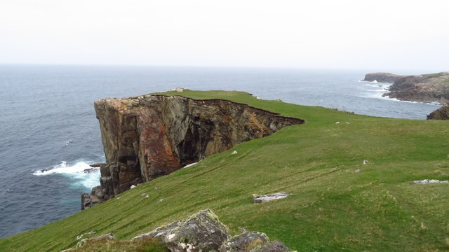
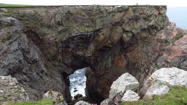
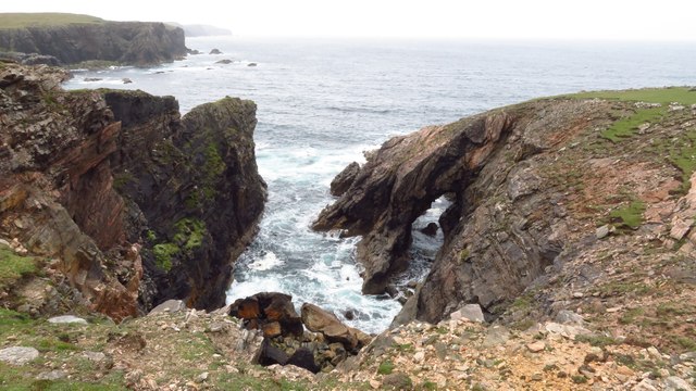
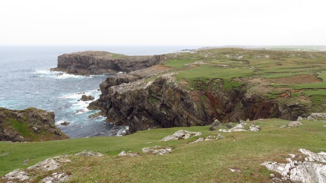
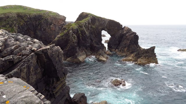
Sgeir Mhaol Rubh' an Tuill is a small island located off the coast of Ross-shire in Scotland. The island is known for its rugged and rocky terrain, with steep cliffs and jagged rocks jutting out of the surrounding sea. The island is uninhabited and has no permanent structures, making it a truly wild and untouched natural environment.
Sgeir Mhaol Rubh' an Tuill is a popular destination for birdwatchers, as the island is home to a variety of seabirds, including gannets, puffins, and guillemots. The surrounding waters are also teeming with marine life, making it a popular spot for fishing and diving.
Visitors to Sgeir Mhaol Rubh' an Tuill can access the island by boat or kayak, and can spend the day exploring the rugged coastline and observing the wildlife that calls the island home. The island offers stunning views of the surrounding ocean and coastline, making it a popular spot for photographers and nature enthusiasts.
Overall, Sgeir Mhaol Rubh' an Tuill is a remote and beautiful island that offers a glimpse into the wild and untamed beauty of the Scottish coast.
If you have any feedback on the listing, please let us know in the comments section below.
Sgeir Mhaol Rubh' an Tuill Images
Images are sourced within 2km of 58.331089/-6.7128197 or Grid Reference NB2447. Thanks to Geograph Open Source API. All images are credited.


Sgeir Mhaol Rubh' an Tuill is located at Grid Ref: NB2447 (Lat: 58.331089, Lng: -6.7128197)
Unitary Authority: Na h-Eileanan an Iar
Police Authority: Highlands and Islands
What 3 Words
///trout.overdrive.date. Near Carloway, Na h-Eileanan Siar
Related Wikis

Shawbost
Shawbost (Scottish Gaelic: Siabost) is a large village in the West Side of the Isle of Lewis. The village of Shawbost has a population of around 500 and...

Siadar Wave Power Station
The Siadar Wave Power Station (also known as Siadar Wave Energy Project or SWEP) was a proposed 4 MW wave farm 400 metres (1,300 ft) off the shore of Siadar...

Bragar
Bragar (Scottish Gaelic: Bràgar, pronounced [braːgər]) is a village on the west side of the Isle of Lewis in the Outer Hebrides, Scotland, 14 miles (23...

Garenin
Garenin (Scottish Gaelic: Na Gearrannan) is a crofting township on the west coast of the Isle of Lewis in the Outer Hebrides of Scotland. Garenin is in...
Nearby Amenities
Located within 500m of 58.331089,-6.7128197Have you been to Sgeir Mhaol Rubh' an Tuill?
Leave your review of Sgeir Mhaol Rubh' an Tuill below (or comments, questions and feedback).