Beinn na Cloich

Hill, Mountain in Ross-shire

Scotland

Beinn na Cloich

Northbound sheep on the A858 towards Dalbeg
Northbound sheep on the A858 towards Dalbeg Credit: Catherine Morgan

Beinn na Cloich is a prominent hill located in Ross-shire, Scotland. It is part of the Northwest Highlands, rising to a height of approximately 532 meters (1,745 feet) above sea level. The hill is situated about 15 kilometers northwest of the town of Dingwall and lies within the expansive Ross and Cromarty county.

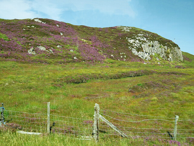
Beinn na Cloich is known for its distinctive shape and rugged terrain, characterized by steep slopes and rocky outcrops. It offers magnificent panoramic views of the surrounding area, including the neighboring hills and glens. The hill is covered in heather and grass, with scattered patches of woodland in some areas.

The ascent of Beinn na Cloich can be challenging, particularly due to its steep and uneven terrain. However, it is a popular destination for hikers and outdoor enthusiasts looking for a moderate to difficult level of difficulty. There are several routes that can be taken to reach the summit, with varying degrees of difficulty and length.

The hill is a haven for wildlife, with various species of birds, including eagles, buzzards, and ptarmigan, frequently spotted in the area. Red deer and mountain hares can also be found in the vicinity.

Beinn na Cloich is a great place for outdoor activities such as hillwalking, hiking, and wildlife spotting. With its breathtaking views and diverse flora and fauna, it offers a rewarding experience for nature lovers and adventurers alike.

If you have any feedback on the listing, please let us know in the comments section below.

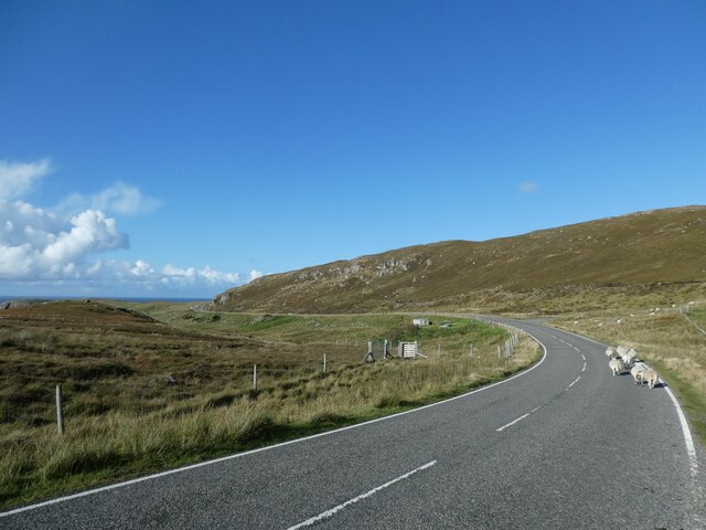
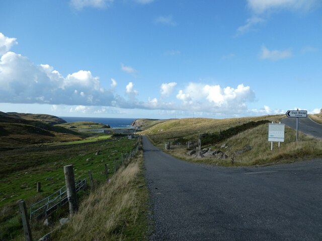
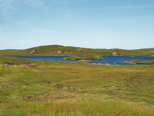
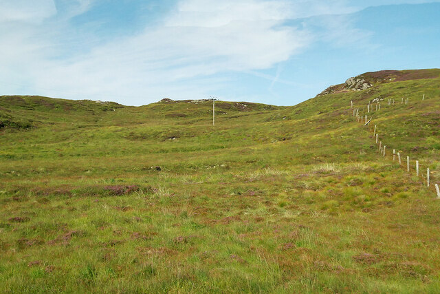
Beinn na Cloich Images

Images are sourced within 2km of 58.304416/-6.7011818 or Grid Reference NB2444. Thanks to Geograph Open Source API. All images are credited.

Northbound sheep on the A858 towards Dalbeg
Turning for Dalbeg from the A858
Cnoc Leatham
Cnoc Leatham
Parking area at Loch Raoinebhat
Loch Raoinebhat
Loch Raoinebhat
View towards Loch Raoinebhat
Loch Raoinebhat, Isle of Lewis
Slopes of Cnoc na Cartach
Cnoc Mòr na Cartach
Cnoc Mòr na Cartach
Loch Raoinebhat - 1981 Isle of Lewis, Siabost, Sunset over Loch Raoinebhat seen from A858 lay-by
Loch Raoinebhat - 1981
Isle of Lewis, Siabost, Sunset over Loch Raoinebhat seen from A858 lay-by
Norse Mill and Kiln Iron Age mill and kiln near Shawbost, with Loch na Muilne in the background.
Norse Mill and Kiln
Iron Age mill and kiln near Shawbost, with Loch na Muilne in the background.
Paddle Wheel in Norse Mill Water coming down the chute, visible in the background, strikes the paddles and turns the millstone in the mill room above.
Paddle Wheel in Norse Mill
Water coming down the chute, visible in the background, strikes the paddles and turns the millstone in the mill room above.
Loch Raoinebhat Loch Raoinebhat near Shawbost, with Ben Guidamol in the background.
Loch Raoinebhat
Loch Raoinebhat near Shawbost, with Ben Guidamol in the background.
Wind turbine On a small hill above Loch Raoinebhat.
Wind turbine
On a small hill above Loch Raoinebhat.
Quarry access road, Lewis The bright green lane heading off up the side of the hill could be mistaken for an old road but is actually the access road for a disused quarry <a href="https://www.geograph.org.uk/photo/205953">NB2345 : Old track near Dail Beag</a>. Older maps show the route of the old road to be the same as the present road. Continuing round the corner ahead suggests a good reason why this would not have been a through road - it stops at a cliff face!
Quarry access road, Lewis
The bright green lane heading off up the side of the hill could be mistaken for an old road but is actually the access road for a disused quarry NB2345 : Old track near Dail Beag. Older maps show the route of the old road to be the same as the present road. Continuing round the corner ahead suggests a good reason why this would not have been a through road - it stops at a cliff face!
Shawbost Norse mill and kiln The reconstructed thatched buildings provide a glimpse of the Scandinavian past of Lewis. Loch na Muilne is in view with the open sea beyond.
Shawbost Norse mill and kiln
The reconstructed thatched buildings provide a glimpse of the Scandinavian past of Lewis. Loch na Muilne is in view with the open sea beyond.
Loch Raoinebhat Near Siabost bho Dheas/South Shawbost.
Loch Raoinebhat
Near Siabost bho Dheas/South Shawbost.
The path to the Norse Mill and Kiln Near South Shawbost.
The path to the Norse Mill and Kiln
Near South Shawbost.
Show me another place!

Beinn na Cloich is located at Grid Ref: NB2444 (Lat: 58.304416, Lng: -6.7011818)

Unitary Authority: Na h-Eileanan an Iar

Police Authority: Highlands and Islands

What 3 Words

///poem.maker.firelight. Near Carloway, Na h-Eileanan Siar

Related Wikis

Shawbost

Shawbost (Scottish Gaelic: Siabost) is a large village in the West Side of the Isle of Lewis. The village of Shawbost has a population of around 500 and...

Carloway

Carloway (Scottish Gaelic: Càrlabhagh [ˈkʰaːɾɫ̪ə.ɤː]) is a crofting township and a district on the west coast of the Isle of Lewis, in the Outer Hebrides...

Bragar

Bragar (Scottish Gaelic: Bràgar, pronounced [braːgər]) is a village on the west side of the Isle of Lewis in the Outer Hebrides, Scotland, 14 miles (23...

Garenin

Garenin (Scottish Gaelic: Na Gearrannan) is a crofting township on the west coast of the Isle of Lewis in the Outer Hebrides of Scotland. Garenin is in...

Nearby Amenities

Located within 500m of 58.304416,-6.7011818
Communication Mobile Phone: yes
Man Made: mast
Source: Bing
Lat/Long: 58.3050708/-6.7002817
Beinn na Cloich
Ele: 162
Natural: peak
Lat/Long: 58.3050715/-6.7002843
The data included in this document is from www.openstreetmap.org. The data is made available under ODbL.

Have you been to Beinn na Cloich?

Leave your review of Beinn na Cloich below (or comments, questions and feedback).