Eilean Mòr
Island in Ross-shire
Scotland
Eilean Mòr
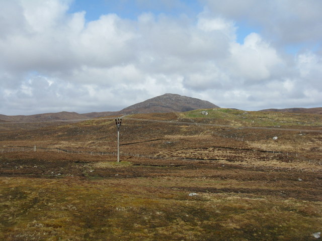
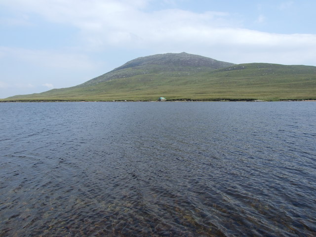
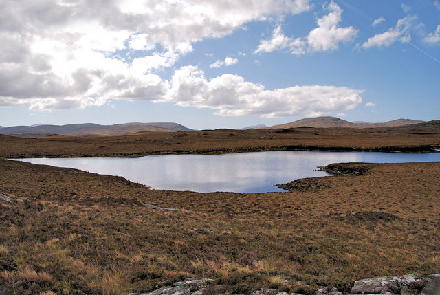
![Roineval [Ròineabhal] Via A859 and Slèiteachal Mhòr with Jonathan de Ferranti, Jim Bloomer and Mat Webster. A conspicuous and locally steep summit plus no paths at all. Summit shelter contains remains of trig point.
Name: Roineval [Ròineabhal]
Hill number: 1576
Height: 281m / 922ft
Area: 24A: Lewis and Nearby Islands
Class: Ma
Grid ref: NB 23300 21211
Summit feature: shelter on rock
Drop: 203m
Col: 78m NB230200](https://s0.geograph.org.uk/geophotos/03/26/57/3265760_48b4a00a.jpg)
The requested URL returned error: 429 Too Many Requests
If you have any feedback on the listing, please let us know in the comments section below.
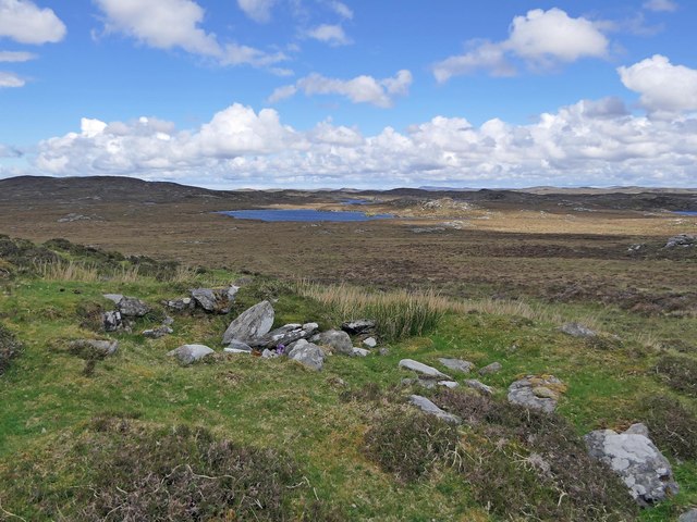
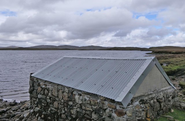
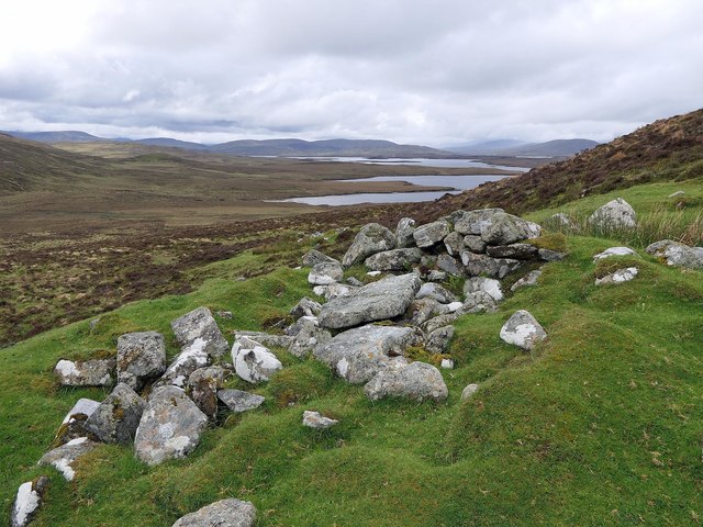
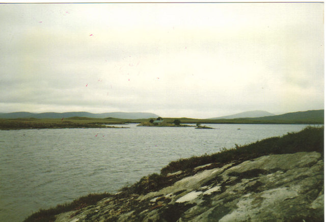
Eilean Mòr Images
Images are sourced within 2km of 58.099892/-6.7236377 or Grid Reference NB2122. Thanks to Geograph Open Source API. All images are credited.
Eilean Mòr is located at Grid Ref: NB2122 (Lat: 58.099892, Lng: -6.7236377)
Unitary Authority: Na h-Eileanan an Iar
Police Authority: Highlands and Islands
What 3 Words
///ordeals.unsettled.keyboard. Near Leurbost, Na h-Eileanan Siar
Related Wikis

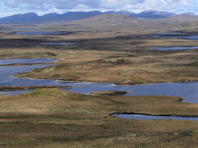
Eilean Mòr, Loch Langavat
Eilean Mòr is an island in Loch Langavat on the Isle of Lewis in the Outer Hebrides of Scotland. == Footnotes ==

Airidh a' Bhruaich
Airidh a' Bhruaich (Arivruaich - anglicised) is a scattered crofting township in the South Lochs district of the Isle of Lewis in the Outer Hebrides of...

Balallan
Balallan (Scottish Gaelic: Baile Ailein, Bail' Ailein), meaning "Allan's Town", is a crofting township on the Isle of Lewis, in the Outer Hebrides, Scotland...

Callanish IV
The Callanish IV stone circle (Scottish Gaelic: Ceann Hulavig) is one of many megalithic structures around the better-known (and larger) Calanais I on...
Have you been to Eilean Mòr?
Leave your review of Eilean Mòr below (or comments, questions and feedback).