Or Eilean

Island in Inverness-shire

Scotland

Or Eilean

Houses at Scalpay
Houses at Scalpay Credit: Sandy Gerrard

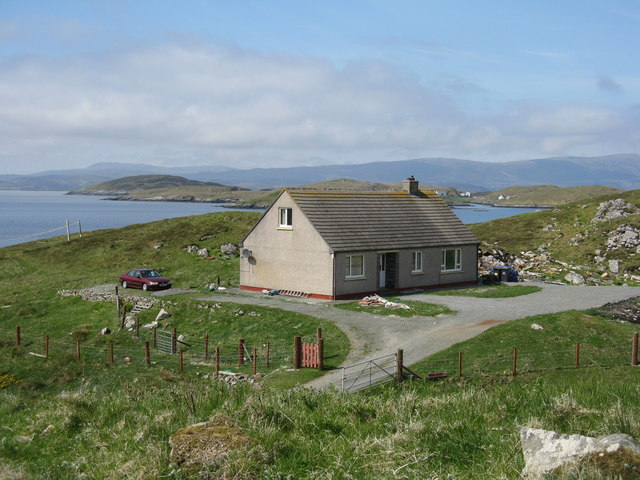
Or Eilean, also known as Orrin Island, is a picturesque and serene island located in Inverness-shire, Scotland. Situated in the heart of the Highlands, this island is surrounded by the tranquil waters of Loch Ussie, offering breathtaking views of the surrounding landscape.

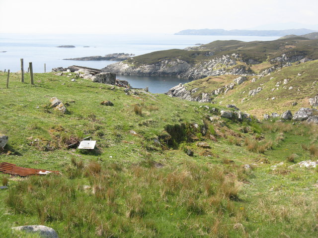
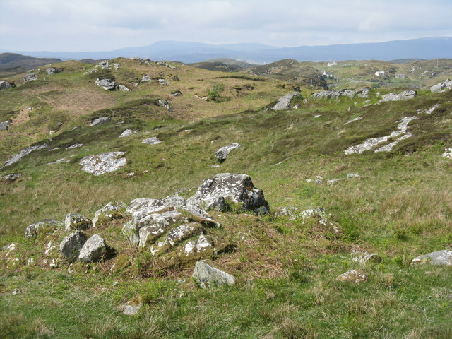
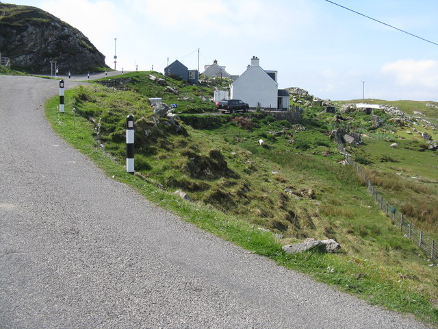
Covering an area of approximately 200 hectares, Or Eilean boasts a diverse range of natural features. The island is characterized by rolling hills, lush greenery, and rocky outcrops, creating a unique and enchanting environment. It is home to a variety of flora and fauna, including wildflowers, heather, and various bird species.

Access to Or Eilean is primarily by boat, as there are no bridges connecting it to the mainland. This adds to the island's sense of seclusion and tranquility, making it an ideal destination for those seeking a peaceful and immersive retreat.

The island offers a range of outdoor activities for visitors. Walking and hiking trails allow exploration of the island's natural beauty, while fishing enthusiasts can enjoy angling in the surrounding loch. Wildlife enthusiasts will be delighted by the opportunity to spot deer, otters, and a variety of birdlife.

Or Eilean also holds historical significance. The ruins of a medieval castle can be found on the island, adding an element of intrigue and historical charm to the landscape. The island's rich history and stunning scenery make it a popular destination for tourists and nature lovers alike.

In summary, Or Eilean is an idyllic island in Inverness-shire, offering a tranquil retreat amidst stunning natural beauty. Its diverse flora and fauna, coupled with its historical significance, make it a must-visit destination for those seeking a unique and immersive experience in the Scottish Highlands.

If you have any feedback on the listing, please let us know in the comments section below.
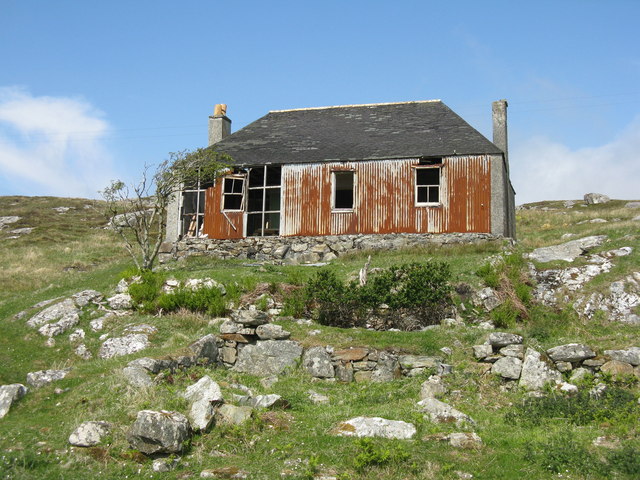
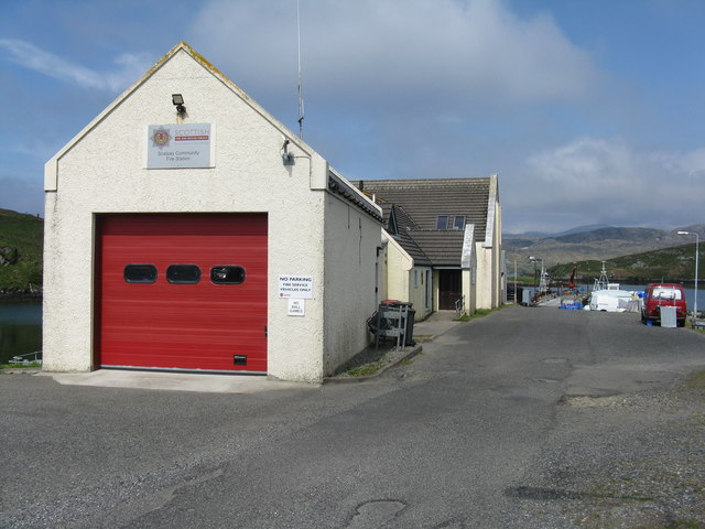
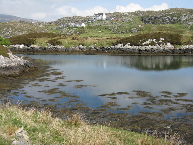
Or Eilean Images

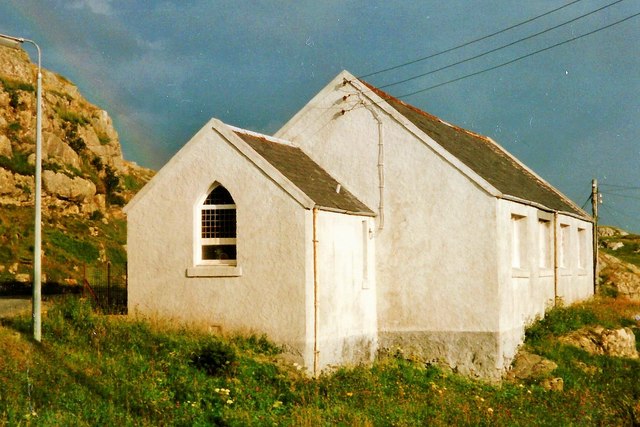
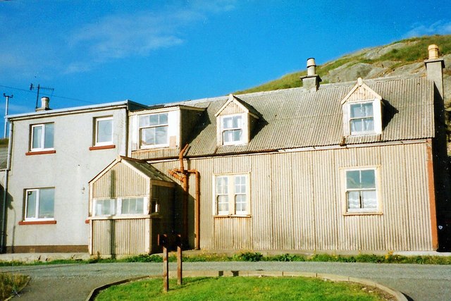
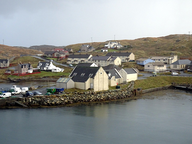
Images are sourced within 2km of 57.856196/-6.6926036 or Grid Reference NG2194. Thanks to Geograph Open Source API. All images are credited.
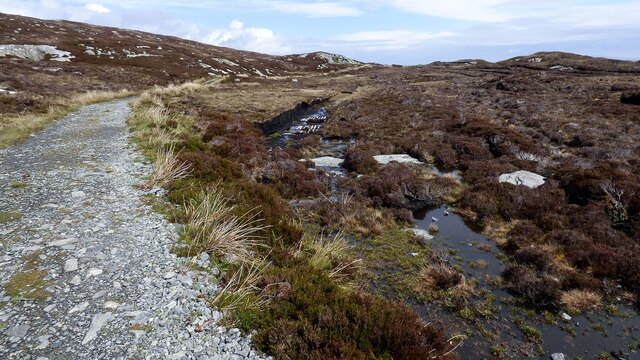
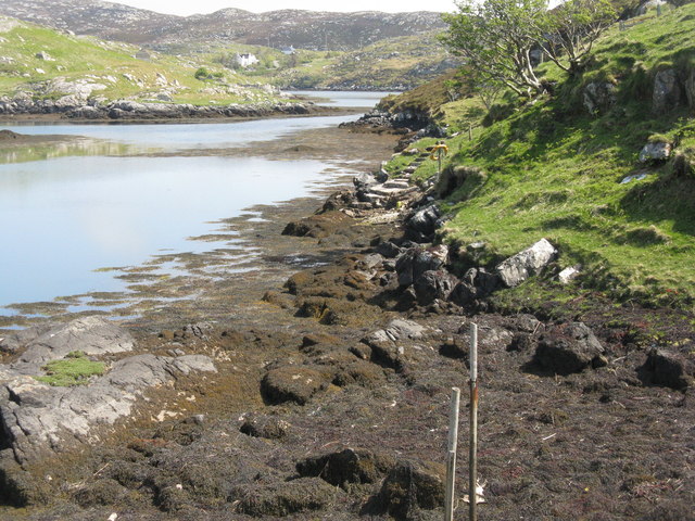
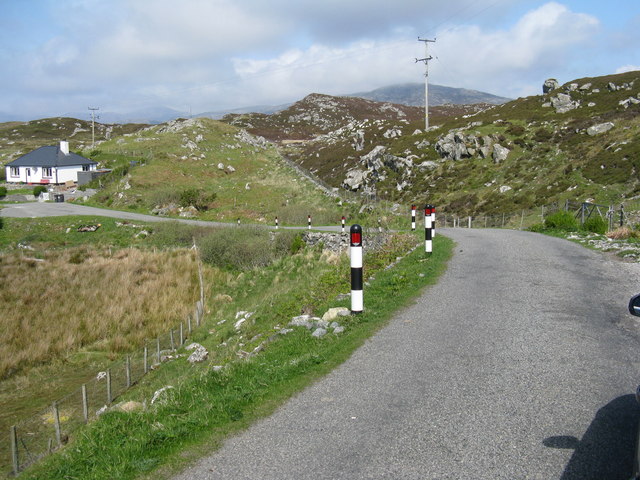
Houses at Scalpay
Houses at Scalpay
Old Peat Cuttings
Old Peat Cuttings
Track to Eilean Glas Lighthouse There is some small-scale peat cutting immediately next to the track.
Track to Eilean Glas Lighthouse
There is some small-scale peat cutting immediately next to the track.
Scalpay Church of Scotland The majority on Scalpay chose to remain in the Free Church when the United Free Church reunited with the established Church of Scotland in 1929.  As the congregation was not enough to justify maintaining a large building and a resident minister, the Church of Scotland kept this small church where services were conducted by a lay missionary, who lived with his family in the nearby <a href="https://www.geograph.org.uk/photo/4742256">NG2196 : Scalpay Mission House</a>

Shortly after this photograph was taken the bridge linking Scalpay to the mainland of Harris was completed, making it possible for the remaining Church of Scotland congregation to attend Sunday services in Tarbert and so there was no longer any need for a missionary.

This small church is now used for services by the Free Church (Continuing).  For a later view from the other side see <a href="https://www.geograph.org.uk/photo/1514144">NG2196 : Church Scalpay</a>.
Scalpay Church of Scotland
The majority on Scalpay chose to remain in the Free Church when the United Free Church reunited with the established Church of Scotland in 1929. As the congregation was not enough to justify maintaining a large building and a resident minister, the Church of Scotland kept this small church where services were conducted by a lay missionary, who lived with his family in the nearby NG2196 : Scalpay Mission House Shortly after this photograph was taken the bridge linking Scalpay to the mainland of Harris was completed, making it possible for the remaining Church of Scotland congregation to attend Sunday services in Tarbert and so there was no longer any need for a missionary. This small church is now used for services by the Free Church (Continuing). For a later view from the other side see NG2196 : Church Scalpay.
Scalpay Mission House The corrugated building was once the home of the lay missionary who served the <a href="https://www.geograph.org.uk/photo/4742254">NG2196 : Scalpay Church of Scotland</a>.  Following the opening of the Scalpay Bridge in 1997, soon after this photograph was taken, the small Church of Scotland congregation was able to travel to worship on the Harris mainland and missionaries no longer resided on the island.
Scalpay Mission House
The corrugated building was once the home of the lay missionary who served the NG2196 : Scalpay Church of Scotland. Following the opening of the Scalpay Bridge in 1997, soon after this photograph was taken, the small Church of Scotland congregation was able to travel to worship on the Harris mainland and missionaries no longer resided on the island.
Scalpay village
Scalpay village
House on Scalpay/Scalpaigh In need of some restoration.
House on Scalpay/Scalpaigh
In need of some restoration.
Scalpay Community Fire Station At the head of the pier, with the Community Hall beyond.
Scalpay Community Fire Station
At the head of the pier, with the Community Hall beyond.
Coast at Ãird Adhanais At the end of Sraid Falkland, looking out to Bagh Ceann na Muice.
Coast at Ãird Adhanais
At the end of Sraid Falkland, looking out to Bagh Ceann na Muice.
Tidal island in Bagh Ceann na Muice Sea surrounds the island at high tide, and separates it from the two houses in the distance.
Tidal island in Bagh Ceann na Muice
Sea surrounds the island at high tide, and separates it from the two houses in the distance.
Bàgh Ceann na Muice Or Bagh Ceann na Muise [OS spelling varies from scale to scale]. Looking across rocky grasslend from the road to Ceann a Bhàigh.
Bàgh Ceann na Muice
Or Bagh Ceann na Muise [OS spelling varies from scale to scale]. Looking across rocky grasslend from the road to Ceann a Bhàigh.
House on Straid Falkland Overlooking An Acairseid a Deas near Ceann a Bhàigh.
House on Straid Falkland
Overlooking An Acairseid a Deas near Ceann a Bhàigh.
Coast at Ceann a Bhàigh The end of the road at the southern end of Scalpay/Scalpaigh, over looking Loch an Tairbeairt.
Coast at Ceann a Bhàigh
The end of the road at the southern end of Scalpay/Scalpaigh, over looking Loch an Tairbeairt.
Rocky grassland at Ceann a Bhàigh Otherwise Kennavay, at the south of Scalpay.
Rocky grassland at Ceann a Bhàigh
Otherwise Kennavay, at the south of Scalpay.
Houses at Ceann a Bhàigh Nearing to end of the road at the south of Scalpay.
Houses at Ceann a Bhàigh
Nearing to end of the road at the south of Scalpay.
Ceann a Bhàigh on Scalpay/Scalpaigh Heading back north.
Ceann a Bhàigh on Scalpay/Scalpaigh
Heading back north.
Inlet from Bàgh Ceann na Muice One of two branches of the bay that penetrate Ãird Adhanais.
Inlet from Bàgh Ceann na Muice
One of two branches of the bay that penetrate Ãird Adhanais.
Road to the pier, Scalpay
Show me another place!

Or Eilean is located at Grid Ref: NG2194 (Lat: 57.856196, Lng: -6.6926036)

Unitary Authority: Na h-Eileanan an Iar

Police Authority: Highlands and Islands

What 3 Words

///squirted.thread.dared. Near Tarbert, Na h-Eileanan Siar

Related Wikis

Scalpay, Outer Hebrides

Scalpay (; Scottish Gaelic: Sgalpaigh or Sgalpaigh na Hearadh; i.e. "Scalpay of Harris" to distinguish it from Scalpay off Skye) is an island in the Outer...

Eilean Glas, Scalpay

Eilean Glas is a peninsula of Scalpay in the Outer Hebrides, Scotland. Eilean Glas is home to a historic lighthouse. Eilean Glas means Grey/Green Island...

Eilean Glas Lighthouse

Eilean Glas Lighthouse is situated on the east coast of the island of Scalpay in the Outer Hebrides of Scotland. It was one of the original four lights...

East Loch Tarbert

East Loch Tarbert (Scottish Gaelic: Loch an Tairbeairt) is a sea loch that lies to the east of Harris in the Outer Hebrides of Scotland. The loch contains...

Nearby Amenities

Located within 500m of 57.856196,-6.6926036
South Harbour
Natural: bay
Lat/Long: 57.8576806/-6.6908551
The data included in this document is from www.openstreetmap.org. The data is made available under ODbL.

Have you been to Or Eilean?

Leave your review of Or Eilean below (or comments, questions and feedback).