Loch Mòr Àirigh nan Linntean
Lake, Pool, Pond, Freshwater Marsh in Ross-shire
Scotland
Loch Mòr Àirigh nan Linntean
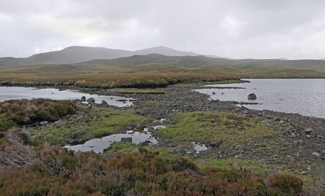
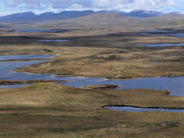
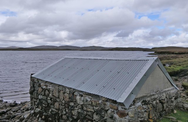
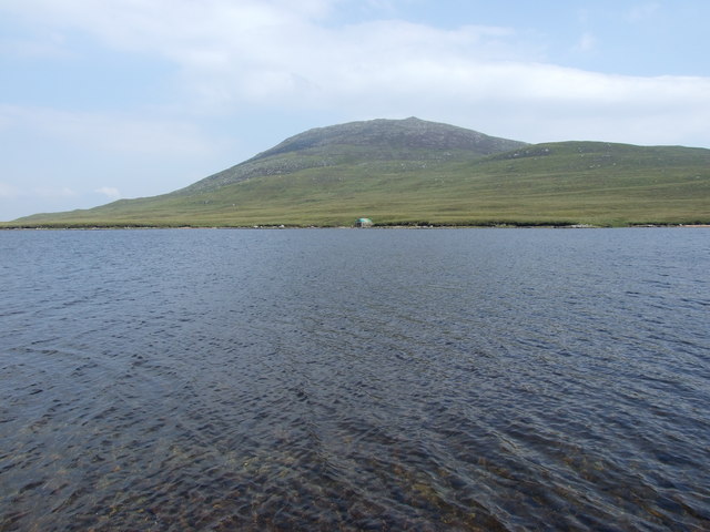
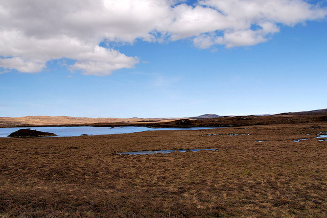
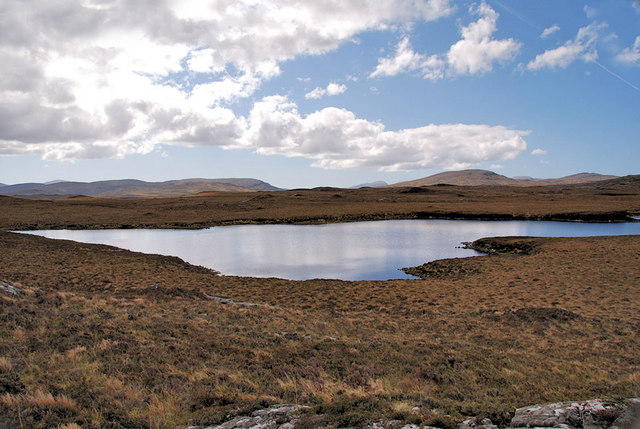
Loch Mòr Àirigh nan Linntean is a picturesque freshwater loch located in Ross-shire, Scotland. Spanning approximately 17 acres, it is nestled amidst the scenic Scottish Highlands, surrounded by rolling hills and lush greenery. The loch's name translates to "The Big Loch of the Shielings of the Ponds" in English, reflecting its historical association with nearby settlements.
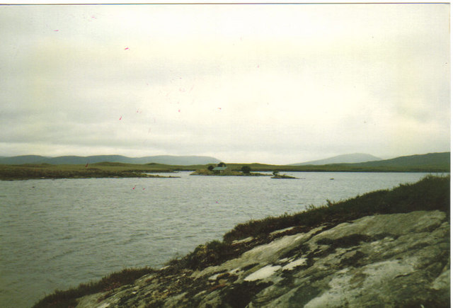
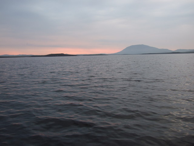
This tranquil water body features crystal clear waters that shimmer under the sunlight, creating a mesmerizing sight for visitors. The loch is known for its calm and serene atmosphere, providing a peaceful escape from the hustle and bustle of daily life. It offers a perfect setting for various outdoor activities such as fishing, boating, and picnicking.
Surrounded by a diverse range of flora and fauna, Loch Mòr Àirigh nan Linntean also serves as a haven for wildlife enthusiasts and nature lovers. The surrounding marshland is home to numerous species of birds, including herons, ducks, and swans, making it an ideal spot for birdwatching.
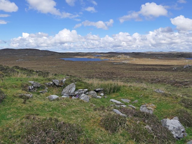
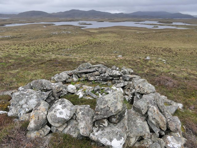
The loch is easily accessible, with a well-maintained path leading to its shores. Visitors can enjoy leisurely walks along the water's edge, taking in the breathtaking views and immersing themselves in the tranquility of the surroundings. The area is also rich in historical significance, with nearby ruins and artifacts dating back centuries, providing a glimpse into the area's past.
Overall, Loch Mòr Àirigh nan Linntean offers a serene and picturesque landscape, combining natural beauty with rich history, making it an ideal destination for those seeking a peaceful retreat in the heart of the Scottish Highlands.
If you have any feedback on the listing, please let us know in the comments section below.
Loch Mòr Àirigh nan Linntean Images
Images are sourced within 2km of 58.099978/-6.7360859 or Grid Reference NB2122. Thanks to Geograph Open Source API. All images are credited.
Loch Mòr Àirigh nan Linntean is located at Grid Ref: NB2122 (Lat: 58.099978, Lng: -6.7360859)
Unitary Authority: Na h-Eileanan an Iar
Police Authority: Highlands and Islands
What 3 Words
///saddens.friday.repay. Near Leurbost, Na h-Eileanan Siar
Related Wikis

Eilean Mòr, Loch Langavat
Eilean Mòr is an island in Loch Langavat on the Isle of Lewis in the Outer Hebrides of Scotland. == Footnotes ==

Airidh a' Bhruaich
Airidh a' Bhruaich (Arivruaich - anglicised) is a scattered crofting township in the South Lochs district of the Isle of Lewis in the Outer Hebrides of...

Balallan
Balallan (Scottish Gaelic: Baile Ailein, Bail' Ailein), meaning "Allan's Town", is a crofting township on the Isle of Lewis, in the Outer Hebrides, Scotland...

Callanish IV
The Callanish IV stone circle (Scottish Gaelic: Ceann Hulavig) is one of many megalithic structures around the better-known (and larger) Calanais I on...
Nearby Amenities
Located within 500m of 58.099978,-6.7360859Have you been to Loch Mòr Àirigh nan Linntean?
Leave your review of Loch Mòr Àirigh nan Linntean below (or comments, questions and feedback).