Sìdhean nan Griadhadh
Hill, Mountain in Ross-shire
Scotland
Sìdhean nan Griadhadh
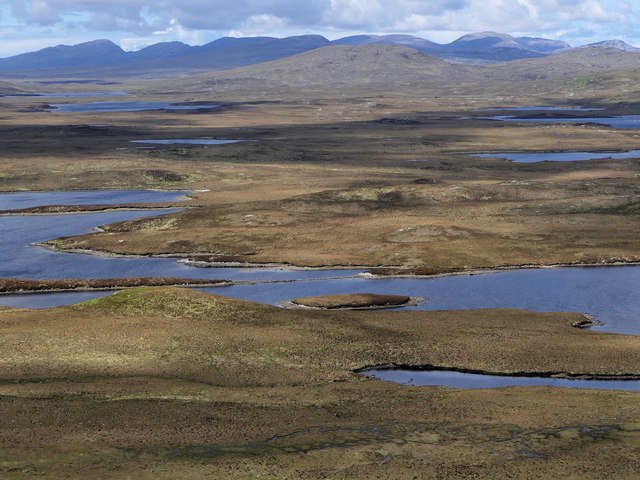
Sìdhean nan Griadhadh, located in Ross-shire, Scotland, is a prominent hill or mountain with a rich historical and geographical significance. Standing at an elevation of approximately 731 meters (2,398 feet), it is situated in the Northwest Highlands, near the village of Achnasheen.
The name Sìdhean nan Griadhadh translates to "Fairy Hill of the Hares" in Gaelic, reflecting the folklore and legends associated with the area. According to local tales, the hill is believed to be a gathering place for fairies and hares, lending an air of mystique to the location.
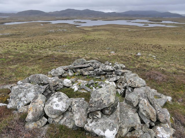
From a geological standpoint, Sìdhean nan Griadhadh is composed of Torridonian sandstone, a rock formation dating back around 1 billion years. This sedimentary rock gives the hill its distinctive reddish appearance, contrasting with the surrounding greenery.
The hill offers breathtaking panoramic views of the surrounding landscape, including the nearby Munros (mountains over 3,000 feet) of Beinn Eighe and Liathach. It is a popular destination for hikers and nature enthusiasts, with several trails leading to the summit.
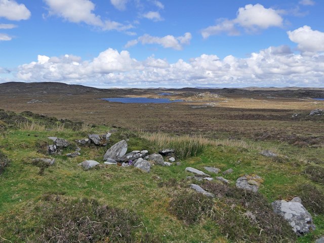
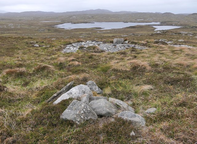
The diverse flora and fauna found on Sìdhean nan Griadhadh are a testament to its ecological importance. The hill is home to various plant species, including heather, mosses, and grasses, providing habitat for a variety of wildlife such as red deer, hares, and birds of prey.
Overall, Sìdhean nan Griadhadh is not only a visually striking natural landmark but also a place of cultural significance and ecological diversity, attracting visitors from near and far to explore its enchanting beauty.
If you have any feedback on the listing, please let us know in the comments section below.
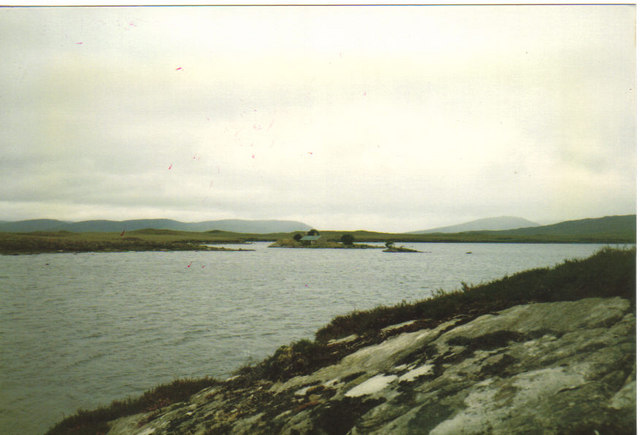
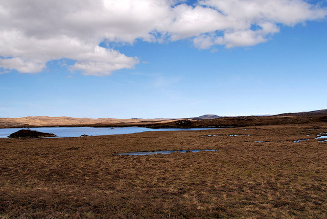
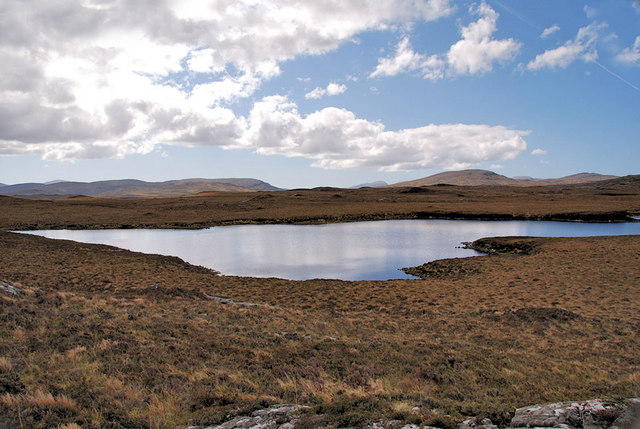
Sìdhean nan Griadhadh Images
Images are sourced within 2km of 58.104674/-6.7360643 or Grid Reference NB2122. Thanks to Geograph Open Source API. All images are credited.
Sìdhean nan Griadhadh is located at Grid Ref: NB2122 (Lat: 58.104674, Lng: -6.7360643)
Unitary Authority: Na h-Eileanan an Iar
Police Authority: Highlands and Islands
What 3 Words
///cope.lingering.dives. Near Leurbost, Na h-Eileanan Siar
Related Wikis

Eilean Mòr, Loch Langavat
Eilean Mòr is an island in Loch Langavat on the Isle of Lewis in the Outer Hebrides of Scotland. == Footnotes ==

Airidh a' Bhruaich
Airidh a' Bhruaich (Arivruaich - anglicised) is a scattered crofting township in the South Lochs district of the Isle of Lewis in the Outer Hebrides of...

Balallan
Balallan (Scottish Gaelic: Baile Ailein, Bail' Ailein), meaning "Allan's Town", is a crofting township on the Isle of Lewis, in the Outer Hebrides, Scotland...

Callanish IV
The Callanish IV stone circle (Scottish Gaelic: Ceann Hulavig) is one of many megalithic structures around the better-known (and larger) Calanais I on...
Have you been to Sìdhean nan Griadhadh?
Leave your review of Sìdhean nan Griadhadh below (or comments, questions and feedback).