West Gap Rock
Island in Cornwall
England
West Gap Rock
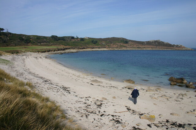
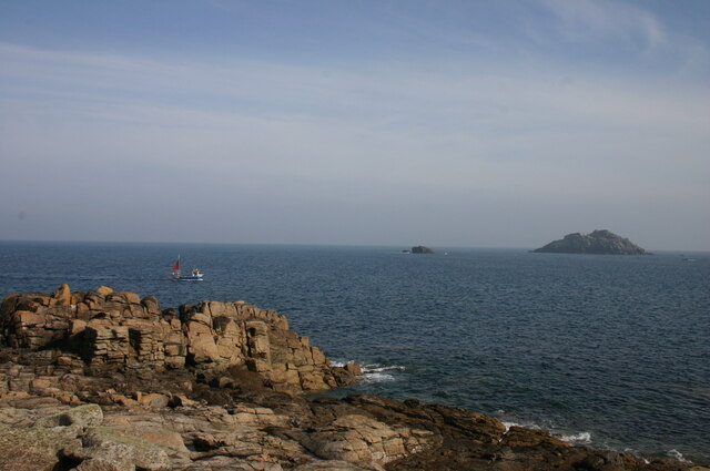
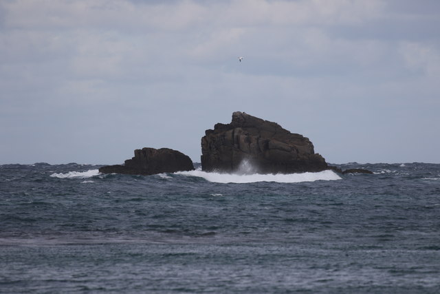
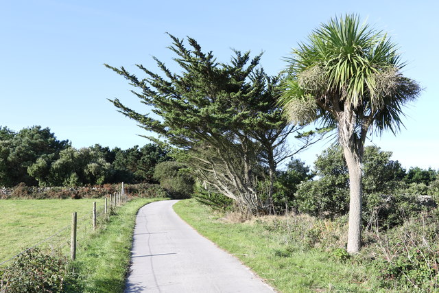
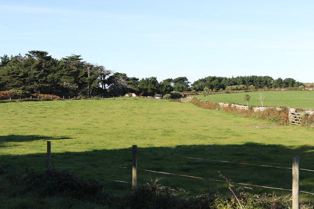
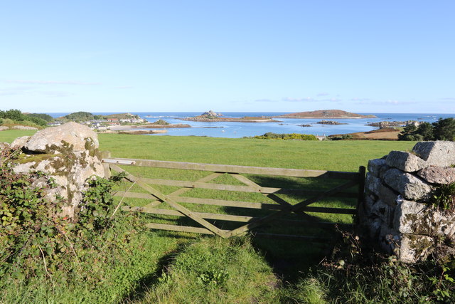
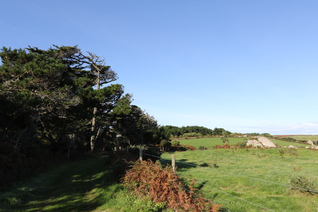
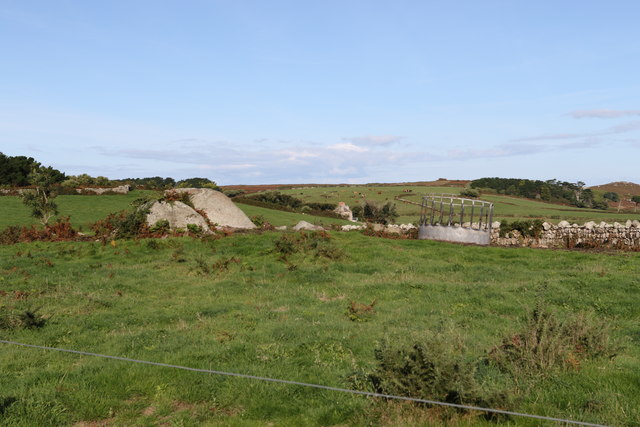
West Gap Rock is a small island situated off the coast of Cornwall, England. It is located approximately 2 kilometers west of Lizard Point, which is the southernmost point of mainland Great Britain. The island is a prominent feature of the rocky coastline and is known for its distinctive shape and rugged beauty.
West Gap Rock is an uninhabited island with no permanent residents. It is formed from ancient volcanic activity and is primarily composed of granite. The island measures about 150 meters in length and around 100 meters in width, with its highest point reaching about 10 meters above sea level.
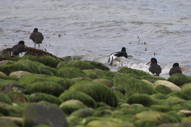
Due to its exposed location, West Gap Rock is subject to strong tides and powerful waves, making it a challenging destination for boaters and swimmers. The surrounding waters are home to a diverse range of marine life, including seals, dolphins, and various species of seabirds.
The island's unique geological formations and rich biodiversity make it a popular spot for nature enthusiasts and photographers. It offers stunning views of the surrounding coastline and the Atlantic Ocean. However, access to West Gap Rock is restricted to experienced climbers and hikers due to its treacherous terrain and the potential hazards posed by the rough sea conditions.
Overall, West Gap Rock is a captivating natural landmark in Cornwall, offering a glimpse into the region's geological history and providing a habitat for a variety of coastal wildlife.
If you have any feedback on the listing, please let us know in the comments section below.
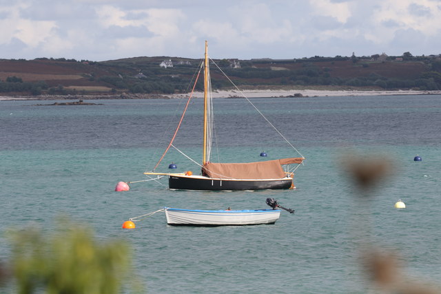
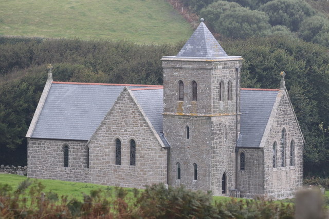
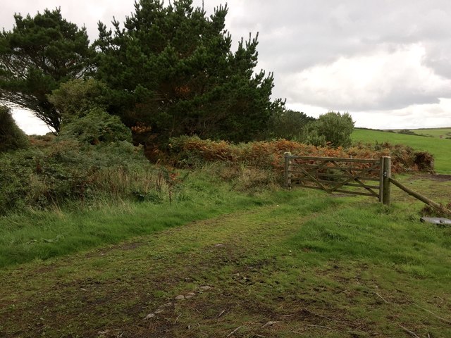
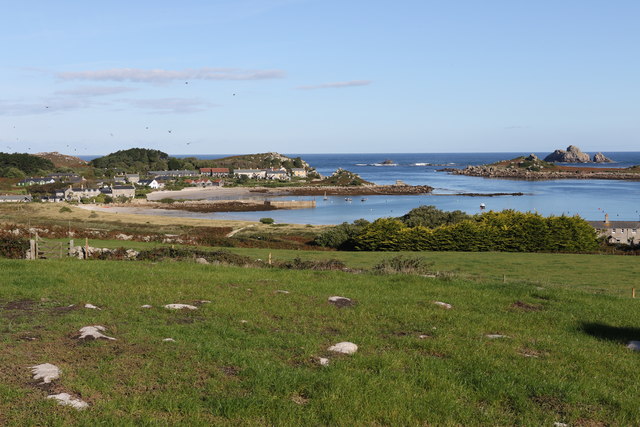
West Gap Rock Images
Images are sourced within 2km of 49.970197/-6.3212068 or Grid Reference SV9016. Thanks to Geograph Open Source API. All images are credited.

West Gap Rock is located at Grid Ref: SV9016 (Lat: 49.970197, Lng: -6.3212068)
Division: Isles of Scilly
Unitary Authority: Isles of Scilly
Police Authority: Devon and Cornwall
What 3 Words
///cared.shack.spearing. Near Tresco, Isles of Scilly
Nearby Locations
Related Wikis

St Helen's, Isles of Scilly
St Helen's (Cornish: Enys Elyd or Enys Elidius) is one of the fifty or so uninhabited islands in the archipelago of the Isles of Scilly and has an approximate...

Teän
Teän ( TEE-ən, sometimes written Tean without the diaeresis; Cornish: Enys Tian) is an uninhabited island to the north of the Isles of Scilly archipelago...

Round Island Light, Isles of Scilly
Round Island Lighthouse (Cornish: Golowji an Voth "the hump lighthouse"), in the Isles of Scilly was designed by William Tregarthen Douglass for Trinity...

Old Blockhouse
The Old Blockhouse, also known as the Dover Fort, is a 16th-century fortification on the island of Tresco in the Isles of Scilly. It was built between...
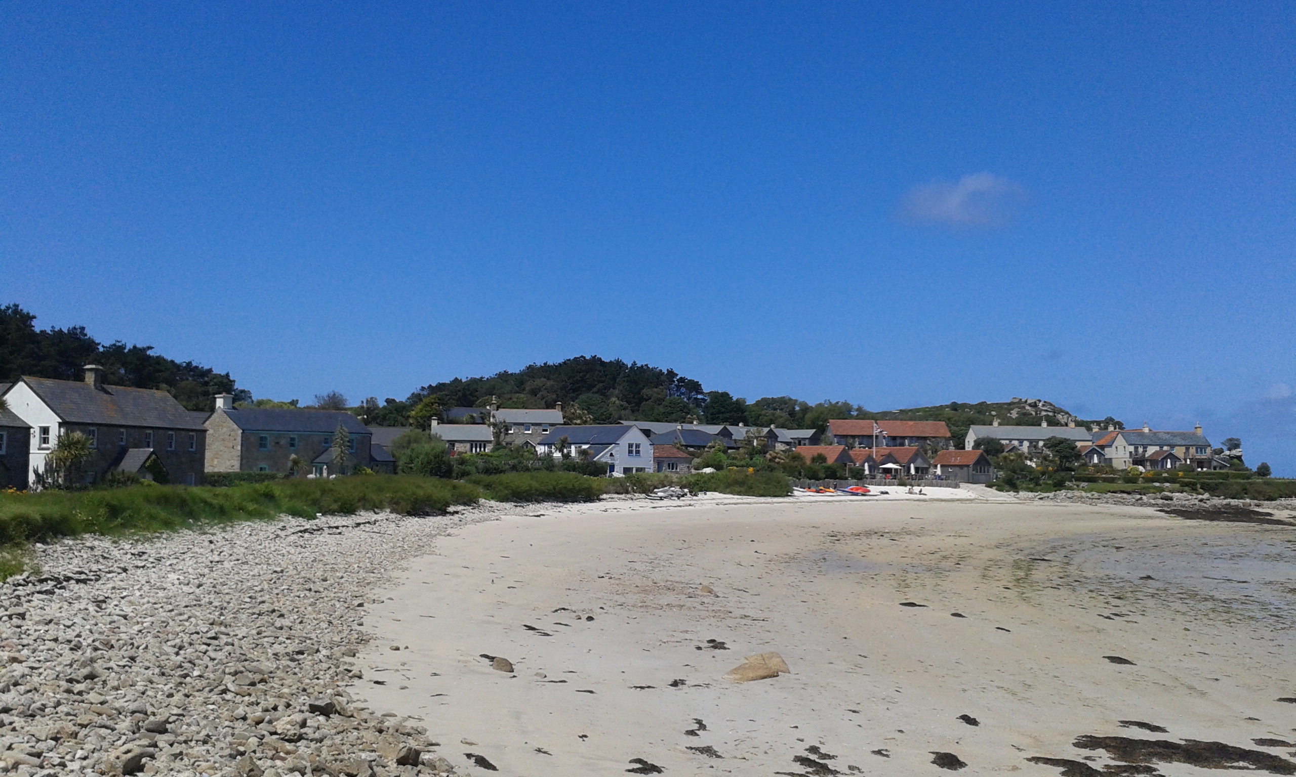
Old Grimsby
Old Grimsby (Cornish: Enysgrymm Goth) is a coastal settlement on the island of Tresco in the Isles of Scilly, England. It is located on the east side of...

Lower Town, Isles of Scilly
Lower Town (Cornish: Trewoles) is the westernmost settlement on the island of St Martin's in the Isles of Scilly, England. One of the island's two quays...

Piper's Hole
Piper's Hole is a sea cave located on Tresco, an island of the Isles of Scilly. The name Piper's Hole can also refer to another, more minor, sea cave in...
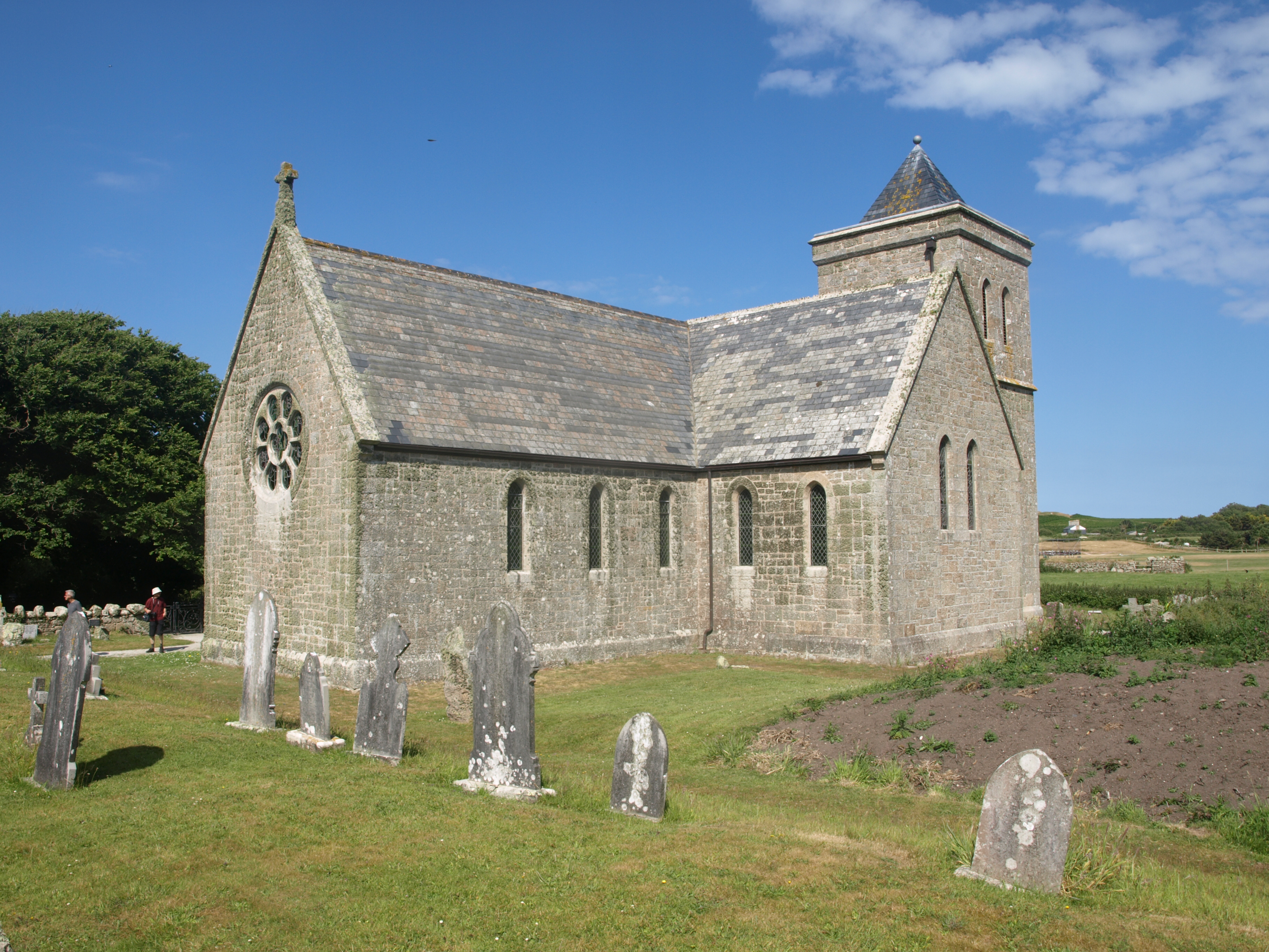
St Nicholas's Church, Tresco
St Nicholas's Church, Tresco, is a parish church in the Church of England located in Tresco, Isles of Scilly, UK. == History == Originally two old cottages...
Nearby Amenities
Located within 500m of 49.970197,-6.3212068Have you been to West Gap Rock?
Leave your review of West Gap Rock below (or comments, questions and feedback).