Eilean Glas Mòr

Island in Inverness-shire

Scotland

Eilean Glas Mòr

Jetty and boat on Loch Sgealtair
Jetty and boat on Loch Sgealtair Credit: Alan Pickup

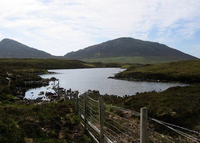
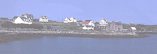
Eilean Glas Mòr is a small island located off the west coast of Scotland, in the region of Inverness-shire. It is situated within the Inner Hebrides, specifically in the Sound of Sleat, a narrow stretch of water separating the Isle of Skye from the mainland. The island covers an area of approximately 28 hectares and is largely uninhabited.

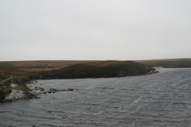
The name Eilean Glas Mòr translates to "Big Green Isle," which is a fitting description of its landscape. The island is characterized by its rugged terrain, with rocky cliffs and hills covered in lush green vegetation. It offers stunning panoramic views of the surrounding sea and nearby islands.

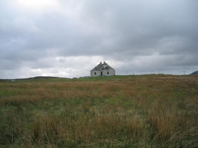
Eilean Glas Mòr is known for its historical significance, as it was once home to a 19th-century lighthouse. The lighthouse, now automated, stands tall at 24 meters and continues to guide ships navigating the treacherous waters of the Sound of Sleat. The island also features the ruins of the original keepers' quarters, adding to its historical charm.

Although the island is uninhabited, it is a popular destination for outdoor enthusiasts and nature lovers. Visitors can explore the island's rugged coastline, hike its hills, and enjoy birdwatching, as it serves as a breeding ground for various seabird species.

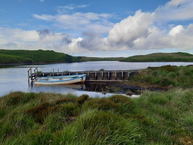
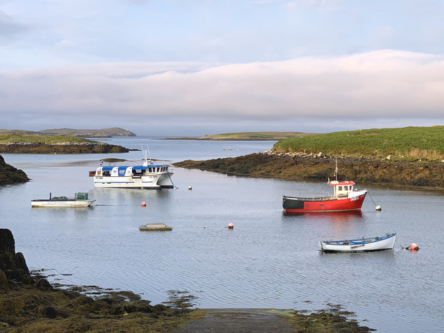
Access to Eilean Glas Mòr is primarily by boat, with regular ferry services available from the nearby Isle of Skye. The island offers a unique opportunity to experience the raw beauty of the Scottish Hebrides and immerse oneself in its rich maritime history.

If you have any feedback on the listing, please let us know in the comments section below.

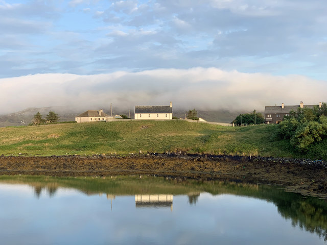
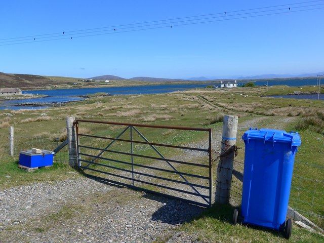
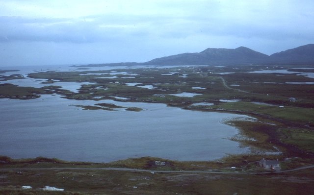
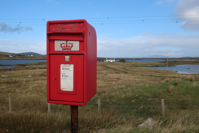
Eilean Glas Mòr Images

Images are sourced within 2km of 57.608497/-7.1883249 or Grid Reference NF9069. Thanks to Geograph Open Source API. All images are credited.

Jetty and boat on Loch Sgealtair
Lochmaddy/Loch nam Madadh
Fish quay, Lochmaddy
Bay on Loch Houram, North Uist
The road to Sponish Leaving Lochmaddy, North Uist.
The road to Sponish
Leaving Lochmaddy, North Uist.
Loch nan Geireann A view across Loch nan Geireann, with the peaked hill of Sgeallrabhal to the left of the setting sun.
Loch nan Geireann
A view across Loch nan Geireann, with the peaked hill of Sgeallrabhal to the left of the setting sun.
Boats by Lochmaddy old pier Lying in the shelter of the tidal island of Oronsay
Boats by Lochmaddy old pier
Lying in the shelter of the tidal island of Oronsay
Evening light in Lochmaddy Still bright well after 9pm on a July evening.
Evening light in Lochmaddy
Still bright well after 9pm on a July evening.
Track leading off the A865 The water beyond is the sea loch, Loch Blathaisbhal.
Track leading off the A865
The water beyond is the sea loch, Loch Blathaisbhal.
Loch Blathaisbhal View from Blathaisbhal towards Lochmaddy.
Loch Blathaisbhal
View from Blathaisbhal towards Lochmaddy.
South Lee and an unnamed lochan by Bagh Leireabhagh Moorland lochan on the rough walk to the Lees.
South Lee and an unnamed lochan by Bagh Leireabhagh
Moorland lochan on the rough walk to the Lees.
Sheriff Court, Lochmaddy
Lochmaddy Sheriff Court House
Sponish House, Lochmaddy I don't know what the history of this improbably large house is but someone is now slowly doing it up - note the new roof.
Sponish House, Lochmaddy
I don't know what the history of this improbably large house is but someone is now slowly doing it up - note the new roof.
Rhuiar House, Lochmaddy This attractive but decaying house in Lochmaddy was the residence of the procurator fiscal of Lochmaddy Sheriff Court, Alexander Chisholm, in the 1890's. He took a series of photographs of the islands at that time.
Rhuiar House, Lochmaddy
This attractive but decaying house in Lochmaddy was the residence of the procurator fiscal of Lochmaddy Sheriff Court, Alexander Chisholm, in the 1890's. He took a series of photographs of the islands at that time.
Lochmaddy The main port in North Uist.
Lochmaddy
The main port in North Uist.
Inlet of Loch Mhidhinis Desolate looking on a grey April day.
Inlet of Loch Mhidhinis
Desolate looking on a grey April day.
Show me another place!

Eilean Glas Mòr is located at Grid Ref: NF9069 (Lat: 57.608497, Lng: -7.1883249)

Unitary Authority: Na h-Eileanan an Iar

Police Authority: Highlands and Islands

What 3 Words

///fool.abstracts.parties. Near Lochmaddy, Na h-Eileanan Siar

Related Wikis

Lochmaddy

Lochmaddy (Scottish Gaelic: Loch nam Madadh [l̪ˠɔx nə ˈmat̪əɣ], "Loch of the Hounds") is the administrative centre of North Uist in the Outer Hebrides...

Taigh Chearsabhagh

Taigh Chearsabhagh is an arts centre and museum in Lochmaddy on the island of North Uist, Scotland.Taigh Chearsabhagh was built in 1741 and originally...

Ceallasaigh Beag

Ceallasaigh Beag (or Keallasay Beg) is a low-lying island in Loch Maddy off North Uist in the Outer Hebrides of Scotland. This an area of shallow lagoons...

Na Fir Bhrèige

Na Fir Bhrèige (pronounced [nə fiɾʲ ˈvɾʲeːkʲə]; can be translated from Gaelic into English as "The False Men") is a set of three standing stones on the...

Nearby Amenities

Located within 500m of 57.608497,-7.1883249
Passing Place
Lat/Long: 57.6126749/-7.1869771
Passing Place
Lat/Long: 57.6096329/-7.1813035
Spònais an Iar
Name En: Sponish West
Name Gd: Spònais an Iar
Place: isolated_dwelling
Lat/Long: 57.6125323/-7.1872688
Sponais an Iar
Alt Name: Sponish West
Direction: SE
Traffic Sign: city_limit
Lat/Long: 57.6102936/-7.1822678
Sruth Mor
Alt Name: Strumore
Direction: NW
Traffic Sign: city_limit
Lat/Long: 57.6102981/-7.1822701
Power: pole
Lat/Long: 57.6100345/-7.1807376
Power: pole
Lat/Long: 57.6105064/-7.1815985
Power: pole
Lat/Long: 57.6110919/-7.1827908
Power: pole
Lat/Long: 57.6115186/-7.1836062
Power: pole
Lat/Long: 57.6120704/-7.1846898
Power: pole
Lat/Long: 57.6125689/-7.1856339
Power: pole
Lat/Long: 57.6094014/-7.1812784
Power: pole
Lat/Long: 57.6091988/-7.1804925
Barrier: cattle_grid
Lat/Long: 57.6128145/-7.1872683
Passing Place
Lat/Long: 57.6119767/-7.1851656
Passing Place
Lat/Long: 57.6110975/-7.1832476
The data included in this document is from www.openstreetmap.org. The data is made available under ODbL.

Have you been to Eilean Glas Mòr?

Leave your review of Eilean Glas Mòr below (or comments, questions and feedback).