Clodgie Point

Coastal Marsh, Saltings in Cornwall

England

Clodgie Point

A boat off the north of Tresco Taken in 2005 but only just being submitted, so I hope I have the view direction correct. Tresco is a wonderful peaceful island at any time of the year, but especially in Spring.
A boat off the north of Tresco Credit: Malcolm Neal

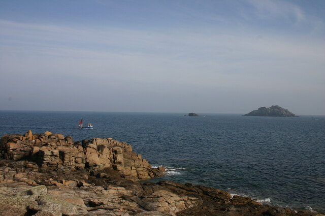
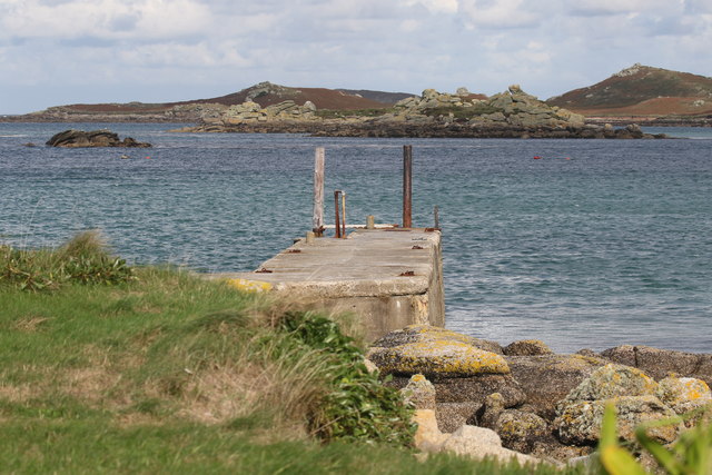
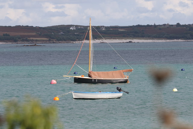
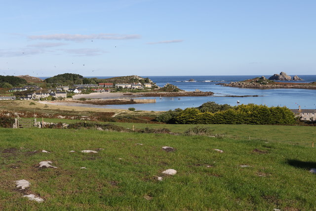
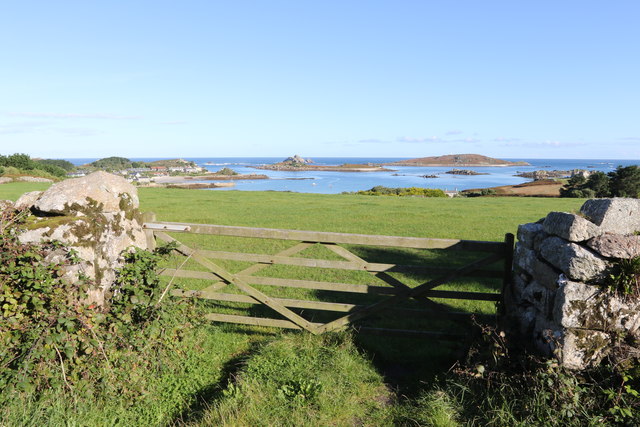
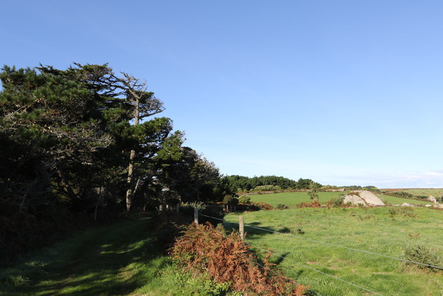
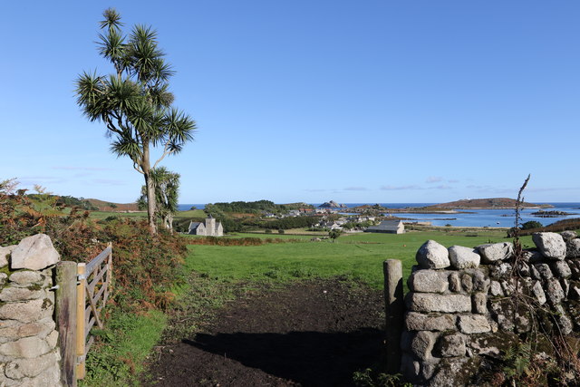
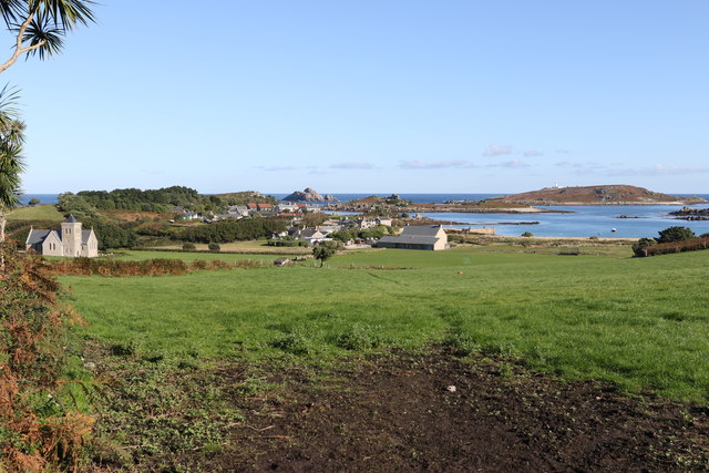
Clodgie Point is a picturesque coastal area located in Cornwall, England. It is primarily known for its unique landscape, characterized by a combination of coastal marsh and saltings. The area is situated between two magnificent headlands, offering breathtaking views of the surrounding sea and nearby cliffs.

The coastal marsh at Clodgie Point is a haven for various species of flora and fauna. The marshland is characterized by its rich soil, which supports a diverse range of plant life, including marsh grasses, reeds, and wildflowers. This abundance of vegetation provides an ideal habitat for numerous bird species, such as wading birds and waterfowl, which can often be spotted nesting or feeding in the marsh.

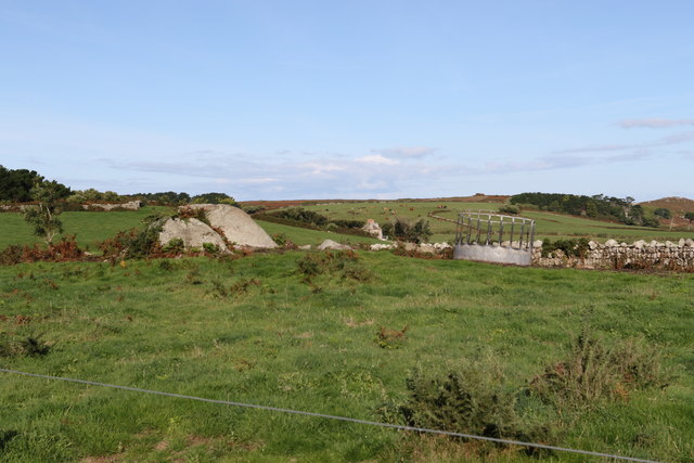
Adjacent to the marshland, the saltings at Clodgie Point are a unique ecosystem formed by the accumulation of salt deposits. These salt marshes are home to a variety of salt-tolerant plants, including samphire and sea lavender. The saltings also attract a myriad of bird species, including terns, gulls, and egrets, which forage for food in the shallow waters of the saltings.

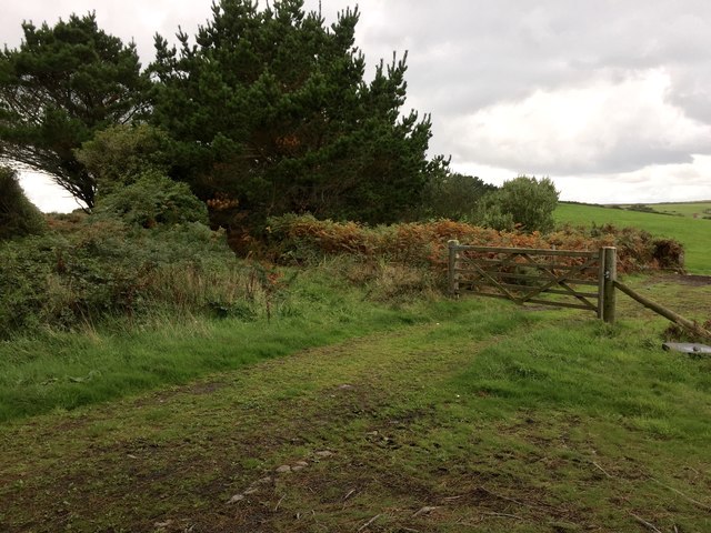
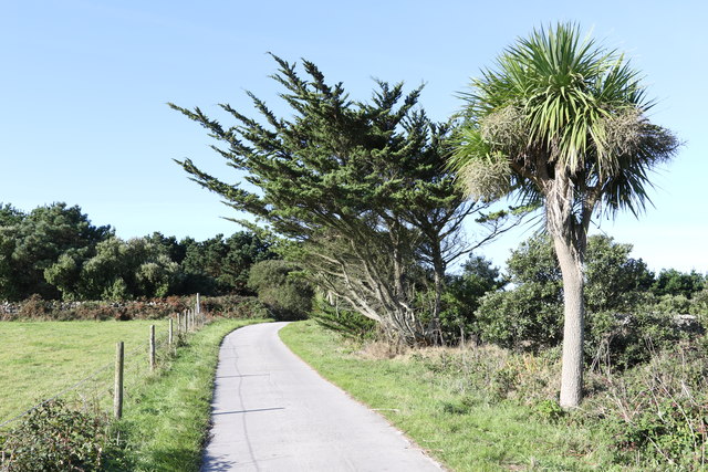
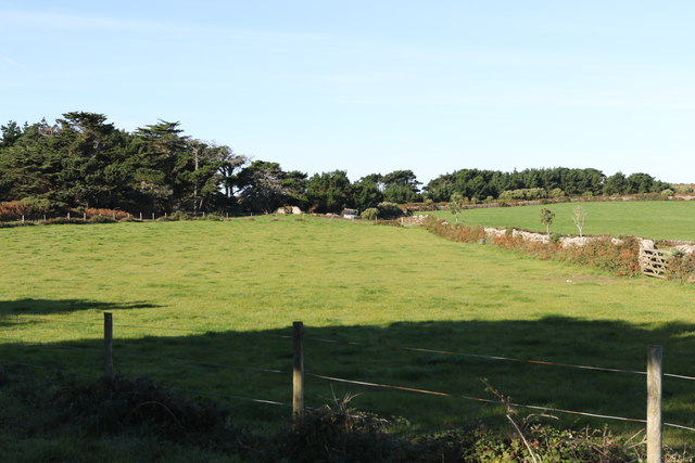
The coastal location of Clodgie Point also provides ample opportunities for recreational activities. The area is popular among hikers and nature enthusiasts who enjoy exploring the coastal trails and observing the diverse wildlife. Additionally, the nearby sandy beaches offer a perfect spot for sunbathing, picnicking, and swimming during the warmer months.

Overall, Clodgie Point in Cornwall is a remarkable coastal marsh and saltings area, offering visitors a chance to immerse themselves in the natural beauty and tranquility of this unique landscape.

If you have any feedback on the listing, please let us know in the comments section below.

Clodgie Point Images

Images are sourced within 2km of 49.964719/-6.3105461 or Grid Reference SV9016. Thanks to Geograph Open Source API. All images are credited.

A boat off the north of Tresco Taken in 2005 but only just being submitted, so I hope I have the view direction correct. Tresco is a wonderful peaceful island at any time of the year, but especially in Spring.
A boat off the north of Tresco
Taken in 2005 but only just being submitted, so I hope I have the view direction correct. Tresco is a wonderful peaceful island at any time of the year, but especially in Spring.
Lower Town Quay The smaller of the two quays on St Martin’s. The larger quay at Higher Town is the one used for freight deliveries, but is inaccessible at a low tide.

The island behind is the uninhabited Tean (pronounced tea-an).
Lower Town Quay
The smaller of the two quays on St Martin’s. The larger quay at Higher Town is the one used for freight deliveries, but is inaccessible at a low tide. The island behind is the uninhabited Tean (pronounced tea-an).
Great Bay panorama On of the most beautiful spots on the islands.
Great Bay panorama
On of the most beautiful spots on the islands.
Church , Tresco Taken during walk round north of Island
Church , Tresco
Taken during walk round north of Island
Clearing the bracken Near the Blockhouse, Tresco
Clearing the bracken
Near the Blockhouse, Tresco
The Ruin Inn A cafe and restaurant in Old Grimsby, Tresco
The Ruin Inn
A cafe and restaurant in Old Grimsby, Tresco
Old Grimsby Quay Looking towards Foreman's Island
Old Grimsby Quay
Looking towards Foreman's Island
Moored up in Green Porth In Old Grimsby Harbour
Moored up in Green Porth
In Old Grimsby Harbour
St Nicholas' Church, Tresco From the south
St Nicholas' Church, Tresco
From the south
Gate to the fields On the hill above Old Grimsby
Gate to the fields
On the hill above Old Grimsby
Field above Old Grimsby harbour Looking towards the Sea Garden Cottages development.
Field above Old Grimsby harbour
Looking towards the Sea Garden Cottages development.
Wind shaped trees Above Old Grimsby harbour
Wind shaped trees
Above Old Grimsby harbour
Fields above Old Grimsby harbour Part of Borough Farm
Fields above Old Grimsby harbour
Part of Borough Farm
Towards Old Grimsby Harbour Looking at the islands between Tresco and St Martins.
Towards Old Grimsby Harbour
Looking at the islands between Tresco and St Martins.
The edge of the woodland Above Old Grimsby harbour
The edge of the woodland
Above Old Grimsby harbour
Feed enclosure Part of Borough Farm
Feed enclosure
Part of Borough Farm
Looking down on the church Towards St Nicholas' Church, Tresco
Looking down on the church
Towards St Nicholas' Church, Tresco
Old Grimsby harbour From Borough Farm fields
Old Grimsby harbour
From Borough Farm fields
Show me another place!

Clodgie Point is located at Grid Ref: SV9016 (Lat: 49.964719, Lng: -6.3105461)

Division: Isles of Scilly

Unitary Authority: Isles of Scilly

Police Authority: Devon and Cornwall

What 3 Words

///gazette.basic.handfuls. Near Tresco, Isles of Scilly

Related Wikis

Teän

Teän ( TEE-ən, sometimes written Tean without the diaeresis; Cornish: Enys Tian) is an uninhabited island to the north of the Isles of Scilly archipelago...

Lower Town, Isles of Scilly

Lower Town (Cornish: Trewoles) is the westernmost settlement on the island of St Martin's in the Isles of Scilly, England. One of the island's two quays...

Middle Town, St Martin's

Middle Town (Cornish: Tregres) is a small settlement on the island of St Martin's in the Isles of Scilly, England. It is situated slightly inland, approximately...

St Helen's, Isles of Scilly

St Helen's (Cornish: Enys Elyd or Enys Elidius) is one of the fifty or so uninhabited islands in the archipelago of the Isles of Scilly and has an approximate...

Nearby Amenities

Located within 500m of 49.964719,-6.3105461
Source: PGS
Lat/Long: 49.9661686/-6.3042959
Source: PGS
Lat/Long: 49.9657891/-6.3045393
Source: PGS
Lat/Long: 49.9654151/-6.3048506
Source: PGS
Lat/Long: 49.96522/-6.304899
Source: PGS
Lat/Long: 49.9649343/-6.3048956
Source: PGS
Lat/Long: 49.9639079/-6.3036985
Information: map
Tourism: information
Lat/Long: 49.9657121/-6.3040211
Ferry Terminal
Leisure: slipway
Lat/Long: 49.9660741/-6.3051119
Great Hill
Natural: peak
Note: tentative location only
Source: Bing
Lat/Long: 49.9691828/-6.3105644
Teän Sound
Natural: bay
Lat/Long: 49.9677949/-6.3060304
Natural: peak
Lat/Long: 49.9654045/-6.3093498
West Porth
Natural: bay
Lat/Long: 49.9676469/-6.3152672
The data included in this document is from www.openstreetmap.org. The data is made available under ODbL.

Have you been to Clodgie Point?

Leave your review of Clodgie Point below (or comments, questions and feedback).