East Porth

Bay in Cornwall

England

East Porth

A boat off the north of Tresco Taken in 2005 but only just being submitted, so I hope I have the view direction correct. Tresco is a wonderful peaceful island at any time of the year, but especially in Spring.
A boat off the north of Tresco Credit: Malcolm Neal

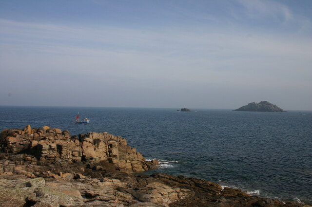
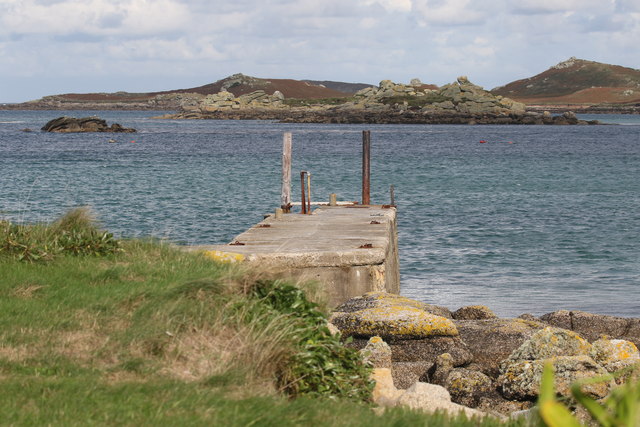
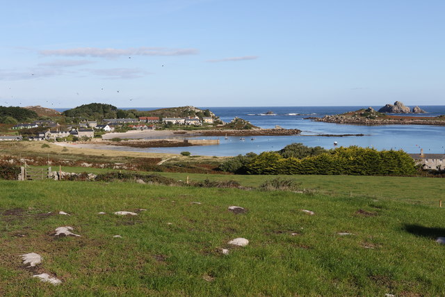
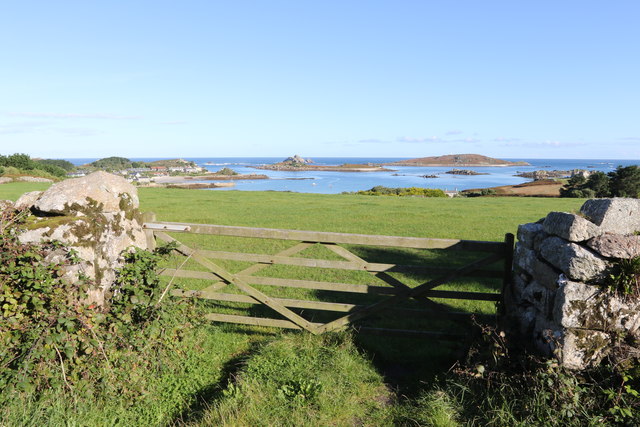
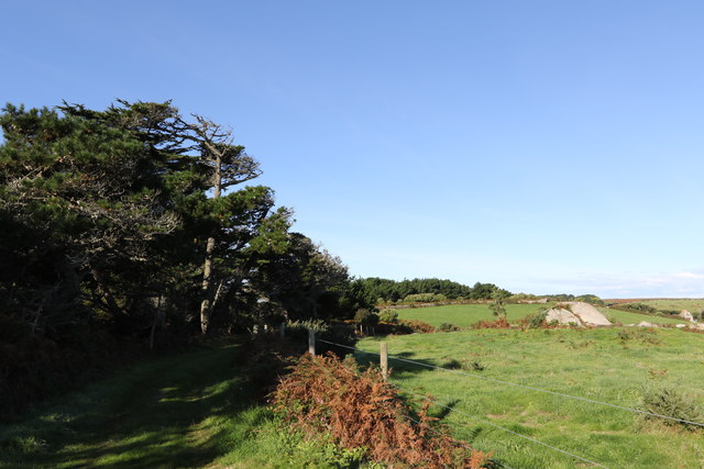
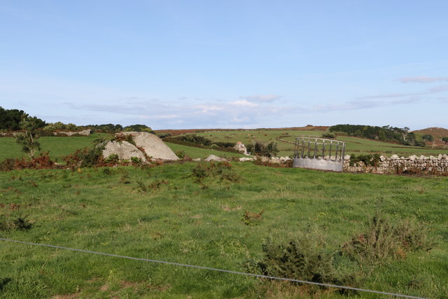
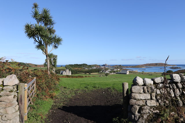
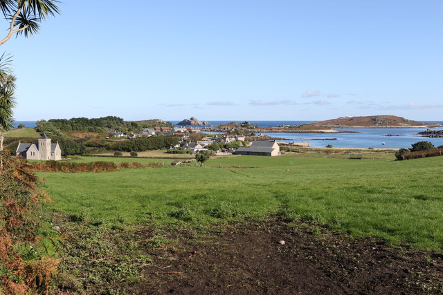
East Porth is a picturesque coastal village located in the county of Cornwall, England. Situated on the northern coast, East Porth is renowned for its stunning bay and breathtaking natural beauty. The village is nestled within a sheltered cove, surrounded by rugged cliffs and golden sandy beaches, making it a popular destination for both locals and tourists.

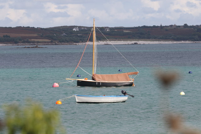
The bay of East Porth offers visitors a range of activities and attractions. The pristine beach is perfect for sunbathing, swimming, and beachcombing, while the clear waters are ideal for various water sports, including surfing, kayaking, and paddleboarding. The bay is also known for its rich marine life, making it a popular spot for snorkeling and scuba diving.

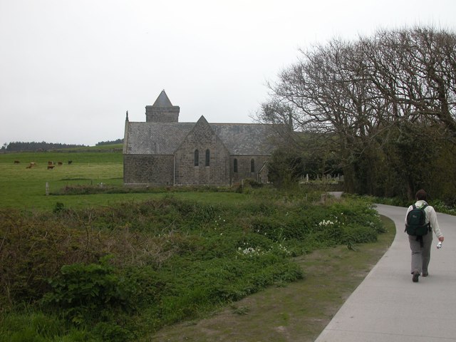
East Porth village itself boasts a charming atmosphere with a collection of traditional cottages and small shops. The village is dotted with cafes, restaurants, and pubs, offering a variety of local and international cuisines. Visitors can indulge in fresh seafood, traditional Cornish pasties, and delicious cream teas while enjoying the stunning views of the bay.

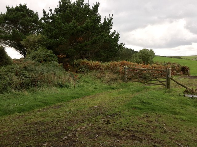
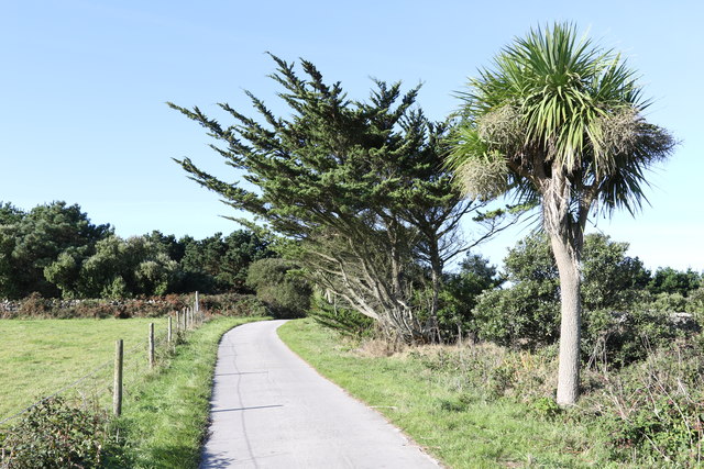
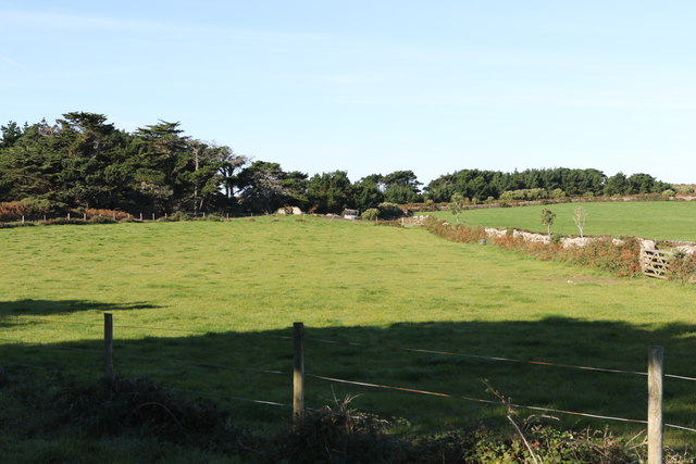
For those seeking outdoor adventures, East Porth is surrounded by beautiful coastal paths and nature reserves, providing ample opportunities for hiking and exploring the surrounding countryside. The village also serves as a gateway to the South West Coast Path, offering breathtaking walks along rugged cliffs and picturesque landscapes.

With its natural beauty, diverse activities, and friendly atmosphere, East Porth, Cornwall, is a must-visit destination for those seeking a peaceful coastal getaway.

If you have any feedback on the listing, please let us know in the comments section below.

East Porth Images

Images are sourced within 2km of 49.965925/-6.3119793 or Grid Reference SV9016. Thanks to Geograph Open Source API. All images are credited.

A boat off the north of Tresco Taken in 2005 but only just being submitted, so I hope I have the view direction correct. Tresco is a wonderful peaceful island at any time of the year, but especially in Spring.
A boat off the north of Tresco
Taken in 2005 but only just being submitted, so I hope I have the view direction correct. Tresco is a wonderful peaceful island at any time of the year, but especially in Spring.
Lower Town Quay The smaller of the two quays on St Martin’s. The larger quay at Higher Town is the one used for freight deliveries, but is inaccessible at a low tide.

The island behind is the uninhabited Tean (pronounced tea-an).
Lower Town Quay
The smaller of the two quays on St Martin’s. The larger quay at Higher Town is the one used for freight deliveries, but is inaccessible at a low tide. The island behind is the uninhabited Tean (pronounced tea-an).
Great Bay panorama On of the most beautiful spots on the islands.
Great Bay panorama
On of the most beautiful spots on the islands.
Church , Tresco Taken during walk round north of Island
Church , Tresco
Taken during walk round north of Island
Clearing the bracken Near the Blockhouse, Tresco
Clearing the bracken
Near the Blockhouse, Tresco
The Ruin Inn A cafe and restaurant in Old Grimsby, Tresco
The Ruin Inn
A cafe and restaurant in Old Grimsby, Tresco
Old Grimsby Quay Looking towards Foreman's Island
Old Grimsby Quay
Looking towards Foreman's Island
Moored up in Green Porth In Old Grimsby Harbour
Moored up in Green Porth
In Old Grimsby Harbour
St Nicholas' Church, Tresco From the south
St Nicholas' Church, Tresco
From the south
Gate to the fields On the hill above Old Grimsby
Gate to the fields
On the hill above Old Grimsby
Field above Old Grimsby harbour Looking towards the Sea Garden Cottages development.
Field above Old Grimsby harbour
Looking towards the Sea Garden Cottages development.
Wind shaped trees Above Old Grimsby harbour
Wind shaped trees
Above Old Grimsby harbour
Fields above Old Grimsby harbour Part of Borough Farm
Fields above Old Grimsby harbour
Part of Borough Farm
Towards Old Grimsby Harbour Looking at the islands between Tresco and St Martins.
Towards Old Grimsby Harbour
Looking at the islands between Tresco and St Martins.
The edge of the woodland Above Old Grimsby harbour
The edge of the woodland
Above Old Grimsby harbour
Feed enclosure Part of Borough Farm
Feed enclosure
Part of Borough Farm
Looking down on the church Towards St Nicholas' Church, Tresco
Looking down on the church
Towards St Nicholas' Church, Tresco
Old Grimsby harbour From Borough Farm fields
Old Grimsby harbour
From Borough Farm fields
Show me another place!

East Porth is located at Grid Ref: SV9016 (Lat: 49.965925, Lng: -6.3119793)

Division: Isles of Scilly

Unitary Authority: Isles of Scilly

Police Authority: Devon and Cornwall

What 3 Words

///instructs.occupiers.sparkle. Near Tresco, Isles of Scilly

Related Wikis

Teän

Teän ( TEE-ən, sometimes written Tean without the diaeresis; Cornish: Enys Tian) is an uninhabited island to the north of the Isles of Scilly archipelago...

Lower Town, Isles of Scilly

Lower Town (Cornish: Trewoles) is the westernmost settlement on the island of St Martin's in the Isles of Scilly, England. One of the island's two quays...

Middle Town, St Martin's

Middle Town (Cornish: Tregres) is a small settlement on the island of St Martin's in the Isles of Scilly, England. It is situated slightly inland, approximately...

St Helen's, Isles of Scilly

St Helen's (Cornish: Enys Elyd or Enys Elidius) is one of the fifty or so uninhabited islands in the archipelago of the Isles of Scilly and has an approximate...

Nearby Amenities

Located within 500m of 49.965925,-6.3119793
Ferry Terminal
Leisure: slipway
Lat/Long: 49.9660741/-6.3051119
Great Hill
Natural: peak
Note: tentative location only
Source: Bing
Lat/Long: 49.9691828/-6.3105644
Teän Sound
Natural: bay
Lat/Long: 49.9677949/-6.3060304
Natural: peak
Lat/Long: 49.9654045/-6.3093498
Kipper Carn
Natural: peak
Lat/Long: 49.9686963/-6.313974
West Porth
Natural: bay
Lat/Long: 49.9676469/-6.3152672
The data included in this document is from www.openstreetmap.org. The data is made available under ODbL.

Have you been to East Porth?

Leave your review of East Porth below (or comments, questions and feedback).