Glory Hole
Coastal Feature, Headland, Point in Cornwall
England
Glory Hole
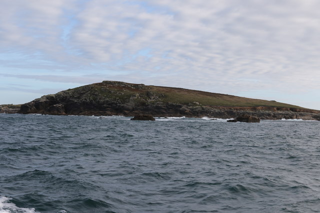
Glory Hole is a prominent coastal feature located in Cornwall, England. It is a picturesque headland that extends into the Atlantic Ocean, forming a distinct point along the rugged coastline. The name "Glory Hole" originates from its unique natural formation, where a hole has been eroded through a vertical cliff face, creating a striking geological feature.
The headland is composed of sedimentary rocks, primarily consisting of slate and shale, which have been shaped over millions of years by the relentless force of the ocean waves. These rocks display intricate patterns and textures, adding to the visual appeal of the area. The coastal cliffs rise dramatically from the sea, reaching heights of up to 100 meters, providing breathtaking panoramic views of the surrounding landscape.
Glory Hole is not only admired for its natural beauty but also for its rich biodiversity. The headland is home to a diverse range of flora and fauna, with various species of seabirds nesting on its sheer cliffs. The coastal waters surrounding the point are teeming with marine life, making it a popular spot for fishing and diving enthusiasts.
From a historical perspective, Glory Hole has witnessed centuries of human activity. It served as a lookout point during World War II, providing a strategic vantage point for coastal defense. Today, visitors can explore the remnants of old military structures and imagine the area's historical significance.
Glory Hole, Cornwall, with its stunning cliffs, unique rock formations, and abundant wildlife, offers visitors an opportunity to immerse themselves in the natural beauty and cultural heritage of this captivating coastal region.
If you have any feedback on the listing, please let us know in the comments section below.
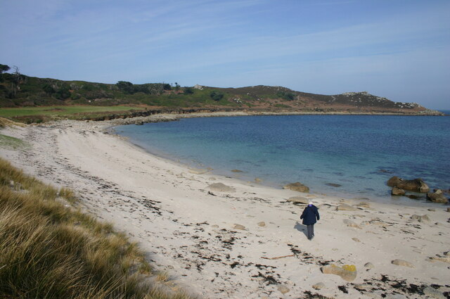
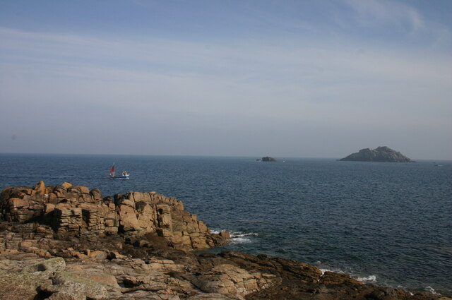
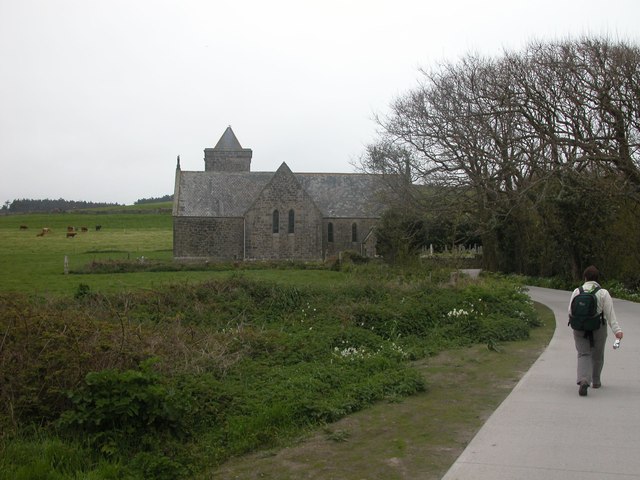
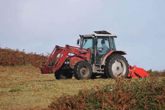
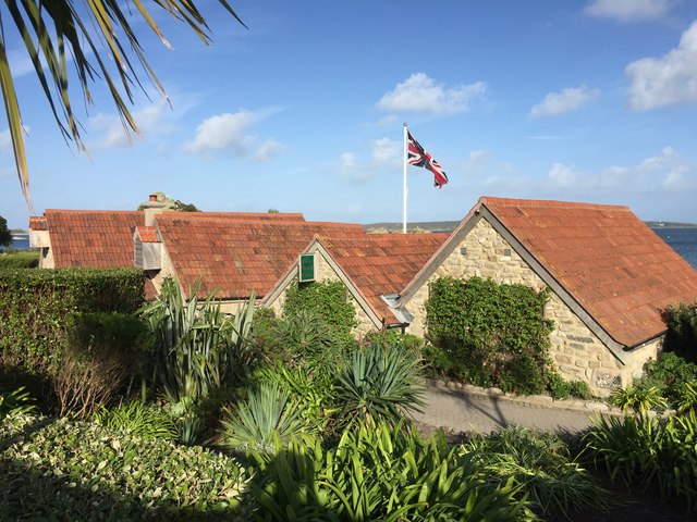
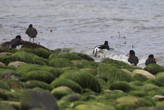
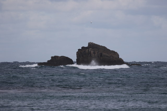
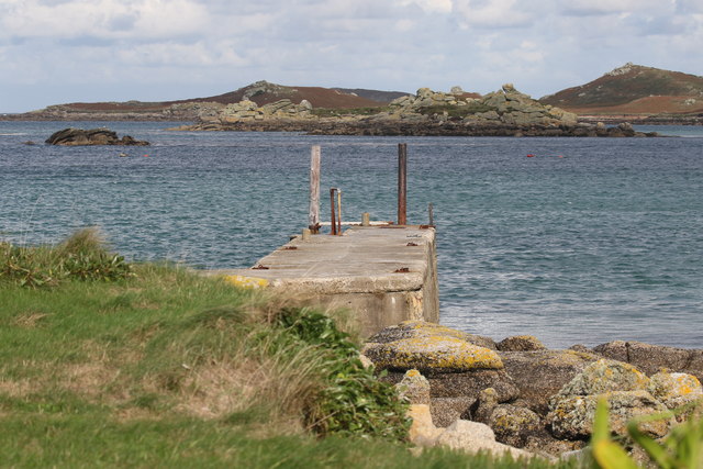
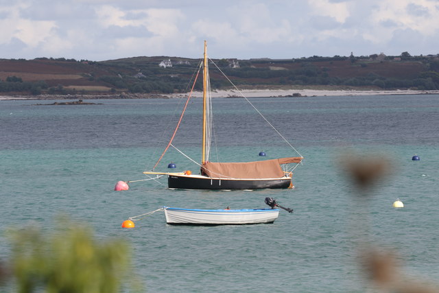
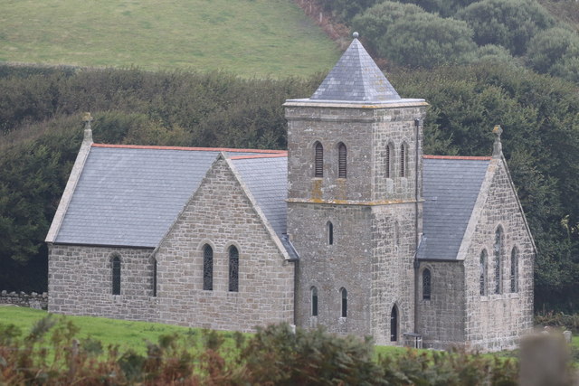
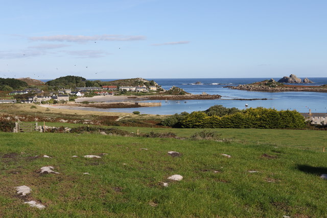
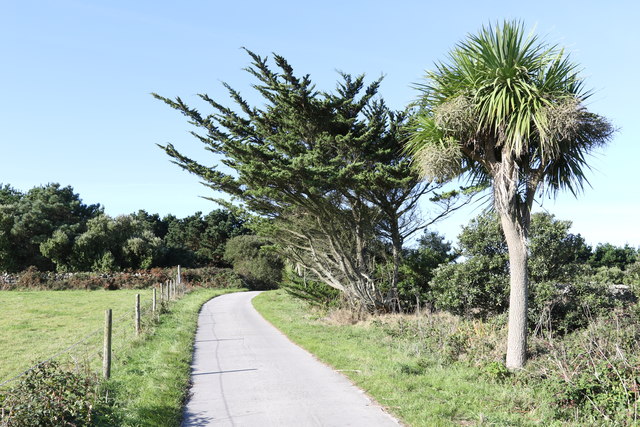
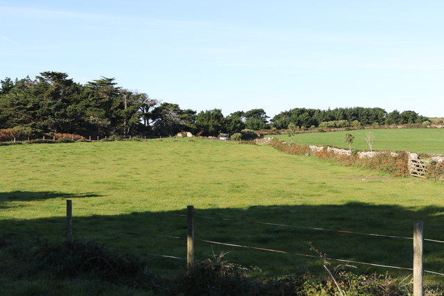
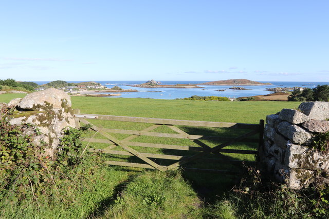
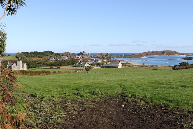
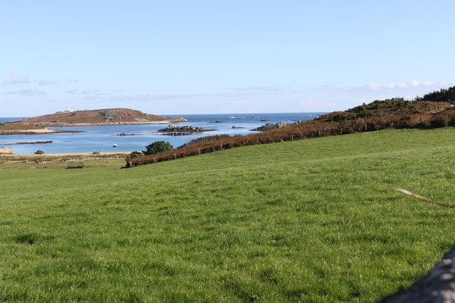
Glory Hole Images
Images are sourced within 2km of 49.970438/-6.3154665 or Grid Reference SV9016. Thanks to Geograph Open Source API. All images are credited.

Glory Hole is located at Grid Ref: SV9016 (Lat: 49.970438, Lng: -6.3154665)
Division: Isles of Scilly
Unitary Authority: Isles of Scilly
Police Authority: Devon and Cornwall
What 3 Words
///often.lizard.geologist. Near Tresco, Isles of Scilly
Nearby Locations
Related Wikis

Teän
Teän ( TEE-ən, sometimes written Tean without the diaeresis; Cornish: Enys Tian) is an uninhabited island to the north of the Isles of Scilly archipelago...

St Helen's, Isles of Scilly
St Helen's (Cornish: Enys Elyd or Enys Elidius) is one of the fifty or so uninhabited islands in the archipelago of the Isles of Scilly and has an approximate...

Round Island Light, Isles of Scilly
Round Island Lighthouse (Cornish: Golowji an Voth "the hump lighthouse"), in the Isles of Scilly was designed by William Tregarthen Douglass for Trinity...

Lower Town, Isles of Scilly
Lower Town (Cornish: Trewoles) is the westernmost settlement on the island of St Martin's in the Isles of Scilly, England. One of the island's two quays...
Nearby Amenities
Located within 500m of 49.970438,-6.3154665Have you been to Glory Hole?
Leave your review of Glory Hole below (or comments, questions and feedback).