Carn Mahael
Coastal Feature, Headland, Point in Cornwall
England
Carn Mahael

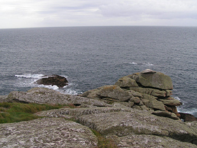
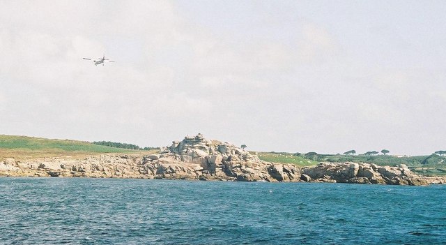
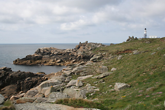
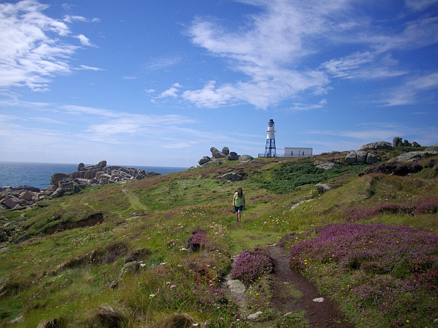
Carn Mahael is a prominent coastal feature located in Cornwall, England. Known as a headland or point, it stretches out into the Atlantic Ocean, forming a stunning and rugged landscape. The name “Carn Mahael” is derived from the Cornish language, with "carn" meaning a rocky hill or tor, and "mahael" referring to a plain or field.
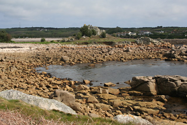
Situated along the picturesque coastal path, Carn Mahael offers breathtaking views of the surrounding area. Its towering cliffs, carved by centuries of erosion, create an impressive backdrop against the crashing waves below. The headland is composed of a mixture of sedimentary rocks, including slate and shale, which add to its distinctive and varied appearance.
At the top of Carn Mahael, visitors can find a well-maintained walking trail that meanders along the edge of the cliff, providing a panoramic vista of the coastline. This path is a popular destination for hikers and nature enthusiasts, who come to appreciate the area's natural beauty and abundant wildlife. Seabirds such as gulls, cormorants, and fulmars can often be spotted nesting on the cliffs, while dolphins and seals occasionally make appearances in the waters below.
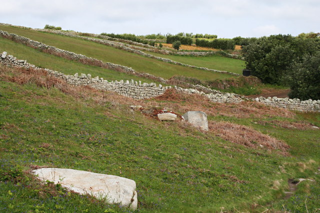
In addition to its stunning views and diverse wildlife, Carn Mahael also holds historical significance. The headland is home to several ancient settlements, including remnants of Iron Age fortifications and burial grounds. These archaeological remains offer a glimpse into the area's past and provide valuable insights into the lives of its early inhabitants.
Overall, Carn Mahael is a captivating coastal feature that combines natural beauty, historical significance, and abundant wildlife. It is a must-visit destination for those seeking to immerse themselves in Cornwall's stunning natural landscapes.
If you have any feedback on the listing, please let us know in the comments section below.
Carn Mahael Images
Images are sourced within 2km of 49.90749/-6.308123 or Grid Reference SV9009. Thanks to Geograph Open Source API. All images are credited.


Carn Mahael is located at Grid Ref: SV9009 (Lat: 49.90749, Lng: -6.308123)
Division: Isles of Scilly
Unitary Authority: Isles of Scilly
Police Authority: Devon and Cornwall
What 3 Words
///aboard.mimics.crisps. Near St Mary's, Isles of Scilly
Nearby Locations
Related Wikis

Minnehaha (cargo ship)
The Minnehaha was a barque built in 1857 and wrecked on 18 January 1874 in the Isles of Scilly. == Wreck == On 18 January 1874, while travelling from...
Peninnis Head
Peninnis Head (Cornish: Penn Enys, meaning Island Head) is the southernmost point of St Mary's, Isles of Scilly. The headland is within the Isles of Scilly...

Peninnis Lighthouse
Peninnis Lighthouse is situated on Peninnis Head, St Mary's, Isles of Scilly. == History == The light was built to replace the lighthouse in the centre...

St Mary's Old Church, St Mary's
St Mary's Old Church, St Mary's is a parish church in the Church of England located in Old Town on St Mary's, Isles of Scilly, Cornwall, United Kingdom...
Nearby Amenities
Located within 500m of 49.90749,-6.308123Have you been to Carn Mahael?
Leave your review of Carn Mahael below (or comments, questions and feedback).