Bàgh an Eireannach
Bay in Inverness-shire
Scotland
Bàgh an Eireannach
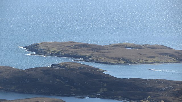
Bàgh an Eireannach, also known as the Bay of the Irishman, is a picturesque bay located in the region of Inverness-shire, Scotland. Situated on the west coast of the country, the bay offers breathtaking views of rugged landscapes and a tranquil atmosphere that attracts visitors from all over the world.
The bay itself is a natural inlet formed by the confluence of several small rivers, including the River Easaidh and the River Meig. Its unique shape, with its curving coastline and sheltered waters, makes it an ideal spot for various recreational activities, such as boating, fishing, and kayaking.
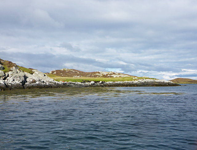
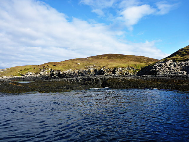
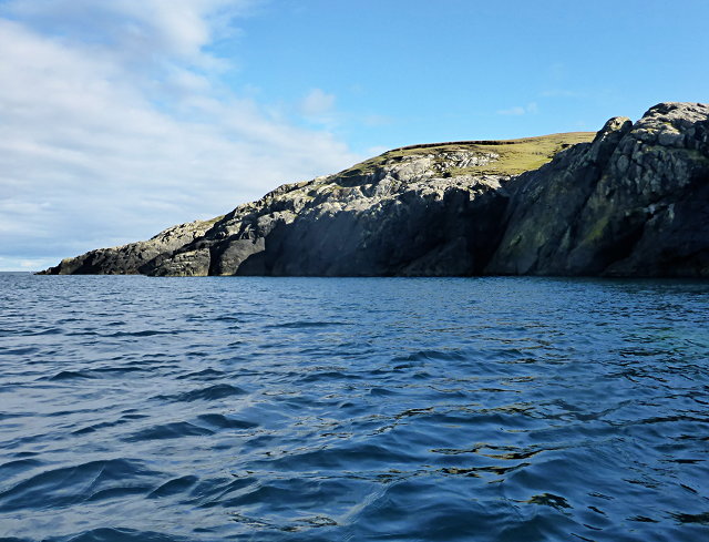
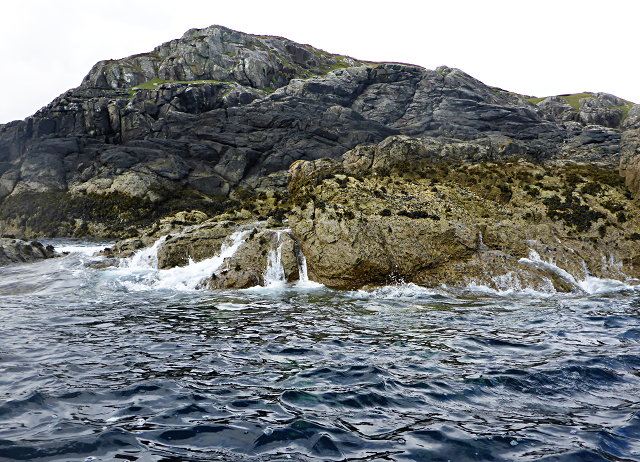
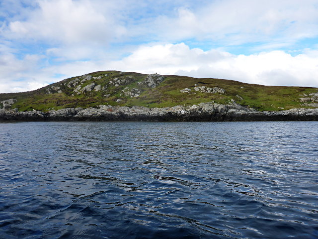
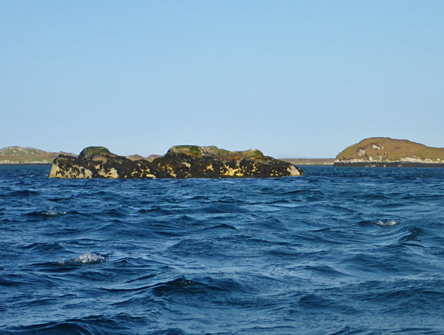
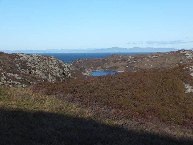
The surrounding area of Bàgh an Eireannach is rich in natural beauty. Lush green hills and forests frame the bay, providing visitors with ample opportunities for hiking and exploring the stunning Scottish countryside. The bay is also home to a variety of wildlife, including seals, otters, and various seabirds, which can be observed from the shoreline or on boat trips.
For history enthusiasts, Bàgh an Eireannach has its own tales to tell. The bay was once a hub for trade and transportation, with ships coming and going to nearby settlements. Ruins of old piers and harbors can still be found along the bay, reminding visitors of its historical significance.
In summary, Bàgh an Eireannach is a captivating bay in Inverness-shire, Scotland, offering a blend of natural beauty, recreational activities, and historical charm. Whether it's enjoying the serene waters, exploring the surrounding landscapes, or immersing oneself in the bay's rich history, visitors are sure to find something to captivate them in this stunning location.
If you have any feedback on the listing, please let us know in the comments section below.
Bàgh an Eireannach Images
Images are sourced within 2km of 57.493653/-7.161887 or Grid Reference NF9056. Thanks to Geograph Open Source API. All images are credited.
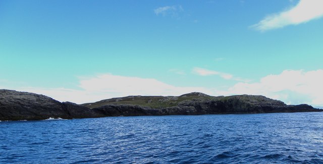
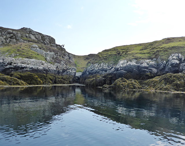
![East coast of Ronay A narrow gap between the tiny island of Eilean na Cloiche [left] and Ronay, leading to a small inlet.](https://s2.geograph.org.uk/geophotos/02/07/34/2073482_b1601bc1.jpg)
![You are being watched A group [possibly 8] of red deer on the east side of Ronay. Deer are known to swim the sea channels between Ronay, Grimsay and North Uist. Currently, deer are the only large grazing animals on Ronay, there being no sheep on the island in 2010.](https://s1.geograph.org.uk/geophotos/02/07/34/2073493_25e2b010.jpg)

Bàgh an Eireannach is located at Grid Ref: NF9056 (Lat: 57.493653, Lng: -7.161887)
Unitary Authority: Na h-Eileanan an Iar
Police Authority: Highlands and Islands
What 3 Words
///quits.toffee.scrapped. Near Lochmaddy, Na h-Eileanan Siar
Nearby Locations
Related Wikis

Flodaigh Mòr
Flodaigh Mòr (or Floddaymore) is an uninhabited island in the Outer Hebrides of Scotland. == Geography and geology == Flodaigh Mòr lies east of North Uist...

Ronay
Ronay (Scottish Gaelic: Rònaigh) is an island in the Outer Hebrides of Scotland, which lies a short distance off the east coast of Grimsay. == Geography... ==
Grimsay
Grimsay (Scottish Gaelic: Griomasaigh) is a tidal island in the Outer Hebrides of Scotland. == Geography == Grimsay is the largest of the low-lying stepping...

Fraoch-Eilean
Fraoch-eilean is a small island with an uncertain population north of Benbecula in the Outer Hebrides of Scotland. It is about 55 hectares (140 acres...
Nearby Amenities
Located within 500m of 57.493653,-7.161887Have you been to Bàgh an Eireannach?
Leave your review of Bàgh an Eireannach below (or comments, questions and feedback).