Clevage Hills
Range Of Mountains, Range Of Hills in Perthshire
Scotland
Clevage Hills
The requested URL returned error: 429 Too Many Requests
If you have any feedback on the listing, please let us know in the comments section below.
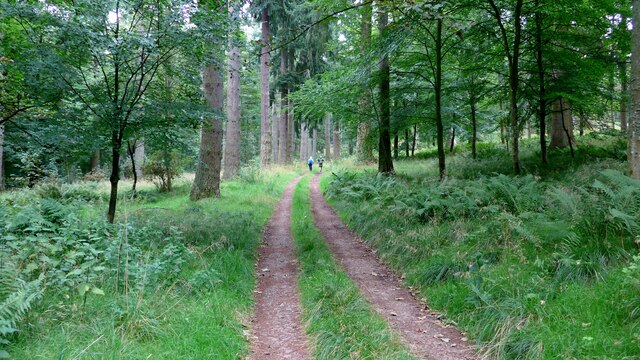
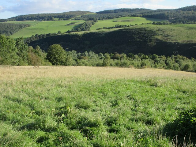
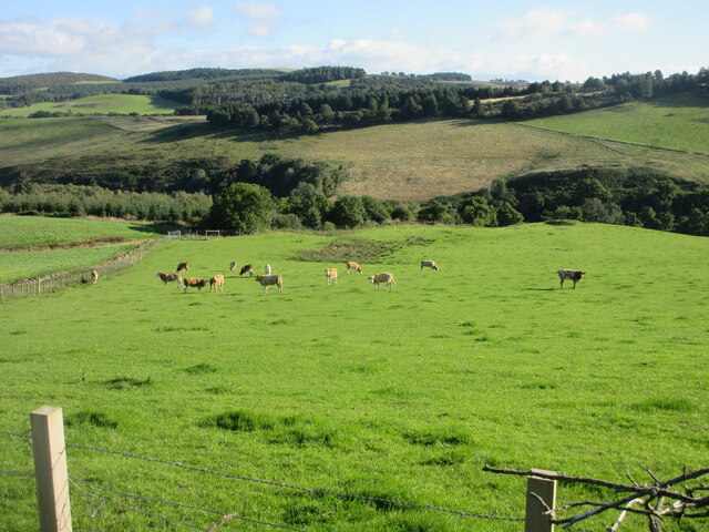
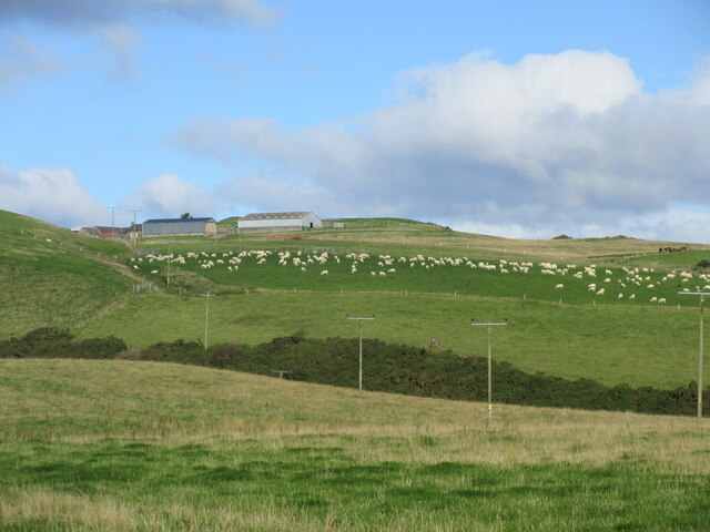
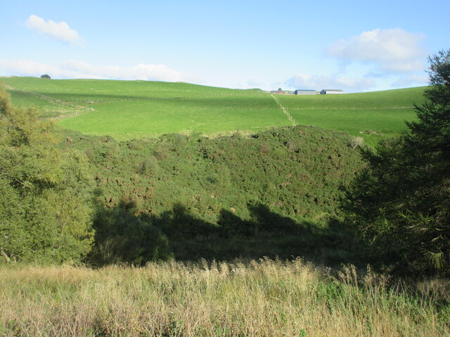
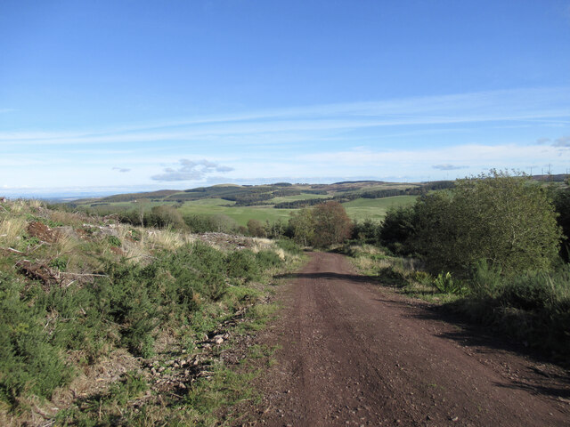
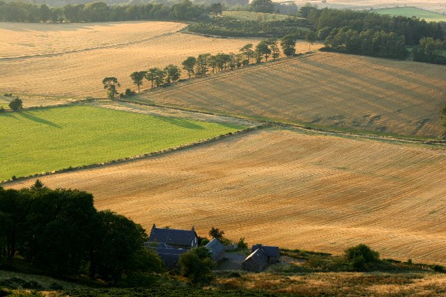
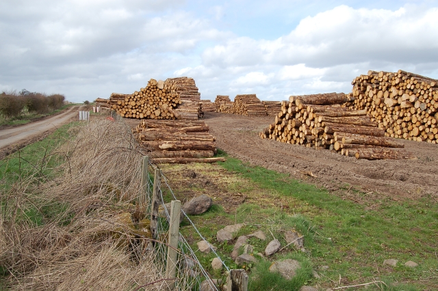
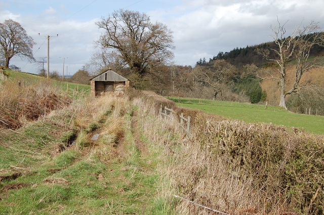
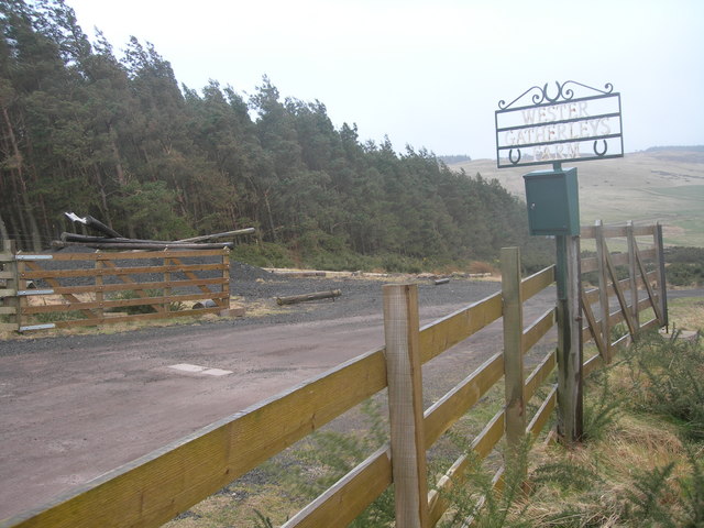
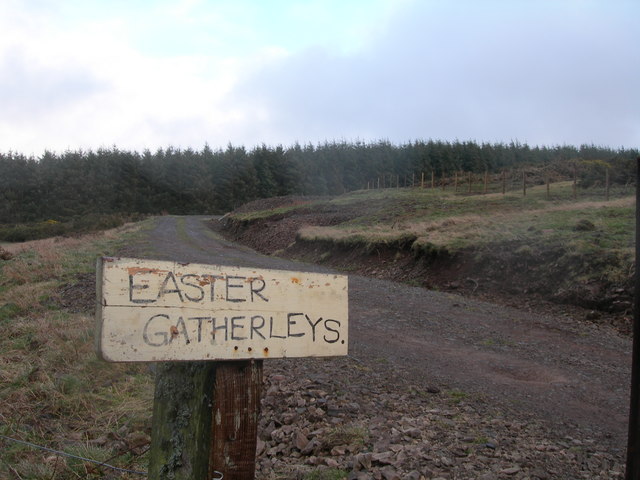
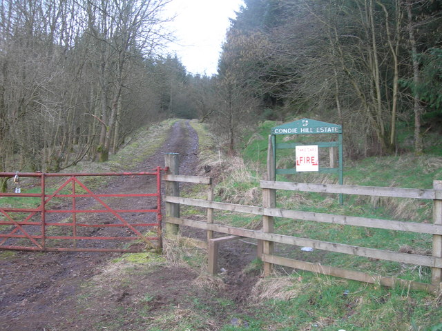
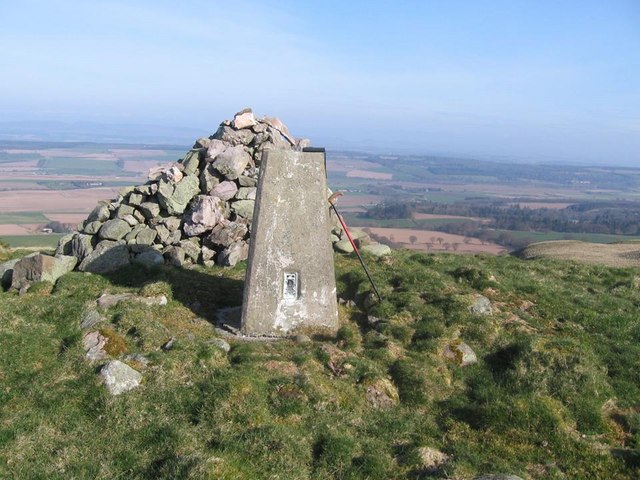
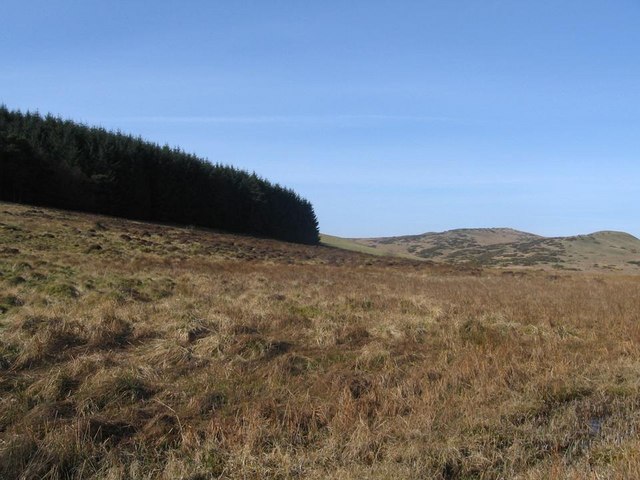
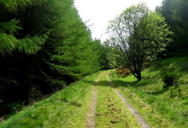
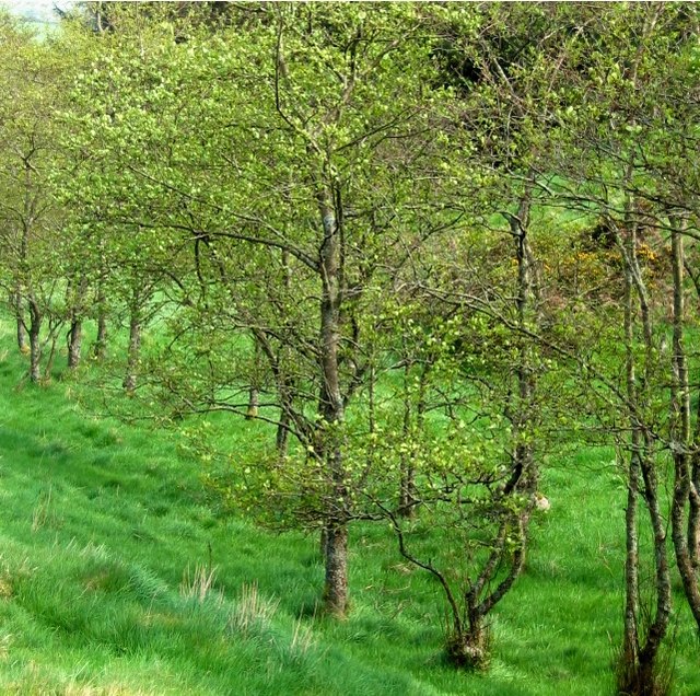
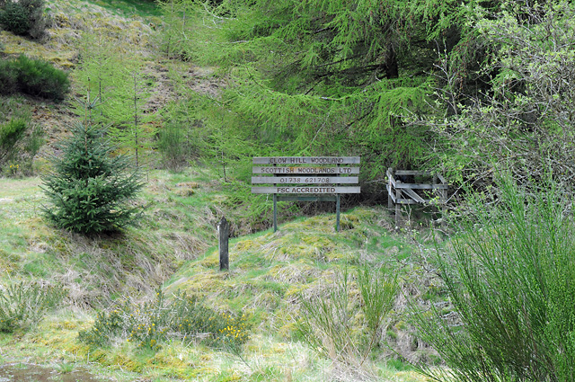
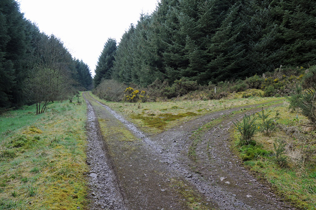
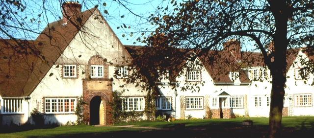
Clevage Hills Images
Images are sourced within 2km of 56.305599/-3.5209922 or Grid Reference NO0513. Thanks to Geograph Open Source API. All images are credited.
Clevage Hills is located at Grid Ref: NO0513 (Lat: 56.305599, Lng: -3.5209922)
Unitary Authority: Perth and Kinross
Police Authority: Tayside
What 3 Words
///cakewalk.thunder.type. Near Bridge of Earn, Perth & Kinross
Nearby Locations
Related Wikis

Invermay
Invermay ( ) is a diffuse settlement in Perth and Kinross, Scotland. It is situated approximately 2 km southeast of Forteviot on the Water of May, some...

Ochil and South Perthshire (UK Parliament constituency)
Ochil and South Perthshire is a county constituency of the House of Commons of the Parliament of the United Kingdom. It elects one Member of Parliament...
Forteviot
Forteviot (Scottish Gaelic: Fothair Tabhaicht) (Ordnance Survey grid reference NO052175) is a village in Strathearn, Scotland on the south bank of the...

Forteviot Bronze Age tomb
Forteviot Bronze Age tomb is a Bronze Age burial chamber discovered in 2009 at Forteviot near Perth, Scotland. The Bronze Age tomb is one of a number of...
Have you been to Clevage Hills?
Leave your review of Clevage Hills below (or comments, questions and feedback).