Clevage Hill
Hill, Mountain in Perthshire
Scotland
Clevage Hill
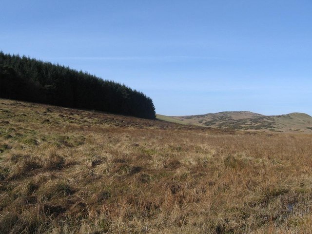
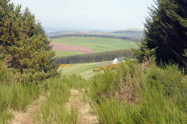
Cleavage Hill, located in Perthshire, Scotland, is a prominent hill or small mountain that is part of the scenic landscape of the region. It is situated within the wider Grampian Mountains range, which spans across the Scottish Highlands. Standing at an elevation of approximately 757 meters (2,484 feet), Cleavage Hill offers breathtaking panoramic views of the surrounding countryside.
The hill features a distinctive cleavage or gap on its western slopes, which has given rise to its unique name. This geological feature is believed to have been formed by a combination of glacial activity and erosion over thousands of years. The cleavage adds to the charm and allure of the hill, making it a popular destination for hikers and nature enthusiasts.
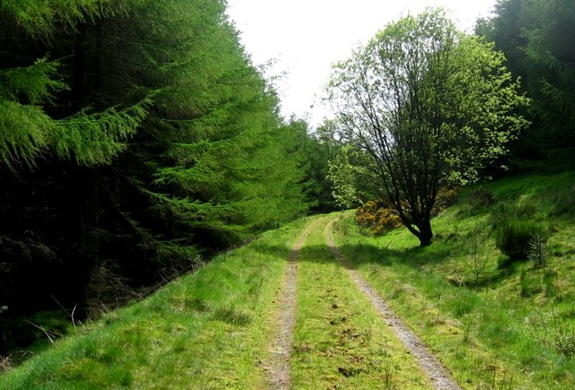
The ascent to Cleavage Hill is relatively moderate, with well-defined paths and trails leading to the summit. The hill is often frequented by locals and visitors alike, who enjoy the opportunity to explore the natural beauty of the area. The summit provides an ideal spot for picnics or simply taking in the breathtaking vistas of Perthshire and its surrounding valleys.
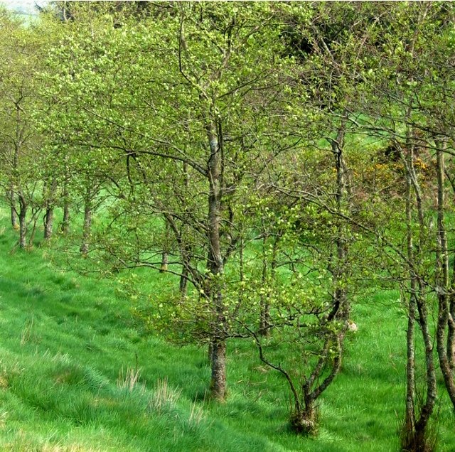
Flora and fauna are abundant on Cleavage Hill, with a variety of plant species and wildlife inhabiting its slopes. The hill is home to a diverse range of bird species, including golden eagles, peregrine falcons, and red grouse. It is also common to spot deer and other small mammals while traversing the hillside.
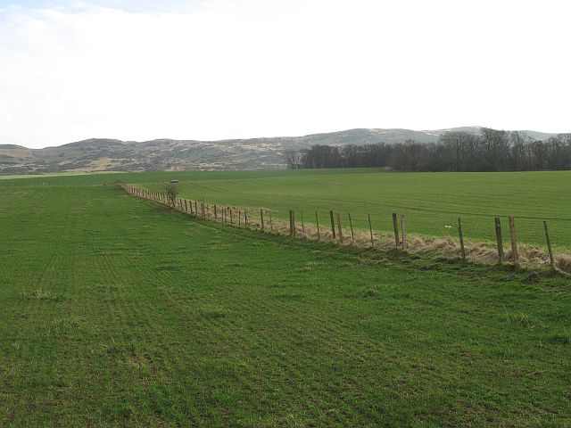
Overall, Cleavage Hill offers a rewarding and picturesque experience for outdoor enthusiasts, providing a glimpse into the natural wonders of Perthshire's landscape.
If you have any feedback on the listing, please let us know in the comments section below.
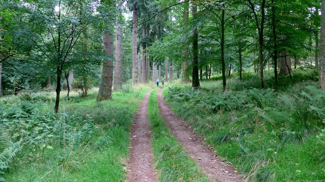
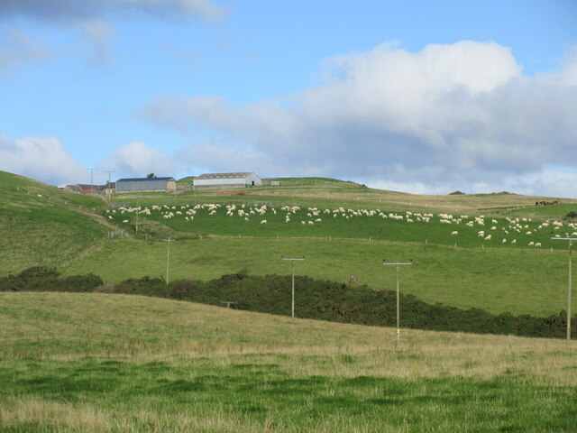
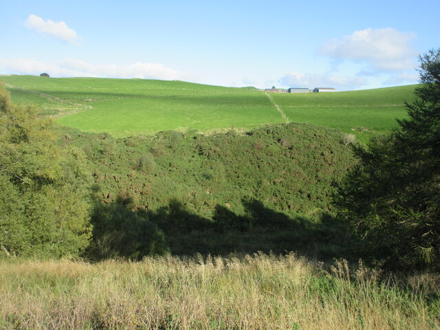
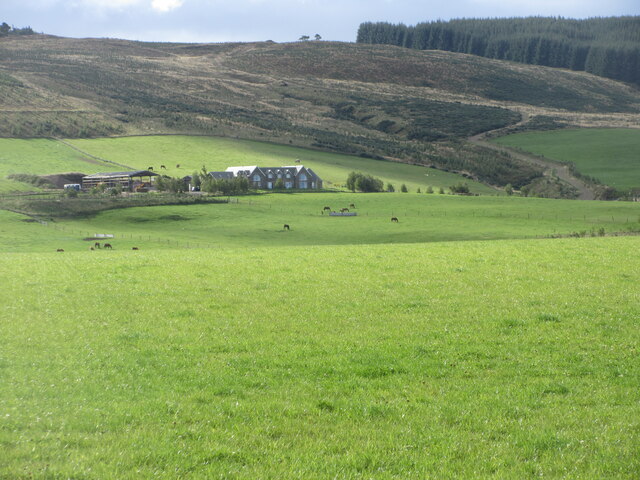
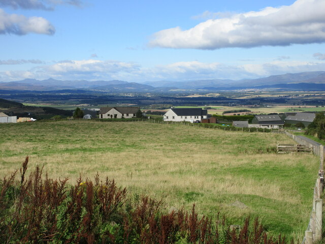
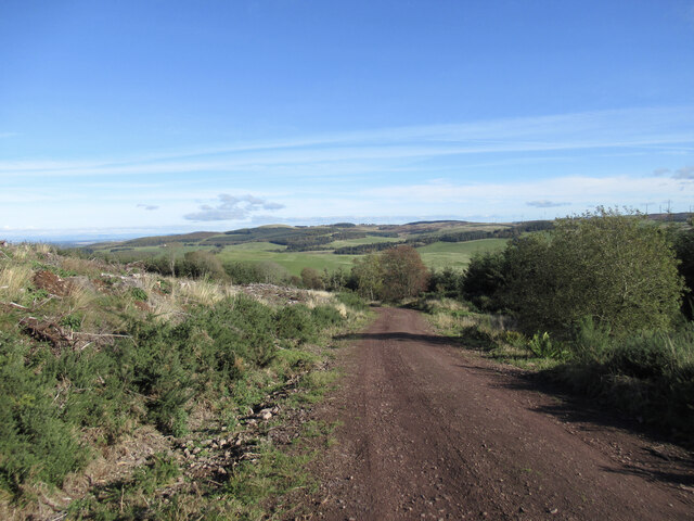
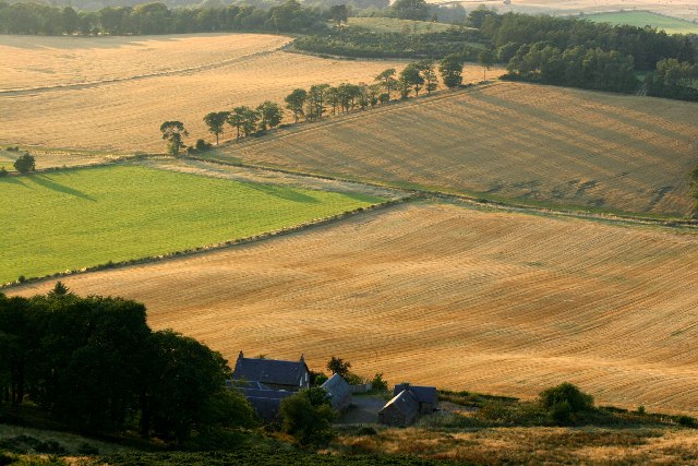
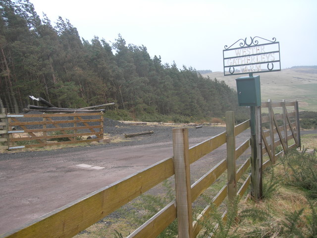
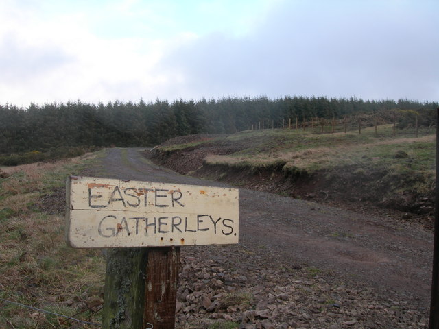
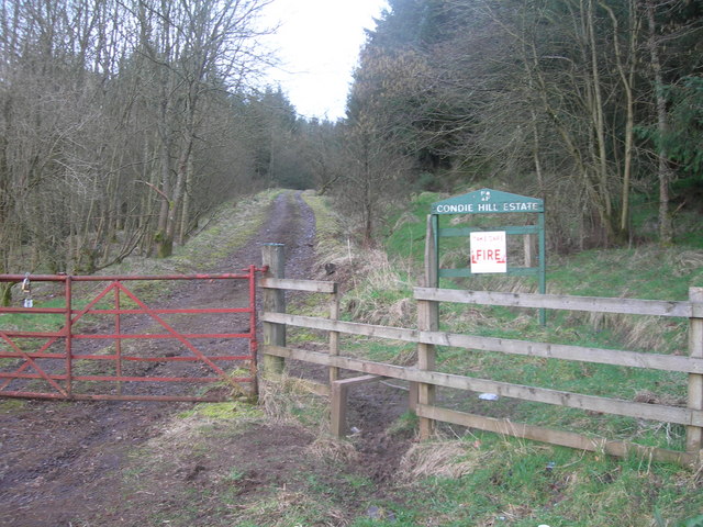
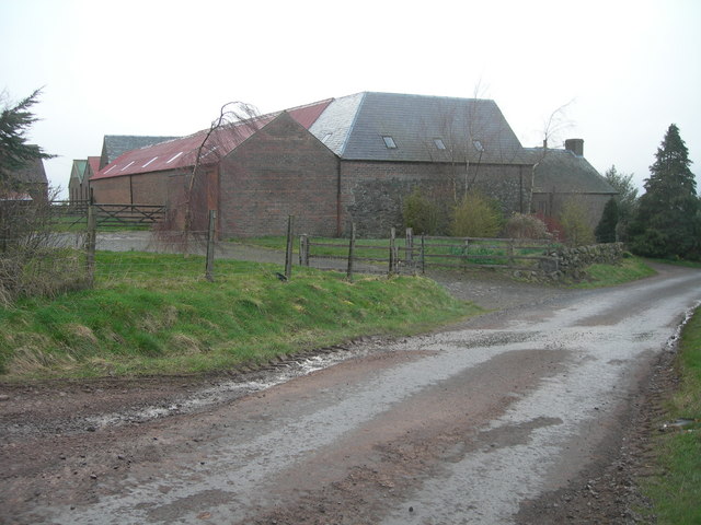
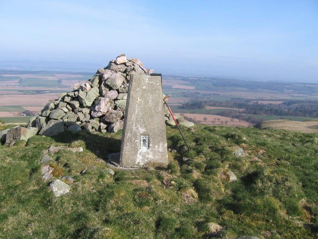
Clevage Hill Images
Images are sourced within 2km of 56.30466/-3.5308789 or Grid Reference NO0513. Thanks to Geograph Open Source API. All images are credited.

Clevage Hill is located at Grid Ref: NO0513 (Lat: 56.30466, Lng: -3.5308789)
Unitary Authority: Perth and Kinross
Police Authority: Tayside
What 3 Words
///fork.takeover.collision. Near Bridge of Earn, Perth & Kinross
Nearby Locations
Related Wikis

Invermay
Invermay ( ) is a diffuse settlement in Perth and Kinross, Scotland. It is situated approximately 2 km southeast of Forteviot on the Water of May, some...

Ochil and South Perthshire (UK Parliament constituency)
Ochil and South Perthshire is a county constituency of the House of Commons of the Parliament of the United Kingdom. It elects one Member of Parliament...

Dupplin Cross
The Dupplin Cross is a carved, monumental Pictish stone, which dates from around 800 AD. It was first recorded by Thomas Pennant in 1769, on a hillside...
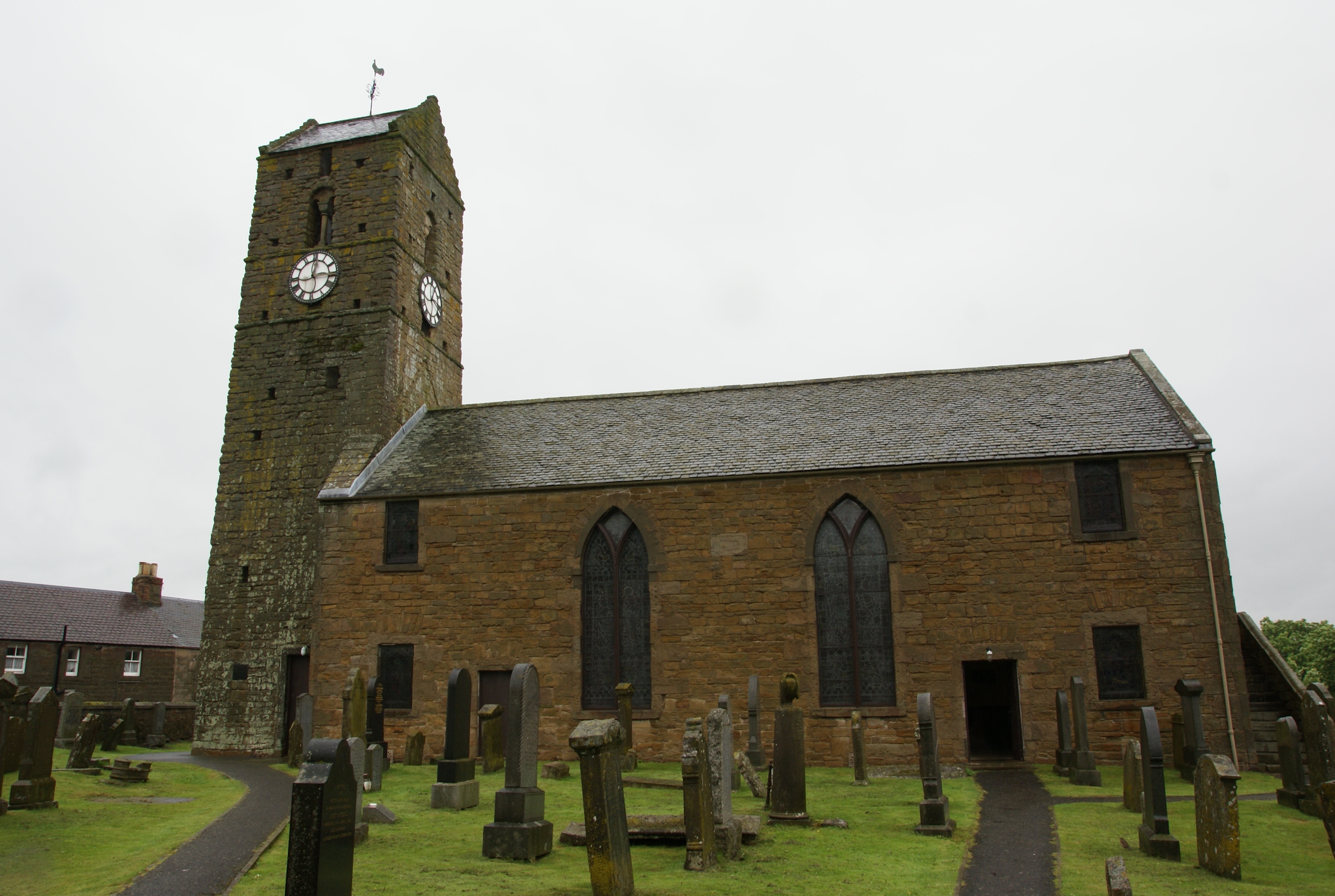
St Serf's Church, Dunning
St Serf's Church in the Scottish village of Dunning, Perth and Kinross is a Category A listed building largely dating to the early 19th century, but incorporating...
Nearby Amenities
Located within 500m of 56.30466,-3.5308789Have you been to Clevage Hill?
Leave your review of Clevage Hill below (or comments, questions and feedback).