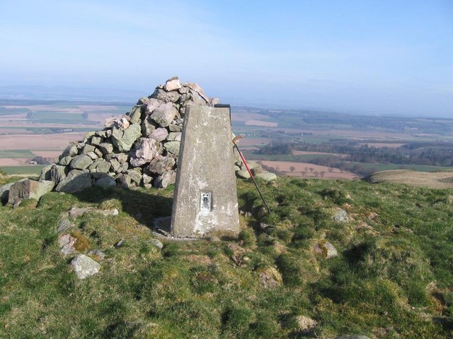
White Knowe

Hill, Mountain in Perthshire

Scotland

White Knowe

Forest track on the Invermay estate
Forest track on the Invermay estate Credit: Gordon Brown

The requested URL returned error: 429 Too Many Requests

If you have any feedback on the listing, please let us know in the comments section below.
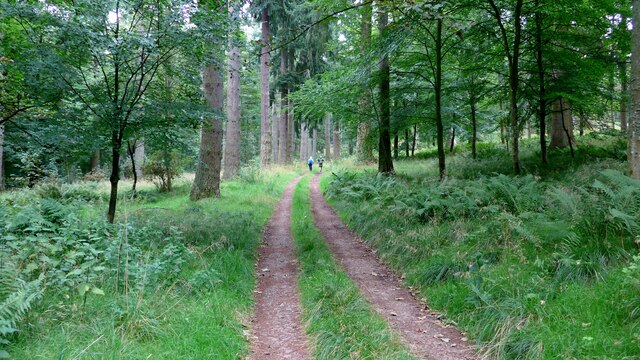
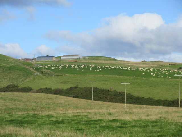
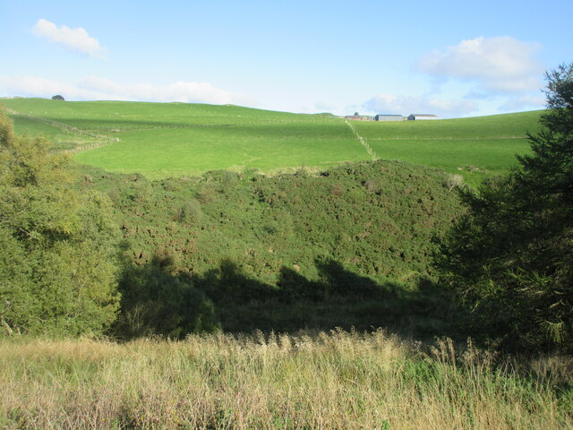
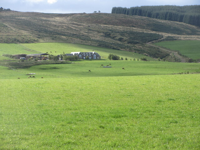
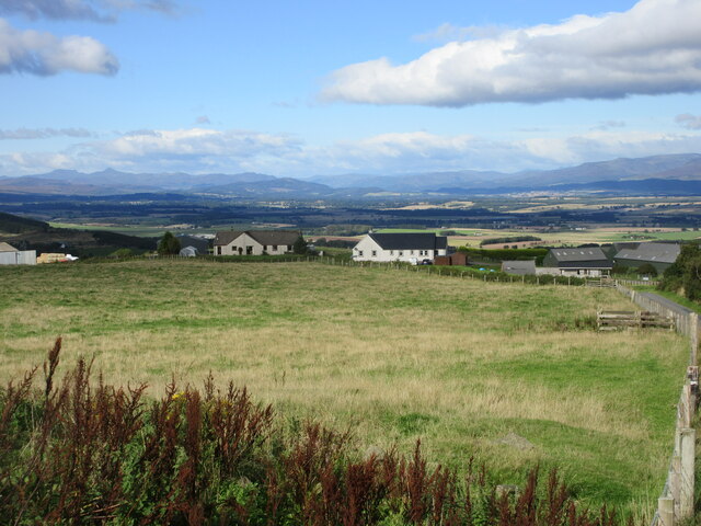
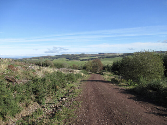
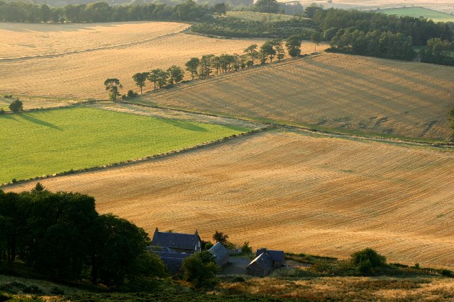
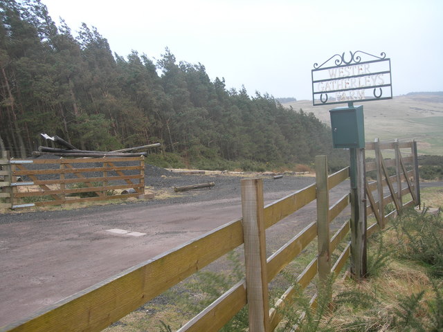
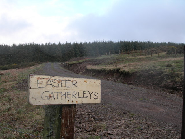
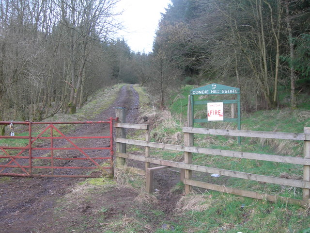
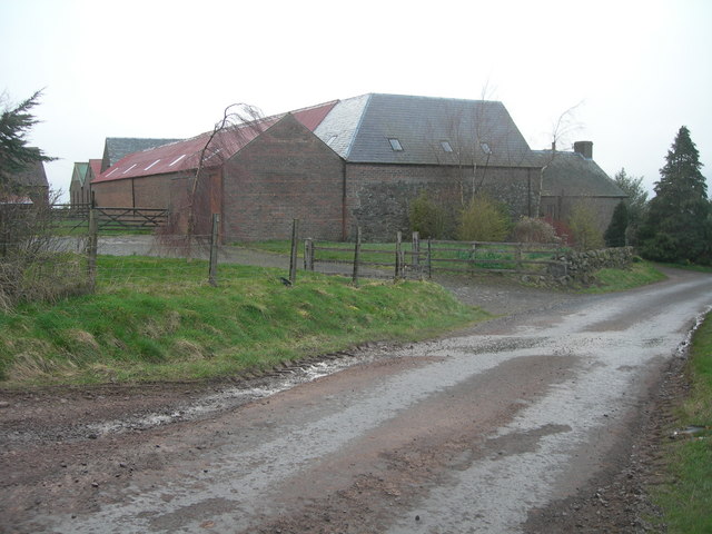
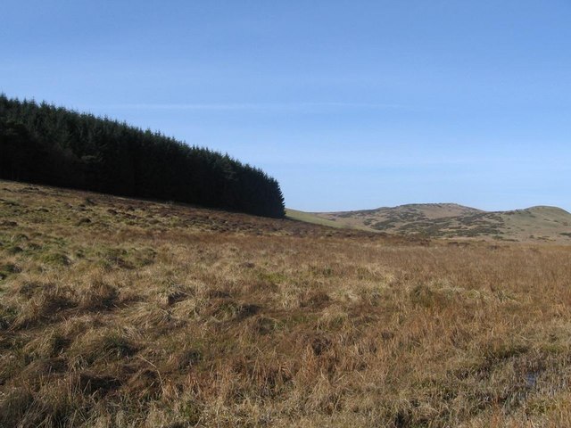
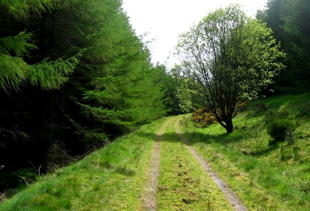
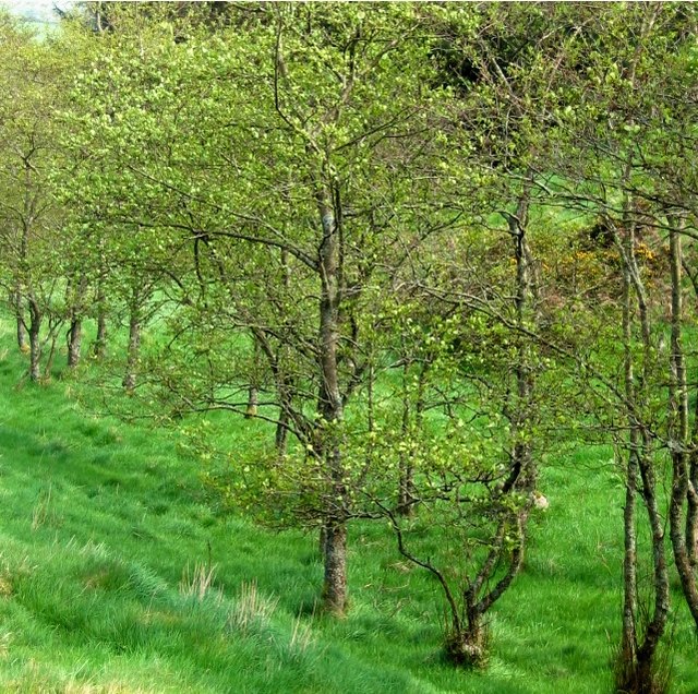
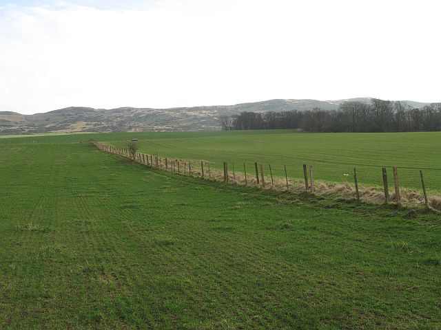
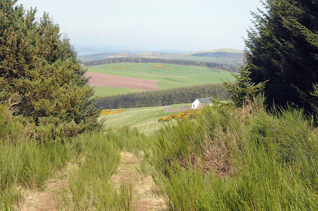
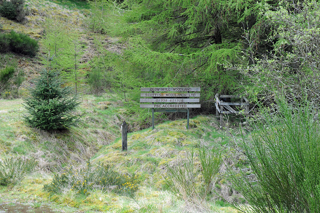
White Knowe Images

Images are sourced within 2km of 56.304678/-3.5308635 or Grid Reference NO0513. Thanks to Geograph Open Source API. All images are credited.

Forest track on the Invermay estate
Field of sheep near Montalt Hundreds of sheep in a field adjacent to Brunt Knowe, with Montalt beyond.
Field of sheep near Montalt
Hundreds of sheep in a field adjacent to Brunt Knowe, with Montalt beyond.
Hillside of gorse Gorse covered hillside on the north side of the Binzian Burn.
Hillside of gorse
Gorse covered hillside on the north side of the Binzian Burn.
Grassy fields north of Wester Gatherleys Grass fields dotted with horses to the north of Wester Gatherleys in the Ochil Hills.
Grassy fields north of Wester Gatherleys
Grass fields dotted with horses to the north of Wester Gatherleys in the Ochil Hills.
New builds at Middle Third Looking downhill from the roadside to new houses at Middle Third, with Stùc a'Chroin and Ben Vorlich on the horizon to the left.
New builds at Middle Third
Looking downhill from the roadside to new houses at Middle Third, with Stùc a'Chroin and Ben Vorlich on the horizon to the left.
Forestry track, Condie Hill Most of the forestry on the hillside to the left has been clear-felled.
Forestry track, Condie Hill
Most of the forestry on the hillside to the left has been clear-felled.
Boghall Farmhouse Boghall Farmhouse taken from Boghall Hill
Boghall Farmhouse
Boghall Farmhouse taken from Boghall Hill
Wester Gatherleys
Wester Gatherleys
Easter Gatherleys
Easter Gatherleys
Forestry track on Condie Hill Off Pathstruie - Dunning road
Forestry track on Condie Hill
Off Pathstruie - Dunning road
Middle Third
Middle Third
Trig point on the Clevage Hills.
Edge of Sillywinny Woods looking toward Clevage Hills
Condie Hill Estate Forestry track round Clow Hill.
Condie Hill Estate
Forestry track round Clow Hill.
Condie Hill Estate woodland Managed woodland amidst forestry. Patches of gorse and broom are also used to break up the dense plantation.
Condie Hill Estate woodland
Managed woodland amidst forestry. Patches of gorse and broom are also used to break up the dense plantation.
Farmland, Clevage Recently reseeded grass - you can see the drill rows, under the Ochil  Hills.
Farmland, Clevage
Recently reseeded grass - you can see the drill rows, under the Ochil Hills.
Approaching the Edge of the Forest
Clow Hill Woodland Sign
Show me another place!

White Knowe is located at Grid Ref: NO0513 (Lat: 56.304678, Lng: -3.5308635)

Unitary Authority: Perth and Kinross

Police Authority: Tayside

What 3 Words

///offerings.muddy.waiters. Near Bridge of Earn, Perth & Kinross

Related Wikis

Invermay

Invermay ( ) is a diffuse settlement in Perth and Kinross, Scotland. It is situated approximately 2 km southeast of Forteviot on the Water of May, some...

Ochil and South Perthshire (UK Parliament constituency)

Ochil and South Perthshire is a county constituency of the House of Commons of the Parliament of the United Kingdom. It elects one Member of Parliament...

Dupplin Cross

The Dupplin Cross is a carved, monumental Pictish stone, which dates from around 800 AD. It was first recorded by Thomas Pennant in 1769, on a hillside...

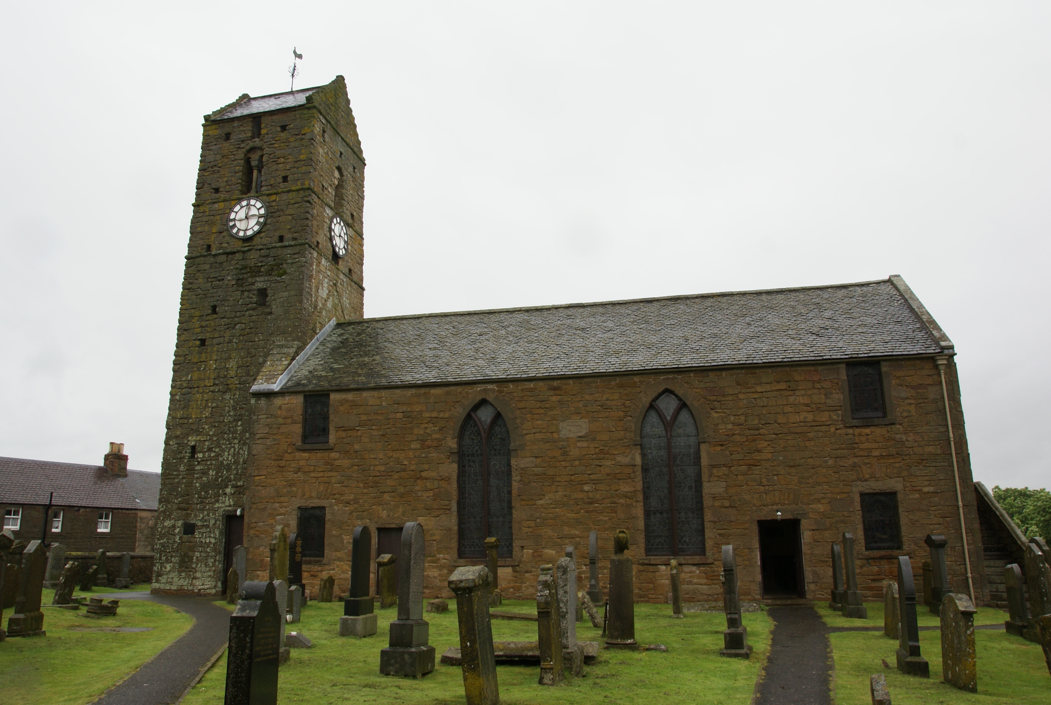
St Serf's Church, Dunning

St Serf's Church in the Scottish village of Dunning, Perth and Kinross is a Category A listed building largely dating to the early 19th century, but incorporating...

Nearby Amenities

Located within 500m of 56.304678,-3.5308635
Clevage Hills
Natural: peak
Source: NPE
Lat/Long: 56.3043091/-3.532043
Craigenroe Hill
Natural: peak
Lat/Long: 56.3071819/-3.5290988
The data included in this document is from www.openstreetmap.org. The data is made available under ODbL.

Have you been to White Knowe?

Leave your review of White Knowe below (or comments, questions and feedback).