Clevage Loch

Lake, Pool, Pond, Freshwater Marsh in Perthshire

Scotland

Clevage Loch

Field of sheep near Montalt Hundreds of sheep in a field adjacent to Brunt Knowe, with Montalt beyond.
Field of sheep near Montalt Credit: Scott Cormie

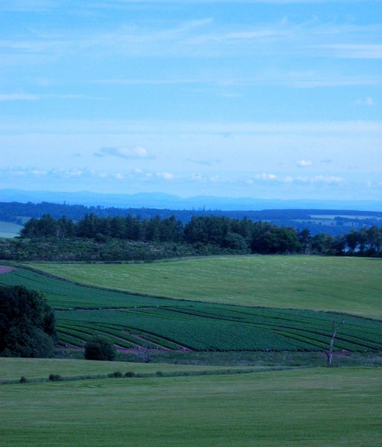
Cleavage Loch, located in Perthshire, Scotland, is a stunning freshwater lake nestled amidst the picturesque landscapes of the region. With an area of approximately 1.5 hectares, the loch is surrounded by lush greenery, rolling hills, and a diverse array of wildlife.

The water in Cleavage Loch is crystal clear and its calm surface mirrors the surrounding natural beauty, creating a tranquil and serene atmosphere. The loch is home to a variety of aquatic plants, such as water lilies, reeds, and rushes, which provide shelter and sustenance for numerous species of fish, birds, and insects.

The diverse ecosystem of Cleavage Loch attracts a wide range of bird species, including swans, geese, ducks, and herons, making it a popular spot for birdwatchers and nature enthusiasts. The loch also serves as an important breeding ground for several bird species.

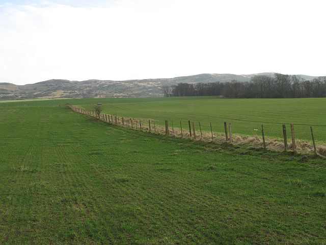
Surrounding the loch, there is a network of walking trails that allow visitors to explore the area and enjoy the stunning views from different vantage points. These trails also provide opportunities for wildlife spotting and photography.

Cleavage Loch is a designated nature reserve, managed by the local authorities, to protect its unique ecosystem and wildlife. Fishing is permitted in the loch, subject to regulations, allowing anglers to try their luck at catching trout and other freshwater fish.

Overall, Cleavage Loch offers a peaceful retreat in the heart of Perthshire, providing visitors with a chance to immerse themselves in nature and enjoy the tranquility of this beautiful freshwater marsh.

If you have any feedback on the listing, please let us know in the comments section below.
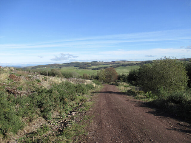
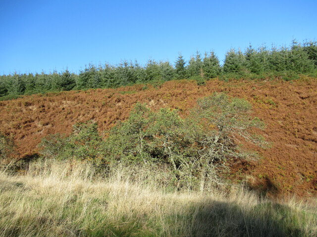
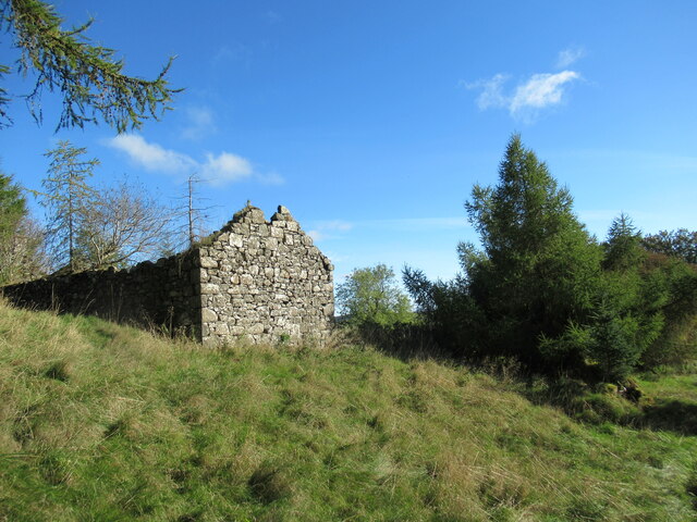
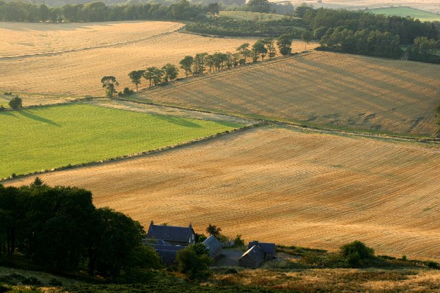
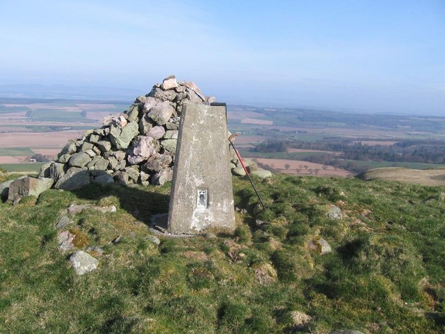
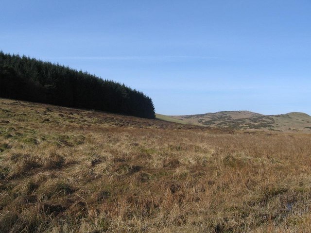
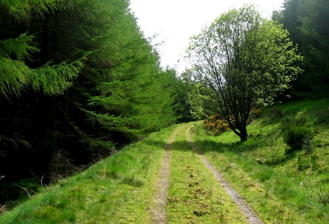
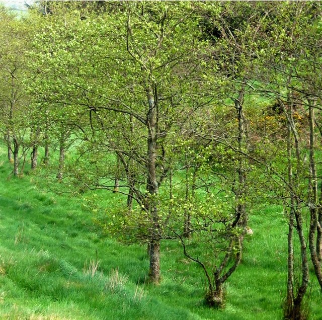
Clevage Loch Images

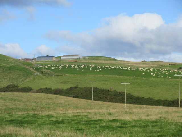
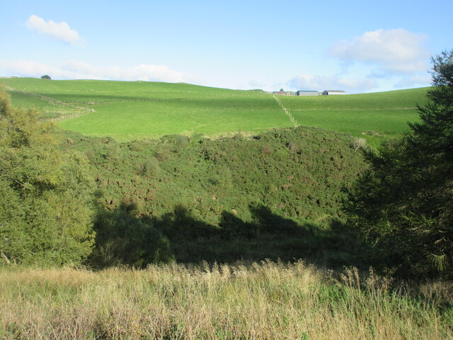
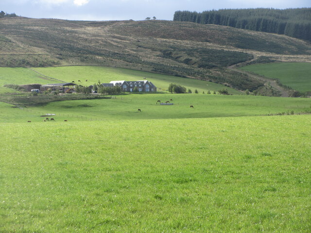
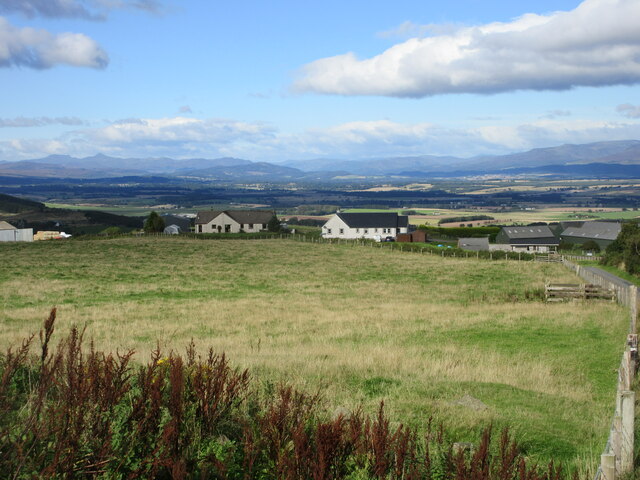
Images are sourced within 2km of 56.301533/-3.5322731 or Grid Reference NO0513. Thanks to Geograph Open Source API. All images are credited.

Field of sheep near Montalt Hundreds of sheep in a field adjacent to Brunt Knowe, with Montalt beyond.
Field of sheep near Montalt
Hundreds of sheep in a field adjacent to Brunt Knowe, with Montalt beyond.
Hillside of gorse Gorse covered hillside on the north side of the Binzian Burn.
Hillside of gorse
Gorse covered hillside on the north side of the Binzian Burn.
Grassy fields north of Wester Gatherleys Grass fields dotted with horses to the north of Wester Gatherleys in the Ochil Hills.
Grassy fields north of Wester Gatherleys
Grass fields dotted with horses to the north of Wester Gatherleys in the Ochil Hills.
New builds at Middle Third Looking downhill from the roadside to new houses at Middle Third, with Stùc a'Chroin and Ben Vorlich on the horizon to the left.
New builds at Middle Third
Looking downhill from the roadside to new houses at Middle Third, with Stùc a'Chroin and Ben Vorlich on the horizon to the left.
Forestry track, Condie Hill Most of the forestry on the hillside to the left has been clear-felled.
Forestry track, Condie Hill
Most of the forestry on the hillside to the left has been clear-felled.
Trees and dead bracken on Clow Hill The commercial forestry at the top of the hill here has so far survived the felling that is taking place nearby on Condie Hill.
Trees and dead bracken on Clow Hill
The commercial forestry at the top of the hill here has so far survived the felling that is taking place nearby on Condie Hill.
Ruins at Easter Clow One of several ruined buildings amidst forestry plantations in the vicinity of Clow Hill.
Ruins at Easter Clow
One of several ruined buildings amidst forestry plantations in the vicinity of Clow Hill.
Boghall Farmhouse Boghall Farmhouse taken from Boghall Hill
Boghall Farmhouse
Boghall Farmhouse taken from Boghall Hill
Wester Gatherleys
Wester Gatherleys
Easter Gatherleys
Easter Gatherleys
Forestry track on Condie Hill Off Pathstruie - Dunning road
Forestry track on Condie Hill
Off Pathstruie - Dunning road
Middle Third
Middle Third
Trig point on the Clevage Hills.
Edge of Sillywinny Woods looking toward Clevage Hills
Condie Hill Estate Forestry track round Clow Hill.
Condie Hill Estate
Forestry track round Clow Hill.
Condie Hill Estate woodland Managed woodland amidst forestry. Patches of gorse and broom are also used to break up the dense plantation.
Condie Hill Estate woodland
Managed woodland amidst forestry. Patches of gorse and broom are also used to break up the dense plantation.
Farmland near Dunning From the track to Boghall, looking north
Farmland near Dunning
From the track to Boghall, looking north
Farmland, Clevage Recently reseeded grass - you can see the drill rows, under the Ochil  Hills.
Farmland, Clevage
Recently reseeded grass - you can see the drill rows, under the Ochil Hills.
Show me another place!

Clevage Loch is located at Grid Ref: NO0513 (Lat: 56.301533, Lng: -3.5322731)

Unitary Authority: Perth and Kinross

Police Authority: Tayside

What 3 Words

///toenail.glides.valued. Near Bridge of Earn, Perth & Kinross

Related Wikis

Ochil and South Perthshire (UK Parliament constituency)

Ochil and South Perthshire is a county constituency of the House of Commons of the Parliament of the United Kingdom. It elects one Member of Parliament...

Invermay

Invermay ( ) is a diffuse settlement in Perth and Kinross, Scotland. It is situated approximately 2 km southeast of Forteviot on the Water of May, some...

Dupplin Cross

The Dupplin Cross is a carved, monumental Pictish stone, which dates from around 800 AD. It was first recorded by Thomas Pennant in 1769, on a hillside...

St Serf's Church, Dunning

St Serf's Church in the Scottish village of Dunning, Perth and Kinross is a Category A listed building largely dating to the early 19th century, but incorporating...

Nearby Amenities

Located within 500m of 56.301533,-3.5322731
Clevage Hills
Natural: peak
Source: NPE
Lat/Long: 56.3043091/-3.532043
Montalt Hill
Natural: peak
Lat/Long: 56.2996344/-3.5280044
The data included in this document is from www.openstreetmap.org. The data is made available under ODbL.

Have you been to Clevage Loch?

Leave your review of Clevage Loch below (or comments, questions and feedback).