Pentwyn Reservoir
Lake, Pool, Pond, Freshwater Marsh in Brecknockshire
Wales
Pentwyn Reservoir
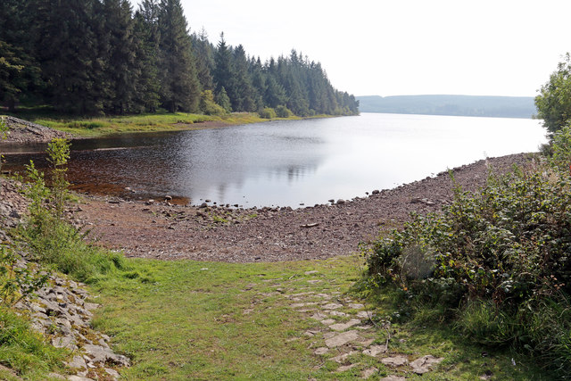
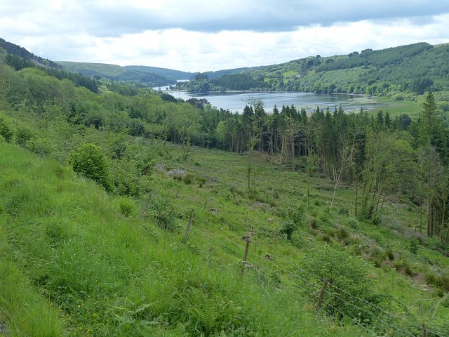
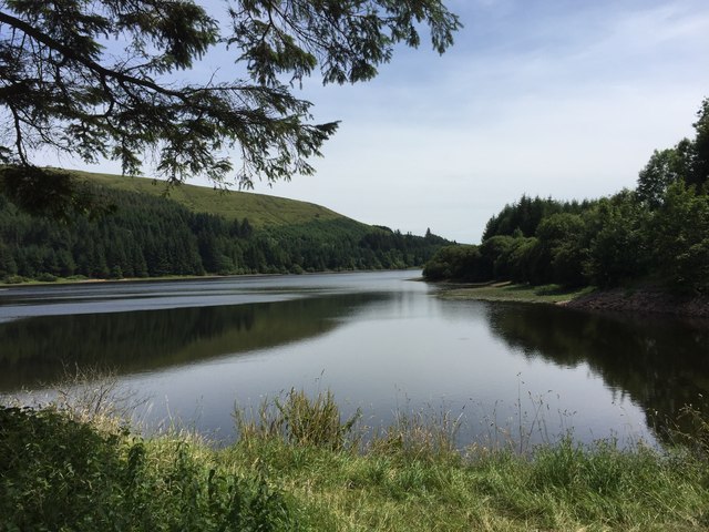
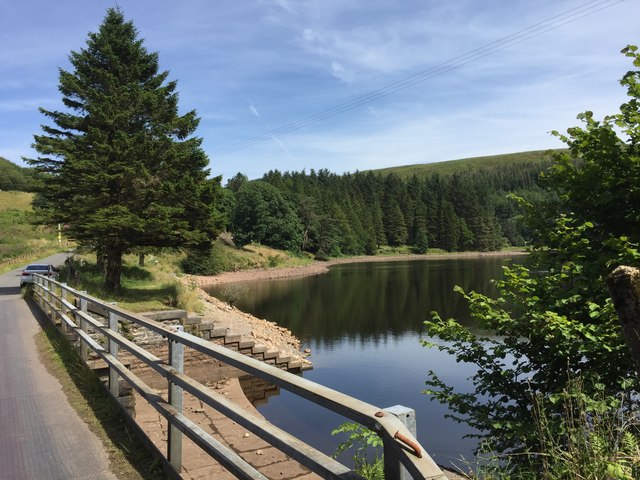
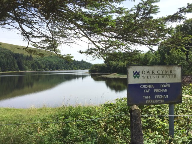
Pentwyn Reservoir, located in Brecknockshire, is a picturesque freshwater body known for its natural beauty and tranquil surroundings. Spanning over a vast area, it serves as a vital water source for the local community while also providing recreational opportunities for visitors.
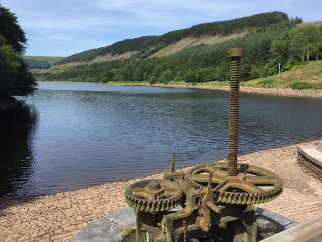
The reservoir, often referred to as a lake, is man-made and was constructed in the early 20th century. Its primary purpose is to supply drinking water to nearby towns and villages. With its strategic location in the Brecon Beacons National Park, the reservoir also serves as a popular tourist attraction.
Surrounded by lush greenery, the reservoir boasts a diverse ecosystem, making it an ideal habitat for various flora and fauna. The water is home to a variety of fish species, such as trout and perch, attracting anglers from all around. The surrounding areas feature an array of plant life, including reeds and water lilies, creating a vibrant and serene environment.
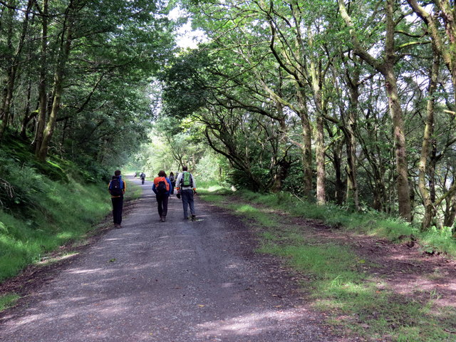
Pentwyn Reservoir offers numerous recreational activities for visitors to enjoy. Fishing is a popular pastime, with anglers often seen casting their lines from the banks. The calm waters are also perfect for boating and kayaking, allowing visitors to explore the reservoir's nooks and crannies.
Nature enthusiasts will appreciate the freshwater marshes found around the reservoir, which provide a haven for waterfowl and other wetland creatures. Birdwatchers can spot a variety of species, such as herons, kingfishers, and ducks.
Overall, Pentwyn Reservoir is a stunning freshwater body that not only fulfills its practical purpose of providing water but also offers a peaceful retreat for both locals and tourists to enjoy nature's beauty.
If you have any feedback on the listing, please let us know in the comments section below.
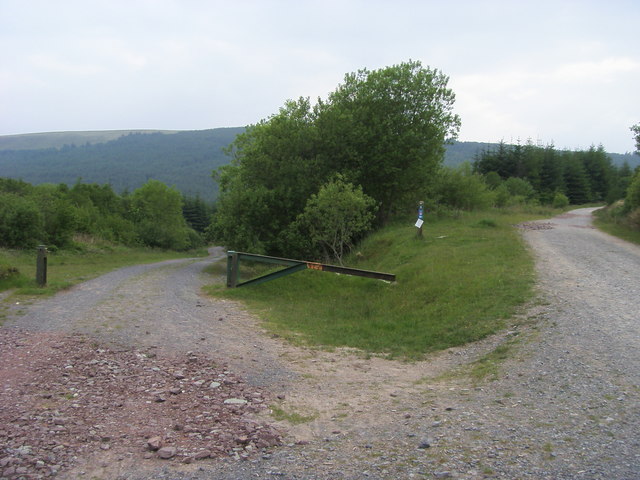
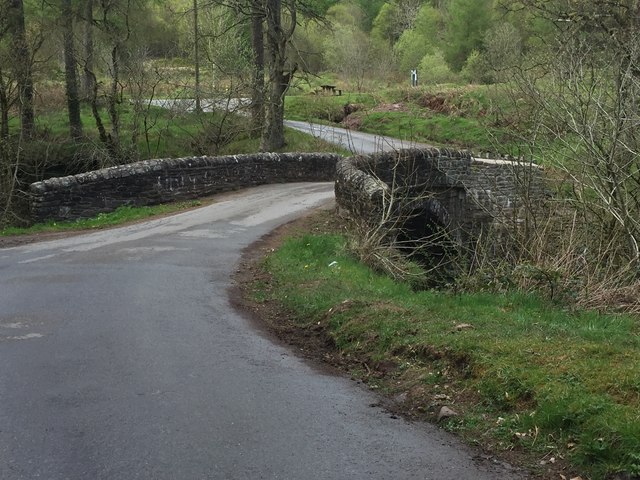
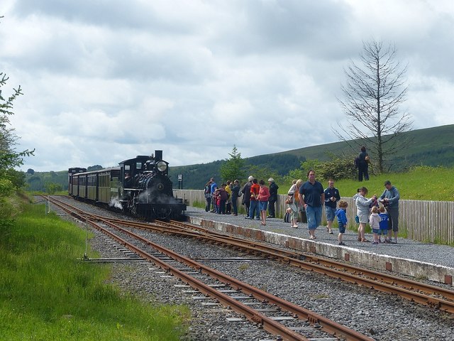
Pentwyn Reservoir Images
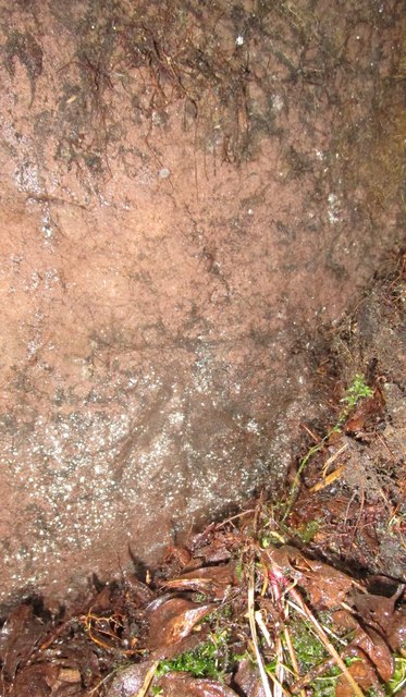
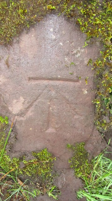
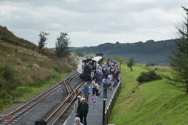
Images are sourced within 2km of 51.826658/-3.3765884 or Grid Reference SO0515. Thanks to Geograph Open Source API. All images are credited.
Pentwyn Reservoir is located at Grid Ref: SO0515 (Lat: 51.826658, Lng: -3.3765884)
Unitary Authority: Powys
Police Authority: Dyfed Powys
What 3 Words
///fluffed.noise.rises. Near Merthyr Tydfil
Nearby Locations
Related Wikis

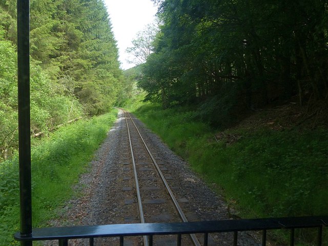
Dolygaer railway station
Dolygaer railway station (alternatively, Dol-y-gaer railway station) was a station serving the hamlet of Dol-y-gaer and the area adjacent to Pen-twyn Reservoir...

Pontsticill Reservoir
Pontsticill Reservoir (Welsh: Cronfa Pontsticill) or Taf Fechan Reservoir is a large reservoir on the Taf Fechan lying partly in the county of Powys and...

Mid Glamorgan
Mid Glamorgan (Welsh: Morgannwg Ganol) is a preserved county of Wales. From 1974 until 1996 it was also an administrative county with a county council...

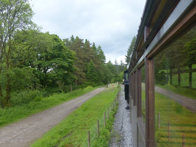
Torpantau railway station
Torpantau railway station is a station in the Welsh county of Brecknockshire (now in Powys), and the northern terminus of the narrow gauge Brecon Mountain...
Nearby Amenities
Located within 500m of 51.826658,-3.3765884Have you been to Pentwyn Reservoir?
Leave your review of Pentwyn Reservoir below (or comments, questions and feedback).