Cwm Sychnant
Valley in Brecknockshire
Wales
Cwm Sychnant
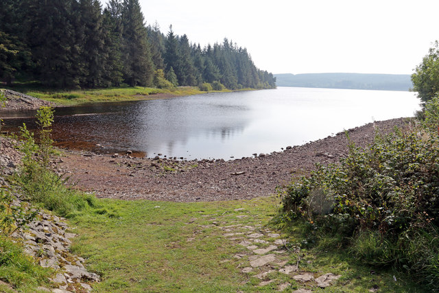
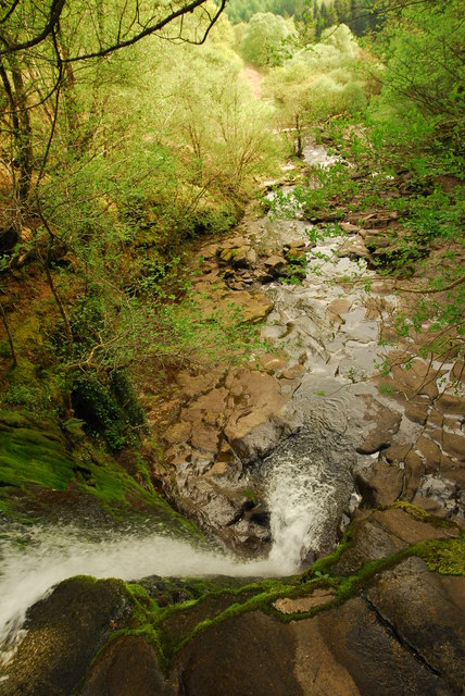
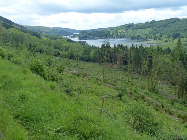
Cwm Sychnant is a stunning valley located in the county of Brecknockshire, Wales. Nestled within the breathtaking Brecon Beacons National Park, this valley offers a peaceful and idyllic escape from the hustle and bustle of modern life.
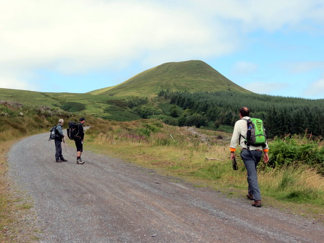
The name "Cwm Sychnant" translates to "Valley of the Dry Stream" in English, and it is named after the small stream that runs through it. The valley is surrounded by rolling hills and towering mountains, creating a dramatic and picturesque landscape.
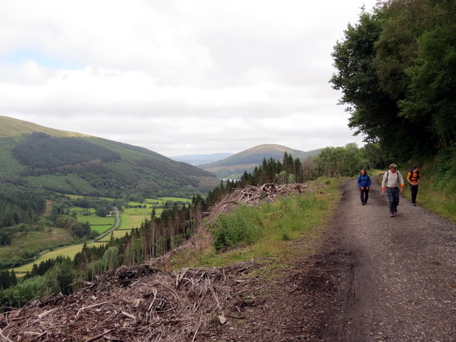
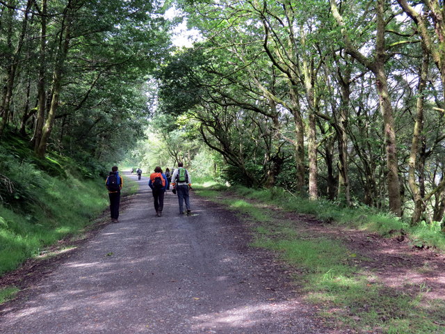
The area is known for its rich biodiversity and natural beauty. Lush green meadows, ancient woodlands, and crystal-clear streams are abundant in Cwm Sychnant, creating a haven for a wide variety of flora and fauna. It is a popular destination for nature enthusiasts, hikers, and photographers who flock to capture the breathtaking scenery.
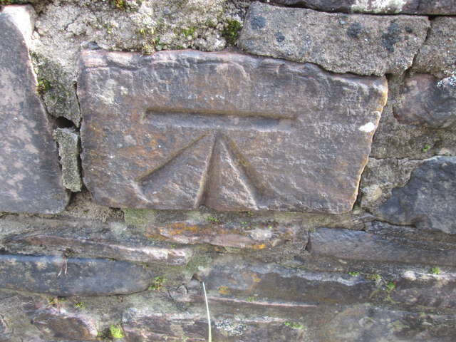
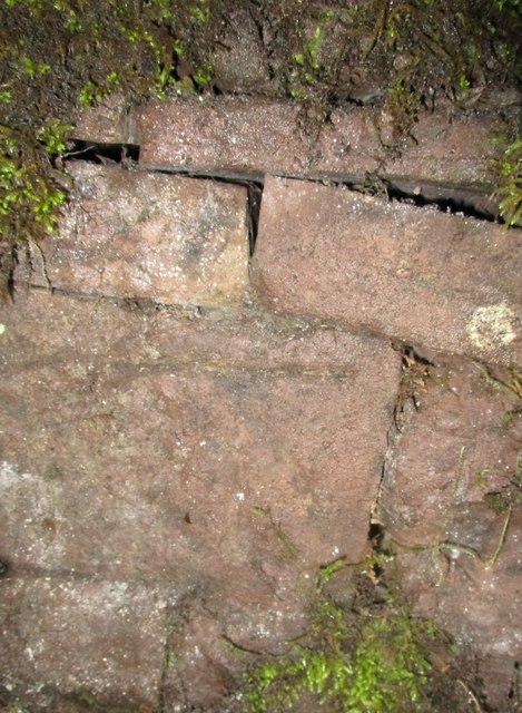
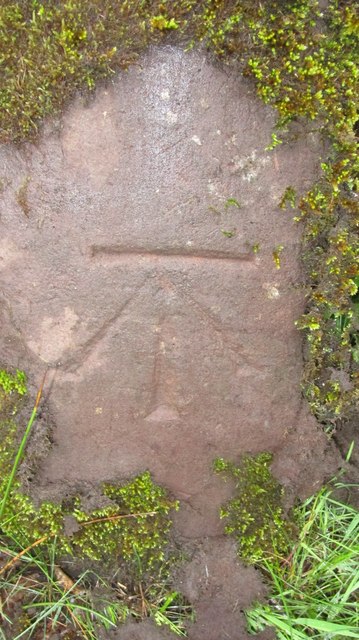
The valley also boasts a rich history, with evidence of human settlement dating back thousands of years. There are several ancient ruins and archaeological sites scattered throughout the area, providing a glimpse into the past. Visitors can explore these historical landmarks and learn about the valley's fascinating heritage.
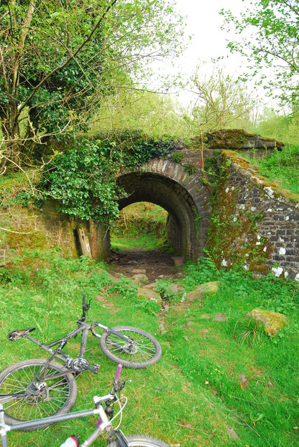
Cwm Sychnant offers a range of outdoor activities, including hiking, cycling, and wildlife spotting. There are numerous well-marked trails that cater to different fitness levels, allowing visitors to explore the valley at their own pace. The valley is also home to a variety of wildlife, including red kites, otters, and rare plant species.
Overall, Cwm Sychnant is a hidden gem within the beautiful Brecon Beacons National Park, offering visitors a chance to connect with nature and immerse themselves in its stunning surroundings.
If you have any feedback on the listing, please let us know in the comments section below.
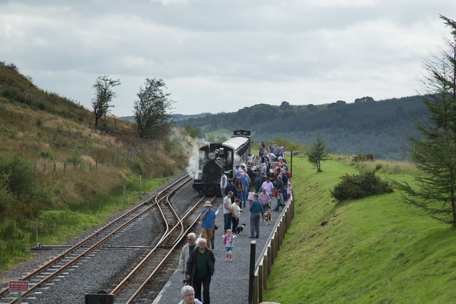
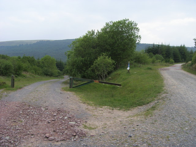
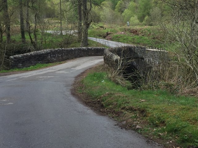
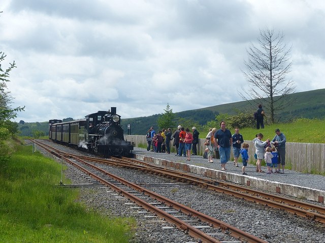
Cwm Sychnant Images
Images are sourced within 2km of 51.829544/-3.3704797 or Grid Reference SO0515. Thanks to Geograph Open Source API. All images are credited.
Cwm Sychnant is located at Grid Ref: SO0515 (Lat: 51.829544, Lng: -3.3704797)
Unitary Authority: Powys
Police Authority: Dyfed Powys
What 3 Words
///polices.shadowing.spectacle. Near Merthyr Tydfil
Nearby Locations
Related Wikis

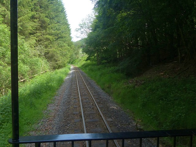
Dolygaer railway station
Dolygaer railway station (alternatively, Dol-y-gaer railway station) was a station serving the hamlet of Dol-y-gaer and the area adjacent to Pen-twyn Reservoir...

Torpantau railway station
Torpantau railway station is a station in the Welsh county of Brecknockshire (now in Powys), and the northern terminus of the narrow gauge Brecon Mountain...

Mid Glamorgan
Mid Glamorgan (Welsh: Morgannwg Ganol) is a preserved county of Wales. From 1974 until 1996 it was also an administrative county with a county council...

Pontsticill Reservoir
Pontsticill Reservoir (Welsh: Cronfa Pontsticill) or Taf Fechan Reservoir is a large reservoir on the Taf Fechan lying partly in the county of Powys and...
Have you been to Cwm Sychnant?
Leave your review of Cwm Sychnant below (or comments, questions and feedback).