Cwm Llwyd-mawr
Valley in Montgomeryshire
Wales
Cwm Llwyd-mawr

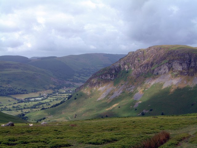
Cwm Llwyd-mawr is a picturesque valley located in Montgomeryshire, Wales. Nestled amidst the rolling hills and lush greenery, this valley is a true haven for nature lovers and outdoor enthusiasts. With its serene ambience and breathtaking scenery, it offers a tranquil escape from the hustle and bustle of city life.
The valley is characterized by its steep slopes and deep gorges, adding to its dramatic beauty. It is dotted with numerous streams and waterfalls, their soothing sounds contributing to the overall sense of tranquility. The landscape is dominated by dense forests and meadows, providing a diverse habitat for a wide range of flora and fauna.
Cwm Llwyd-mawr is a popular destination for hiking and walking enthusiasts, who can explore the various trails that crisscross the valley. These trails offer stunning views of the surrounding countryside and allow visitors to discover hidden gems such as ancient ruins and historical landmarks.
The valley is also home to a rich cultural heritage, with several traditional Welsh villages scattered throughout. These villages showcase the traditional architecture and way of life, providing visitors with an insight into the local culture. Additionally, the area hosts various festivals and events throughout the year, celebrating Welsh traditions and customs.
Overall, Cwm Llwyd-mawr is a truly enchanting valley that captivates visitors with its natural beauty and cultural significance. It is a place where one can escape the pressures of modern life and immerse themselves in the tranquility of nature.
If you have any feedback on the listing, please let us know in the comments section below.
Cwm Llwyd-mawr Images
Images are sourced within 2km of 52.856161/-3.4043288 or Grid Reference SJ0529. Thanks to Geograph Open Source API. All images are credited.


Cwm Llwyd-mawr is located at Grid Ref: SJ0529 (Lat: 52.856161, Lng: -3.4043288)
Unitary Authority: Powys
Police Authority: Dyfed Powys
What 3 Words
///damp.mealtime.bring. Near Llangynog, Powys
Nearby Locations
Related Wikis
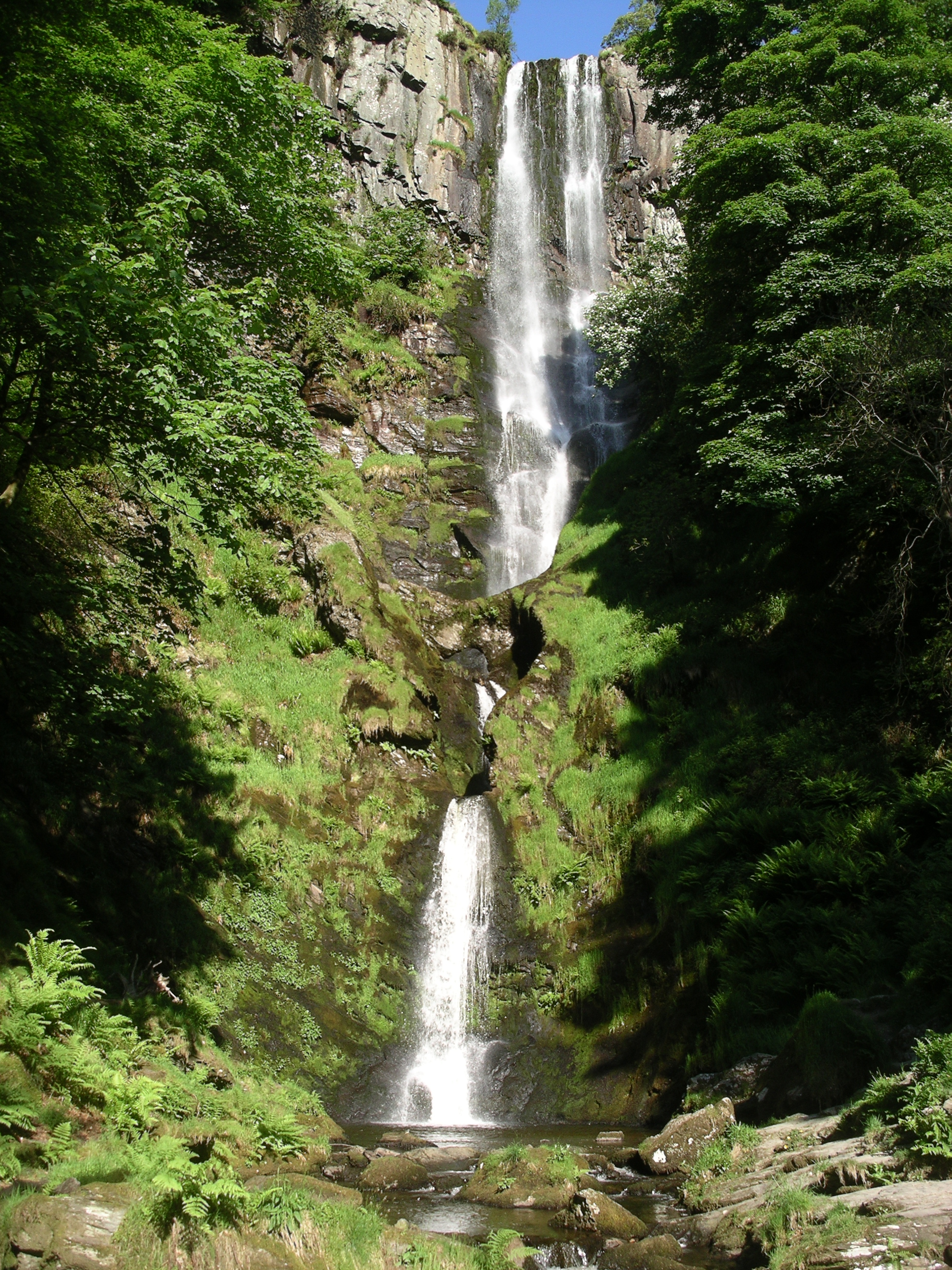
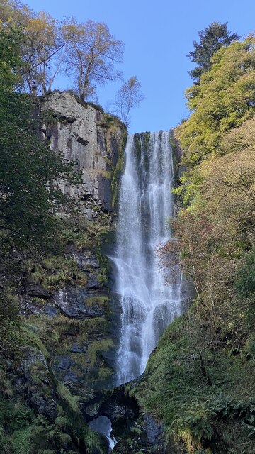
Pistyll Rhaeadr
Pistyll Rhaeadr (Welsh pronunciation: [pɪstɪɬ r̥aeadr], meaning "spring of the waterfall") is a waterfall 4 miles (6 kilometres) from the village of Llanrhaeadr...
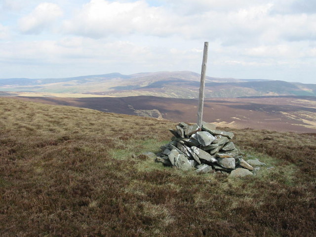
Cyrniau Nod
Cyrniau Nod is a mountain summit in north east Wales. It is a former Marilyn, the Marilyn summit now being the nearby Foel Cedig. Its summit has the Snowdonia...
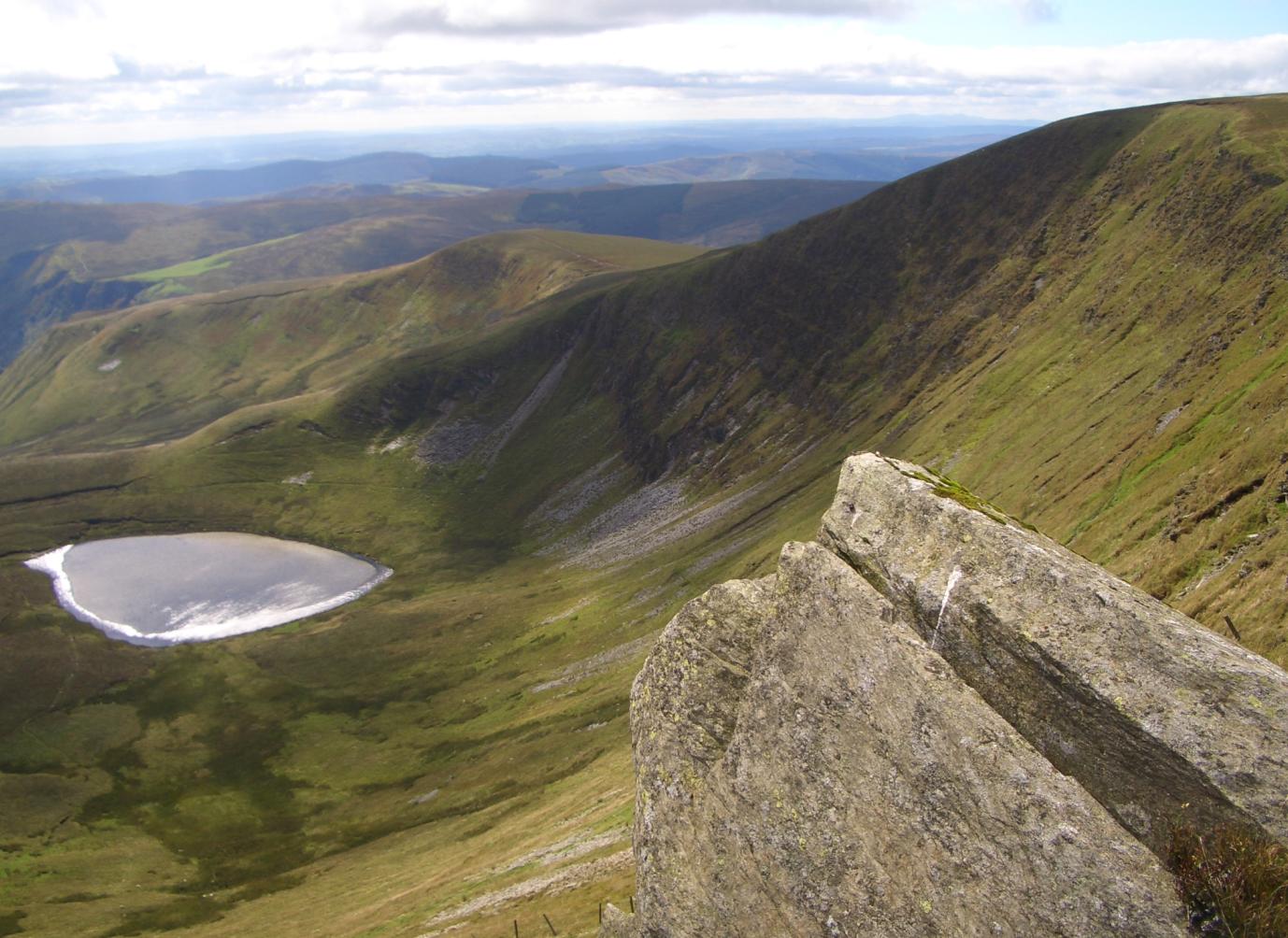
Moel Sych
Moel Sych (pronounced [mɔi̯l sɨːχ]) with a height of 826.7 metres (2,712 ft) is a subsidiary summit of Cadair Berwyn in north east Wales. It is the third...
Craig Rhiwarth
Craig Rhiwarth is a mountain in the Berwyn range, in Powys (formerly Montgomeryshire), Wales, overlooking the village of Llangynog to the south. On the...
Have you been to Cwm Llwyd-mawr?
Leave your review of Cwm Llwyd-mawr below (or comments, questions and feedback).