Sheepcot Hill
Hill, Mountain in Dumfriesshire
Scotland
Sheepcot Hill
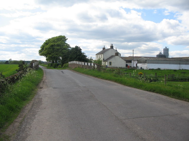
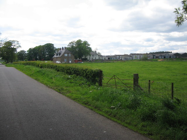
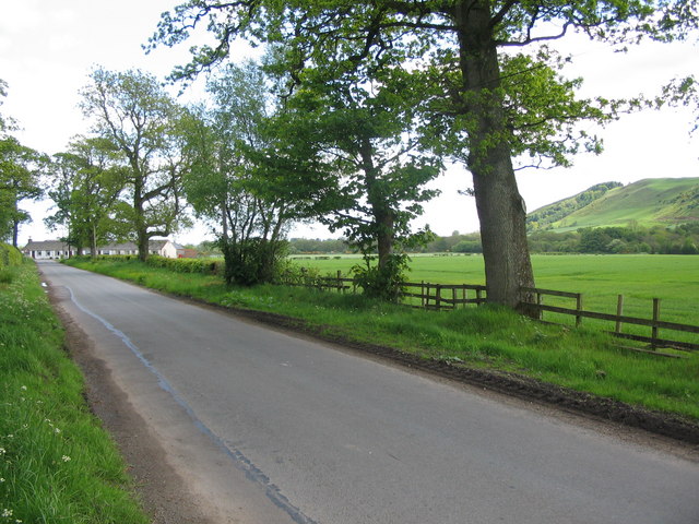
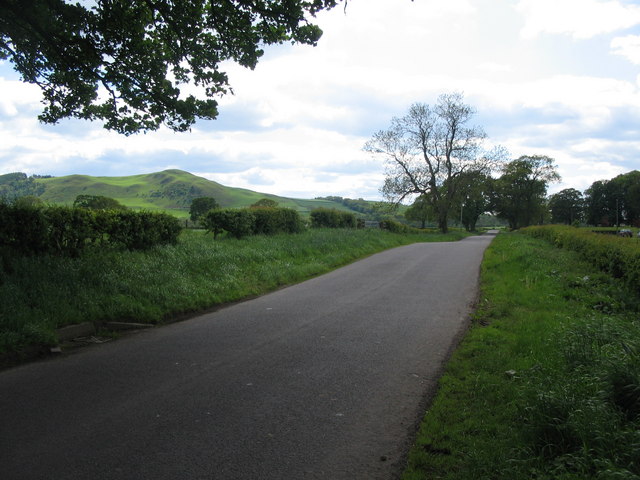
Sheepcot Hill is a prominent hill located in Dumfriesshire, Scotland. With an elevation of approximately 369 meters (1,211 feet), it is classified as a hill rather than a mountain. The hill is situated in the southern part of Dumfriesshire, near the village of Moniaive.
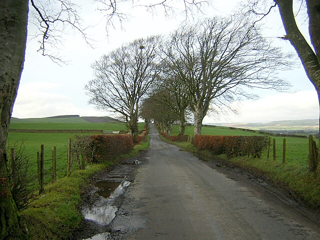
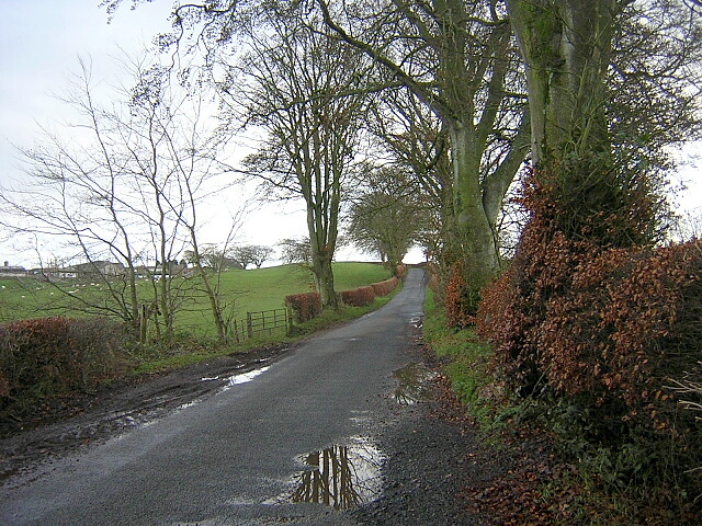
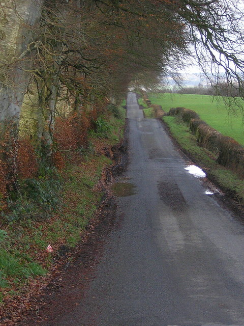
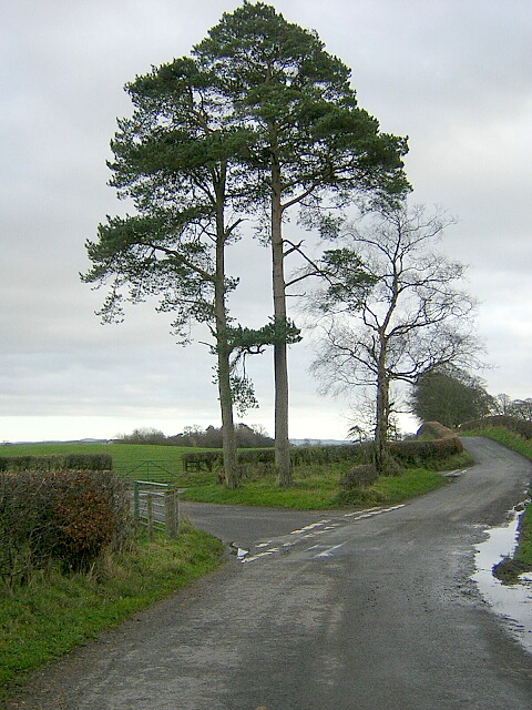
Sheepcot Hill offers stunning panoramic views of the surrounding countryside. From its summit, visitors can enjoy vistas of rolling green hills, picturesque farmland, and distant peaks. On clear days, the views extend as far as the Solway Firth and the English Lake District.
The hill is a popular destination for outdoor enthusiasts, particularly hikers and nature lovers. There are several well-marked trails that lead to the summit, making it accessible for people of varying fitness levels. The ascent is not overly challenging, but it does require some effort. Along the way, walkers are likely to encounter a variety of flora and fauna, including heather, gorse, and grazing sheep.
Sheepcot Hill also holds historical significance. In the past, it was used as a landmark for travelers and as a meeting point for local communities. The hill has also been the subject of local folklore and legends, adding to its allure.
Overall, Sheepcot Hill provides an excellent opportunity to connect with nature and enjoy the beauty of the Dumfriesshire landscape. Whether it be for a leisurely stroll or a more strenuous hike, visitors are sure to be rewarded with breathtaking views and a sense of tranquility on this remarkable hill.
If you have any feedback on the listing, please let us know in the comments section below.
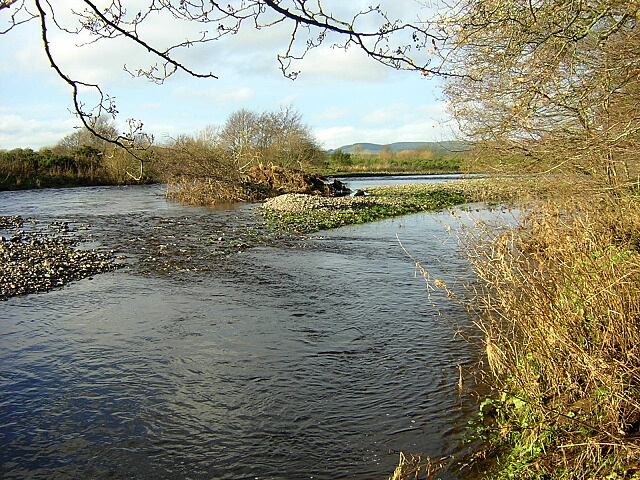
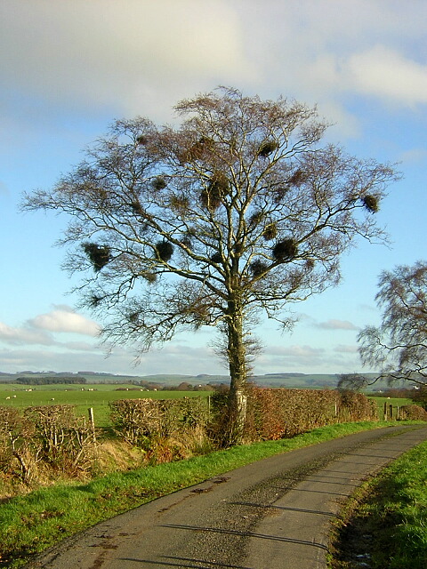
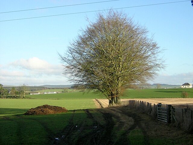
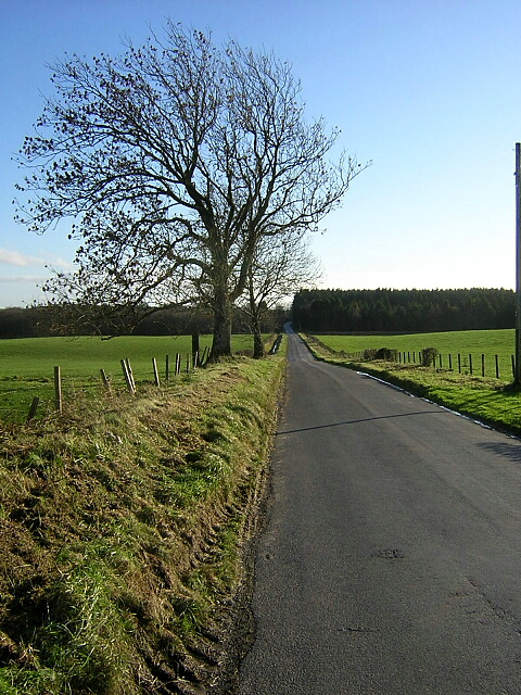
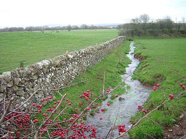
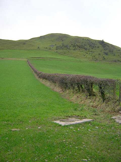
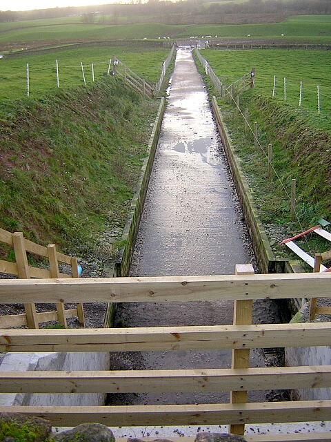
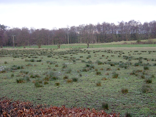
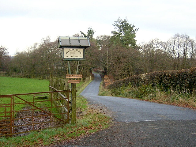
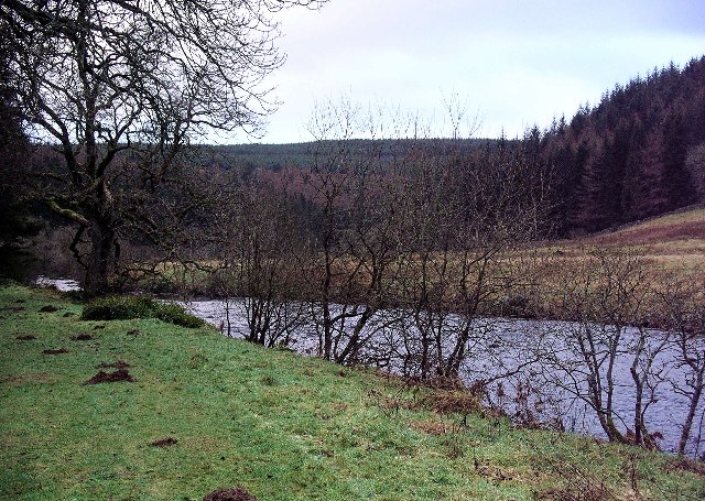
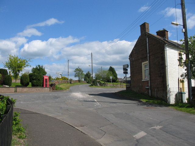
Sheepcot Hill Images
Images are sourced within 2km of 55.148896/-3.4862995 or Grid Reference NY0584. Thanks to Geograph Open Source API. All images are credited.

Sheepcot Hill is located at Grid Ref: NY0584 (Lat: 55.148896, Lng: -3.4862995)
Unitary Authority: Dumfries and Galloway
Police Authority: Dumfries and Galloway
What 3 Words
///snack.upwardly.typically. Near Lochmaben, Dumfries & Galloway
Nearby Locations
Related Wikis

Dumfriesshire
Dumfriesshire or the County of Dumfries or Shire of Dumfries (Scottish Gaelic: Siorrachd Dhùn Phris) is a historic county and registration county in southern...

Shieldhill railway station
Shieldhill railway station was a station which served Shieldhill, in the Scottish county of Dumfries and Galloway. It was served by trains on a local line...
Water of Ae
The Water of Ae is a tributary of the River Annan into which it flows west of Lockerbie in Dumfries and Galloway administrative county of South West Scotland...

Lochmaben Hospital
Lochmaben Hospital is a health facility in Woodlands Drive, Lochmaben, Dumfries and Galloway, Scotland. It is managed by NHS Dumfries and Galloway. �...

Lochmaben railway station
Lochmaben railway station was a station which served Lochmaben, in the Scottish county of Dumfries and Galloway. It was served by trains on a local line...
Templand
Templand is a village in Dumfriesshire, Scotland, located around 4.5 miles (7.2 km) northwest of Lockerbie. Templand was built during the Industrial Revolution...
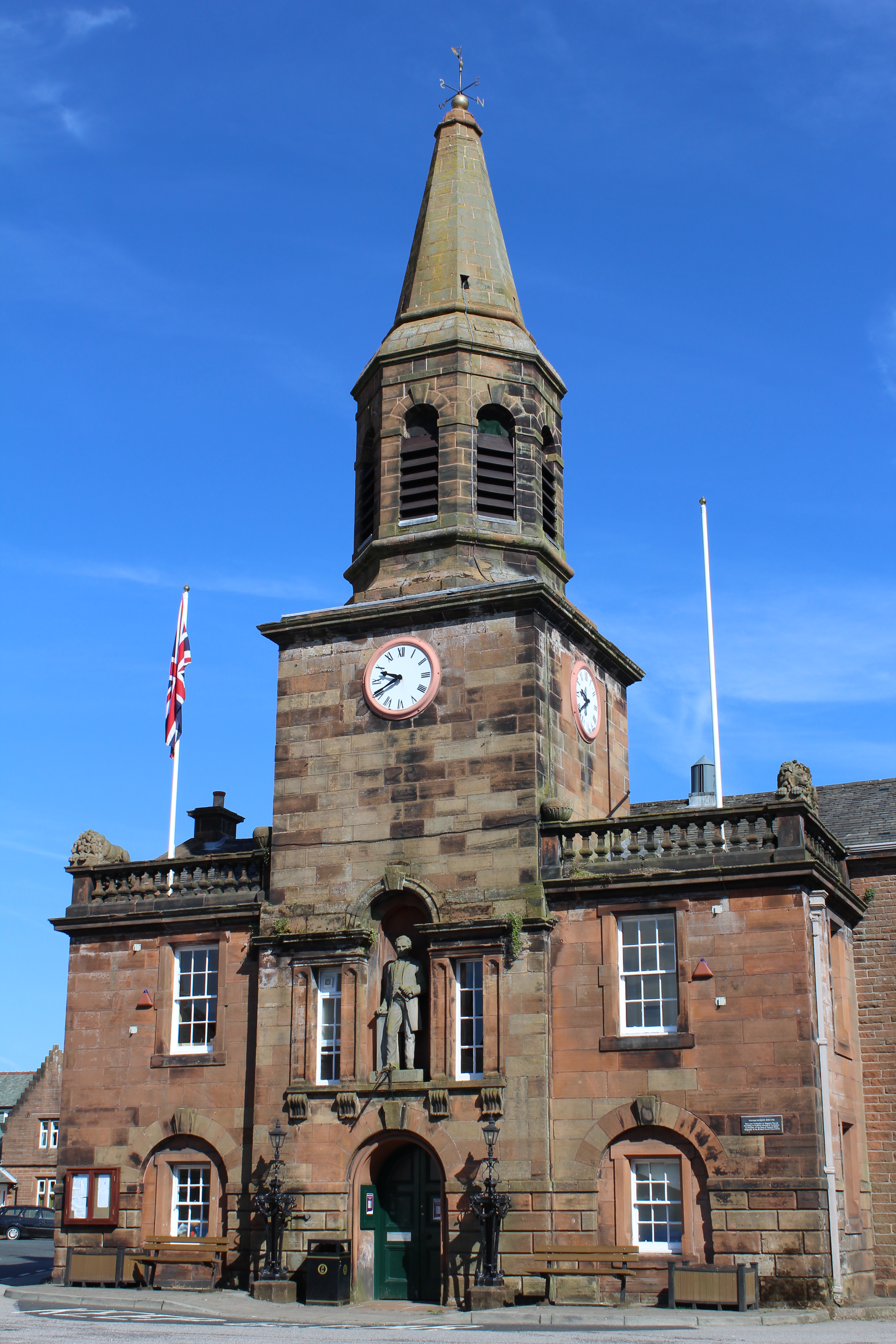
Lochmaben Town Hall
Lochmaben Town Hall is a municipal building in the High Street in Lochmaben, Dumfries and Galloway, Scotland. The structure, which accommodates a library...
Lochmaben
Lochmaben (Gaelic: Loch Mhabain) is a small town and civil parish in Scotland, and site of a castle. It lies 4 miles (6 km) west of Lockerbie, in Dumfries...
Nearby Amenities
Located within 500m of 55.148896,-3.4862995Have you been to Sheepcot Hill?
Leave your review of Sheepcot Hill below (or comments, questions and feedback).