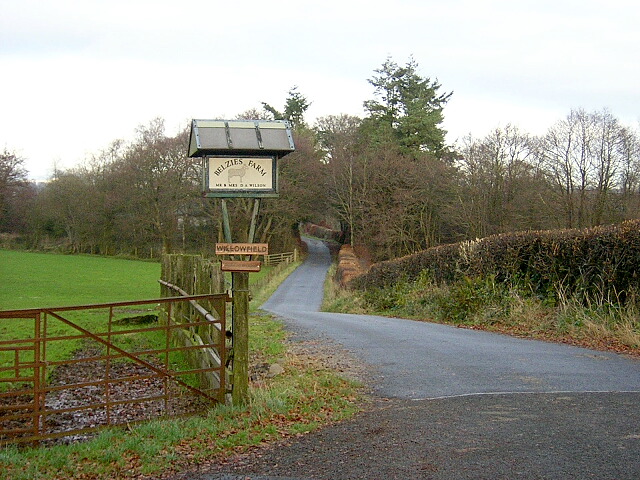
Belzies Plantation
Wood, Forest in Dumfriesshire
Scotland
Belzies Plantation
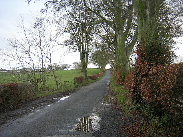
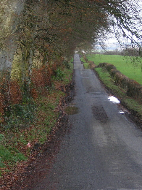
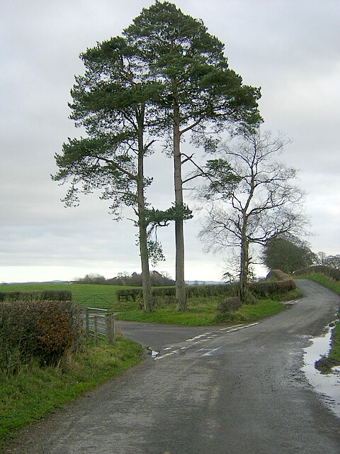
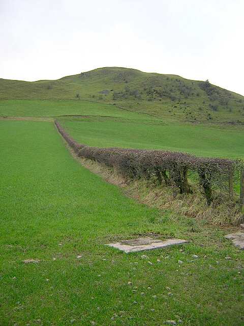
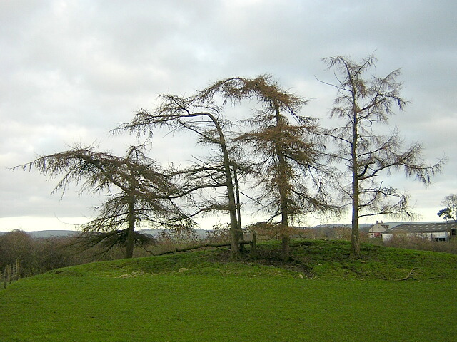
Belzies Plantation is a picturesque woodland area located in Dumfriesshire, Scotland. Situated near the village of Moffat, it covers an area of approximately 500 acres, making it a significant natural attraction in the region.
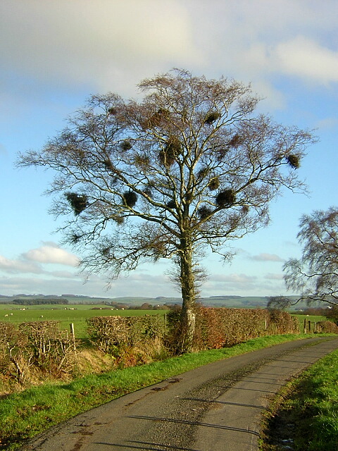
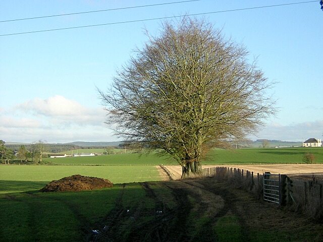
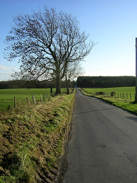
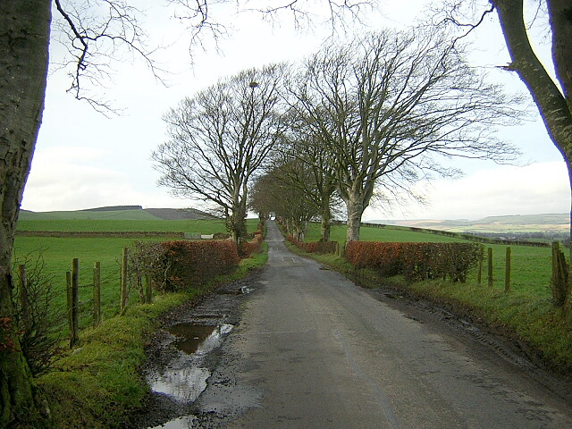
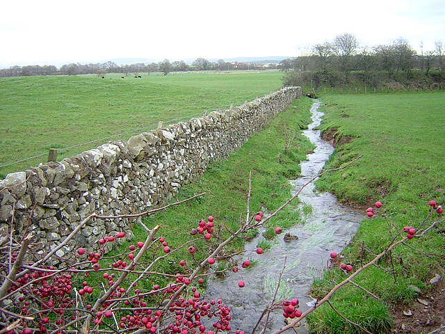
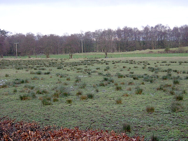
The plantation is renowned for its diverse range of trees, including native species such as oak, birch, and pine. These trees create a lush and vibrant environment, providing a habitat for numerous species of birds, insects, and small mammals. The woodland floor is also adorned with a variety of wildflowers and ferns, adding to the overall beauty of the area.
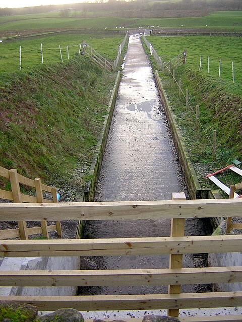
Belzies Plantation offers visitors a tranquil and peaceful setting, perfect for nature enthusiasts and those seeking a serene escape. Several walking trails wind their way through the plantation, allowing visitors to explore and immerse themselves in the natural surroundings. These trails vary in difficulty, catering to both leisurely strolls and more challenging hikes.
The plantation is managed by the local forestry commission, ensuring the preservation and sustainability of the woodland. The commission also organizes educational programs and events for visitors, offering insights into the rich history and ecological importance of the area.
Belzies Plantation is a true haven for nature lovers, providing a sanctuary where one can appreciate the beauty and tranquility of the Scottish woodlands. Whether it be a leisurely walk, a picnic, or simply taking in the sights and sounds of nature, this woodland is a must-visit destination for anyone looking to connect with the natural world.
If you have any feedback on the listing, please let us know in the comments section below.
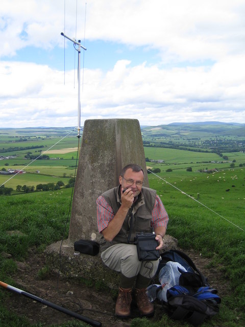
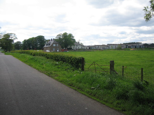
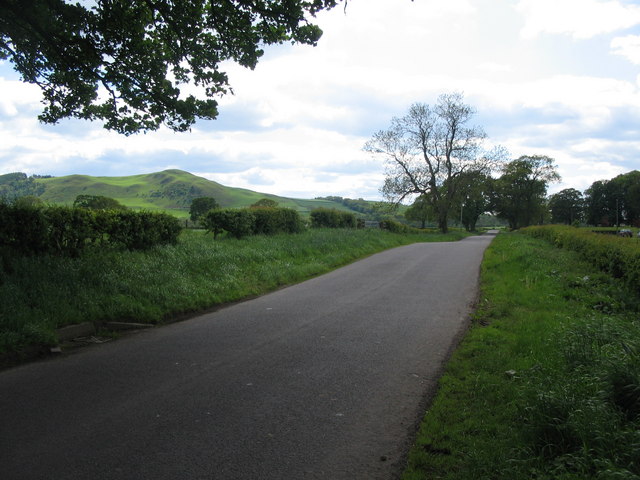
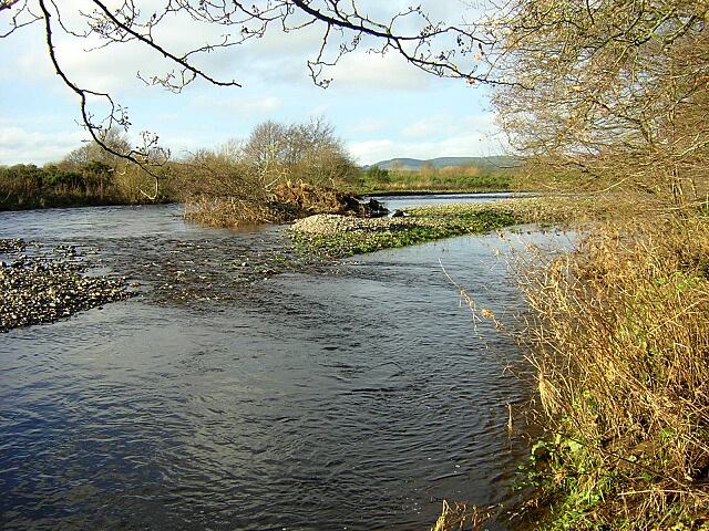
Belzies Plantation Images
Images are sourced within 2km of 55.143564/-3.4851128 or Grid Reference NY0584. Thanks to Geograph Open Source API. All images are credited.
Belzies Plantation is located at Grid Ref: NY0584 (Lat: 55.143564, Lng: -3.4851128)
Unitary Authority: Dumfries and Galloway
Police Authority: Dumfries and Galloway
What 3 Words
///fuse.knowledge.handed. Near Lochmaben, Dumfries & Galloway
Nearby Locations
Related Wikis
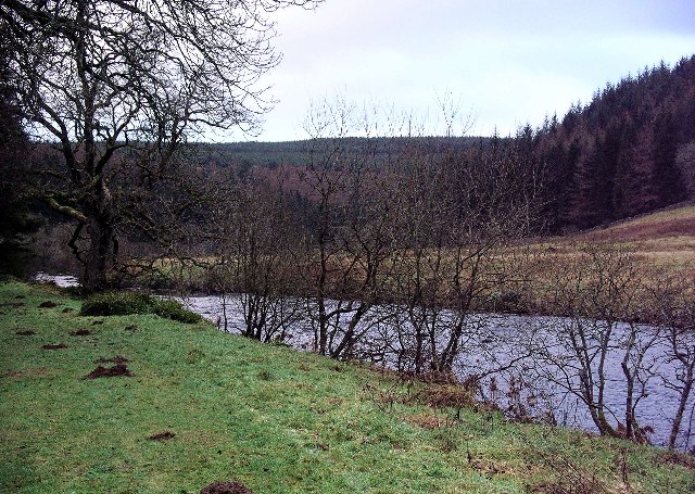
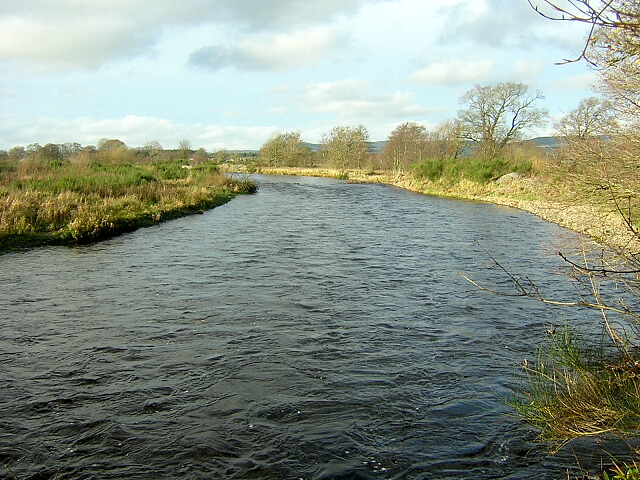
Water of Ae
The Water of Ae is a tributary of the River Annan into which it flows west of Lockerbie in Dumfries and Galloway administrative county of South West Scotland...

Shieldhill railway station
Shieldhill railway station was a station which served Shieldhill, in the Scottish county of Dumfries and Galloway. It was served by trains on a local line...

Lochmaben Hospital
Lochmaben Hospital is a health facility in Woodlands Drive, Lochmaben, Dumfries and Galloway, Scotland. It is managed by NHS Dumfries and Galloway. �...

Dumfriesshire
Dumfriesshire or the County of Dumfries or Shire of Dumfries (Scottish Gaelic: Siorrachd Dhùn Phris) is a historic county and registration county in southern...

Lochmaben railway station
Lochmaben railway station was a station which served Lochmaben, in the Scottish county of Dumfries and Galloway. It was served by trains on a local line...
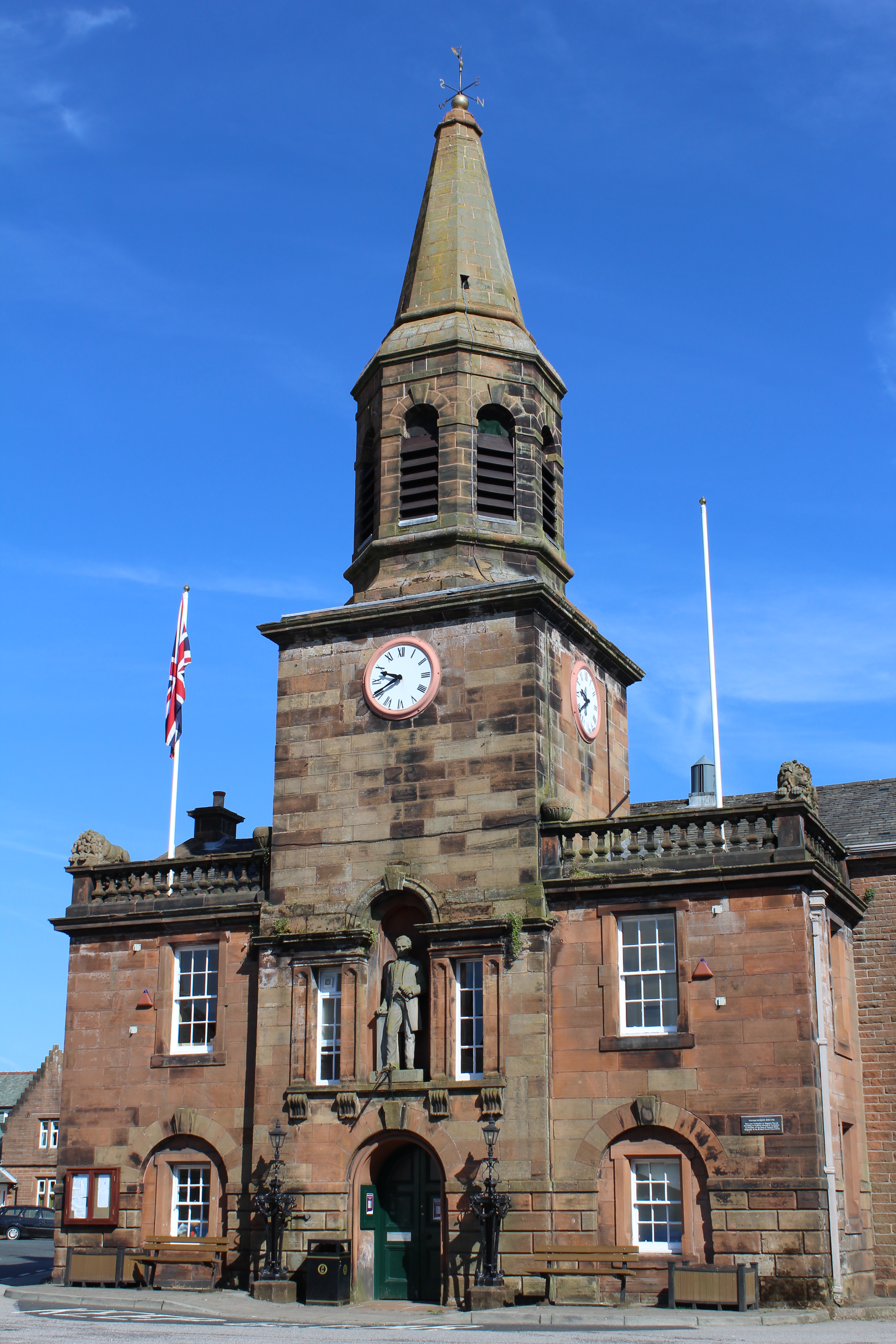
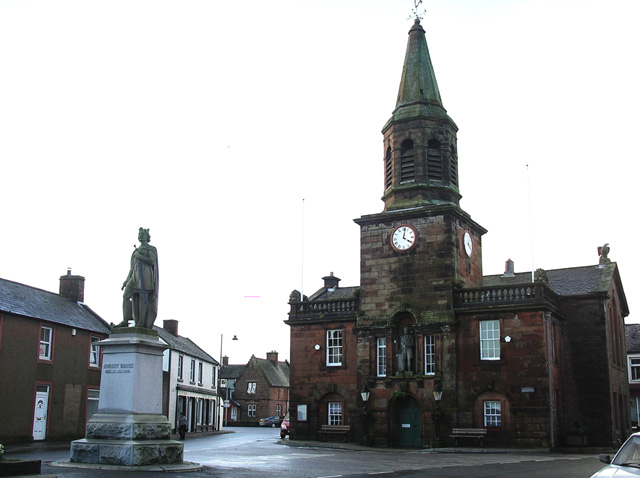
Lochmaben Town Hall
Lochmaben Town Hall is a municipal building in the High Street in Lochmaben, Dumfries and Galloway, Scotland. The structure, which accommodates a library...
Lochmaben
Lochmaben (Gaelic: Loch Mhabain) is a small town and civil parish in Scotland, and site of a castle. It lies 4 miles (6 km) west of Lockerbie, in Dumfries...
Battle of Lochmaben Fair
The Battle of Lochmaben Fair was an engagement in Lochmaben, Scotland, on 22 July 1484 between Scottish loyalists to James III of Scotland and the rebels...
Nearby Amenities
Located within 500m of 55.143564,-3.4851128Have you been to Belzies Plantation?
Leave your review of Belzies Plantation below (or comments, questions and feedback).