Craigend Wood

Wood, Forest in Perthshire

Scotland

Craigend Wood

Bridge carrying the B935 over the Water of May
Bridge carrying the B935 over the Water of May Credit: Gordon Brown

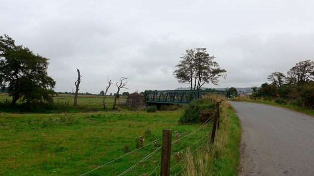
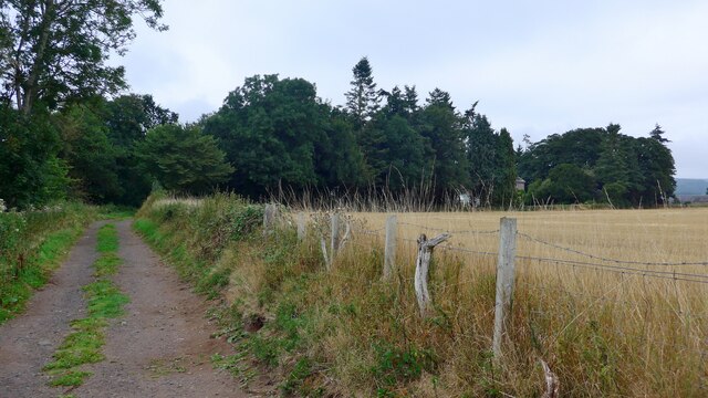
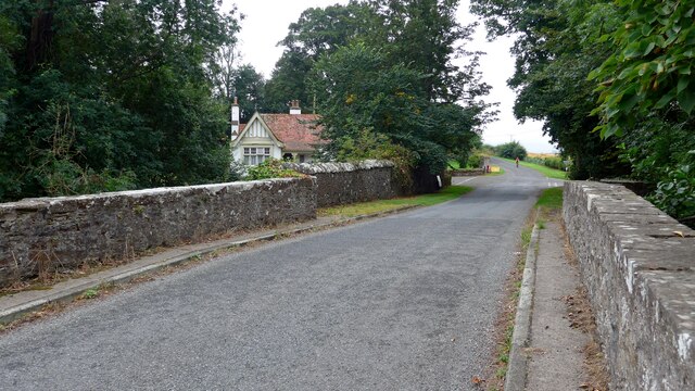
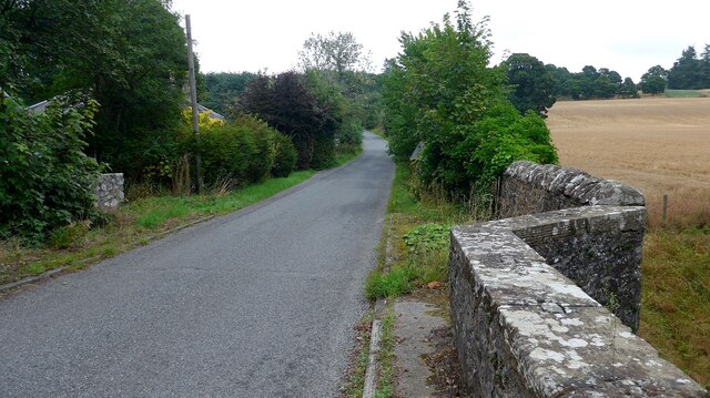
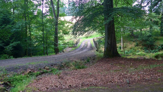
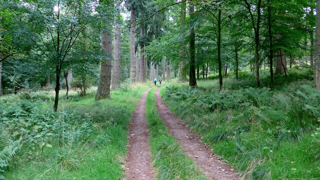
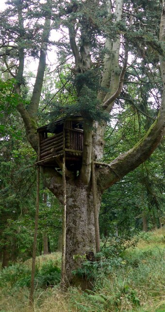
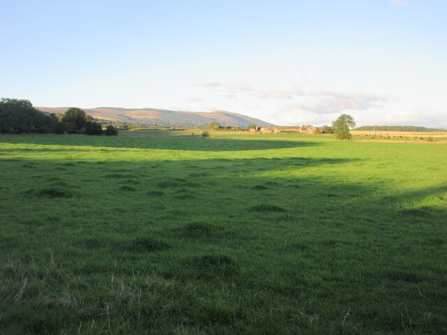
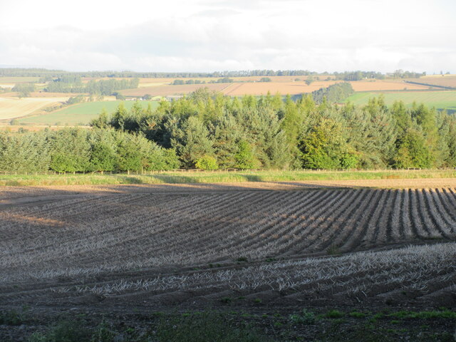
Craigend Wood is a picturesque forest located in the county of Perthshire, Scotland. Covering an area of approximately 200 hectares, it is a popular destination for nature enthusiasts, hikers, and those seeking a peaceful retreat.

The wood is characterized by a diverse range of tree species, including oak, birch, beech, and Scots pine, which create a rich and vibrant landscape throughout the seasons. The forest floor is adorned with a variety of flora, such as bluebells, wild garlic, and ferns, adding to its natural beauty.

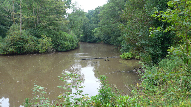
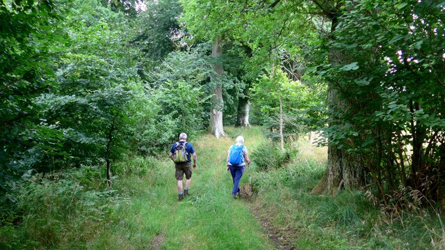
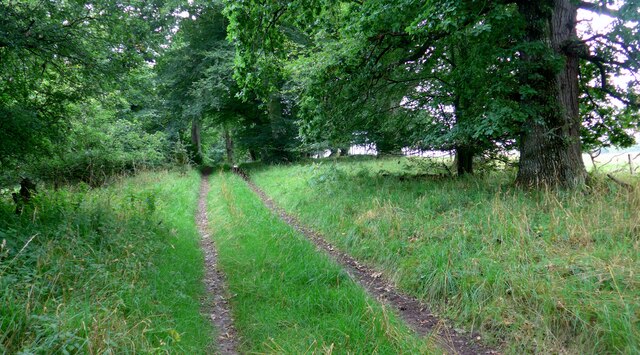
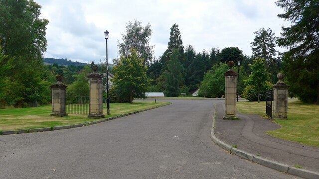
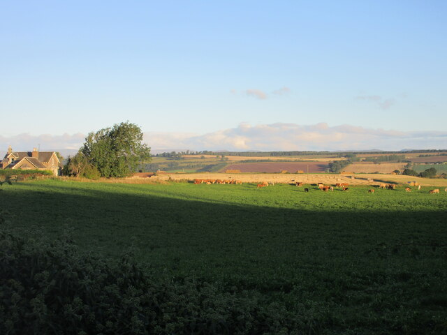
Trails and paths crisscross the wood, providing visitors with ample opportunities for exploration and discovery. The paths are well-maintained and suitable for walkers of all abilities, offering stunning views of the surrounding countryside and the River Tay in the distance.

Craigend Wood is also home to a diverse array of wildlife. Birdwatchers can spot a range of species, including woodpeckers, red kites, and tawny owls, while lucky visitors may even catch sight of red squirrels or roe deer.

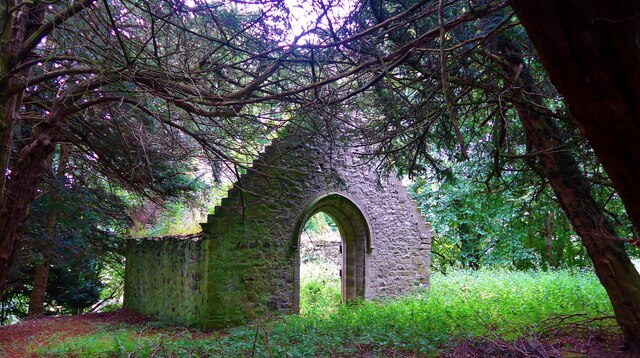
The wood has a rich history, with evidence of ancient settlements and structures dating back thousands of years. An Iron Age hill fort, known as Moncreiffe Hill, can be found within the wood, adding a touch of archaeological interest to the area.

Overall, Craigend Wood offers a tranquil and scenic escape from the hustle and bustle of everyday life, providing visitors with a chance to immerse themselves in the beauty of nature while enjoying a range of recreational activities.

If you have any feedback on the listing, please let us know in the comments section below.

Craigend Wood Images

Images are sourced within 2km of 56.329821/-3.5299616 or Grid Reference NO0516. Thanks to Geograph Open Source API. All images are credited.

Bridge carrying the B935 over the Water of May
The track leading south from Forteviot kirk The barley in the field to the right is very close to being ready for harvest.
The track leading south from Forteviot kirk
The barley in the field to the right is very close to being ready for harvest.
A minor road crosses the Water of May at North Lodge
Bridge over the Water of May at Green of Invermay
Estate bridge over the Water of May The OS mapping is a little confused here:  this is the downstream (westward) of the two bridges and is the one in use.  The upstream (eastward) bridge is unsafe and fenced off.  All the OS mappings imply the opposite.
Estate bridge over the Water of May
The OS mapping is a little confused here: this is the downstream (westward) of the two bridges and is the one in use. The upstream (eastward) bridge is unsafe and fenced off. All the OS mappings imply the opposite.
Unidentified machine by the Water of May What can this be for?  There is a power take-off drive to the left.  A machine for burying underground pipes?

Later addition - this is a log-splitter!  Thanks to information from the ever-helpful members of Geograph.
Unidentified machine by the Water of May
What can this be for? There is a power take-off drive to the left. A machine for burying underground pipes? Later addition - this is a log-splitter! Thanks to information from the ever-helpful members of Geograph.
Lower Pond on the Invermay Estate
The magnificent mansion at Hill of Invermay
Forest track on the Invermay estate
Impressive treehouse on the Invermay estate There is no obvious means of ascent to this treehouse.  It's not clear whether this is intended for children or for a shooting platform.
Impressive treehouse on the Invermay estate
There is no obvious means of ascent to this treehouse. It's not clear whether this is intended for children or for a shooting platform.
Walkers in the Birks of Invermay
Approaching the ruined Muckersie Chapel on the Invermay estate
Muckersie Chapel This ruin is sited on a bluff overlooking the Water of May.  It was used for worship until about 1638 when it fell into disuse.  It was refurbished in the mid 19th century to provide a mausoleum for the Belsches who had acquired the estate in 1717.
Muckersie Chapel
This ruin is sited on a bluff overlooking the Water of May. It was used for worship until about 1638 when it fell into disuse. It was refurbished in the mid 19th century to provide a mausoleum for the Belsches who had acquired the estate in 1717.
Entrance to the Ardargie housing estate
Greylag House, Forteviot The fine former manse for the adjacent kirk.
Greylag House, Forteviot
The fine former manse for the adjacent kirk.
Cattle at Bogtonlea Cattle in a field just east of Bogtonlea.
Cattle at Bogtonlea
Cattle in a field just east of Bogtonlea.
Grass pastureland Grassy pastureland with Bogtonlea in the distance and Craig Rossie on the horizon.
Grass pastureland
Grassy pastureland with Bogtonlea in the distance and Craig Rossie on the horizon.
Potato field near Invermay Potato field nearing harvest, viewed from the roadside near Invermay.
Potato field near Invermay
Potato field nearing harvest, viewed from the roadside near Invermay.
Show me another place!

Craigend Wood is located at Grid Ref: NO0516 (Lat: 56.329821, Lng: -3.5299616)

Unitary Authority: Perth and Kinross

Police Authority: Tayside

What 3 Words

///giants.helpers.driver. Near Bridge of Earn, Perth & Kinross

Related Wikis

Invermay

Invermay ( ) is a diffuse settlement in Perth and Kinross, Scotland. It is situated approximately 2 km southeast of Forteviot on the Water of May, some...

Forteviot

Forteviot (Scottish Gaelic: Fothair Tabhaicht) (Ordnance Survey grid reference NO052175) is a village in Strathearn, Scotland on the south bank of the...

Forteviot Bronze Age tomb

Forteviot Bronze Age tomb is a Bronze Age burial chamber discovered in 2009 at Forteviot near Perth, Scotland. The Bronze Age tomb is one of a number of...

Forteviot railway station

Forteviot railway station served the village of Forteviot, Perth and Kinross, Scotland from 1848 to 1956 on the Scottish Central Railway. == History... ==
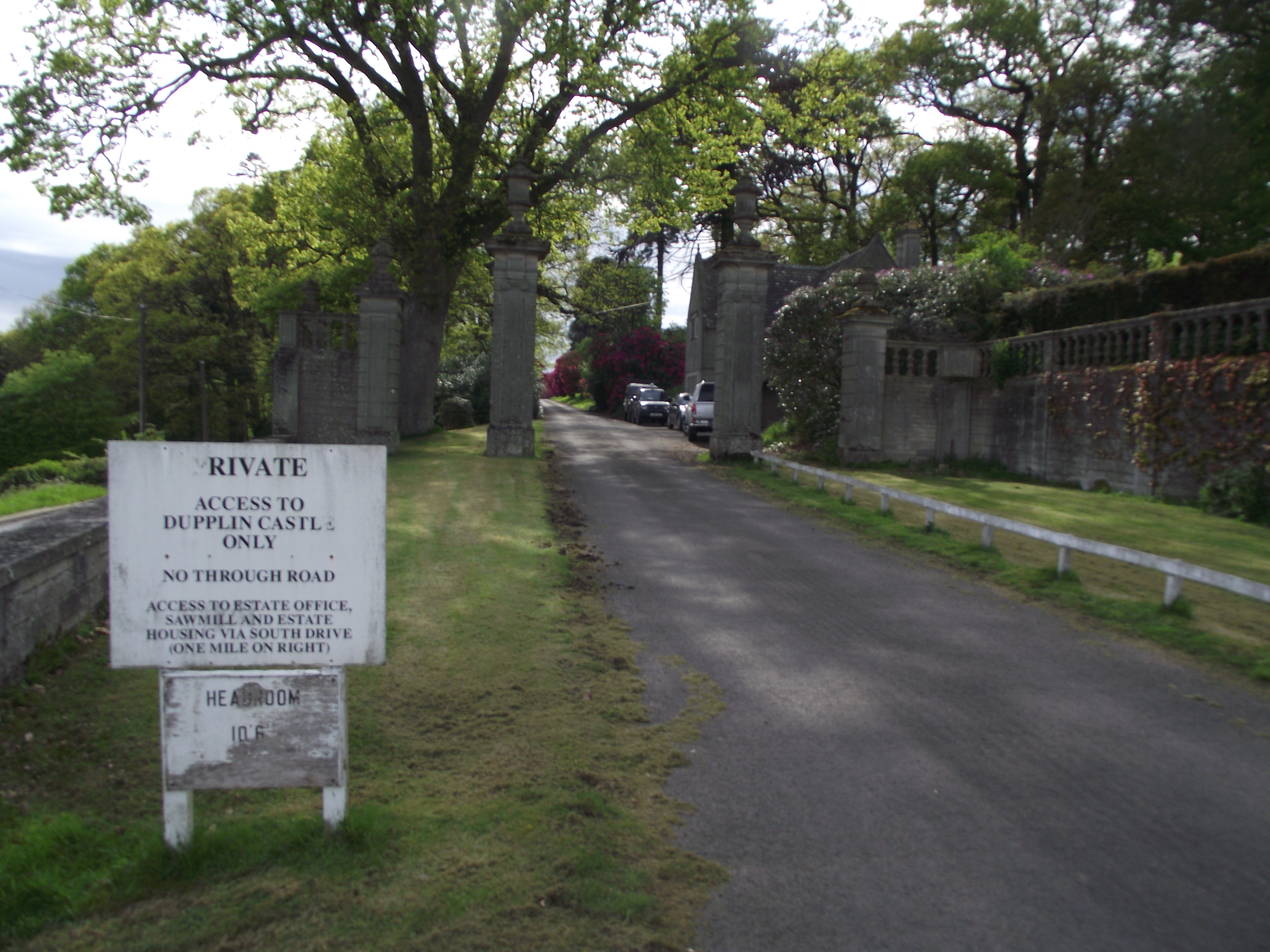
Dupplin Castle

Dupplin Castle is a country house and former castle in Perth and Kinross, Scotland, situated to the west of Aberdalgie and northeast of Forteviot and Dunning...

Forgandenny

Forgandenny (Scottish Gaelic Forgrann Eithne, 'Over-Bog of Eithne' [an ancient female Gaelic name]) is a small village in Perth and Kinross, Scotland,...

Battle of Dupplin Moor

The Battle of Dupplin Moor was fought between supporters of King David II of Scotland, the son of King Robert Bruce, and English-backed invaders supporting...

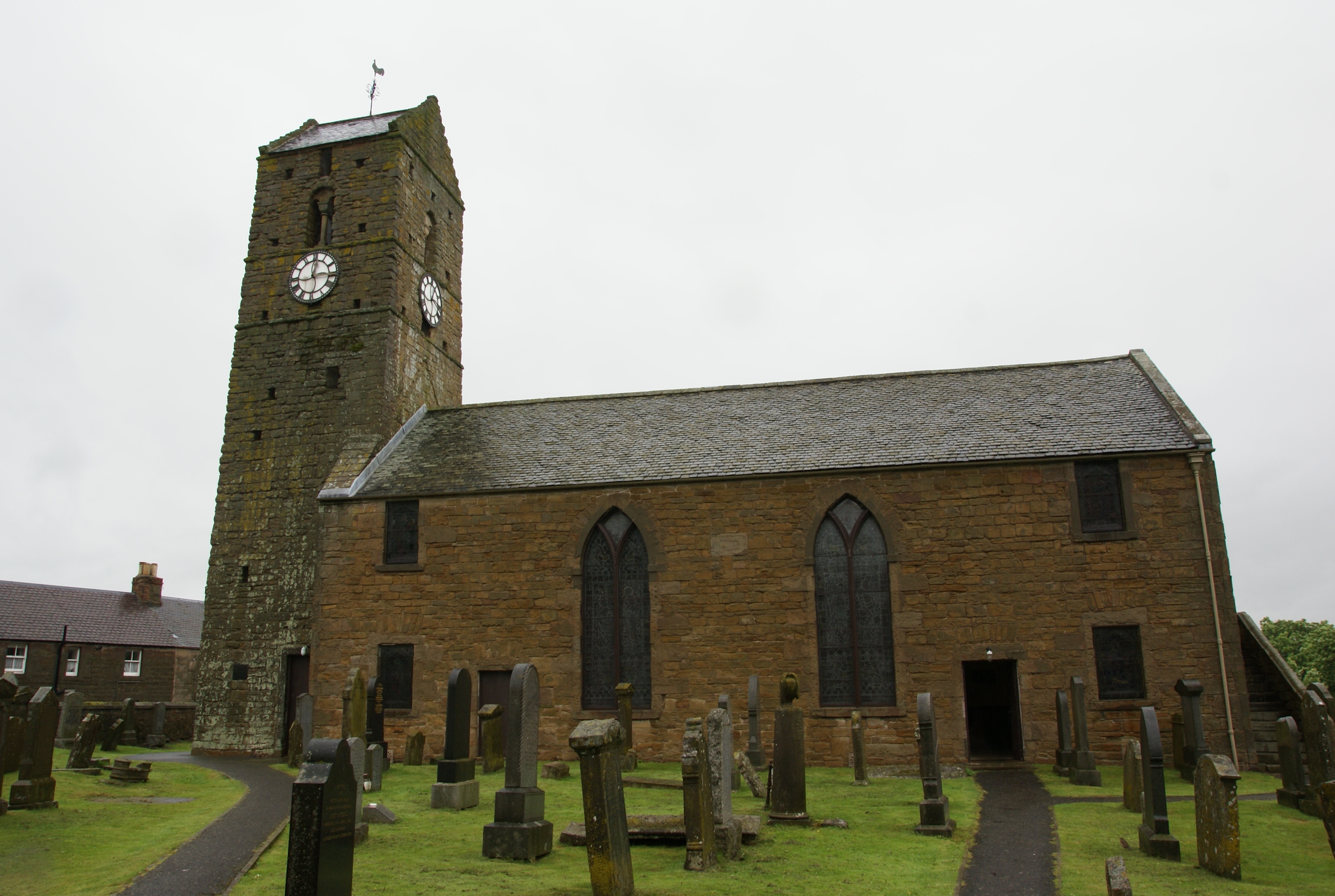
St Serf's Church, Dunning

St Serf's Church in the Scottish village of Dunning, Perth and Kinross is a Category A listed building largely dating to the early 19th century, but incorporating...

Nearby Amenities

Located within 500m of 56.329821,-3.5299616
Post Box
Collection Times: Mo-Fr 09:00; Sa 08:30
Manufacturer: W.T.Allen & Co. London
Operator: Royal Mail
Post Box Mounting: stone_wall
Post Box Type: wall
Ref: PH2 199
Royal Cypher: GVIR
Royal Cypher Wikidata: Q33102169
Source: survey;local knowledge
Lat/Long: 56.3299758/-3.5357803
Invermay
1860name: Saw Mill
Pont: no
Stobie1783: Craighall Mill
Designation: Historic Mill
Historic: archaeological_site
Source: OS Six inch First Series
Lat/Long: 56.3288656/-3.5318142
The data included in this document is from www.openstreetmap.org. The data is made available under ODbL.

Have you been to Craigend Wood?

Leave your review of Craigend Wood below (or comments, questions and feedback).