Cairnwell Hills
Range Of Mountains, Range Of Hills in Perthshire
Scotland
Cairnwell Hills
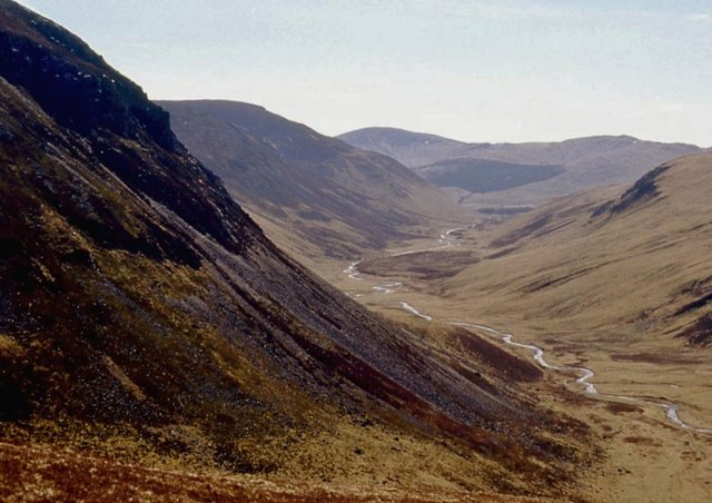
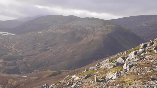
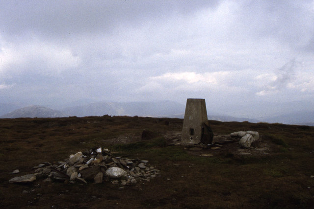
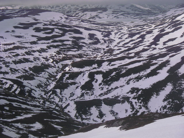
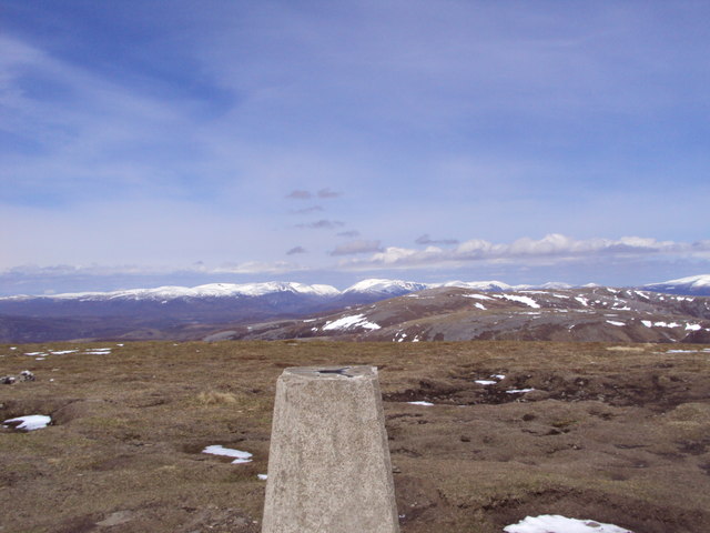
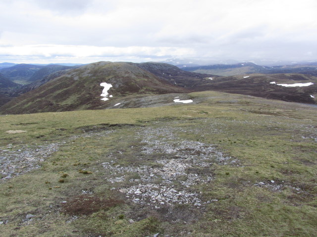
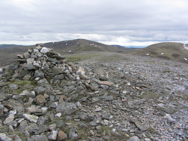
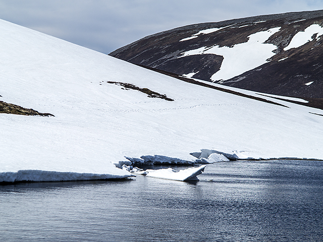
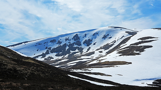
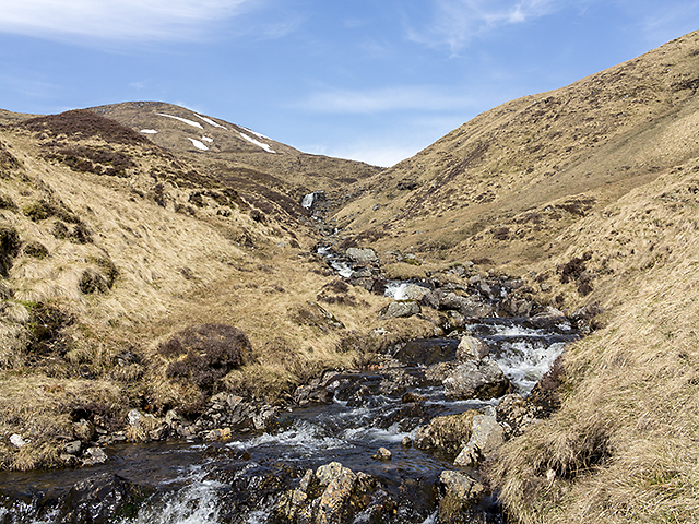
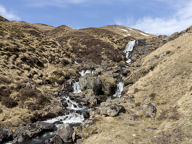
The Cairnwell Hills are a range of mountains located in Perthshire, Scotland. Situated within the Grampian Mountains, the Cairnwell Hills are known for their rugged terrain and stunning views of the surrounding countryside. The highest peak in the range is the Cairnwell, which stands at an elevation of 933 meters (3,061 feet).
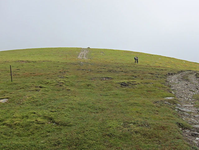
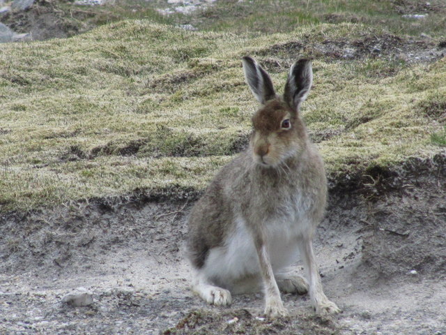
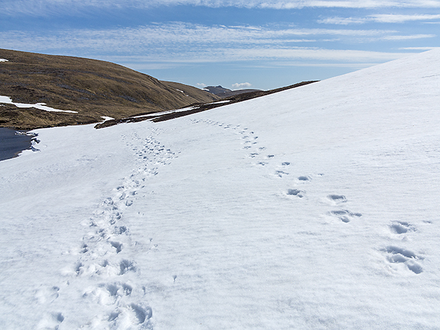
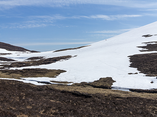
The Cairnwell Hills are a popular destination for hikers and outdoor enthusiasts, offering a variety of trails and routes for all skill levels. The range is also home to a number of rare plant and animal species, making it a haven for wildlife enthusiasts and nature lovers.
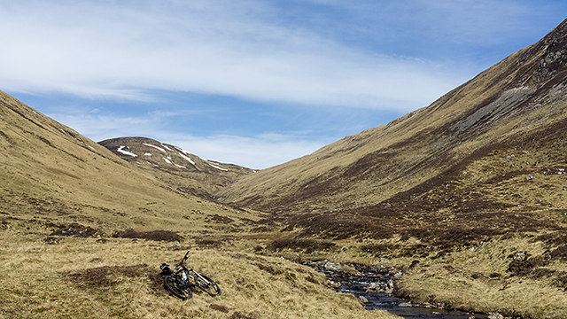
The Cairnwell Hills are easily accessible from the nearby town of Braemar, which serves as a gateway to the range. Visitors can explore the hills on foot or by bike, taking in the breathtaking scenery and enjoying the peace and tranquility of this remote wilderness area.
Overall, the Cairnwell Hills are a must-visit destination for anyone looking to experience the natural beauty and rugged charm of the Scottish Highlands.
If you have any feedback on the listing, please let us know in the comments section below.
Cairnwell Hills Images
Images are sourced within 2km of 56.877093/-3.5357777 or Grid Reference NO0677. Thanks to Geograph Open Source API. All images are credited.
Cairnwell Hills is located at Grid Ref: NO0677 (Lat: 56.877093, Lng: -3.5357777)
Unitary Authority: Perth and Kinross
Police Authority: Tayside
What 3 Words
///extent.pinch.punt. Near Inverey, Aberdeenshire
Nearby Locations
Related Wikis

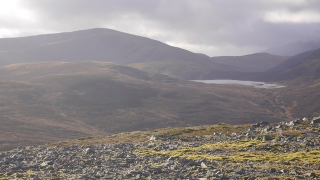
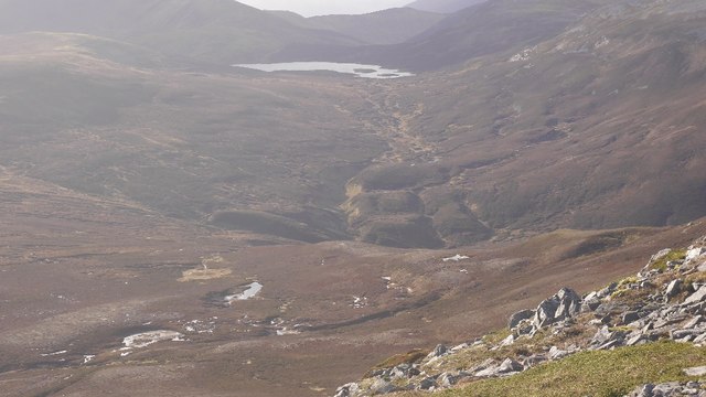
Loch nan Eun
Loch nan Eun is a remote freshwater loch, located in Gleann Taitneach in the Grampian Mountains, Perth and Kinross, some 4.5 miles west of The Cairnwell...

Glas Tulaichean
Glas Tulaichean (Scottish Gaelic: An Glas-Thulchan) is a large, complex mountain in the Mounth, Scotland. It is about 18 kilometres (11 mi) south of Braemar...

Beinn Iutharn Mhòr
Beinn Iutharn Mhor (1,045 m) is a mountain in the Grampian Mountains of Scotland. It lies north of Glen Shee on the Aberdeenshire and Perthshire border...

An Socach (Glen Ey)
An Socach is a Scottish mountain situated some three miles (5 km) west of the A93 road from Perth to Braemar. It is located at grid ref. 080800 on Ordnance...
Nearby Amenities
Located within 500m of 56.877093,-3.5357777Have you been to Cairnwell Hills?
Leave your review of Cairnwell Hills below (or comments, questions and feedback).