Broadlees Bottom
Valley in Kent Dover
England
Broadlees Bottom
Broadlees Bottom is a picturesque valley located in the county of Kent, England. Situated in the southeastern part of the country, it is known for its stunning natural beauty and tranquil atmosphere. The valley is nestled between rolling hills and is characterized by its lush greenery and abundant wildlife.
Covering an area of approximately 2 square kilometers, Broadlees Bottom is home to a diverse range of plant and animal species. The valley is primarily covered in broad-leaved woodland, hence its name, which provides a rich habitat for various birds, mammals, and insects. Visitors to the area can often spot deer, foxes, and numerous species of birds, making it a popular destination for nature enthusiasts and wildlife photographers.
Broadlees Bottom offers a network of walking trails, allowing visitors to explore the valley and enjoy its natural wonders. The trails wind through the woodland, offering glimpses of picturesque streams and small waterfalls along the way. The valley also features several picnic spots and viewpoints, providing opportunities for visitors to relax and take in the breathtaking scenery.
In addition to its natural beauty, Broadlees Bottom has historical significance as well. It is believed that the valley has been inhabited for centuries, with evidence of human activity dating back to the Roman era. The area is also home to several ancient burial sites and archaeological remains, adding to its cultural heritage.
Overall, Broadlees Bottom is a captivating destination that showcases the best of Kent's countryside. Its combination of stunning landscapes, diverse wildlife, and historical significance make it a must-visit location for both locals and tourists alike.
If you have any feedback on the listing, please let us know in the comments section below.
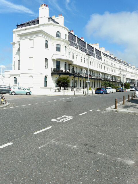
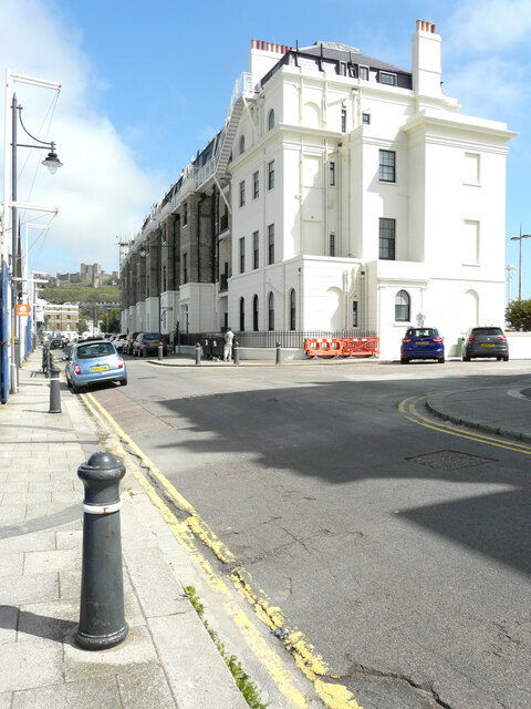
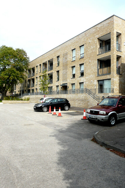
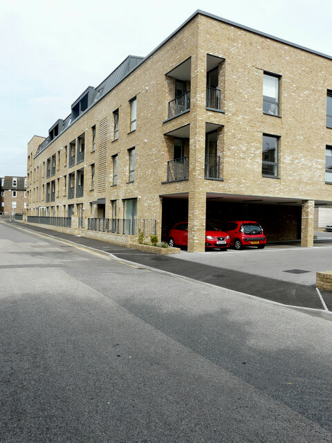
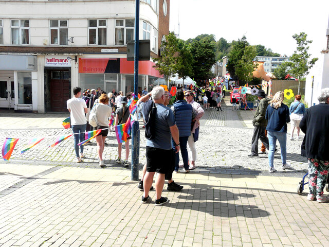
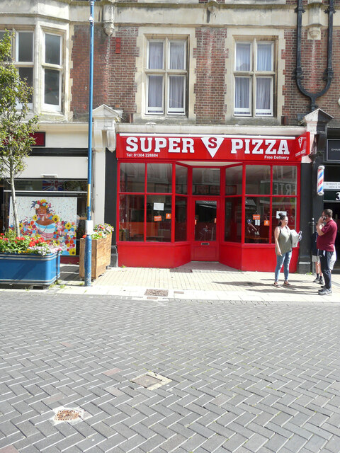
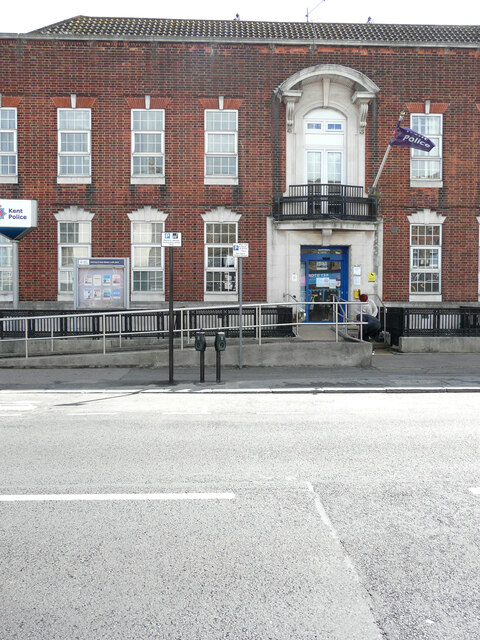
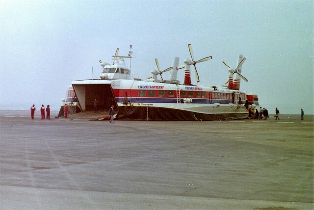
Broadlees Bottom Images
Images are sourced within 2km of 51.131268/1.3302667 or Grid Reference TR3342. Thanks to Geograph Open Source API. All images are credited.
Broadlees Bottom is located at Grid Ref: TR3342 (Lat: 51.131268, Lng: 1.3302667)
Administrative County: Kent
District: Dover
Police Authority: Kent
What 3 Words
///mugs.metro.lobby. Near Dover, Kent
Nearby Locations
Related Wikis

St Mary sub Castro, Dover
St Mary sub Castro (i. e. "St Mary below the Castle"), or St Mary de Castro, or St Mary in Castro ("St Mary in the Castle"), is a church in the grounds...

Dubris
Dubris, also known as Portus Dubris and Dubrae, was a port in Roman Britain on the site of present-day Dover, Kent, England. As the closest point to continental...

Dover Castle
Dover Castle is a medieval castle in Dover, Kent, England and is Grade I listed. It was founded in the 11th century and has been described as the "Key...

HMS Codrington
HMS Codrington was one of nine A-class destroyers built for the Royal Navy during the 1920s. She was the flotilla leader for the class. During the Second...
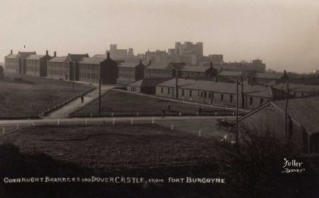
Connaught Barracks, Dover
Connaught Barracks, Dover was a military installation at Dover in Kent. == History == The barracks, which were built about half a mile south of Fort Burgoyne...

Swingate, Kent
Swingate is a village near Dover in Kent, England. The population of the village is included in the civil parish of Sutton. == See also == Swingate transmitting...

Swingate transmitting station
The Swingate transmitting station is a facility for FM-transmission in the village of Swingate, near Dover, Kent (grid reference TR334429). For many years...

Fort Burgoyne
Fort Burgoyne, originally known as Castle Hill Fort, was built in the 1860s as one of the Palmerston forts around Dover in southeast England. It was built...
Nearby Amenities
Located within 500m of 51.131268,1.3302667Have you been to Broadlees Bottom?
Leave your review of Broadlees Bottom below (or comments, questions and feedback).