The Dell

Valley in Suffolk East Suffolk

England

The Dell

Emmanuel Church, Upper Olland Street, Bungay
Emmanuel Church, Upper Olland Street, Bungay Credit: Chris Holifield

The Dell, Suffolk, also known as The Valley, is a picturesque nature reserve located in the county of Suffolk, England. It is situated near the village of Cockfield, approximately 10 miles southwest of the town of Bury St Edmunds.

The Dell is a stunning natural landscape, characterized by its rolling hills, meandering streams, and diverse wildlife. The reserve covers an area of around 50 acres and is predominantly covered in ancient woodland, with a mixture of broadleaf and coniferous trees. The Dell is known for its beautiful display of bluebells in spring, which attract visitors from far and wide.

The reserve is managed by the Suffolk Wildlife Trust, a non-profit organization dedicated to the conservation of wildlife and habitats in the county. The Dell offers a range of facilities for visitors, including well-maintained footpaths, picnic areas, and information boards providing details about the local flora and fauna.

The Dell is home to a wide variety of wildlife, including mammals such as deer, foxes, and bats, as well as numerous bird species like woodpeckers, owls, and warblers. The reserve provides an important habitat for these creatures, and visitors often enjoy birdwatching and wildlife spotting during their visit.

Overall, The Dell, Suffolk, offers a tranquil and scenic escape from the hustle and bustle of everyday life. Its natural beauty, diverse wildlife, and well-managed facilities make it a popular destination for nature enthusiasts and families alike.

If you have any feedback on the listing, please let us know in the comments section below.

The Dell Images

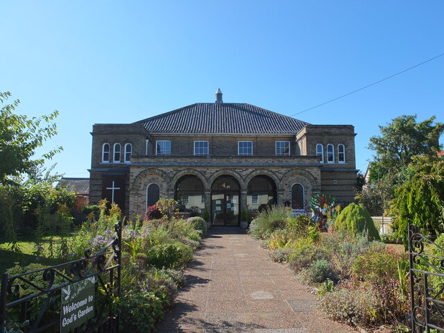
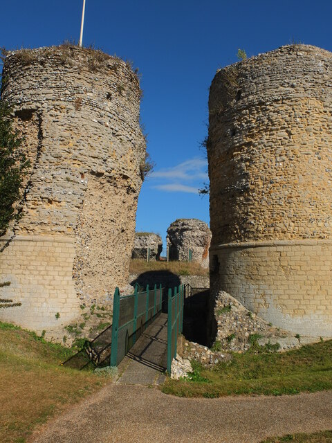
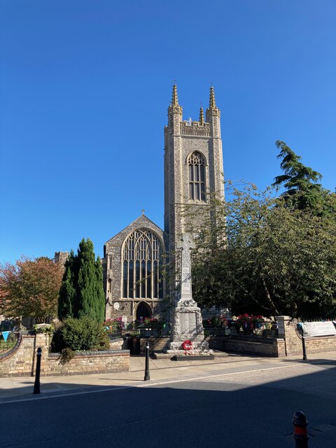
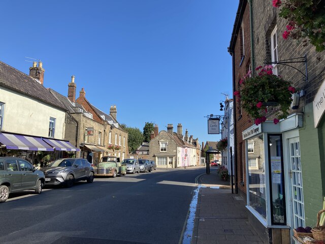
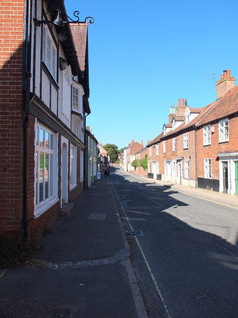
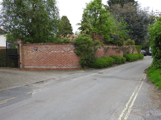
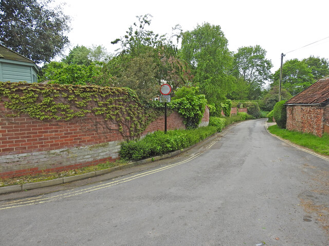
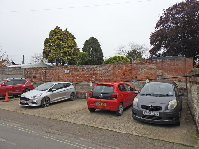
Images are sourced within 2km of 52.439205/1.4278195 or Grid Reference TM3387. Thanks to Geograph Open Source API. All images are credited.

Emmanuel Church, Upper Olland Street, Bungay
Bungay Castle
Bungay Castle
St Mary's church, Bungay St Mary's is a magnificent church which is now redundant and is cared for by The Church Conservation Trust and the Friends of St Mary’s Church: <span class="nowrap"><a title="https://stmaryschurchbungay.co.uk/" rel="nofollow ugc noopener" href="https://stmaryschurchbungay.co.uk/">Link</a><img style="margin-left:2px;" alt="External link" title="External link - shift click to open in new window" src="https://s1.geograph.org.uk/img/external.png" width="10" height="10"/></span>
St Mary's church, Bungay
St Mary's is a magnificent church which is now redundant and is cared for by The Church Conservation Trust and the Friends of St Mary’s Church: LinkExternal link
Earsham Street, Bungay
Upper Olland Street, Bungay
A143 east at turning for Earsham
Earsham turning on A143 east
The former Earsham railway station house The old platform is still extant and the sloping end can be seen just in front of the trees.
From the outset Earsham Station was a passenger station and had no goods facilities. The single 310 feet long platform and a signal box were its only other assets, being only a mile west of Bungay additional works were deemed unwarranted. The station bisected Hall Road, the village end of which was thereafter known as Station Road with a level crossing on the Bungay side.
The former Earsham railway station house
The old platform is still extant and the sloping end can be seen just in front of the trees. From the outset Earsham Station was a passenger station and had no goods facilities. The single 310 feet long platform and a signal box were its only other assets, being only a mile west of Bungay additional works were deemed unwarranted. The station bisected Hall Road, the village end of which was thereafter known as Station Road with a level crossing on the Bungay side.
Site of the former level crossing at Earsham This side of the Hall Road has been realigned and widened, but the position of the gates were to the left of the former station between it and the telegraph pole.
The other side of what was Hall Road before it was bisected by the railway was renamed Station Road.
Site of the former level crossing at Earsham
This side of the Hall Road has been realigned and widened, but the position of the gates were to the left of the former station between it and the telegraph pole. The other side of what was Hall Road before it was bisected by the railway was renamed Station Road.
Remains of the 310 feet long station platform at Earsham This picture was taken as if standing on the former level crossing of the railway  which ran this side of the platform with the signal box out from the right side of the picture
Remains of the 310 feet long station platform at Earsham
This picture was taken as if standing on the former level crossing of the railway which ran this side of the platform with the signal box out from the right side of the picture
Former location of railway bridge #1188 Obviously the bridge was rebuilt for the road but the location over the drainage channel is the same.
Former location of railway bridge #1188
Obviously the bridge was rebuilt for the road but the location over the drainage channel is the same.
Former location of railway bridge #1189 Obviously the bridge was rebuilt for the road but the location over the drainage channel is the same.
Former location of railway bridge #1189
Obviously the bridge was rebuilt for the road but the location over the drainage channel is the same.
Crinkle-crankle wall at Castle Orchard, Bungay The wall surrounds two sides of the house's garden and is about 80 yards in total
Crinkle-crankle wall at Castle Orchard, Bungay
The wall surrounds two sides of the house's garden and is about 80 yards in total
Crinkle-crankle wall around the garden of Castle Orchard House The wall is about 80 yards long in total and the rest can be seen here <a href="https://www.geograph.org.uk/photo/7482337">TM3389 : Crinkle-crankle wall at Castle Orchard, Bungay</a>
Crinkle-crankle wall around the garden of Castle Orchard House
The wall is about 80 yards long in total and the rest can be seen here TM3389 : Crinkle-crankle wall at Castle Orchard, Bungay
The crinkle-crankle wall of St Mary's House, Bungay St Mary's House is a former school in Bungay. An independent school for boys and girls up to eleven; and for girls only from eleven to fifteen. It closed in 1964, when the two spinster ladies, Miss Maudsley and Miss Doble, to whom it belonged retired. It is currently a private residence
The crinkle-crankle wall of St Mary's House, Bungay
St Mary's House is a former school in Bungay. An independent school for boys and girls up to eleven; and for girls only from eleven to fifteen. It closed in 1964, when the two spinster ladies, Miss Maudsley and Miss Doble, to whom it belonged retired. It is currently a private residence
The sign of The Three Tuns, Bungay <a href="https://www.geograph.org.uk/photo/7553052">TM3389 : The Three Tuns from Broad Street</a>
The sign of The Three Tuns, Bungay
Bungay heritage plaque, The Butter Cross,  in the Market Place This is one of 16 heritage plaques scattered around the town centre at places of historical interest.
The plaque explains this was originally The Market Cross where traders could bring their goods to sell.
The original cross was burnt down along with most of the town centre in 1688. It was rapidly rebuilt along with the rest of the town.
In 1754 the statue of Justice was bought by the council and placed on top of the dome as a symbol of fair trade.
Bungay heritage plaque, The Butter Cross, in the Market Place
This is one of 16 heritage plaques scattered around the town centre at places of historical interest. The plaque explains this was originally The Market Cross where traders could bring their goods to sell. The original cross was burnt down along with most of the town centre in 1688. It was rapidly rebuilt along with the rest of the town. In 1754 the statue of Justice was bought by the council and placed on top of the dome as a symbol of fair trade.
Bungay heritage plaque for the Druids Stone. This is one of 16 heritage plaques scattered around the town centre at places of historical interest.
The Druid or Devil's stone can be seen here   It's up to you whether you believe all that weird nonsense    <a href="https://www.geograph.org.uk/photo/7553181">TM3389 : The Druid Stone in Bungay St Mary's churchyard</a>     or realise it is probably a ready made glacial erratic utilised to cover a grave.
Bungay heritage plaque for the Druids Stone.
This is one of 16 heritage plaques scattered around the town centre at places of historical interest. The Druid or Devil's stone can be seen here It's up to you whether you believe all that weird nonsense TM3389 : The Druid Stone in Bungay St Mary's churchyard or realise it is probably a ready made glacial erratic utilised to cover a grave.
Show me another place!

The Dell is located at Grid Ref: TM3387 (Lat: 52.439205, Lng: 1.4278195)

Administrative County: Suffolk

District: East Suffolk

Police Authority: Suffolk

What 3 Words

///sends.awestruck.shutting. Near Bungay, Suffolk

Related Wikis

Bungay High School

Bungay High School is a mixed-sex secondary school with academy status in the town of Bungay in the north of the English county of Suffolk. It caters for...

RAF Bungay

Royal Air Force Bungay or more simply RAF Bungay (known locally as Flixton) is a former Royal Air Force station located 3 miles (4.8 km) south-west of...

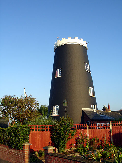
Flixton Road Mill, Bungay

Flixton Road Mill is a tower mill at Bungay, Suffolk, England which has been truncated and converted to residential accommodation. The structure is a Grade...
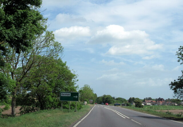
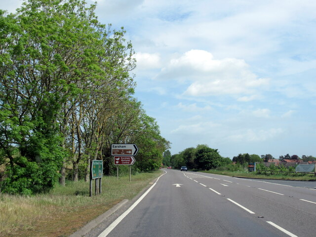
Earsham

Earsham is a village and civil parish in the English county of Norfolk. Earsham is located 1.7 kilometres (1.1 mi) west of its postal town of Bungay and...

Nearby Amenities

Located within 500m of 52.439205,1.4278195
Stow Fen Brewery
Addr City: Bungay
Addr Postcode: NR35 1PD
Addr Street: Flixton Road
Craft: brewery
Lat/Long: 52.4433845/1.4305306
Fen Farm Dairy
Addr City: Bungay
Addr Postcode: NR35 1PD
Addr Street: Flixton Road
Email: hello@fenfarmdairy.co.uk
Fhrs Id: 1074793
Phone: +44 1986 892 350
Shop: farm
Website: https://fenfarmdairy.co.uk
Lat/Long: 52.4431391/1.4294341
The data included in this document is from www.openstreetmap.org. The data is made available under ODbL.

Have you been to The Dell?

Leave your review of The Dell below (or comments, questions and feedback).