Constitution Hill

Hill, Mountain in Suffolk East Suffolk

England

Constitution Hill

4-8, Earsham Street, Bungay (Listed Building) C17 and early C18, 2 storey and attic.  C19 wood shop front to No 4. 

List Entry Number: 1234532 <span class="nowrap"><a title="https://historicengland.org.uk/listing/the-list/list-entry/1234532" rel="nofollow ugc noopener" href="https://historicengland.org.uk/listing/the-list/list-entry/1234532">Link</a><img style="margin-left:2px;" alt="External link" title="External link - shift click to open in new window" src="https://s1.geograph.org.uk/img/external.png" width="10" height="10"/></span>
4-8, Earsham Street, Bungay (Listed Building) Credit: Roger Jones

Constitution Hill is a prominent geographical feature located in Suffolk, England. It is a hill, rather than a mountain, which is situated in the eastern part of the county near the market town of Woodbridge. Rising to an elevation of approximately 90 meters (295 feet), Constitution Hill offers panoramic views of the surrounding countryside.

The hill gets its name from a historical event that took place during the English Civil War in the mid-17th century. In 1648, troops loyal to the Parliamentarian cause constructed a fortification on the hill as part of their efforts to control the area. This fortification was known as Constitution Fort, hence the name of the hill.

Today, Constitution Hill is a popular destination for both locals and tourists alike. Its elevated position provides visitors with breathtaking views of the picturesque Suffolk landscape, including rolling hills and lush green fields. The hill is accessible via several footpaths and offers various walking routes for outdoor enthusiasts to explore.

Aside from its natural beauty, Constitution Hill also holds historical significance. It serves as a reminder of the region's past, particularly the events that unfolded during the English Civil War. Visitors can still see remnants of the fortification, such as earthworks and defensive ditches, which add to the hill's charm and historical appeal.

Overall, Constitution Hill in Suffolk is a place where visitors can enjoy stunning views, connect with the region's history, and immerse themselves in the natural beauty of the English countryside.

If you have any feedback on the listing, please let us know in the comments section below.

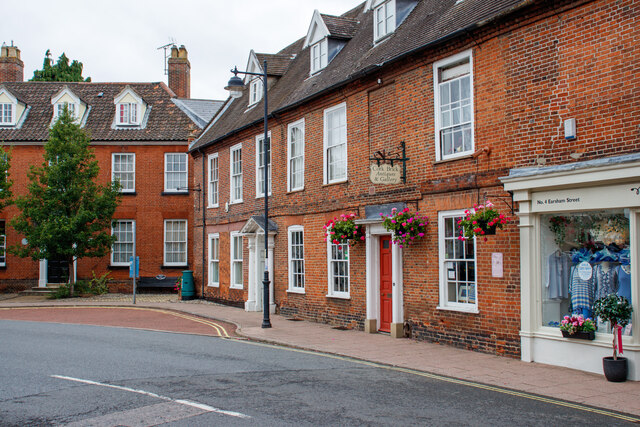
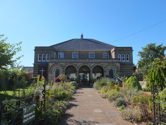
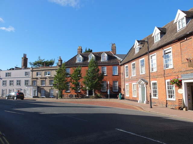
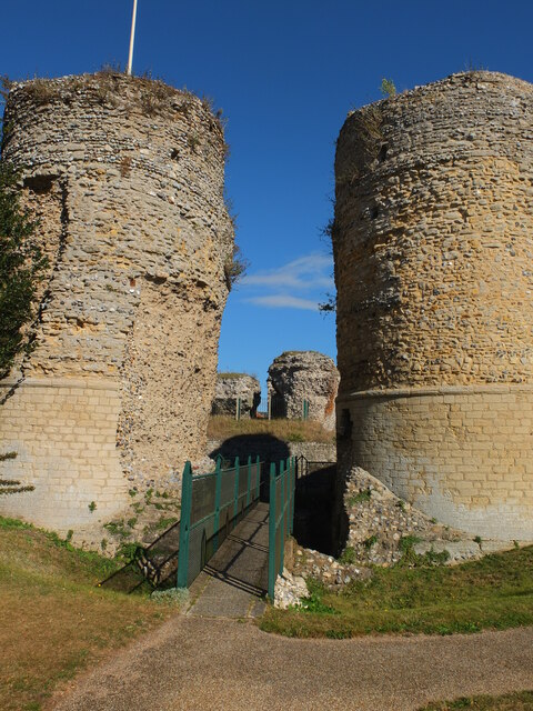
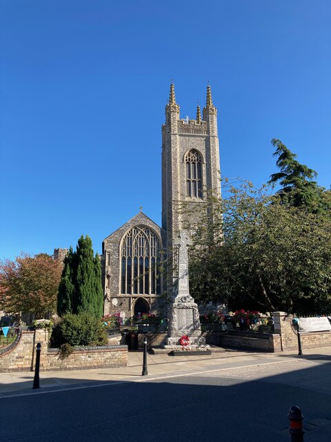
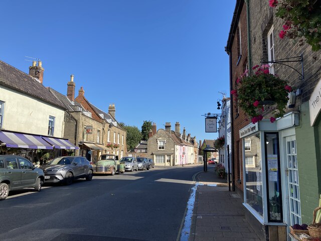
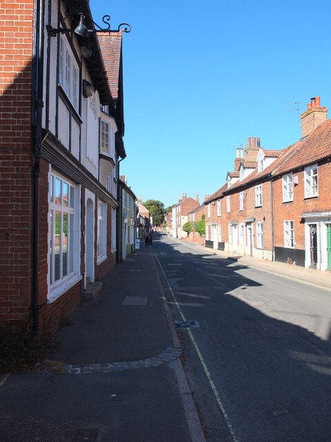
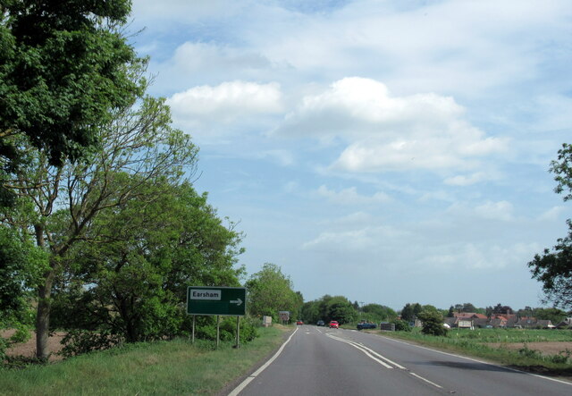
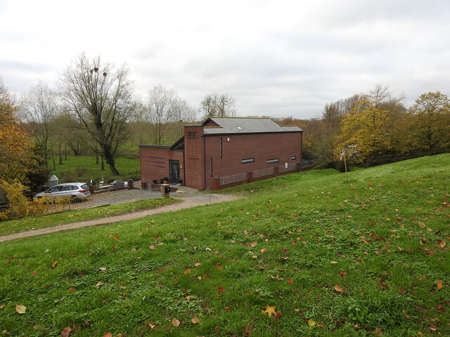
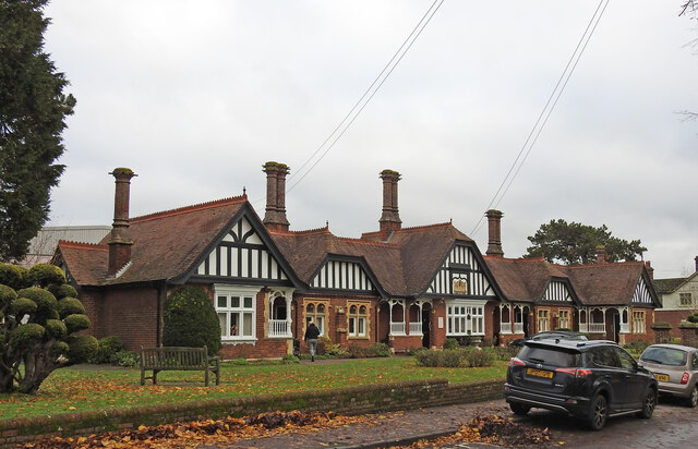
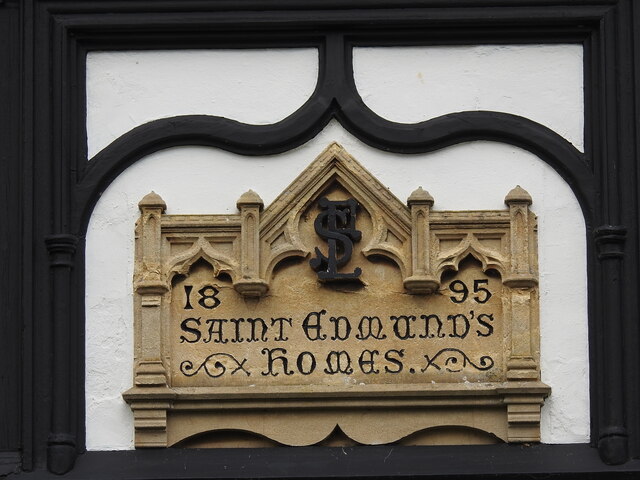
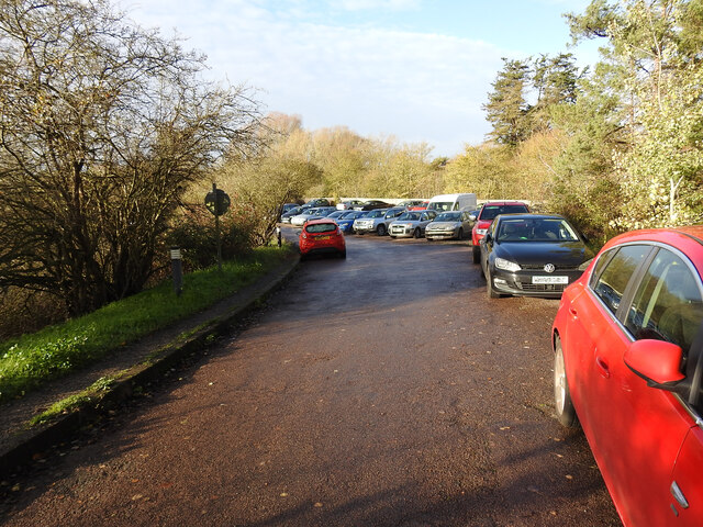
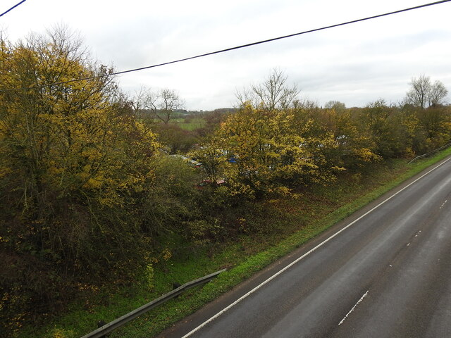
Constitution Hill Images

Images are sourced within 2km of 52.439808/1.4302947 or Grid Reference TM3387. Thanks to Geograph Open Source API. All images are credited.

4-8, Earsham Street, Bungay (Listed Building) C17 and early C18, 2 storey and attic.  C19 wood shop front to No 4. 

List Entry Number: 1234532 <span class="nowrap"><a title="https://historicengland.org.uk/listing/the-list/list-entry/1234532" rel="nofollow ugc noopener" href="https://historicengland.org.uk/listing/the-list/list-entry/1234532">Link</a><img style="margin-left:2px;" alt="External link" title="External link - shift click to open in new window" src="https://s1.geograph.org.uk/img/external.png" width="10" height="10"/></span>
4-8, Earsham Street, Bungay (Listed Building)
C17 and early C18, 2 storey and attic. C19 wood shop front to No 4. List Entry Number: 1234532 LinkExternal link
Emmanuel Church, Upper Olland Street, Bungay
Houses on the corner of Earsham Street, Bungay
Bungay Castle
Bungay Castle
St Mary's church, Bungay St Mary's is a magnificent church which is now redundant and is cared for by The Church Conservation Trust and the Friends of St Mary’s Church: <span class="nowrap"><a title="https://stmaryschurchbungay.co.uk/" rel="nofollow ugc noopener" href="https://stmaryschurchbungay.co.uk/">Link</a><img style="margin-left:2px;" alt="External link" title="External link - shift click to open in new window" src="https://s1.geograph.org.uk/img/external.png" width="10" height="10"/></span>
St Mary's church, Bungay
St Mary's is a magnificent church which is now redundant and is cared for by The Church Conservation Trust and the Friends of St Mary’s Church: LinkExternal link
Earsham Street, Bungay
Upper Olland Street, Bungay
A143 east at turning for Earsham
Earsham turning on A143 east
A143 east at Suffolk County border sign
Market Place, Bungay
Fisher Theatre, Broad Street, Bungay Fisher Theatre is now a cinema.  On the right, the entrance to the pleasingly-named Cork Bricks, a short alley that cuts through to the next street.
Fisher Theatre, Broad Street, Bungay
Fisher Theatre is now a cinema. On the right, the entrance to the pleasingly-named Cork Bricks, a short alley that cuts through to the next street.
Drift House, Bungay The building has the appearance of being a church.
Drift House, Bungay
The building has the appearance of being a church.
Alms houses in Outney Road, Bungay St Edmund’s Almshouse, built in 1895 to the designs of E Banham, using funds donated by Frederick Smith (1833-1903), a local solicitor, is listed at Grade II, built of red brick laid in Flemish bond with stone dressings and plain red tiled roof covering.
Alms houses in Outney Road, Bungay
St Edmund’s Almshouse, built in 1895 to the designs of E Banham, using funds donated by Frederick Smith (1833-1903), a local solicitor, is listed at Grade II, built of red brick laid in Flemish bond with stone dressings and plain red tiled roof covering.
St Edmund's alms houses, Bungay - plaque detail The central gable, which is taller than those flanking it, contains this carved stone plaque with Gothic trefoil arches bearing the date of 1895 and St Edmund’s Homes with the entwined letters SE above.
St Edmund's alms houses, Bungay - plaque detail
The central gable, which is taller than those flanking it, contains this carved stone plaque with Gothic trefoil arches bearing the date of 1895 and St Edmund’s Homes with the entwined letters SE above.
St Edmund's alms houses, Bungay - chimney detail Above the steeply pitched roof are five tall octagonal chimneys shafts with moulded brick bases and star tops.
St Edmund's alms houses, Bungay - chimney detail
Above the steeply pitched roof are five tall octagonal chimneys shafts with moulded brick bases and star tops.
The site of the former Bungay Railway Station Now a car park for the employees of Clays Printing Works.
The station was 12¾ miles from Tivetshall and necessitated the building of two bridges numbers 1190 and 1192, within a half mile of each other, over the River Waveney as well as minor bridges over drainage ditches.
The station itself had two platforms although only a single line each side of the station. The signal box was located between the station building and the Outney overbridge. The station underwent an improvement and expansion in 1933 when the previous wooden buildings were replaced with purpose-built brick buildings with all the usual amenities plus a W H Smith newspaper and book stall. The goods yard which was separated from the passenger station by the Outney overbridge consisted of a large crossing loop sidings and a goods shed containing a 30 cwt crane, cattle pens and loading dock. Coal bunkers and a water tank (still in use at The North Norfolk Railway).
The site of the former Bungay Railway Station
Now a car park for the employees of Clays Printing Works. The station was 12¾ miles from Tivetshall and necessitated the building of two bridges numbers 1190 and 1192, within a half mile of each other, over the River Waveney as well as minor bridges over drainage ditches. The station itself had two platforms although only a single line each side of the station. The signal box was located between the station building and the Outney overbridge. The station underwent an improvement and expansion in 1933 when the previous wooden buildings were replaced with purpose-built brick buildings with all the usual amenities plus a W H Smith newspaper and book stall. The goods yard which was separated from the passenger station by the Outney overbridge consisted of a large crossing loop sidings and a goods shed containing a 30 cwt crane, cattle pens and loading dock. Coal bunkers and a water tank (still in use at The North Norfolk Railway).
The former site of Bungay Waveney Valley Railway Station In the trees and in part of the car park behind was the site of Bungay Railway Station. The station was 12¾ miles from Tivetshall and necessitated the building of two bridges numbers 1190 and 1192, within a half mile of each other, over the River Waveney as well as minor bridges over drainage ditches.
The station itself had two platforms although only a single line each side of the station. The signal box was located between the station building and the Outney overbridge. The station underwent an improvement and expansion in 1933 when the previous wooden buildings were replaced with purpose-built brick buildings with all the usual amenities plus a W H Smith newspaper and book stall. The goods yard which was separated from the passenger station by the Outney overbridge consisted of a large crossing loop sidings and a goods shed containing a 30 cwt crane, cattle pens and loading dock. Coal bunkers and a water tank which is still in use at Weybourne Station on the North Norfolk Railway.  <a href="https://www.geograph.org.uk/photo/7353291">TG1141 : Water tank at Weybourne railway station</a>
The former site of Bungay Waveney Valley Railway Station
In the trees and in part of the car park behind was the site of Bungay Railway Station. The station was 12¾ miles from Tivetshall and necessitated the building of two bridges numbers 1190 and 1192, within a half mile of each other, over the River Waveney as well as minor bridges over drainage ditches. The station itself had two platforms although only a single line each side of the station. The signal box was located between the station building and the Outney overbridge. The station underwent an improvement and expansion in 1933 when the previous wooden buildings were replaced with purpose-built brick buildings with all the usual amenities plus a W H Smith newspaper and book stall. The goods yard which was separated from the passenger station by the Outney overbridge consisted of a large crossing loop sidings and a goods shed containing a 30 cwt crane, cattle pens and loading dock. Coal bunkers and a water tank which is still in use at Weybourne Station on the North Norfolk Railway. TG1141 : Water tank at Weybourne railway station
Show me another place!

Constitution Hill is located at Grid Ref: TM3387 (Lat: 52.439808, Lng: 1.4302947)

Administrative County: Suffolk

District: East Suffolk

Police Authority: Suffolk

What 3 Words

///circular.heartache.eggs. Near Bungay, Suffolk

Related Wikis

Bungay High School

Bungay High School is a mixed-sex secondary school with academy status in the town of Bungay in the north of the English county of Suffolk. It caters for...

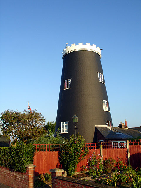
Flixton Road Mill, Bungay

Flixton Road Mill is a tower mill at Bungay, Suffolk, England which has been truncated and converted to residential accommodation. The structure is a Grade...

RAF Bungay

Royal Air Force Bungay or more simply RAF Bungay (known locally as Flixton) is a former Royal Air Force station located 3 miles (4.8 km) south-west of...
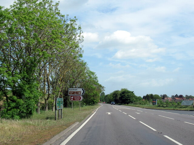
Earsham

Earsham is a village and civil parish in the English county of Norfolk. Earsham is located 1.7 kilometres (1.1 mi) west of its postal town of Bungay and...

Nearby Amenities

Located within 500m of 52.439808,1.4302947
Stow Fen Brewery
Addr City: Bungay
Addr Postcode: NR35 1PD
Addr Street: Flixton Road
Craft: brewery
Lat/Long: 52.4433845/1.4305306
Fen Farm Dairy
Addr City: Bungay
Addr Postcode: NR35 1PD
Addr Street: Flixton Road
Email: hello@fenfarmdairy.co.uk
Fhrs Id: 1074793
Phone: +44 1986 892 350
Shop: farm
Website: https://fenfarmdairy.co.uk
Lat/Long: 52.4431391/1.4294341
The data included in this document is from www.openstreetmap.org. The data is made available under ODbL.

Have you been to Constitution Hill?

Leave your review of Constitution Hill below (or comments, questions and feedback).