Brook Hill
Hill, Mountain in Norfolk Broadland
England
Brook Hill
Brook Hill is a hill located in Norfolk, England. Situated in the eastern part of the county, it forms part of the Norfolk Broads, an area renowned for its natural beauty and diverse wildlife. With an elevation of approximately 65 meters (213 feet), it is one of the highest points in Norfolk.
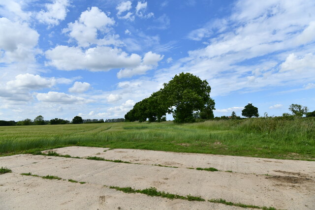
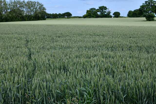
The hill is covered in lush greenery and dotted with a variety of trees, including oak, beech, and pine. It offers stunning panoramic views of the surrounding countryside, providing visitors with an opportunity to appreciate the tranquil and picturesque landscape that Norfolk is known for.
Brook Hill is a popular destination for outdoor enthusiasts and nature lovers. The area is crisscrossed by a network of footpaths and trails, making it ideal for hiking and walking. The hill also attracts birdwatchers, as it is a haven for various bird species, including wrens, finches, and woodpeckers.
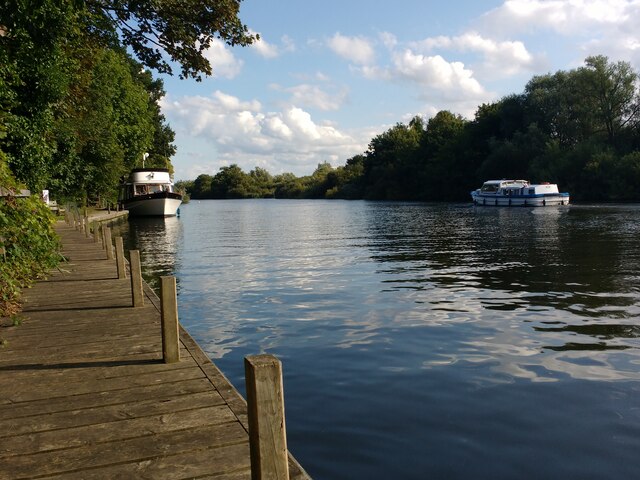
Nearby, there is a small brook that flows down the hillside, adding to the charm of the area. The babbling brook provides a soothing soundtrack to the peaceful surroundings, enhancing the overall experience of visiting Brook Hill.
Overall, Brook Hill in Norfolk offers visitors a chance to immerse themselves in the natural beauty of the region. It is a place where one can escape the hustle and bustle of everyday life and connect with the tranquility of the countryside.
If you have any feedback on the listing, please let us know in the comments section below.
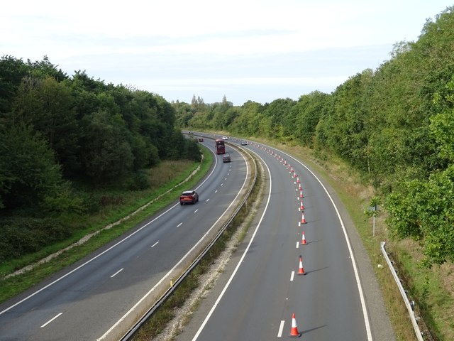
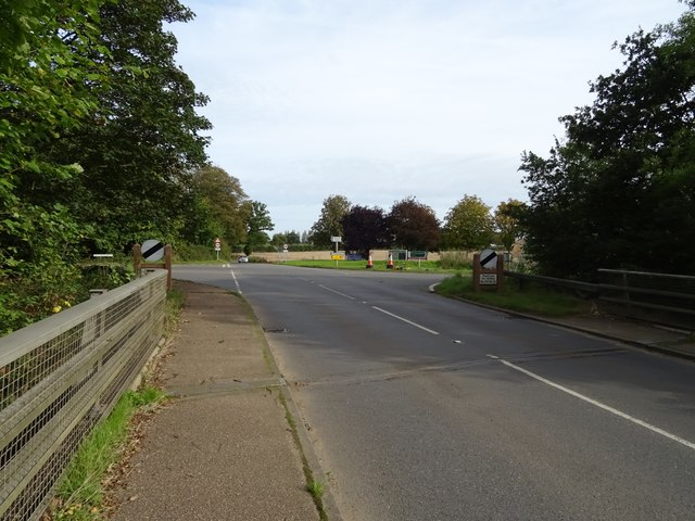
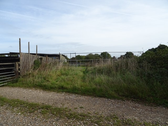
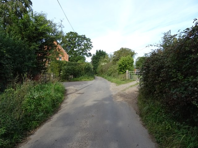
Brook Hill Images
Images are sourced within 2km of 52.627952/1.4443239 or Grid Reference TG3308. Thanks to Geograph Open Source API. All images are credited.


Brook Hill is located at Grid Ref: TG3308 (Lat: 52.627952, Lng: 1.4443239)
Administrative County: Norfolk
District: Broadland
Police Authority: Norfolk
What 3 Words
///ejects.acclaimed.underline. Near Brundall, Norfolk
Nearby Locations
Related Wikis

Brundall
Brundall is a village and civil parish in the English county of Norfolk. It is located on the north bank of the River Yare opposite Surlingham Broad and...

Blofield
Blofield is a village and civil parish in the Broadland district of Norfolk, England. The parish includes Blofield and the hamlets of Blofield Heath and...
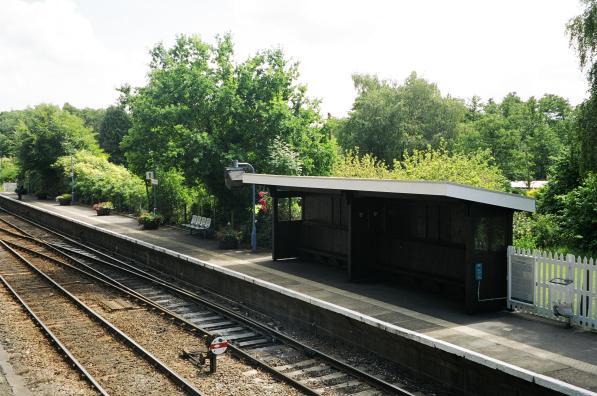
Brundall railway station
Brundall railway station is on the Wherry Lines in the east of England, serving the village of Brundall, Norfolk. It is 5 miles 60 chains (9.3 km) down...
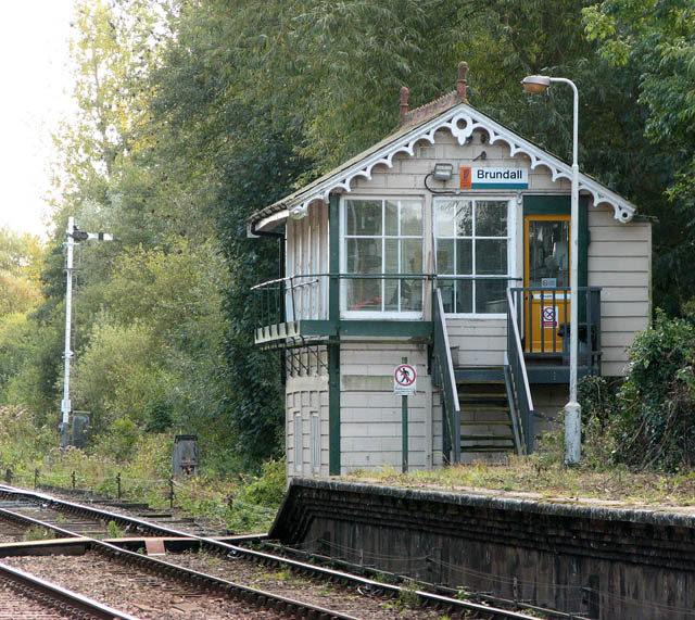
Brundall signal box
Brundall signal box is a Grade II listed former Great Eastern Railway signal box on Brundall railway station in Norfolk, England. Located on the Wherry...
Nearby Amenities
Located within 500m of 52.627952,1.4443239Have you been to Brook Hill?
Leave your review of Brook Hill below (or comments, questions and feedback).