Fox Hill Down

Downs, Moorland in Kent Dover

England

Fox Hill Down

National Westminster Bank, Market Square There are plans to remove these telephone kiosks and to replace them with a single kiosk.
National Westminster Bank, Market Square Credit: John Baker

Fox Hill Down is a picturesque area located in the county of Kent, England. Situated within the larger Kent Downs, it is known for its stunning landscape that combines rolling hills, open grasslands, and scattered patches of moorland. The area covers several square miles, providing ample space for outdoor enthusiasts to explore and enjoy nature.

The downs of Fox Hill Down offer breathtaking views, with their gentle slopes covered in lush green grasses and dotted with wildflowers during the spring and summer months. The open grasslands create a sense of tranquility, making it a popular spot for nature lovers and walkers seeking solace in the countryside.

Furthermore, Fox Hill Down boasts areas of moorland, adding diversity to the landscape. Moorland areas are characterized by heather, gorse, and bracken, creating a unique habitat for a variety of wildlife. Visitors may catch a glimpse of rare bird species, such as the Dartford warbler or the stonechat, which thrive in these moorland habitats.

The area is also rich in history, with evidence of human activity dating back thousands of years. Archaeological discoveries have revealed traces of Neolithic settlements and Bronze Age burial mounds, adding an additional layer of intrigue for those interested in the region's past.

Overall, Fox Hill Down in Kent offers a captivating blend of downs, moorland, and history. Its natural beauty and varied landscapes make it a must-visit destination for outdoor enthusiasts and those seeking a peaceful retreat in the heart of the Kent countryside.

If you have any feedback on the listing, please let us know in the comments section below.

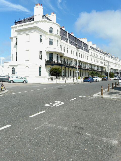
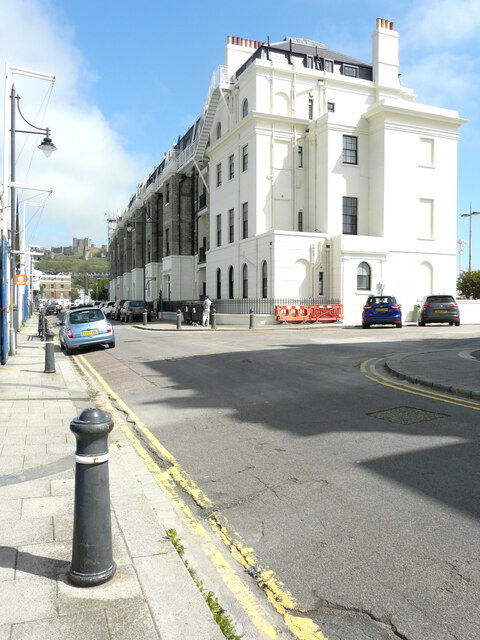
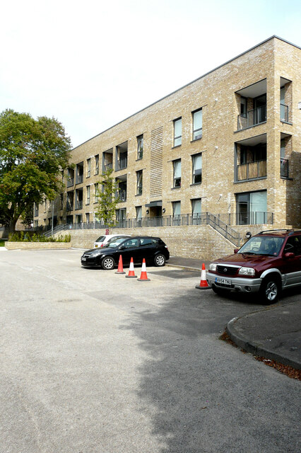
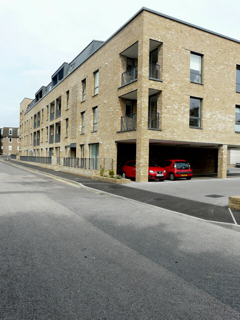
Fox Hill Down Images

Images are sourced within 2km of 51.132217/1.3338949 or Grid Reference TR3342. Thanks to Geograph Open Source API. All images are credited.

National Westminster Bank, Market Square There are plans to remove these telephone kiosks and to replace them with a single kiosk.
National Westminster Bank, Market Square
There are plans to remove these telephone kiosks and to replace them with a single kiosk.
Craighton House, Castle Street Planning permission has been granted by Dover District Council under application number DOV/21/00689 for the “re-siting of BT public telephone kiosks” 

It appears that they will be erected, on the pavement, outside the British Heart Foundation outlet.
Craighton House, Castle Street
Planning permission has been granted by Dover District Council under application number DOV/21/00689 for the “re-siting of BT public telephone kiosks” It appears that they will be erected, on the pavement, outside the British Heart Foundation outlet.
Dover Town Hall Extensive work is being undertaken to this historic building and planning permission has been granted for listed building consent by Dover District Council under application numbers DOV/20/00536 and DOV/20/00537. 

The scaffolding on <a href="https://www.geograph.org.uk/photo/6846130">TR3141 : Dover Town Hall</a>, below the flagpole, has been dismantled but now further scaffolding has been erected on the building below the clock.
Dover Town Hall
Extensive work is being undertaken to this historic building and planning permission has been granted for listed building consent by Dover District Council under application numbers DOV/20/00536 and DOV/20/00537. The scaffolding on TR3141 : Dover Town Hall, below the flagpole, has been dismantled but now further scaffolding has been erected on the building below the clock.
Dover Bowling Club Pavilion, Maison Dieu Gardens This view shows <a href="https://www.geograph.org.uk/photo/6803177">TR3141 : Dover Bowling Club Pavilion, Maison Dieu Gardens</a> before the installation of replacement double doors. The former doors were painted blue; now they are white.
Dover Bowling Club Pavilion, Maison Dieu Gardens
This view shows TR3141 : Dover Bowling Club Pavilion, Maison Dieu Gardens before the installation of replacement double doors. The former doors were painted blue; now they are white.
55-57, High Street The shop used to be an Iceland Foods outlet.
55-57, High Street
The shop used to be an Iceland Foods outlet.
Market Square Archaeological Dig The noticeboard read: We’re digging into the past to explore the archaeology of the Market Square ahead of a revamp this autumn that will see a new performance space, water feature and improved public realm for all to enjoy. 

Come and see Canterbury Archaeological Trust at work and then visit Dover Museum and Visitor Centre in the Market Square to find out about any finds and Dover’s amazing history. 

market.square@dover.gov.uk
Market Square Archaeological Dig
The noticeboard read: We’re digging into the past to explore the archaeology of the Market Square ahead of a revamp this autumn that will see a new performance space, water feature and improved public realm for all to enjoy. Come and see Canterbury Archaeological Trust at work and then visit Dover Museum and Visitor Centre in the Market Square to find out about any finds and Dover’s amazing history. market.square@dover.gov.uk
Waterloo Mansions, Waterloo Crescent This was <a href="https://www.geograph.org.uk/photo/6161729">TR3141 : Waterloo Mansions, Waterloo Crescent</a> during the building’s refurbishment.
Waterloo Mansions, Waterloo Crescent
This was TR3141 : Waterloo Mansions, Waterloo Crescent during the building’s refurbishment.
Waterloo Mansions, Waterloo Crescent This was <a href="https://www.geograph.org.uk/photo/6137921">TR3141 : Waterloo Mansions, Waterloo Crescent</a> during the building’s refurbishment; viewed from Cambridge Road.
Waterloo Mansions, Waterloo Crescent
This was TR3141 : Waterloo Mansions, Waterloo Crescent during the building’s refurbishment; viewed from Cambridge Road.
64-120, Harold Street These were the flats in <a href="https://www.geograph.org.uk/photo/6351349">TR3141 : Harold Street</a> during their construction.
64-120, Harold Street
These were the flats in TR3141 : Harold Street during their construction.
1-24, Bomford House, Harold Street This was <a href="https://www.geograph.org.uk/photo/6353435">TR3142 : Bomford House</a> during the flats’ construction.
1-24, Bomford House, Harold Street
This was TR3142 : Bomford House during the flats’ construction.
Dover PRIDE event The participants gathered on Roman Lawn at the far end of Market Street.
Dover PRIDE event
The participants gathered on Roman Lawn at the far end of Market Street.
Super Pizza, 2, Cannon Street The outlet used to be a <a href="https://www.geograph.org.uk/photo/6617632">TR3141 : Betfred Shop, 2, Cannon Street</a>.
Super Pizza, 2, Cannon Street
The outlet used to be a TR3141 : Betfred Shop, 2, Cannon Street.
Park Place These two recharging points for electric vehicles have recently been installed on the pavement outside Dover police station.
Park Place
These two recharging points for electric vehicles have recently been installed on the pavement outside Dover police station.
Holland & Barrett, Unit 6c, St James Street This was the location of <a href="https://www.geograph.org.uk/photo/6888893">TR3141 : Holland & Barrett, 35, Biggin Street</a>, before the shop moved to St James Retail Park.
Holland & Barrett, Unit 6c, St James Street
This was the location of TR3141 : Holland & Barrett, 35, Biggin Street, before the shop moved to St James Retail Park.
Sunshine Co., Unit 5c, St James Street The outlet is a tanning salon.
Sunshine Co., Unit 5c, St James Street
The outlet is a tanning salon.
35 Biggin Street This vacant shop used to be <a href="https://www.geograph.org.uk/photo/6888893">TR3141 : Holland & Barrett, 35, Biggin Street</a>. It became vacant following a move to <a href="https://www.geograph.org.uk/photo/7002607">TR3241 : Holland & Barrett, Unit 6c, St James Street</a>.
35 Biggin Street
This vacant shop used to be TR3141 : Holland & Barrett, 35, Biggin Street. It became vacant following a move to TR3241 : Holland & Barrett, Unit 6c, St James Street.
Market in Market Square No trace of the <a href="https://www.geograph.org.uk/photo/6951494">TR3141 : Market Square Archaeological Dig</a> is visible, it has been buried under a layer of tarmac.
Market in Market Square
No trace of the TR3141 : Market Square Archaeological Dig is visible, it has been buried under a layer of tarmac.
Paxsin Commercial & Domestic Cleaning & Suppliers, 1-2, King Street This was <a href="https://www.geograph.org.uk/photo/6702733">TR3141 : 1-2, King Street</a>, when the premises were vacant.
Paxsin Commercial & Domestic Cleaning & Suppliers, 1-2, King Street
This was TR3141 : 1-2, King Street, when the premises were vacant.
Show me another place!

Fox Hill Down is located at Grid Ref: TR3342 (Lat: 51.132217, Lng: 1.3338949)

Administrative County: Kent

District: Dover

Police Authority: Kent

What 3 Words

///rudder.peach.conducted. Near Dover, Kent

Related Wikis

Swingate, Kent

Swingate is a village near Dover in Kent, England. The population of the village is included in the civil parish of Sutton. == See also == Swingate transmitting...

Swingate transmitting station

The Swingate transmitting station is a facility for FM-transmission in the village of Swingate, near Dover, Kent (grid reference TR334429). For many years...

HMS Codrington

HMS Codrington was one of nine A-class destroyers built for the Royal Navy during the 1920s. She was the flotilla leader for the class. During the Second...

St Mary sub Castro, Dover

St Mary sub Castro (i. e. "St Mary below the Castle"), or St Mary de Castro, or St Mary in Castro ("St Mary in the Castle"), is a church in the grounds...

Dubris

Dubris, also known as Portus Dubris and Dubrae, was a port in Roman Britain on the site of present-day Dover, Kent, England. As the closest point to continental...

Dover Castle

Dover Castle is a medieval castle in Dover, Kent, England and is Grade I listed. It was founded in the 11th century and has been described as the "Key...

Langdon Bay Wreck

The remains of a Middle Bronze Age vessel were identified in Langdon Bay, Kent, England in 1974. The site was designated under the Protection of Wrecks...

RAF Swingate Down

Royal Air Force Swingate Down or more simply RAF Swingate Down is a former Royal Air Force Chain Home Low radar station operational during the Second World...

Nearby Amenities

Located within 500m of 51.132217,1.3338949
Millennium Milepost Langdon Cliffs
Bicycle: yes
Description: 1) Dover 1.5 2) Inverness 1194, Deal 8
Image: https://www.cyclestreets.net/location/185600/cyclestreets185600.jpg
Information: guidepost
Ncn Milepost: mccoll
Sustrans Ref: MP 833
Tourism: information
Lat/Long: 51.1325519/1.3378075
Barrier: kissing_gate
Bicycle: permissive
Foot: permissive
Horse: no
Motor Vehicle: no
Lat/Long: 51.1319037/1.3358619
Barrier: kissing_gate
Bicycle: permissive
Foot: permissive
Horse: no
Motor Vehicle: no
Lat/Long: 51.1325747/1.3378264
Barrier: kissing_gate
Bicycle: permissive
Foot: permissive
Horse: no
Motor Vehicle: no
Lat/Long: 51.1333659/1.3384088
Tourism: viewpoint
Lat/Long: 51.1304946/1.3369207
Police
Lat/Long: 51.1292192/1.3337861
Crossing
Lat/Long: 51.12935/1.3389687
Crossing
Lat/Long: 51.1289758/1.3374165
Crossing
Crossing: uncontrolled
Crossing Markings: yes
Lat/Long: 51.1303849/1.3391106
Crossing
Lat/Long: 51.129277/1.3385747
Barrier: fence
Board Type: notice
Description: No access to the port or city centre
Information: board
Tourism: information
Lat/Long: 51.1290333/1.3323235
Barrier: kissing_gate
Bicycle: no
Foot: permissive
Horse: no
Motor Vehicle: no
Lat/Long: 51.129703/1.3336226
Crossing
Lat/Long: 51.1298915/1.3381719
Barrier: border_control
Lat/Long: 51.1293259/1.3359941
Barrier: border_control
Lat/Long: 51.1291157/1.334731
Barrier: border_control
Lat/Long: 51.1291794/1.3346915
Barrier: border_control
Lat/Long: 51.129058/1.3347721
Crossing
Crossing: uncontrolled
Crossing Markings: yes
Lat/Long: 51.130256/1.339796
Barrier: border_control
Lat/Long: 51.129276/1.3346304
Crossing
Crossing: uncontrolled
Crossing Markings: yes
Crossing Signals: no
Lat/Long: 51.1300716/1.339898
Crossing
Crossing: uncontrolled
Crossing Markings: yes
Lat/Long: 51.130374/1.3397364
Barrier: border_control
Lat/Long: 51.1292321/1.3346627
Toilets
Access: yes
Fee: no
Opening Hours: Please check the National Trust website for current opening times
Operator: National Trust
Operator Type: charitable
Operator Wikidata: Q333515
Lat/Long: 51.1316099/1.3373195
Crossing
Lat/Long: 51.1289428/1.3371797
Noexit: yes
Lat/Long: 51.1297691/1.3389793
Crossing
Lat/Long: 51.1289156/1.3372323
Crossing
Lat/Long: 51.1289001/1.3374347
Bench
Backrest: yes
Material: wood
Lat/Long: 51.130332/1.33537
Crossing
Lat/Long: 51.1295863/1.3380969
Crossing
Lat/Long: 51.1300175/1.3385076
Crossing
Lat/Long: 51.1300882/1.3385206
Crossing
Lat/Long: 51.1301683/1.3384471
Crossing
Lat/Long: 51.1301887/1.3388528
Crossing
Lat/Long: 51.1302097/1.3387208
Crossing
Crossing: uncontrolled
Crossing Markings: yes
Crossing Signals: no
Lat/Long: 51.1304192/1.339361
Crossing
Lat/Long: 51.1296521/1.3375071
Noexit: yes
Lat/Long: 51.1297897/1.3377459
Noexit: yes
Lat/Long: 51.1290584/1.3367435
Crossing
Lat/Long: 51.1295075/1.337179
Noexit: yes
Lat/Long: 51.129724/1.3371281
Give Way
Lat/Long: 51.129848/1.3383373
Crossing
Lat/Long: 51.1283243/1.3357162
Crossing
Crossing: unmarked
Crossing Markings: no
Tactile Paving: no
Lat/Long: 51.1296651/1.3356037
Crossing
Crossing: unmarked
Crossing Markings: no
Tactile Paving: no
Lat/Long: 51.1295892/1.3356482
Crossing
Crossing: unmarked
Crossing Markings: no
Tactile Paving: no
Lat/Long: 51.129524/1.3357055
Crossing
Crossing: uncontrolled
Crossing Markings: yes
Lat/Long: 51.1293946/1.3357694
Crossing
Crossing: uncontrolled
Crossing Markings: yes
Lat/Long: 51.1294692/1.3357431
Crossing
Crossing: uncontrolled
Crossing Markings: yes
Lat/Long: 51.1292881/1.3358399
Crossing
Lat/Long: 51.1283046/1.3338575
Crossing
Lat/Long: 51.1281059/1.3339346
Crossing
Lat/Long: 51.1285389/1.3342089
Crossing
Lat/Long: 51.1286116/1.3342106
Crossing
Crossing: marked
Crossing Markings: zebra
Lat/Long: 51.1283853/1.3338082
Crossing
Lat/Long: 51.1284435/1.3356244
Crossing
Lat/Long: 51.129655/1.3371618
Noexit: yes
Lat/Long: 51.1297703/1.3375224
Crossing
Lat/Long: 51.129355/1.3367861
Bench
Backrest: yes
Direction: S
Material: wood
Seats: 3
Lat/Long: 51.1313106/1.3407872
Boot Wash
Lat/Long: 51.1316422/1.337365
National Trust White Cliffs of Dover
Operator: National Trust
Tourism: attraction
Lat/Long: 51.1315733/1.3374504
Leisure: picnic_table
Lat/Long: 51.132304/1.3369635
Bench
Backrest: no
Direction: S
Material: wood
Seats: 3
Lat/Long: 51.1323338/1.3374719
Leisure: picnic_table
Lat/Long: 51.1323326/1.3376059
Waste Basket
Lat/Long: 51.1315143/1.3377104
Waste Basket
Lat/Long: 51.1314944/1.3372033
Bench
Backrest: no
Direction: S
Lat/Long: 51.1312133/1.3399833
Barrier: kissing_gate
Bicycle: no
Foot: permissive
Horse: no
Motor Vehicle: no
Lat/Long: 51.1304861/1.3335796
Barrier: kissing_gate
Bicycle: no
Foot: permissive
Horse: no
Motor Vehicle: no
Lat/Long: 51.1298593/1.3325997
Barrier: kissing_gate
Bicycle: no
Foot: permissive
Horse: no
Motor Vehicle: no
Lat/Long: 51.1293226/1.3317382
Man Made: mast
Tower Type: lighting
Lat/Long: 51.128019/1.3359643
Man Made: mast
Tower Type: lighting
Lat/Long: 51.1298991/1.3399755
Man Made: mast
Tower Type: lighting
Lat/Long: 51.129053/1.3367733
Barrier: border_control
Lat/Long: 51.1291459/1.3351128
Barrier: border_control
Lat/Long: 51.1292045/1.3350737
Barrier: border_control
Lat/Long: 51.1292633/1.3350352
Barrier: border_control
Lat/Long: 51.1293211/1.3349966
Barrier: border_control
Lat/Long: 51.1293616/1.3349651
Man Made: mast
Tower Type: lighting
Lat/Long: 51.1287505/1.3345179
Toilets
Fee: no
Lat/Long: 51.1287294/1.3375452
Give Way
Direction: forward
Lat/Long: 51.1283443/1.3358375
Give Way
Direction: forward
Lat/Long: 51.128913/1.3374899
The data included in this document is from www.openstreetmap.org. The data is made available under ODbL.

Have you been to Fox Hill Down?

Leave your review of Fox Hill Down below (or comments, questions and feedback).