Lydden Valley
Valley in Kent Dover
England
Lydden Valley
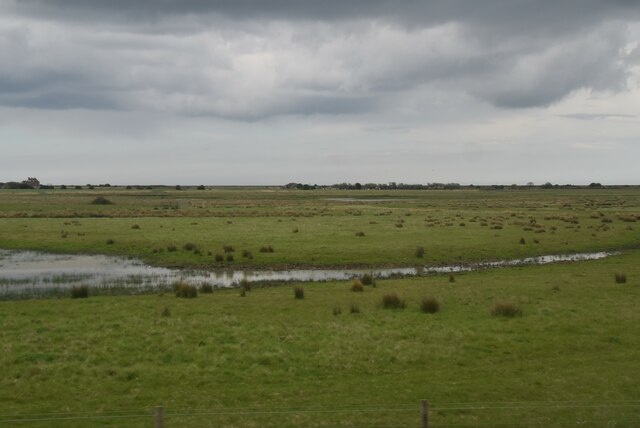
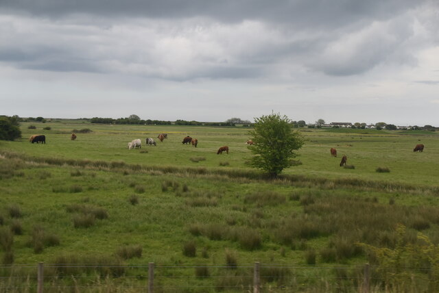
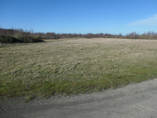
Lydden Valley, located in Kent, England, is a picturesque and idyllic area nestled within the beautiful countryside. Spanning across an approximate area of 10 square miles, the valley is renowned for its stunning natural beauty and tranquil atmosphere.
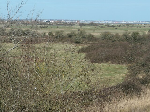
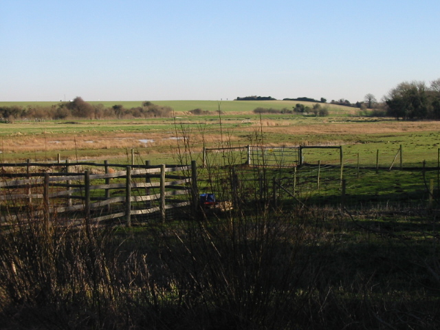
The valley is surrounded by rolling hills and lush green meadows, creating a breathtaking landscape that is a haven for nature lovers and outdoor enthusiasts. The River Dour flows through the valley, adding to its charm and providing a serene setting for leisurely walks and picnics.
Lydden Valley is also home to a diverse range of flora and fauna, making it a popular spot for wildlife enthusiasts. The valley is filled with an array of wildflowers, including bluebells, primroses, and cowslips, which create a vibrant and colorful display during the spring months. It is not uncommon to spot various bird species, such as kingfishers and herons, along the riverbanks.
The valley is also steeped in history, with several ancient landmarks and archaeological sites scattered throughout the area. One notable site is the Lydden Spout, a natural spring that has been in existence for centuries and was once used as a water source by the local community.
In terms of amenities, Lydden Valley offers a range of facilities to cater to the needs of residents and visitors. There are quaint country pubs and charming bed and breakfast accommodations that provide a warm and welcoming atmosphere.
Overall, Lydden Valley is a hidden gem in Kent, offering a peaceful retreat from the bustling city life and providing a sanctuary for nature lovers and history enthusiasts alike.
If you have any feedback on the listing, please let us know in the comments section below.
Lydden Valley Images
Images are sourced within 2km of 51.248075/1.3640594 or Grid Reference TR3455. Thanks to Geograph Open Source API. All images are credited.
![Colliers Gate The access between South Wall and Betteshanger [Country] Park. This site was originally Foulmead Marsh, and then the spoil heap for Betteshanger Colliery. The pit opened in the late 1920s and closed in 1989. Fowlmead Park and nature reserve opened here in May 2007. When it was taken over by the Hadlow Group in May 2015, it was renamed Betteshanger Country Park. More recently the 'Country' has been dropped.](https://s3.geograph.org.uk/geophotos/07/10/80/7108035_0cca653b.jpg)
![Path and trail junction, Betteshanger [Country] Park This site was originally Foulmead Marsh, and then the spoil heap for Betteshanger Colliery. The pit opened in the late 1920s and closed in 1989. Fowlmead Park and nature reserve opened here in May 2007. When it was taken over by the Hadlow Group in May 2015, it was renamed Betteshanger Country Park. More recently the 'Country' has been dropped. The wide path is a 'leisure path' for pedestrians. The narrow trail is a mountain bike trail. Blue trails are entry level, red ones advanced.](https://s3.geograph.org.uk/geophotos/07/10/80/7108039_cf790219.jpg)
![Sandhills Caravan Park, near Deal Seen from Betteshanger [Country] Park, a former colliery spoil heap.](https://s0.geograph.org.uk/geophotos/07/10/80/7108044_d0e20d3a.jpg)
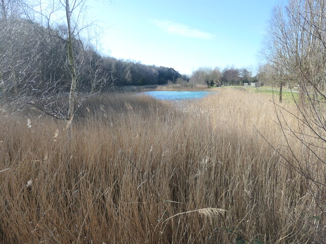
![Blue Lake, Betteshanger [Country] Park This site was originally Foulmead Marsh, and then the spoil heap for Betteshanger Colliery. The pit opened in the late 1920s and closed in 1989. Fowlmead Park and nature reserve opened here in May 2007. When it was taken over by the Hadlow Group in May 2015, it was renamed Betteshanger Country Park. More recently the 'Country' has been dropped. The 'Blue Lake' is designed to filter contaminants coming from the former spoil heap.](https://s1.geograph.org.uk/geophotos/07/10/80/7108049_86a53ebe.jpg)
![Changing the landscape at Betteshanger [Country] Park This site was originally Foulmead Marsh, and then the spoil heap for Betteshanger Colliery. The pit opened in the late 1920s and closed in 1989. Fowlmead Park and nature reserve opened here in May 2007. When it was taken over by the Hadlow Group in May 2015, it was renamed Betteshanger Country Park. More recently the 'Country' has been dropped. The purpose of this civil engineering is unclear.](https://s3.geograph.org.uk/geophotos/07/10/80/7108051_7778c807.jpg)
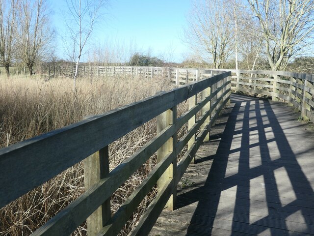
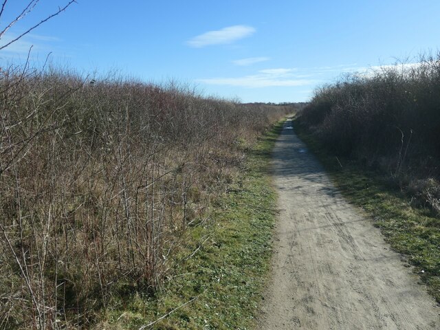
![Leisure path, Betteshanger [Country] Park This site was originally Foulmead Marsh, and then the spoil heap for Betteshanger Colliery. The pit opened in the late 1920s and closed in 1989. Fowlmead Park and nature reserve opened here in May 2007. When it was taken over by the Hadlow Group in May 2015, it was renamed Betteshanger Country Park. More recently the 'Country' has been dropped. The leisure paths are open to walkers and cyclists.](https://s1.geograph.org.uk/geophotos/07/10/80/7108053_10547af2.jpg)
![Signage, Betteshanger [Country] Park This site was originally Foulmead Marsh, and then the spoil heap for Betteshanger Colliery. The pit opened in the late 1920s and closed in 1989. Fowlmead Park and nature reserve opened here in May 2007. When it was taken over by the Hadlow Group in May 2015, it was renamed Betteshanger Country Park. More recently the 'Country' has been dropped. All the signs say 'Betteshanger Country Park'.](https://s2.geograph.org.uk/geophotos/07/10/80/7108054_ca388146.jpg)
![Steps to the new visitor centre, Betteshanger [Country] Park This site was originally Foulmead Marsh, and then the spoil heap for Betteshanger Colliery. The pit opened in the late 1920s and closed in 1989. Fowlmead Park and nature reserve opened here in May 2007. When it was taken over by the Hadlow Group in May 2015, it was renamed Betteshanger Country Park. More recently the 'Country' has been dropped. The old visitor centre was demolished in November 2018. The replacement is still incomplete [February 2022].](https://s3.geograph.org.uk/geophotos/07/10/80/7108055_3299d489.jpg)
![Leisure path, Betteshanger [Country] Park This site was originally Foulmead Marsh, and then the spoil heap for Betteshanger Colliery. The pit opened in the late 1920s and closed in 1989. Fowlmead Park and nature reserve opened here in May 2007. When it was taken over by the Hadlow Group in May 2015, it was renamed Betteshanger Country Park. More recently the 'Country' has been dropped. Leisure paths are for walkers and cyclists. This one follows the perimeter of 'The Meadow'.](https://s1.geograph.org.uk/geophotos/07/10/80/7108057_889eda3d.jpg)
![Earthmoving at Betteshanger [Country] Park This site was originally Foulmead Marsh, and then the spoil heap for Betteshanger Colliery. The pit opened in the late 1920s and closed in 1989. Fowlmead Park and nature reserve opened here in May 2007. When it was taken over by the Hadlow Group in May 2015, it was renamed Betteshanger Country Park. More recently the 'Country' has been dropped. Presumably colliery spoil makes the earth so dark.](https://s2.geograph.org.uk/geophotos/07/10/80/7108090_1edff50e.jpg)
![You are here, Betteshanger [Country] Park This site was originally Foulmead Marsh, and then the spoil heap for Betteshanger Colliery. The pit opened in the late 1920s and closed in 1989. Fowlmead Park and nature reserve opened here in May 2007. When it was taken over by the Hadlow Group in May 2015, it was renamed Betteshanger Country Park. More recently the 'Country' has been dropped. All these signs say Betteshanger Country Park.](https://s0.geograph.org.uk/geophotos/07/10/80/7108096_51b75c99.jpg)
Lydden Valley is located at Grid Ref: TR3455 (Lat: 51.248075, Lng: 1.3640594)
Administrative County: Kent
District: Dover
Police Authority: Kent
What 3 Words
///trader.closes.shredder. Near Sandwich, Kent
Nearby Locations
Related Wikis

Betteshanger Park
Betteshanger Park (formerly Fowlmead Country Park and Betteshanger Country Park) is a park near Deal, in Kent, England. It covers the site of a former...

Hacklinge
Hacklinge is a village near Deal in Kent, England. The population of the village is included in the civil parish of Northbourne. It lies next to the A258...

Worth, Kent
Worth is a village and civil parish in the Dover District of Kent, England, situated near Sandwich. It has two public houses, a church, and a school. According...

Finglesham Anglo-Saxon cemetery
Finglesham Anglo-Saxon cemetery is a place of burial that was used from the sixth to the eighth centuries CE. It is located adjacent to the village of...
Ham Fen
Ham Fen is a 41-hectare (100-acre) nature reserve south of Sandwich in Kent. It is one of Kent Wildlife Trust's nature reserves and is being extended...

Finglesham
Finglesham is a village in the civil parish of Northbourne, and near Deal in Kent, England, which was the location of the Finglesham Anglo-Saxon cemetery...
Marley, Dover
Marley is a hamlet near the town of Deal in Kent, England. It is located about three miles (4.8 km) west of the town, on a minor road off the A258 road...

Ham, Kent
Ham is a village and former civil parish, now in the parish of Northbourne, in the Dover district, in the county of Kent, England. It is near the town...
Nearby Amenities
Located within 500m of 51.248075,1.3640594Have you been to Lydden Valley?
Leave your review of Lydden Valley below (or comments, questions and feedback).