Acre Bottom
Valley in Norfolk Breckland
England
Acre Bottom
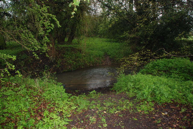
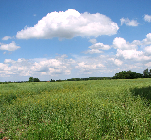
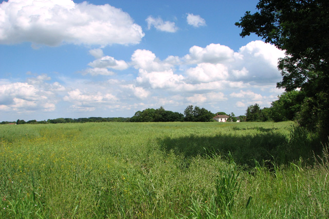
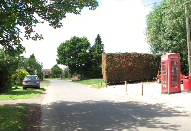
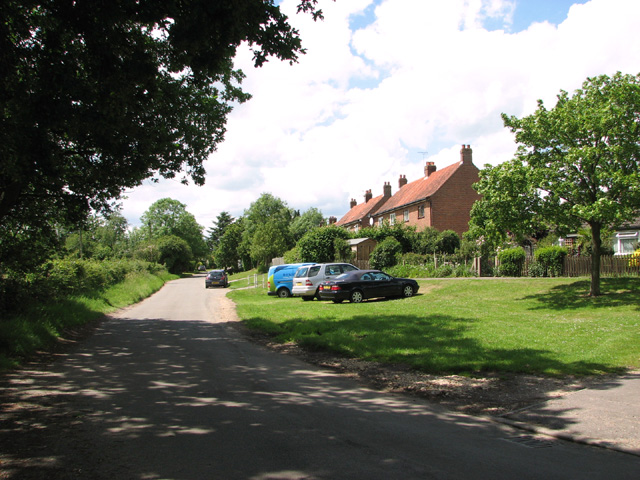
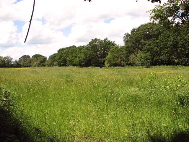
Acre Bottom, Norfolk (Valley) is a picturesque rural area located in the county of Norfolk, England. Situated in the eastern part of the country, this idyllic valley is renowned for its natural beauty and tranquil surroundings. The area is characterized by rolling hills, lush green meadows, and the meandering River Wensum, which adds to the charm of the landscape.
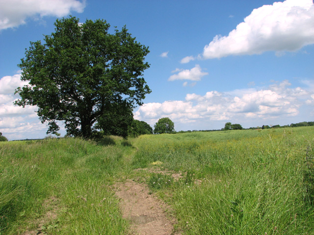
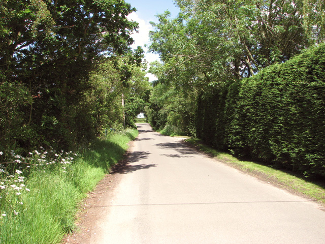
Acre Bottom is a popular destination for nature enthusiasts and outdoor enthusiasts alike. The valley offers a plethora of activities such as hiking, cycling, birdwatching, and fishing. The well-maintained trails that crisscross the valley allow visitors to explore its breathtaking scenery, including ancient woodlands, wildflower meadows, and stunning viewpoints.
Wildlife is abundant in Acre Bottom, making it a haven for animal lovers. The valley is home to a diverse range of species, including deer, otters, kingfishers, and a variety of bird species. This makes it an ideal spot for nature photography and wildlife observation.
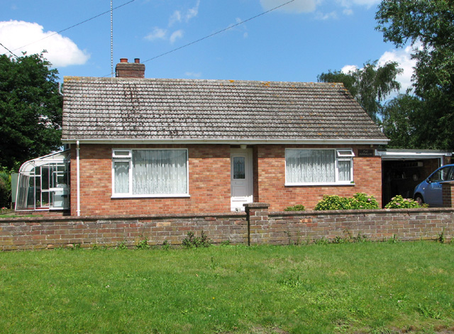
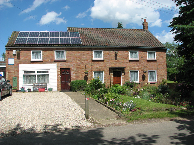
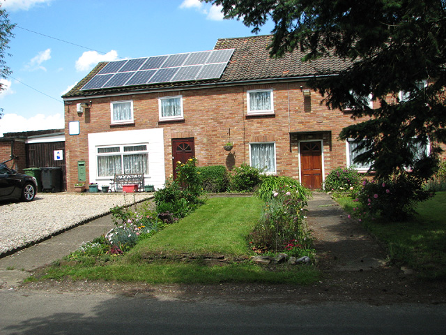
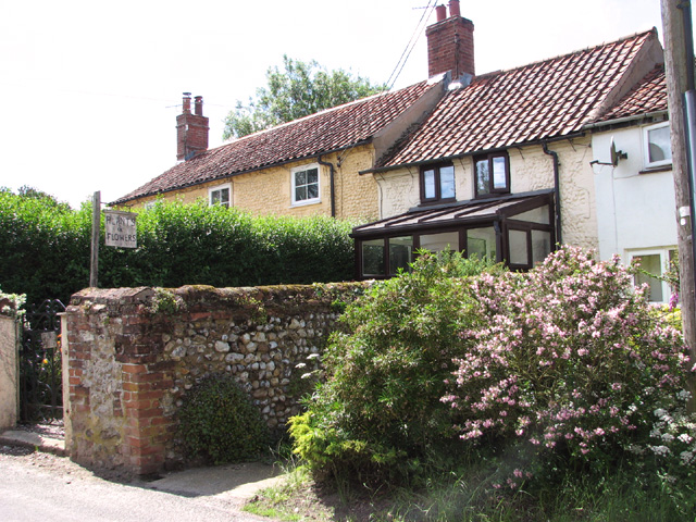
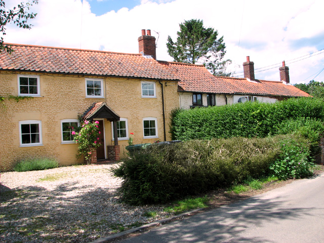
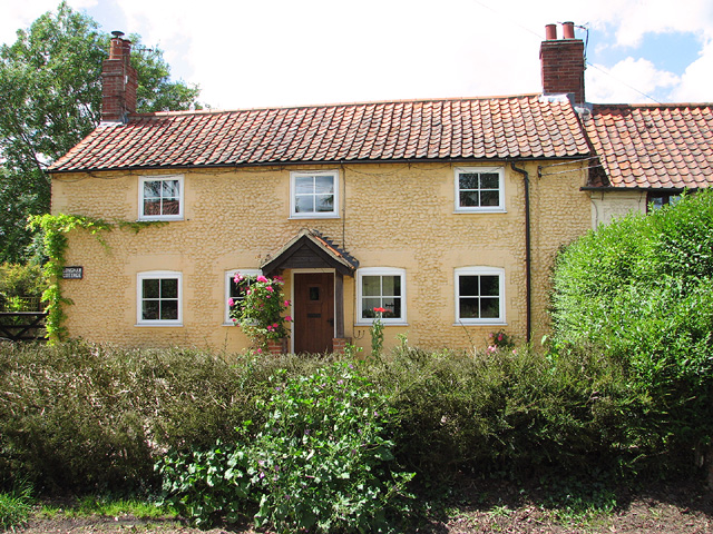
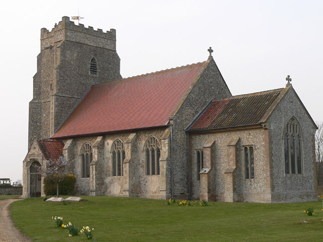
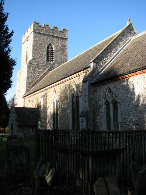
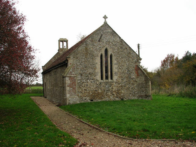
In addition to its natural beauty, Acre Bottom also boasts a rich history. The area is dotted with historic sites and landmarks, including medieval churches, ancient ruins, and traditional Norfolk cottages. These remnants of the past provide a glimpse into the region's cultural heritage.
Overall, Acre Bottom, Norfolk (Valley) is a hidden gem that offers a peaceful retreat from the hustle and bustle of modern life. With its stunning landscapes, abundant wildlife, and rich history, it is a must-visit destination for anyone seeking a true countryside experience in Norfolk.
If you have any feedback on the listing, please let us know in the comments section below.
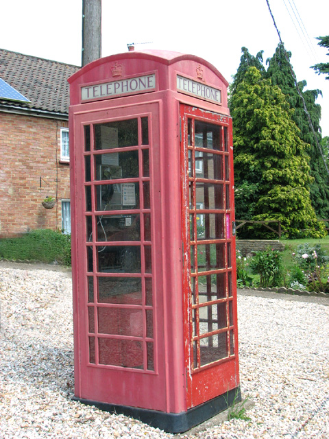
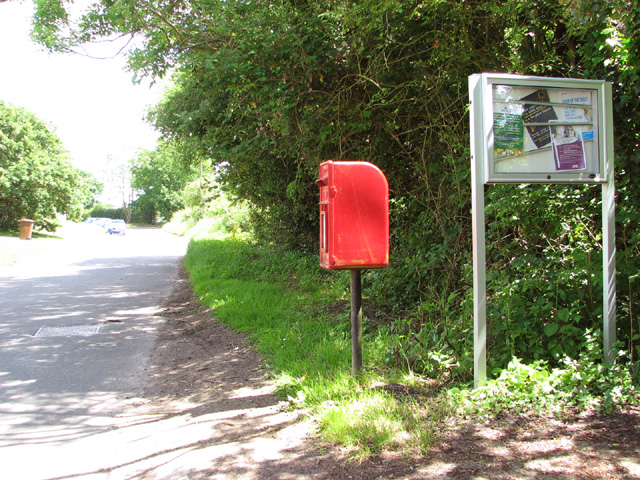
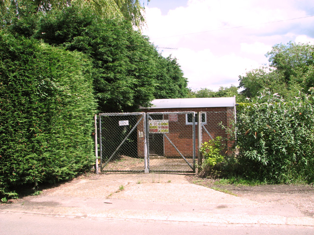
Acre Bottom Images
Images are sourced within 2km of 52.705217/0.89303076 or Grid Reference TF9515. Thanks to Geograph Open Source API. All images are credited.
Acre Bottom is located at Grid Ref: TF9515 (Lat: 52.705217, Lng: 0.89303076)
Administrative County: Norfolk
District: Breckland
Police Authority: Norfolk
What 3 Words
///jigsaw.cheater.haggling. Near East Dereham, Norfolk
Nearby Locations
Related Wikis

Gressenhall
Gressenhall is a village and civil parish in the English county of Norfolk. The villages name origin is uncertain possibly 'Grassy nook of land' or 'gravelly...
Longham
Longham is a village situated in the Breckland District of Norfolk and covers an area of 540 hectares (2.1 square miles) with a population of 219 in 100...

Dillington Carr
Dillington Carr is a 55-hectare (140-acre) biological Site of Special Scientific Interest north of Dereham in Norfolk.This valley in a tributary of the...

Mitford and Launditch Rural District
Mitford and Launditch Rural District was a rural district in Norfolk, England from 1894 to 1974.It was formed under the Local Government Act 1894 based...
Beetley
Beetley is a village and civil parish in the Breckland district of Norfolk, England. According to the 2011 census the parish had a population of 1,396...
Bittering, Norfolk
Bittering is a hamlet in the county of Norfolk, England, now in the civil parish of Beeston with Bittering. It lies west of East Dereham and south of Fakenham...

Hoe Rough
Hoe Rough is a 12-hectare (30-acre) nature reserve north of Dereham in Norfolk. It is managed by the Norfolk Wildlife Trust, and is part of the Beetley...

Dereham Rush Meadow
Dereham Rush Meadow is a 22.2-hectare (55-acre) biological Site of Special Scientific Interest north-west of Dereham in Norfolk.This is an area of grassland...
Nearby Amenities
Located within 500m of 52.705217,0.89303076Have you been to Acre Bottom?
Leave your review of Acre Bottom below (or comments, questions and feedback).