The Bottoms

Valley in Essex Colchester

England

The Bottoms

Looking Back Towards Bures On Bures St Mary Footpath 14
Looking Back Towards Bures Credit: Glyn Baker

The Bottoms, Essex (Valley) is a small and picturesque village located in the county of Essex, England. Situated in the valley of a river, the village is known for its stunning natural beauty and tranquil atmosphere.

With a population of around 500 residents, The Bottoms offers a tight-knit community feel, where neighbors know each other and foster a strong sense of belonging. The village is characterized by its charming cottages, well-manicured gardens, and quaint streets lined with trees.

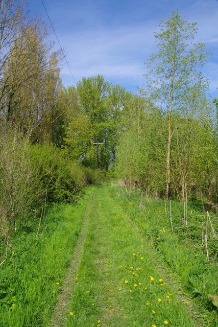
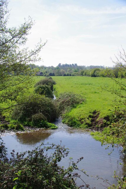
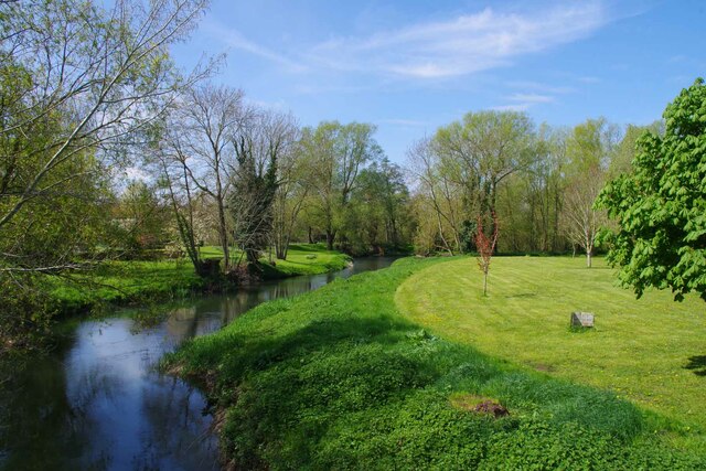
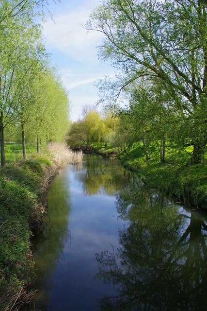
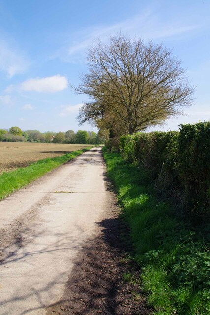
The centerpiece of The Bottoms is the river that flows through the valley, providing a scenic backdrop and an abundance of recreational activities for residents and visitors alike. The river is a popular spot for fishing enthusiasts, with various species of fish found in its waters.

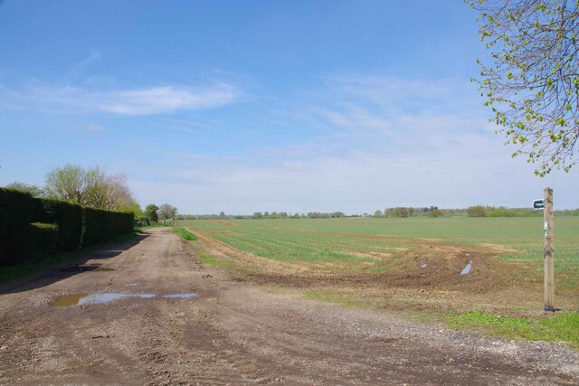
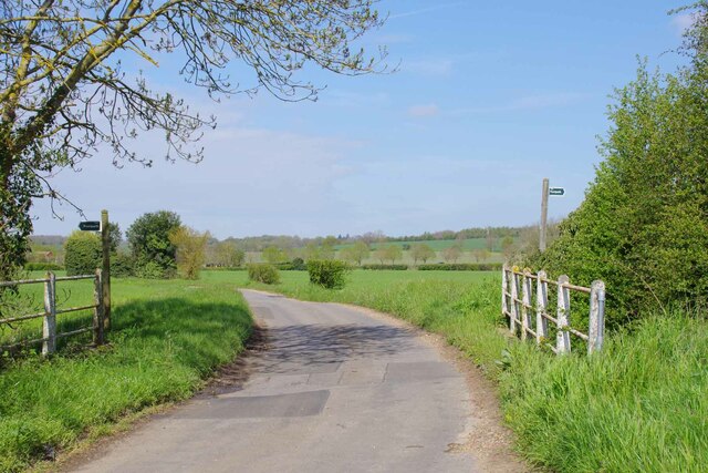
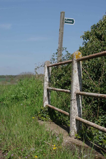
The village also boasts several amenities and services to cater to the needs of its residents. These include a village hall, a local pub, a primary school, and a small convenience store. Residents can also enjoy various walking trails and cycling paths that crisscross the surrounding countryside, offering breathtaking views of the valley and its lush greenery.

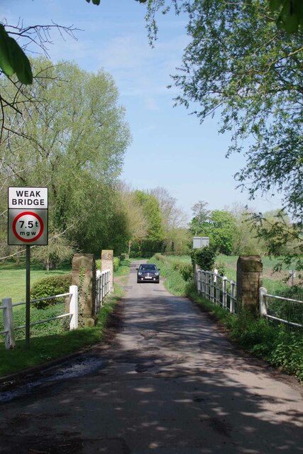
The Bottoms is conveniently located within close proximity to larger towns and cities, making it an ideal place for those seeking a peaceful and idyllic lifestyle while still being within reach of urban amenities. The village's natural beauty combined with its strong sense of community make it an attractive place to live or visit for nature lovers and those looking for a slower pace of life.

If you have any feedback on the listing, please let us know in the comments section below.
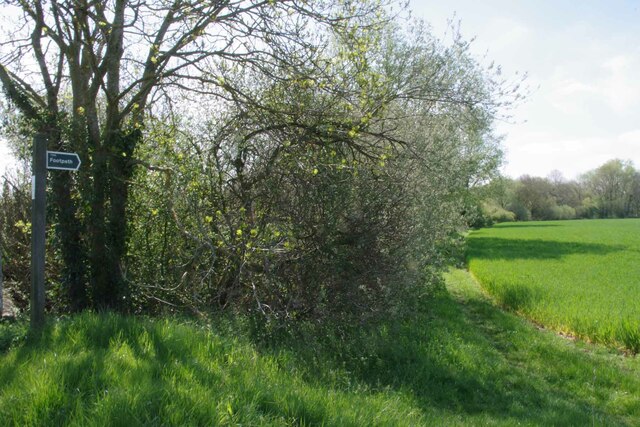
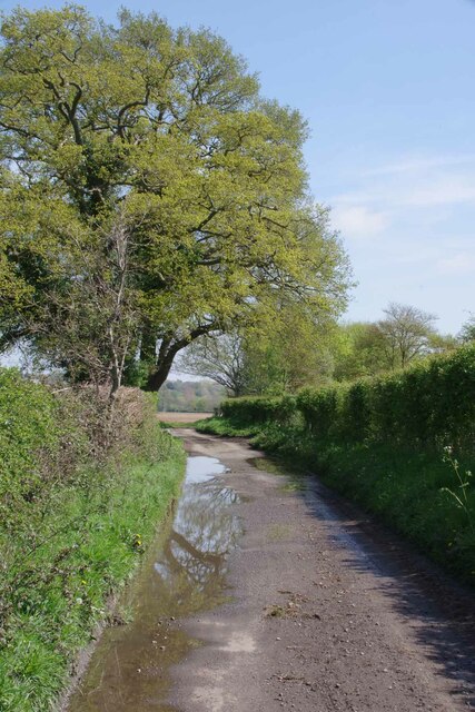
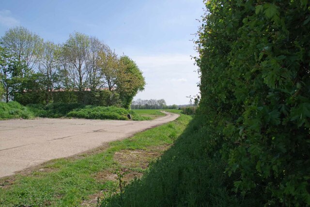
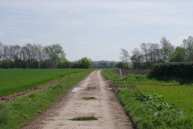
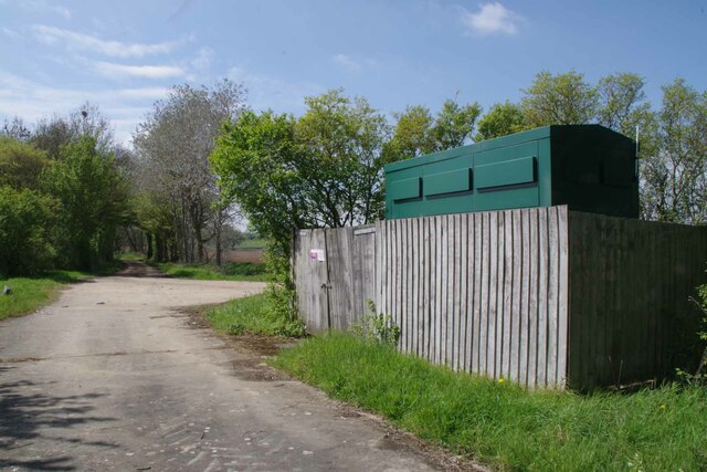
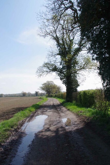
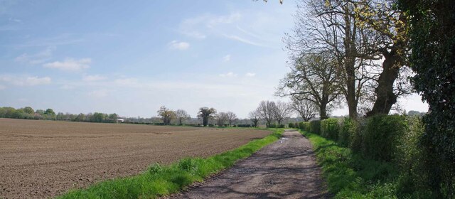
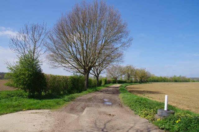
The Bottoms Images

Images are sourced within 2km of 51.954451/0.80860699 or Grid Reference TL9332. Thanks to Geograph Open Source API. All images are credited.

Looking Back Towards Bures On Bures St Mary Footpath 14
Looking Back Towards Bures
On Bures St Mary Footpath 14
Brook by the Bures Rd Looking across the watermeadows towards the River Stour.
Brook by the Bures Rd
Looking across the watermeadows towards the River Stour.
Footpath by Smallbridge Farm Looking back towards <a href="https://www.geograph.org.uk/photo/7471180">TL9133 : Bures St Mary Footpath 14</a>
Footpath by Smallbridge Farm
Looking back towards TL9133 : Bures St Mary Footpath 14
Wormingford Bridge The maps do not fib it is a "Smallbridge".
Wormingford Bridge
The maps do not fib it is a "Smallbridge".
Stour from Wormingford Bridge Looking upstream Essex to the left Suffolk to the right.
Stour from Wormingford Bridge
Looking upstream Essex to the left Suffolk to the right.
Downstream from Wormingford Bridge The River Stour with Suffolk on the left and Essex on the right.
Downstream from Wormingford Bridge
The River Stour with Suffolk on the left and Essex on the right.
Bridge over a Drainage Ditch A choice of footpaths.
Bridge over a Drainage Ditch
A choice of footpaths.
Footpath Fingerpost Taken from <a href="https://www.geograph.org.uk/photo/7471251">TL9333 : Bridge over a Drainage Ditch</a>
Footpath Fingerpost
Footpath to Smallbridge Hall One of the fingerposts shown in <a href="https://www.geograph.org.uk/photo/7471251">TL9333 : Bridge over a Drainage Ditch</a>
Footpath to Smallbridge Hall
One of the fingerposts shown in TL9333 : Bridge over a Drainage Ditch
Bowdens Lane A no through road for motor vehicles.
Bowdens Lane
A no through road for motor vehicles.
Wormingford Bridleway 25 This bridleway joins with a byway near Little Horkesley
Wormingford Bridleway 25
This bridleway joins with a byway near Little Horkesley
Bridleway 25 Wormingford Looking towards Little Horkesley
Bridleway 25 Wormingford
Looking towards Little Horkesley
Water Pump By Bridleway 25.
Water Pump
By Bridleway 25.
Harrowed Field by Bridleway 25 Looking towards Little Horkesley
Harrowed Field by Bridleway 25
Looking towards Little Horkesley
Bridleway 25 Panorama Looking towards Little Horkesley
Bridleway 25 Panorama
Looking towards Little Horkesley
Essex Right of Way 156_25 156 is the code for Wormingford
Essex Right of Way 156_25
156 is the code for Wormingford
Approaching Garnons Looking along Wormingford Bridleway 25.
Approaching Garnons
Looking along Wormingford Bridleway 25.
Wormingford - Cottages on Church Road
Show me another place!

The Bottoms is located at Grid Ref: TL9332 (Lat: 51.954451, Lng: 0.80860699)

Administrative County: Essex

District: Colchester

Police Authority: Essex

What 3 Words

///freezers.fortunes.darling. Near Bures St Mary, Suffolk

Nearby Locations

The Bottoms

Related Wikis

Wormingford

Wormingford is a village and civil parish in the City of Colchester district of Essex, England. The ancient parish of Wormingford on the south bank of...

Smallbridge Hall

Smallbridge Hall is a Grade II* listed English country house in Bures St. Mary, Suffolk, near Colchester, England. The house is partially surrounded by...

RAF Wormingford

Royal Air Force Wormingford, or more simply RAF Wormingford, is a former Royal Air Force station located 6 miles (9.7 km) northwest of Colchester, Essex...

Sergeants Orchard

Sergeants Orchard is a 3.2-hectare (7.9-acre) nature reserve in Mount Bures and north of Chappel in Essex. It is owned and managed by the Essex Wildlife...

Nearby Amenities

Located within 500m of 51.954451,0.80860699
Wormingford
Place: village
Lat/Long: 51.9506005/0.8108382
Barrier: kissing_gate
Lat/Long: 51.9555015/0.8092113
Barrier: stile
Stile: steps
Lat/Long: 51.9550124/0.8119262
Barrier: stile
Lat/Long: 51.9555251/0.8023424
Barrier: kissing_gate
Lat/Long: 51.9569653/0.8038306
Barrier: kissing_gate
Lat/Long: 51.956214/0.8047
Barrier: horse_jump
Lat/Long: 51.9568389/0.8035788
Bench
Lat/Long: 51.956181/0.8047576
Barrier: kissing_gate
Lat/Long: 51.9547935/0.8110455
Waste Basket
Lat/Long: 51.9550223/0.8119187
Information: board
Tourism: information
Lat/Long: 51.9550065/0.8119223
Post Box
Collection Times: Mo-Fr 09:00; Sa 07:00
Post Box Mounting: wall
Post Box Type: wall
Ref: CO6 111D
Royal Cypher: VR
Royal Cypher Wikidata: Q33102356
Lat/Long: 51.955/0.8119179
Barrier: kissing_gate
Lat/Long: 51.9552297/0.8138478
The data included in this document is from www.openstreetmap.org. The data is made available under ODbL.

Have you been to The Bottoms?

Leave your review of The Bottoms below (or comments, questions and feedback).