Brook Vale
Valley in Suffolk Mid Suffolk
England
Brook Vale

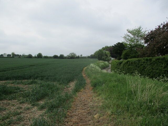
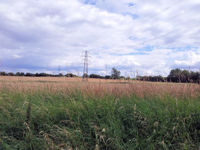
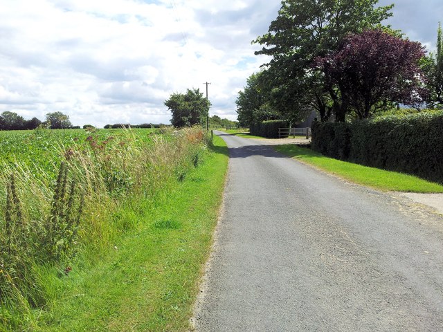
Brook Vale, Suffolk (Valley) is a small picturesque village located in the eastern part of England. Situated in the county of Suffolk, it is nestled in a beautiful valley surrounded by rolling hills and lush green fields. The village is known for its tranquil and idyllic setting, making it a popular destination for those seeking a peaceful countryside retreat.
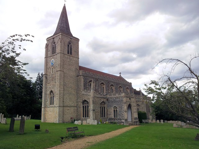
The village is home to a close-knit community, with a population of around 500 residents. The locals take great pride in their village and work together to maintain its charm and character. The main focal point of the village is the historic St. Mary's Church, which dates back to the 12th century and features stunning architecture and intricate stained glass windows.
Brook Vale offers a range of amenities to its residents and visitors. The village has a small convenience store, a cozy pub serving traditional British fare, and a community center that hosts various events and activities throughout the year. There are also several walking and cycling trails in the surrounding countryside, providing opportunities for outdoor enthusiasts to explore the area's natural beauty.
Despite its small size, Brook Vale is well-connected to larger towns and cities in the region. The village is conveniently located near major road networks, making it easily accessible by car. The nearest train station is just a short drive away, providing regular services to nearby towns and connecting routes to London and other major cities.
Overall, Brook Vale, Suffolk (Valley) offers a serene and picturesque setting, a close-knit community, and easy access to amenities and transport links, making it an ideal place to live or visit for those seeking a peaceful countryside escape.
If you have any feedback on the listing, please let us know in the comments section below.
Brook Vale Images
Images are sourced within 2km of 52.196582/0.90083253 or Grid Reference TL9859. Thanks to Geograph Open Source API. All images are credited.


Brook Vale is located at Grid Ref: TL9859 (Lat: 52.196582, Lng: 0.90083253)
Administrative County: Suffolk
District: Mid Suffolk
Police Authority: Suffolk
What 3 Words
///tangible.claw.richer. Near Woolpit, Suffolk
Nearby Locations
Related Wikis

Rattlesden
Rattlesden is a village and civil parish in the Mid Suffolk district of Suffolk in eastern England. It is approximately 15 miles (24 km) north-west from...
2011 murder of the Ding family
The 2011 murder of the Ding family occurred in Wootton, a suburb of Northampton, England, in late April. Four members of the Ding family—Professor Jifeng...

Woolpit Heath
Woolpit Heath is a hamlet in Suffolk, England near the village of Woolpit.

Mill Green, Buxhall
Mill Green is a hamlet near the village of Buxhall, in the English county of Suffolk. == See also == Buxhall Windmill == References == Philip's Street...
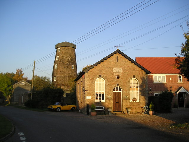
Buxhall Windmill
Buxhall Mill is a tower mill at Buxhall, Suffolk, England which has been converted to residential accommodation. == History == There have been three windmills...

Woolpit Green
Woolpit Green is a hamlet in Suffolk, England near the village of Woolpit. == External links == Media related to Woolpit Green at Wikimedia Commons

Shelland
Shelland is a small village and civil parish located just off the A14, 4 miles west of Stowmarket in Suffolk, England. Shelland consists of roughly 10...
Buxhall
Buxhall is a village and a civil parish in the Mid Suffolk district, in the county of Suffolk, England. The nearest town is Stowmarket. It is home to a...
Nearby Amenities
Located within 500m of 52.196582,0.90083253Have you been to Brook Vale?
Leave your review of Brook Vale below (or comments, questions and feedback).