Wilkinson's Plantation
Wood, Forest in Norfolk Breckland
England
Wilkinson's Plantation
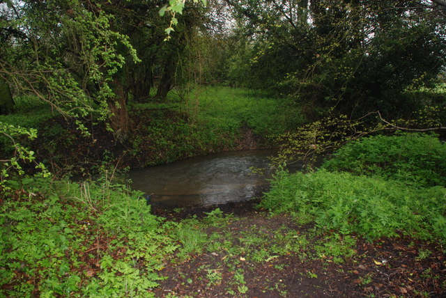
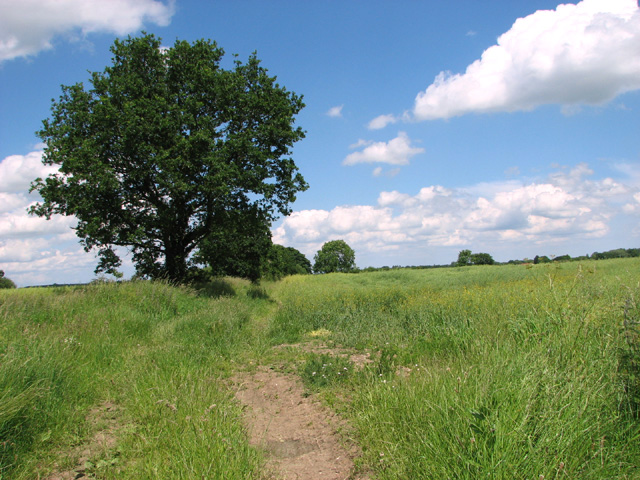
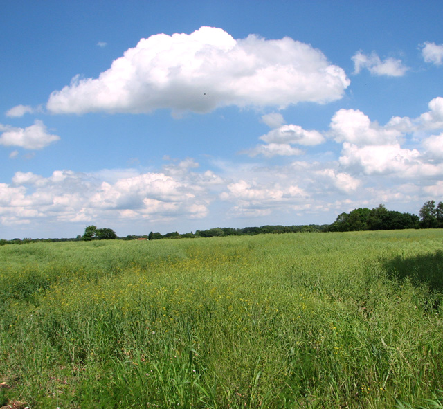
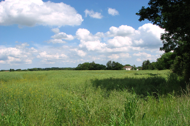
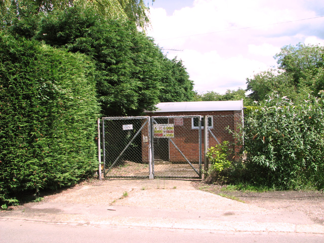
Wilkinson's Plantation is a picturesque woodland area located in Norfolk, England. Nestled amidst the beautiful Norfolk countryside, this plantation is renowned for its stunning variety of trees and vegetation, making it a haven for nature enthusiasts and those seeking tranquility.
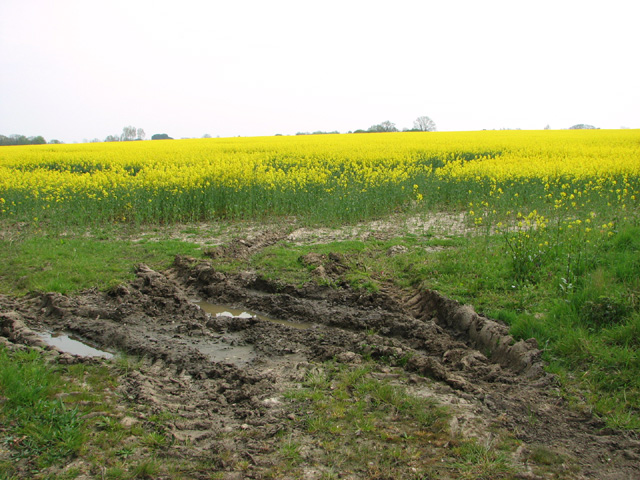
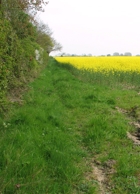
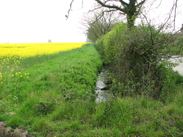
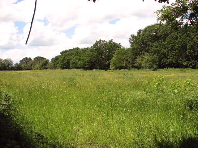
The plantation spans over a vast area, with dense forests and well-maintained trails that wind through the lush greenery. The Wood is home to a diverse range of tree species, including oak, beech, birch, and pine, which provide a rich and vibrant canopy. The forest floor is adorned with an array of wildflowers, creating a captivating tapestry of colors during the spring and summer months.
Visitors to Wilkinson's Plantation can enjoy a peaceful and serene environment, perfect for leisurely walks, picnics, or simply basking in the natural beauty. The plantation offers well-marked hiking trails that cater to different skill levels, allowing visitors to explore the woodland at their own pace.
The plantation is not just a paradise for nature lovers but also a sanctuary for wildlife. Birdwatchers can spot various species, including woodpeckers, thrushes, and nuthatches, while lucky observers might catch a glimpse of deer, foxes, or rabbits that inhabit the area.
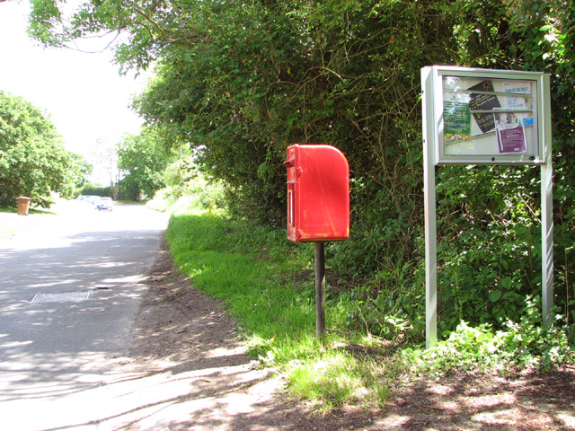
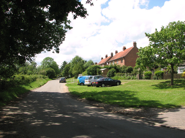
Wilkinson's Plantation is easily accessible, with ample parking facilities and well-maintained paths. It provides a peaceful retreat from the hustle and bustle of daily life, allowing visitors to connect with nature and experience the serenity of a woodland environment. Whether seeking solitude, exercise, or an educational adventure, Wilkinson's Plantation is a must-visit destination for nature enthusiasts and those who appreciate the beauty of the natural world.
If you have any feedback on the listing, please let us know in the comments section below.
Wilkinson's Plantation Images
Images are sourced within 2km of 52.704348/0.88697746 or Grid Reference TF9515. Thanks to Geograph Open Source API. All images are credited.

Wilkinson's Plantation is located at Grid Ref: TF9515 (Lat: 52.704348, Lng: 0.88697746)
Administrative County: Norfolk
District: Breckland
Police Authority: Norfolk
What 3 Words
///obliging.fuzz.pizzeria. Near East Dereham, Norfolk
Nearby Locations
Related Wikis
Longham
Longham is a village situated in the Breckland District of Norfolk and covers an area of 540 hectares (2.1 square miles) with a population of 219 in 100...

Gressenhall
Gressenhall is a village and civil parish in the English county of Norfolk. The villages name origin is uncertain possibly 'Grassy nook of land' or 'gravelly...

Mitford and Launditch Rural District
Mitford and Launditch Rural District was a rural district in Norfolk, England from 1894 to 1974.It was formed under the Local Government Act 1894 based...

Dillington Carr
Dillington Carr is a 55-hectare (140-acre) biological Site of Special Scientific Interest north of Dereham in Norfolk.This valley in a tributary of the...
Bittering, Norfolk
Bittering is a hamlet in the county of Norfolk, England, now in the civil parish of Beeston with Bittering. It lies west of East Dereham and south of Fakenham...
Beetley
Beetley is a village and civil parish in the Breckland district of Norfolk, England. According to the 2011 census the parish had a population of 1,396...

Honeypot Wood
Honeypot Wood is a 9.5-hectare (23-acre) biological Site of Special Scientific Interest west of Dereham in Norfolk. It is managed by the Norfolk Wildlife...

Dereham Rush Meadow
Dereham Rush Meadow is a 22.2-hectare (55-acre) biological Site of Special Scientific Interest north-west of Dereham in Norfolk.This is an area of grassland...
Have you been to Wilkinson's Plantation?
Leave your review of Wilkinson's Plantation below (or comments, questions and feedback).