Gressenhall
Civil Parish in Norfolk Breckland
England
Gressenhall

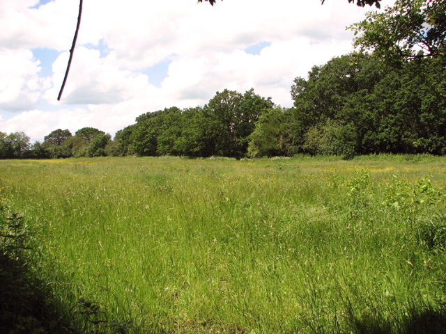
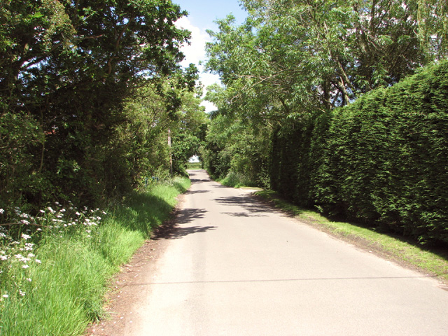
Gressenhall is a civil parish located in the county of Norfolk, England. It is situated approximately 17 miles west of the city of Norwich and covers an area of around 12 square miles. The parish is primarily rural, characterized by beautiful countryside landscapes and charming villages.
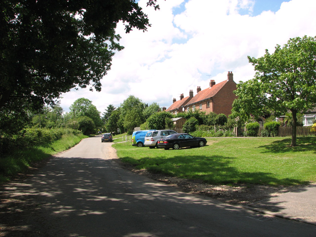
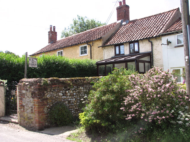
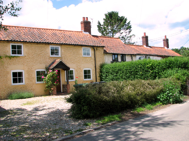
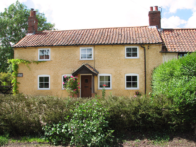
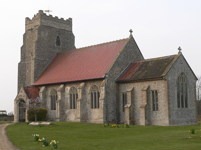
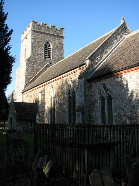
The village of Gressenhall is the main settlement within the parish. It has a small population of around 600 residents and is known for its picturesque cottages and historic buildings. One notable landmark in the village is the Church of St. Mary, a Grade II listed building dating back to the 14th century. The church features stunning architectural details and is a focal point for local community events and religious services.
Gressenhall is also home to the renowned Gressenhall Farm and Workhouse, a museum and heritage site. The museum offers visitors a unique insight into Norfolk's rural and social history, with exhibits showcasing traditional farming methods, historic vehicles, and artifacts from the workhouse era. The site also includes a reconstructed Victorian workhouse, providing a fascinating glimpse into the harsh living conditions experienced by the poor in the 19th century.
The parish of Gressenhall is surrounded by farmland, with agriculture playing a significant role in the local economy. The fertile soil and favorable climate make it an ideal location for crop cultivation, particularly cereals and vegetables.
Gressenhall is a tranquil and idyllic parish that attracts visitors with its natural beauty, rich history, and cultural attractions. It offers a peaceful retreat from the bustling city life and provides a charming glimpse into Norfolk's rural heritage.
If you have any feedback on the listing, please let us know in the comments section below.
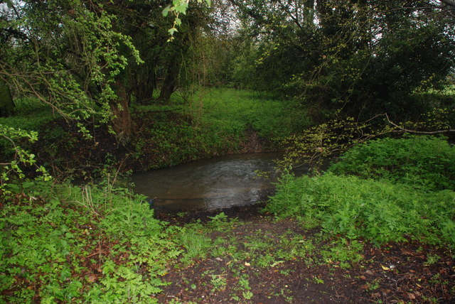
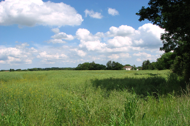
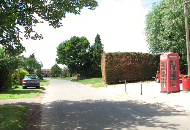
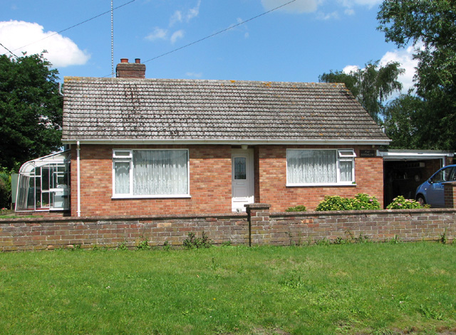
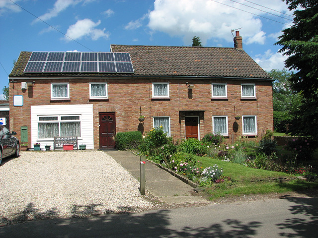
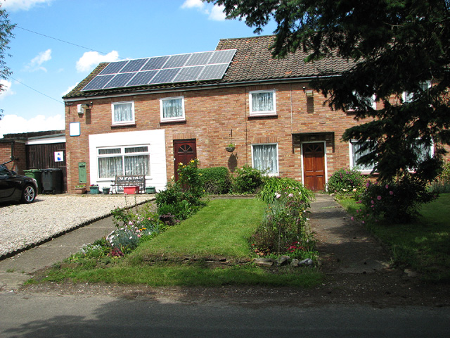
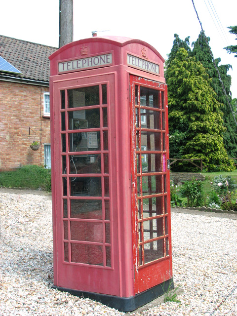
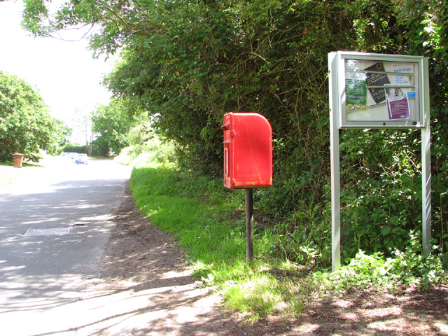
Gressenhall Images
Images are sourced within 2km of 52.698635/0.897249 or Grid Reference TF9515. Thanks to Geograph Open Source API. All images are credited.

Gressenhall is located at Grid Ref: TF9515 (Lat: 52.698635, Lng: 0.897249)
Administrative County: Norfolk
District: Breckland
Police Authority: Norfolk
What 3 Words
///blush.snow.ashes. Near East Dereham, Norfolk
Nearby Locations
Related Wikis

Gressenhall
Gressenhall is a village and civil parish in the English county of Norfolk. The villages name origin is uncertain possibly 'Grassy nook of land' or 'gravelly...

Mitford and Launditch Rural District
Mitford and Launditch Rural District was a rural district in Norfolk, England from 1894 to 1974.It was formed under the Local Government Act 1894 based...

Dillington Carr
Dillington Carr is a 55-hectare (140-acre) biological Site of Special Scientific Interest north of Dereham in Norfolk.This valley in a tributary of the...
Longham
Longham is a village situated in the Breckland District of Norfolk and covers an area of 540 hectares (2.1 square miles) with a population of 219 in 100...

Dereham Rush Meadow
Dereham Rush Meadow is a 22.2-hectare (55-acre) biological Site of Special Scientific Interest north-west of Dereham in Norfolk.This is an area of grassland...
Beetley
Beetley is a village and civil parish in the Breckland district of Norfolk, England. According to the 2011 census the parish had a population of 1,396...
Scarning railway station
Scarning railway station was located on the line between Wendling and Dereham. It served the parish of Scarning, and closed in 1850. == References ==

Hoe Rough
Hoe Rough is a 12-hectare (30-acre) nature reserve north of Dereham in Norfolk. It is managed by the Norfolk Wildlife Trust, and is part of the Beetley...
Nearby Amenities
Located within 500m of 52.698635,0.897249Have you been to Gressenhall?
Leave your review of Gressenhall below (or comments, questions and feedback).