Chicken's Gill
Valley in Sussex Horsham
England
Chicken's Gill
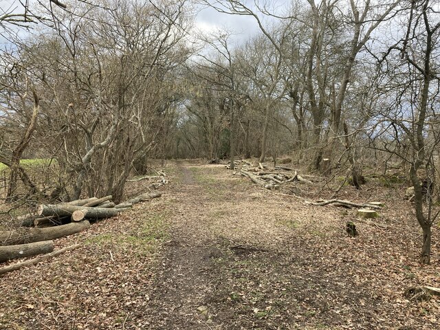
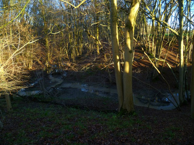
Chicken's Gill is a picturesque valley located in the county of Sussex, England. Nestled amidst rolling green hills and surrounded by lush woodlands, it is a place of natural beauty and tranquility. The valley gets its peculiar name from the presence of a small stream that runs through it, which was said to be a favorite spot for chickens to gather.
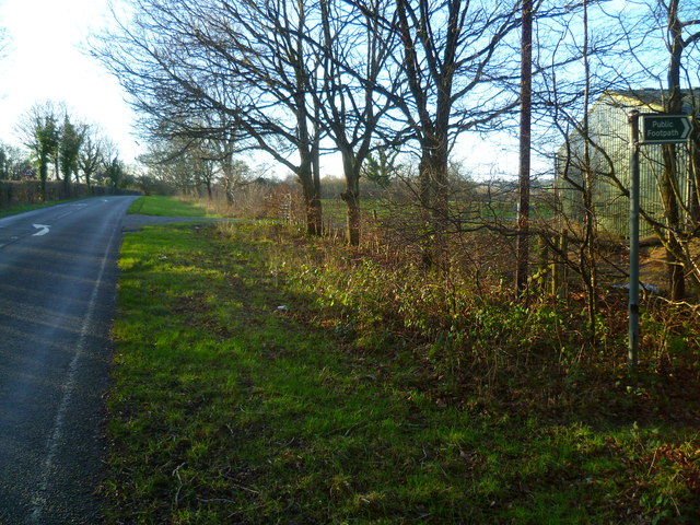
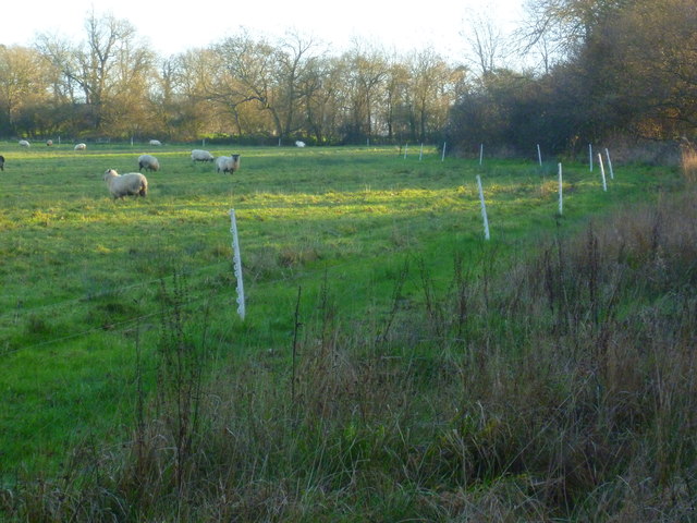
The landscape of Chicken's Gill is characterized by its gently sloping hills and meandering pathways, making it a popular destination for hikers and nature enthusiasts. The valley is home to a diverse range of wildlife, including various species of birds, small mammals, and insects. The stream that flows through the valley adds to its charm, with its crystal-clear waters and the soothing sound of trickling water.
The valley is also known for its rich history, with evidence of human habitation dating back centuries. Archaeological findings suggest that the area was once inhabited by early settlers, who left behind traces of their existence in the form of ancient artifacts and ruins.
Today, Chicken's Gill is a popular destination for those seeking a peaceful retreat from the hustle and bustle of city life. Its idyllic setting and serene atmosphere make it a perfect spot for picnics, leisurely walks, and photography. The valley's natural beauty and historical significance make it an important landmark in Sussex, attracting visitors from near and far.
If you have any feedback on the listing, please let us know in the comments section below.
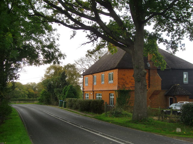
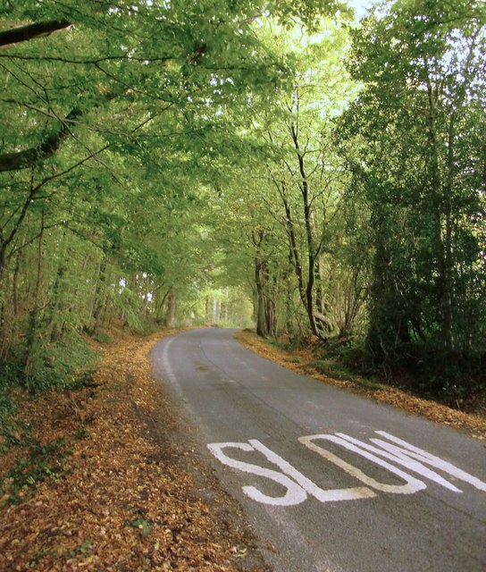
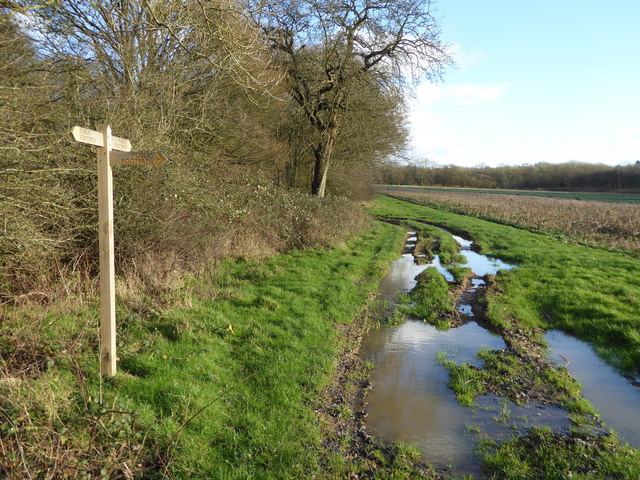
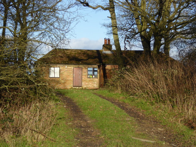
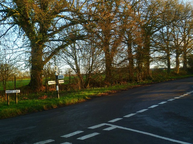
Chicken's Gill Images
Images are sourced within 2km of 51.099056/-0.34368189 or Grid Reference TQ1634. Thanks to Geograph Open Source API. All images are credited.


Chicken's Gill is located at Grid Ref: TQ1634 (Lat: 51.099056, Lng: -0.34368189)
Administrative County: West Sussex
District: Horsham
Police Authority: Sussex
What 3 Words
///diary.steady.caskets. Near Warnham, West Sussex
Nearby Locations
Related Wikis

Warnham & Rusper (electoral division)
Warnham & Rusper is an electoral division of West Sussex in the United Kingdom and returns one member to sit on West Sussex County Council. The current...

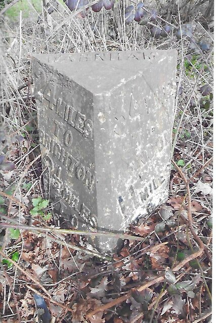
Warnham
Warnham is a village and civil parish in the Horsham district of West Sussex, England. The village is centred 2 miles (3.2 km) north-northwest of Horsham...

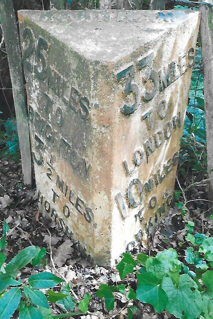
Warnham railway station
Warnham railway station serves the village of Warnham in West Sussex, England. It is 33 miles 46 chains (54.0 km) measured from London Waterloo (although...

E. Tredcroft's Ground
E. Tredcroft's Ground was a cricket ground at the Warnham Court estate, located at Horsham, Sussex. The first recorded match on the ground was in 1851...
Nearby Amenities
Located within 500m of 51.099056,-0.34368189Have you been to Chicken's Gill?
Leave your review of Chicken's Gill below (or comments, questions and feedback).