Cox Farm Copse

Wood, Forest in Sussex Horsham

England

Cox Farm Copse

New bridleway off Bell Lane The footpath leading south-east off Bell Lane to the old Dorking Road (now sequestered by the A24 dual carriageway) has recently been upgraded to bridleway, no. 3647_1.
New bridleway off Bell Lane Credit: Hugh Craddock

Cox Farm Copse is a picturesque woodland located in the county of Sussex, England. Spanning over several acres, this serene forest is a haven for nature enthusiasts and those seeking tranquility amidst the hustle and bustle of modern life.

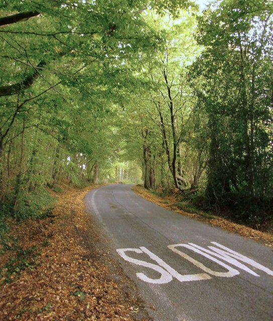
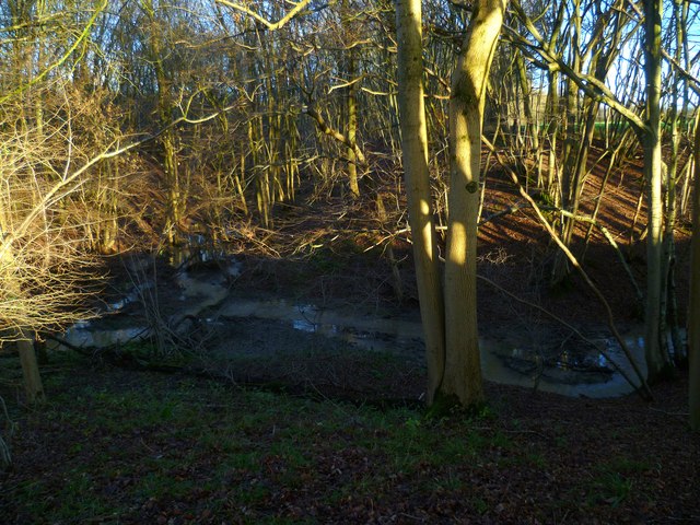
The copse is characterized by its dense and diverse array of trees, including oak, beech, and birch, which form a lush canopy overhead. The forest floor is carpeted with a rich layer of moss, ferns, and wildflowers, creating a vibrant tapestry of colors and textures. The air within the copse is filled with the sweet scent of damp earth and the melodious chirping of birds.

Traversing through Cox Farm Copse, visitors will encounter a network of well-marked trails, allowing them to explore the woods at their leisure. The paths wind their way through the forest, offering glimpses of sun-dappled clearings and babbling streams. Along the way, hikers may spot an array of wildlife, including deer, foxes, and a variety of bird species, making the copse a popular spot for birdwatching.

The copse is also home to a diversity of plant and insect life, with rare species occasionally being discovered by botanists and entomologists. It provides a valuable habitat for numerous organisms, contributing to the overall biodiversity of the region.

Cox Farm Copse is a place of natural beauty and tranquility, where visitors can immerse themselves in the wonders of the Sussex countryside. Whether one seeks a leisurely stroll, a peaceful picnic, or simply a moment of solitude, this woodland sanctuary offers an escape from the demands of everyday life.

If you have any feedback on the listing, please let us know in the comments section below.

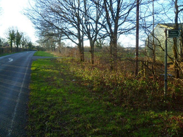
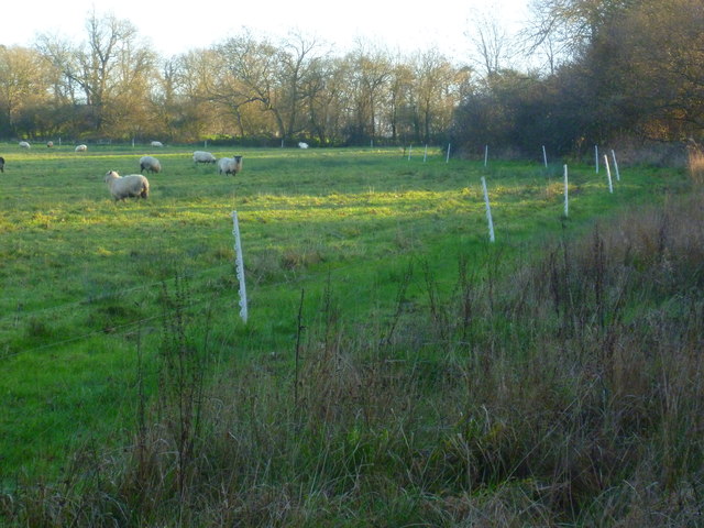
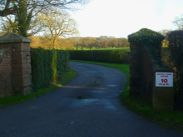
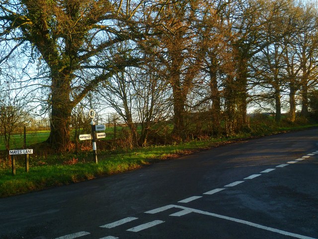
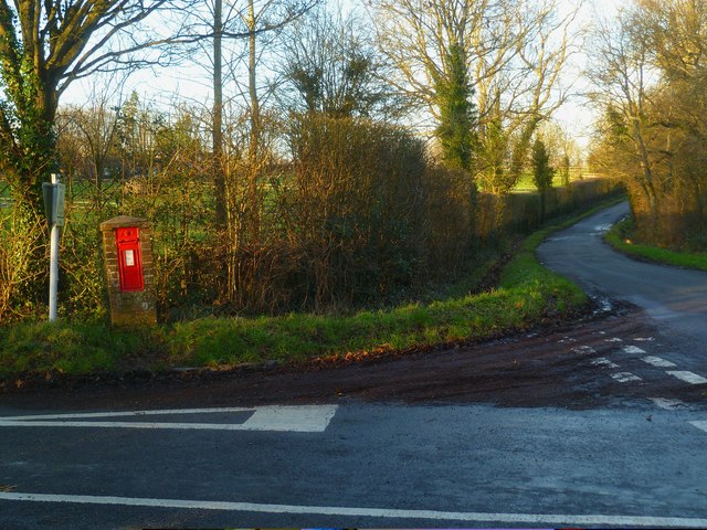
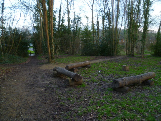
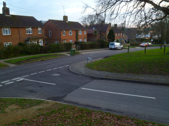
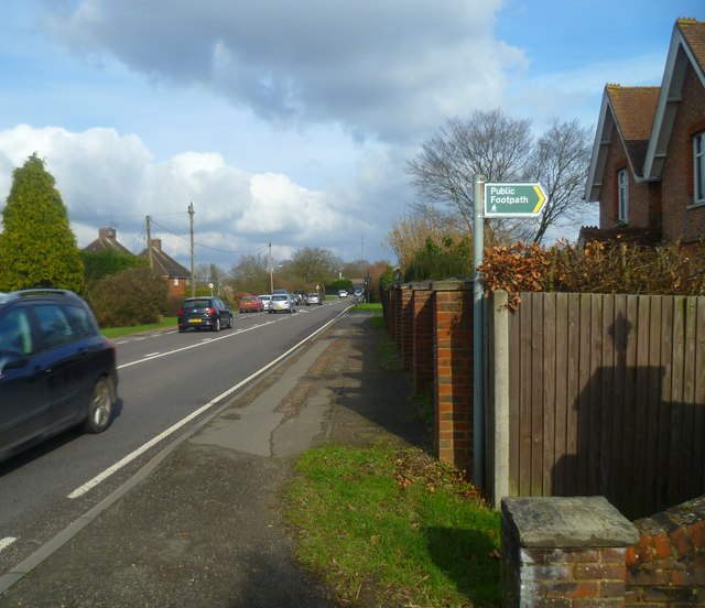
Cox Farm Copse Images

Images are sourced within 2km of 51.101468/-0.33239768 or Grid Reference TQ1634. Thanks to Geograph Open Source API. All images are credited.

New bridleway off Bell Lane The footpath leading south-east off Bell Lane to the old Dorking Road (now sequestered by the A24 dual carriageway) has recently been upgraded to bridleway, no. 3647_1.
New bridleway off Bell Lane
The footpath leading south-east off Bell Lane to the old Dorking Road (now sequestered by the A24 dual carriageway) has recently been upgraded to bridleway, no. 3647_1.
Old Milepost by A24, Durfold, a mile North of Warnham The Milepost is located by fence at back of verge on the East of the road.  Parish of Warnham (Horsham District). Cast iron post, Horsham post design, erected by the Horsham & Dorking turnpike trust in the 19th Century. 

Inscription reads:-  
25 MILES / TO / BRIGHTON / 3½ / TO / HORSHAM : : 33 MILES / TO / LONDON / 10 / MILES TO / DORKING : : WARNHAM

Milestone Society National ID: SX_LA33
Old Milepost by A24, Durfold, a mile North of Warnham
The Milepost is located by fence at back of verge on the East of the road.  Parish of Warnham (Horsham District). Cast iron post, Horsham post design, erected by the Horsham & Dorking turnpike trust in the 19th Century.  Inscription reads:- 25 MILES / TO / BRIGHTON / 3½ / TO / HORSHAM : : 33 MILES / TO / LONDON / 10 / MILES TO / DORKING : : WARNHAM Milestone Society National ID: SX_LA33
School Hill, Warnham School Hill in the village of Warnham, in West Sussex
School Hill, Warnham
School Hill in the village of Warnham, in West Sussex
Former school, by Warnham village green A Victorian school building, overlooking the village green from the east.
Former school, by Warnham village green
A Victorian school building, overlooking the village green from the east.
Marches Farmhouse, Marches Road The date 1877 appears as a pattern of blue brickwork (so called 'diapering') between the middle and left-hand ground-floor windows.  No longer a working farm.
Marches Farmhouse, Marches Road
The date 1877 appears as a pattern of blue brickwork (so called 'diapering') between the middle and left-hand ground-floor windows. No longer a working farm.
Mayes Lane near Joanlands Farm Dave Spicer was here before me, but at a less colourful, leafless time of year : <a href="https://www.geograph.org.uk/photo/2845209">TQ1535 : Mayes Lane south to Warnham</a>
Mayes Lane near Joanlands Farm
Dave Spicer was here before me, but at a less colourful, leafless time of year : TQ1535 : Mayes Lane south to Warnham
Mid-18th century tombstone, Warnham churchyard The name is JOHN AGATE (if I've read it correctly) and the date July 1748.  The jawless skull is pretty typical of the rather heartless imagery to be found on 18th century tombstones.
Mid-18th century tombstone, Warnham churchyard
The name is JOHN AGATE (if I've read it correctly) and the date July 1748. The jawless skull is pretty typical of the rather heartless imagery to be found on 18th century tombstones.
Stonefarm Gill and tributary
Looking west along Marches Road at footpath junction
Field edge path at Winterfold
Entrance to Mayes Park House
Road junction at Pound Corner For another view see <a title="https://www.geograph.org.uk/photo/1852989" href="https://www.geograph.org.uk/photo/1852989">Link</a>.
Road junction at Pound Corner
For another view see Link.
Junction at Pound Corner with pillar box For a better view of the post box see <a title="https://www.geograph.org.uk/photo/1853267" href="https://www.geograph.org.uk/photo/1853267">Link</a>.
Junction at Pound Corner with pillar box
For a better view of the post box see Link.
Log seating by crosstracks at Warnham
Houses on Tilletts Lane The camera is near the junction with Gregsons.
Houses on Tilletts Lane
The camera is near the junction with Gregsons.
Footpath to Wattlehurst Farm from the A24 On the right is a builders' merchant's premises.
Footpath to Wattlehurst Farm from the A24
On the right is a builders' merchant's premises.
The A24 in Kingsfold
Looking northwards on Foxwood
Show me another place!

Cox Farm Copse is located at Grid Ref: TQ1634 (Lat: 51.101468, Lng: -0.33239768)

Administrative County: West Sussex

District: Horsham

Police Authority: Sussex

What 3 Words

///generals.remark.pranced. Near Warnham, West Sussex

Related Wikis

Warnham railway station

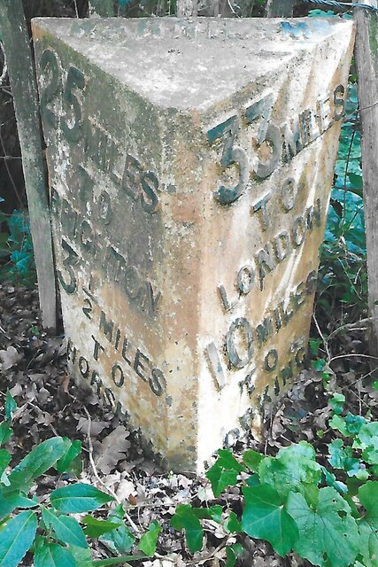
Warnham railway station serves the village of Warnham in West Sussex, England. It is 33 miles 46 chains (54.0 km) measured from London Waterloo (although...

Warnham SSSI

Warnham SSSI is a 28.5-hectare (70-acre) geological Site of Special Scientific Interest north of Horsham in West Sussex. It is a Geological Conservation...

Warnham & Rusper (electoral division)

Warnham & Rusper is an electoral division of West Sussex in the United Kingdom and returns one member to sit on West Sussex County Council. The current...

Graylands

Graylands is a hamlet in the Horsham district of West Sussex, England. The largely rural hamlet is located north of Holbrook beyond the A264. It is bordered...

Old Holbrook

Old Holbrook (formerly known as Northlands) is a hamlet in the Horsham district of West Sussex, England. This rural hamlet is located north of the Horsham...
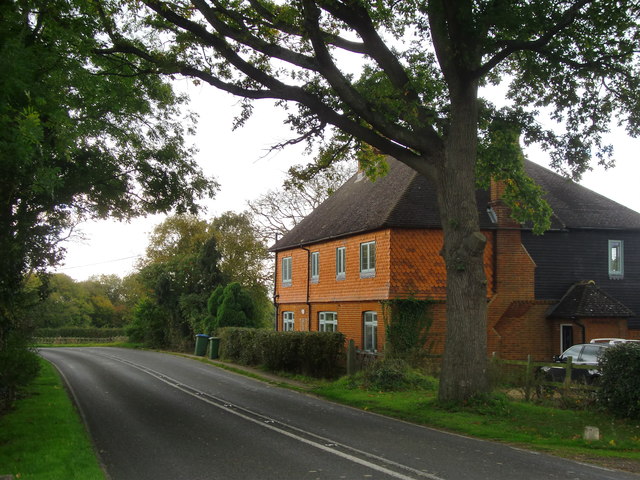
Warnham

Warnham is a village and civil parish in the Horsham district of West Sussex, England. The village is centred 2 miles (3.2 km) north-northwest of Horsham...

Holbrook (electoral division)

Holbrook is an electoral division of West Sussex in the United Kingdom and returns one member to sit on West Sussex County Council. The current County...

E. Tredcroft's Ground

E. Tredcroft's Ground was a cricket ground at the Warnham Court estate, located at Horsham, Sussex. The first recorded match on the ground was in 1851...

Nearby Amenities

Located within 500m of 51.101468,-0.33239768
Source: Landsat photo
Lat/Long: 51.1051682/-0.3299417
Source: Landsat photo
Lat/Long: 51.1030093/-0.3299283
Source: Landsat photo
Lat/Long: 51.1006453/-0.330039
Source: Landsat photo
Lat/Long: 51.0994673/-0.3302638
Post Box
Operator: Royal Mail
Ref: RH12 117
Lat/Long: 51.1039503/-0.3366364
Auctioneers
Denham's Auctioneers
Shop: yes
Lat/Long: 51.1025925/-0.3360315
Bus Stop
Dog & Duck
Bus: yes
Naptan AtcoCode: 4400HR0034
Naptan Bearing: SW
Naptan CommonName: Dog & Duck
Naptan Indicator: opp. The Dog & Duck P.H.
Naptan Landmark: Dog and Duck
Naptan NaptanCode: wsxatgjd
Naptan Street: Dorking Road
Naptan Verified: no
Public Transport: platform
Source: naptan_import
Lat/Long: 51.1050627/-0.3349025
Bus Stop
War Museum
Bus: yes
Naptan AtcoCode: 4400HR0036
Naptan Bearing: N
Naptan CommonName: War Museum
Naptan Indicator: opp Auction House
Naptan Landmark: Tylden House
Naptan NaptanCode: wsxatgjm
Naptan Street: Dorking Road
Naptan Verified: no
Public Transport: platform
Lat/Long: 51.1028892/-0.3376712
Bus Stop
War Museum
Bench: yes
Bus: yes
Naptan AtcoCode: 4400HR0037
Naptan Bearing: S
Naptan CommonName: War Museum
Naptan Indicator: o/s Auction House
Naptan Landmark: Tylden House
Naptan NaptanCode: wsxatgjp
Naptan Street: Dorking Road
Naptan Verified: no
Public Transport: platform
Shelter: yes
Source: naptan_import
Wheelchair: limited
Lat/Long: 51.1024957/-0.3377055
Dog & Duck
Bus: yes
Public Transport: stop_position
Lat/Long: 51.1050866/-0.334959
War Museum
Bus: yes
Public Transport: stop_position
Lat/Long: 51.1025175/-0.3378374
War Museum
Bus: yes
Public Transport: stop_position
Lat/Long: 51.1028779/-0.337622
Cox Farm
Place: farm
Lat/Long: 51.0994934/-0.3350577
Tylden House
Place: locality
Lat/Long: 51.10235/-0.3369873
Durfold Hill Farm
Place: farm
Lat/Long: 51.1045765/-0.3345439
Power: pole
Lat/Long: 51.0977581/-0.3310723
Power: pole
Lat/Long: 51.1010624/-0.3382234
Power: pole
Lat/Long: 51.1007417/-0.3368756
Power: pole
Lat/Long: 51.1003641/-0.3352987
Power: pole
Lat/Long: 51.100016/-0.333791
Power: pole
Lat/Long: 51.0996223/-0.3321124
Power: pole
Lat/Long: 51.0989851/-0.3309725
Power: pole
Lat/Long: 51.1000602/-0.3390973
Post Box
Source: Photo for Wheelmap survey 2023-03
Wheelchair: yes
Lat/Long: 51.102517/-0.3376993
The data included in this document is from www.openstreetmap.org. The data is made available under ODbL.

Have you been to Cox Farm Copse?

Leave your review of Cox Farm Copse below (or comments, questions and feedback).