Honey Dale
Valley in Yorkshire Ryedale
England
Honey Dale
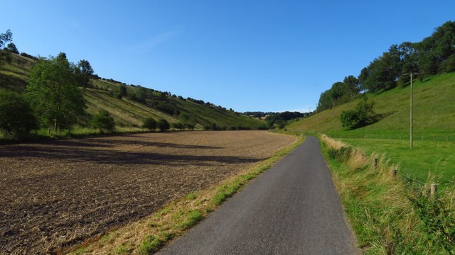
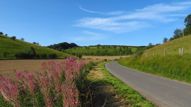
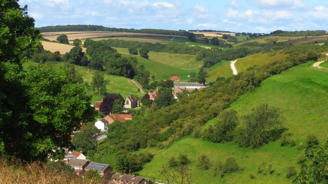
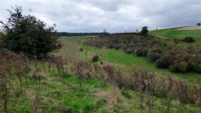
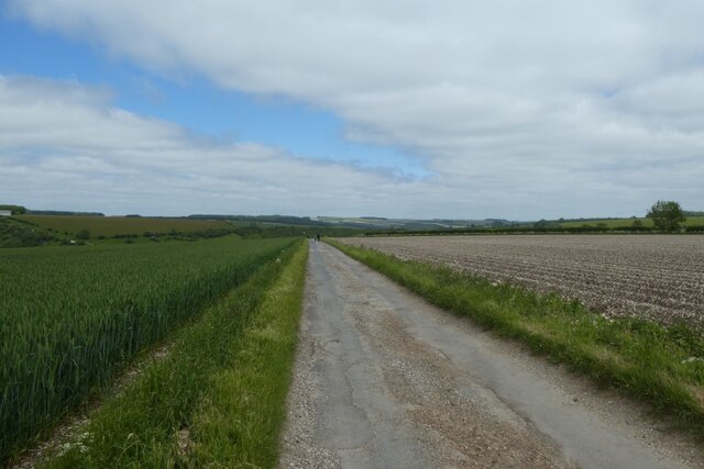
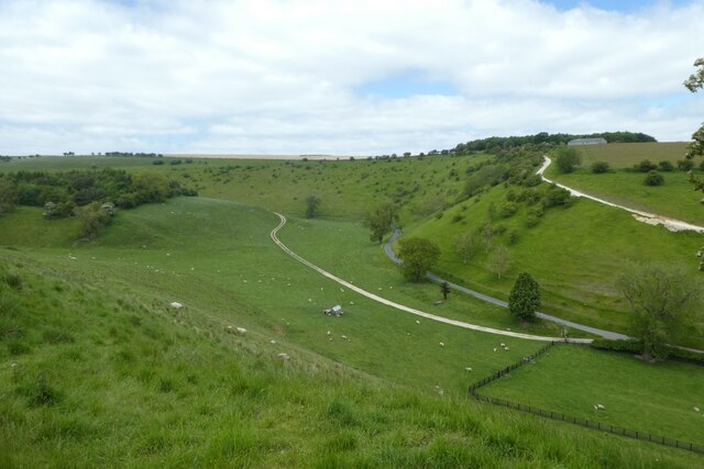
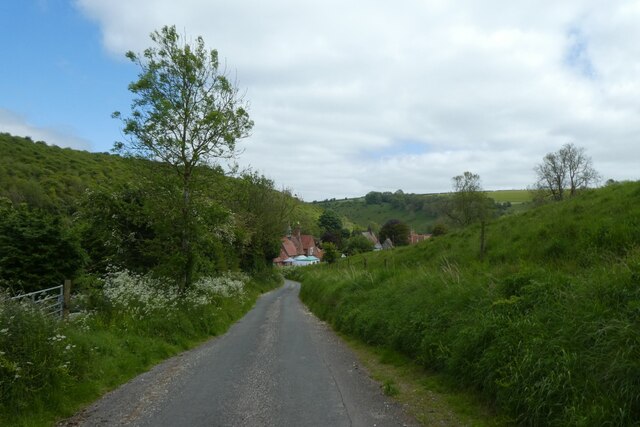
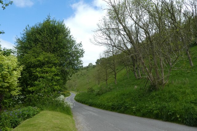
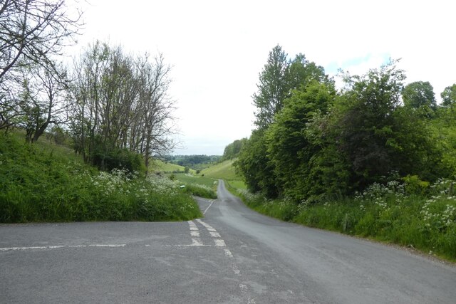
Honey Dale is a picturesque valley located in the heart of Yorkshire, England. Nestled between rolling hills and lush greenery, this idyllic countryside destination offers visitors a tranquil and serene escape from the hustle and bustle of city life.
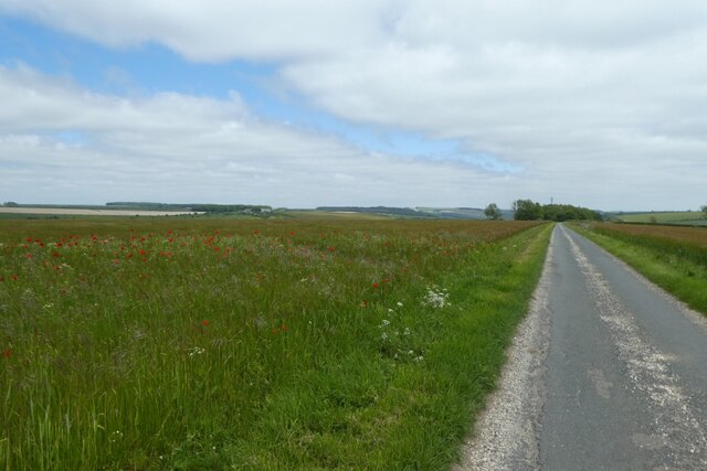
The valley is named after the abundance of wildflowers that bloom in the spring, creating a honey-like hue that blankets the landscape. These colorful blooms attract a variety of bees, hence giving the valley its sweet-sounding name.
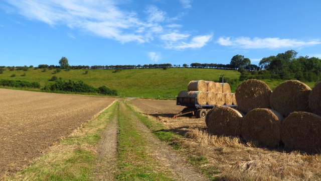
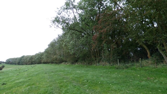
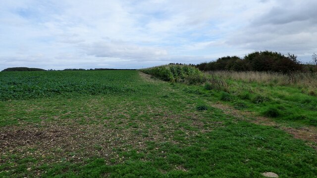
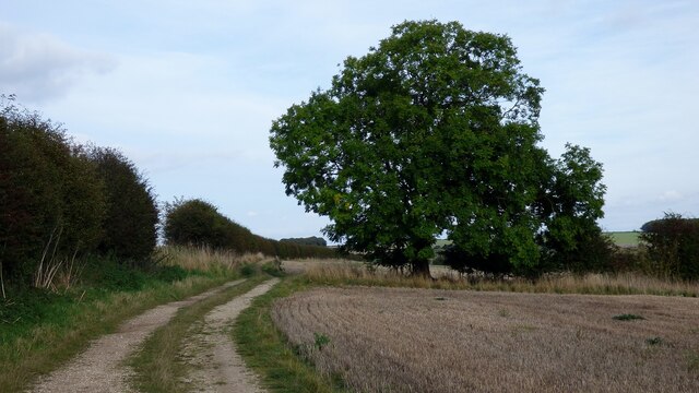
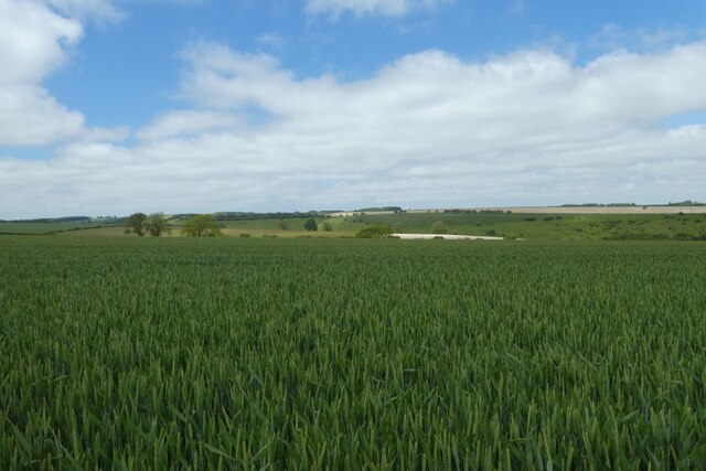
Honey Dale is known for its stunning natural beauty, with meandering streams, babbling brooks, and cascading waterfalls that dot the landscape. The valley is a haven for wildlife enthusiasts, as it is home to a diverse range of flora and fauna. Visitors can spot rare bird species, deer, and even the occasional fox while exploring the area's numerous walking trails.
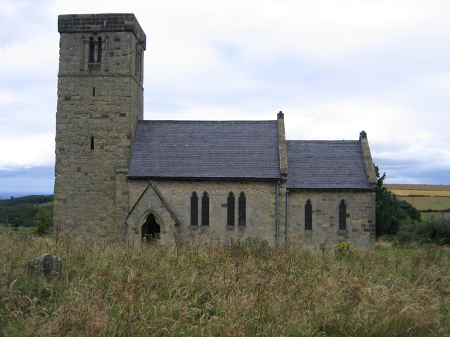
In addition to its natural charm, Honey Dale also boasts a rich history. The valley is dotted with remnants of ancient civilizations, including Bronze Age burial mounds and Roman ruins. History buffs can explore these archaeological sites and gain insight into the region's past.
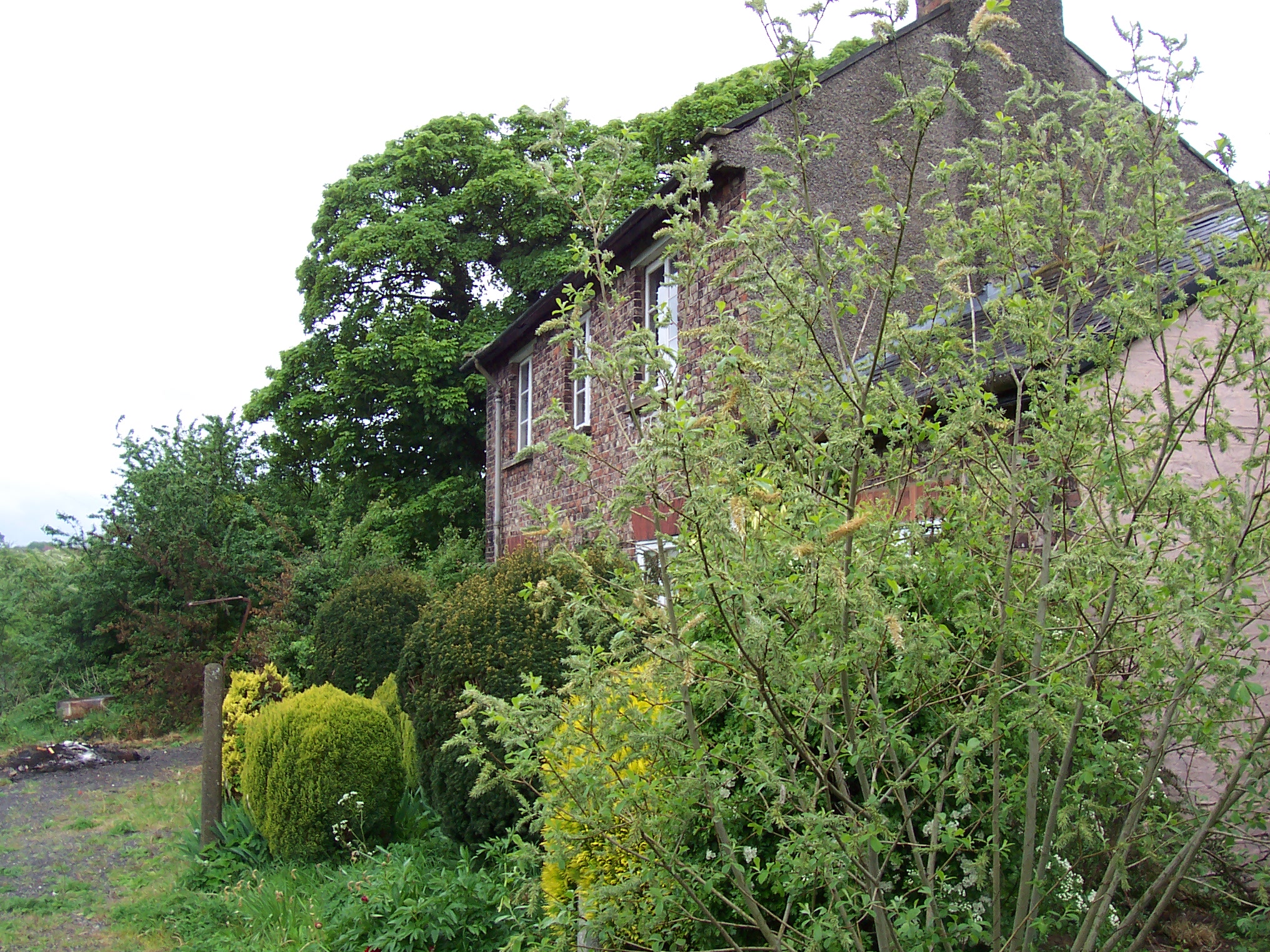
For those seeking a peaceful retreat, Honey Dale offers a range of accommodation options, including charming bed and breakfasts and cozy cottages. The local community is friendly and welcoming, ensuring visitors feel right at home during their stay.
In conclusion, Honey Dale is a hidden gem in Yorkshire, offering a perfect blend of natural beauty, wildlife, and historical significance. Whether it's for a weekend getaway or a longer vacation, this valley is a must-visit destination for nature lovers and history enthusiasts alike.
If you have any feedback on the listing, please let us know in the comments section below.
Honey Dale Images
Images are sourced within 2km of 54.047052/-0.71177925 or Grid Reference SE8461. Thanks to Geograph Open Source API. All images are credited.
Honey Dale is located at Grid Ref: SE8461 (Lat: 54.047052, Lng: -0.71177925)
Division: East Riding
Administrative County: North Yorkshire
District: Ryedale
Police Authority: North Yorkshire
What 3 Words
///lashed.solicitor.javelin. Near Kirby Underdale, East Yorkshire
Nearby Locations
Related Wikis

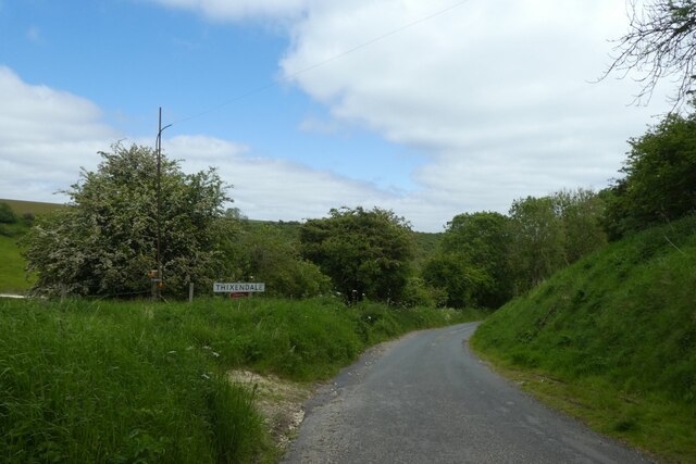
Thixendale
Thixendale is a village and civil parish in North Yorkshire, England. Historically part of the East Riding of Yorkshire, it is located in the Yorkshire...

Wharram Percy
Wharram Percy is a deserted medieval village and former civil parish near Wharram-le-Street, now in the parish of Wharram, on the western edge of the chalk...

Burdale railway station
Burdale railway station was a station on the Malton and Driffield Junction Railway in North Yorkshire, England. == History and description == Burdale...
Wharram
Wharram is a civil parish in North Yorkshire, England. It lies on the Yorkshire Wolds, 6 miles (10 km) south-east of Malton. The principal settlement is...

Burdale, North Yorkshire
Burdale is a hamlet in North Yorkshire, England, 8 miles (13 km) south-east of Malton. It lies in a deep valley (or dale), also known as Burdale, in the...
Wharram railway station
Wharram railway station was opened by the Malton and Driffield Railway in May 1853, serving the village of Wharram-le-Street in North Yorkshire, England...

Buckrose
Buckrose was a wapentake of the historic East Riding of Yorkshire, England consisting of the north-west part of the county; its territory is now partly...
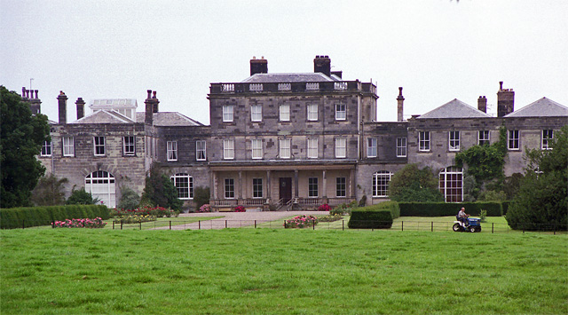
Birdsall House
Birdsall House is an English country house in Birdsall, North Yorkshire. It is a Grade II* listed building.The house dates from the late 16th century but...
Nearby Amenities
Located within 500m of 54.047052,-0.71177925Have you been to Honey Dale?
Leave your review of Honey Dale below (or comments, questions and feedback).