Gilders Dale

Valley in Yorkshire

England

Gilders Dale

National Cycle Route 164 (Way of the Roses) mear Millington To the left is the Wolds Way Footpath and straight on is the Wiberforce Way.
National Cycle Route 164 (Way of the Roses) mear Millington Credit: JThomas

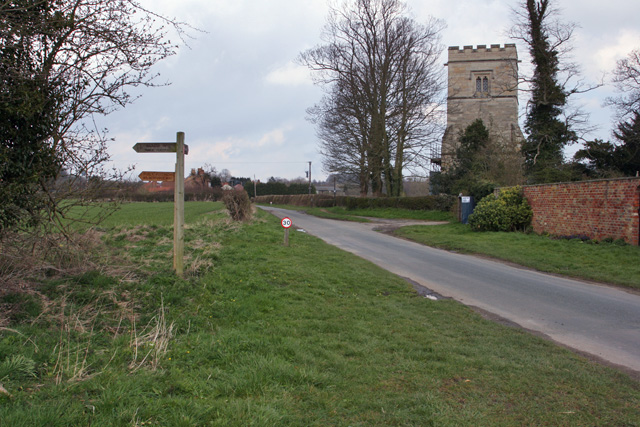
Gilders Dale is a picturesque valley located in the heart of Yorkshire, England. Surrounded by rolling hills and lush greenery, the valley is known for its stunning natural beauty and tranquil atmosphere. The dale is home to a variety of wildlife, including deer, foxes, and a wide range of bird species.

The main feature of Gilders Dale is the winding river that runs through it, providing a peaceful backdrop for visitors to enjoy. The river is popular with anglers, who come to try their luck at catching trout and salmon.

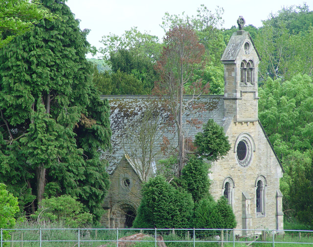
The valley is also dotted with charming villages and historic buildings, adding to its charm and character. Visitors can explore the quaint streets and browse the local shops, or enjoy a meal at one of the cozy pubs or cafes.

For outdoor enthusiasts, Gilders Dale offers a range of activities such as hiking, cycling, and horseback riding. The valley is crisscrossed with scenic trails that lead to breathtaking viewpoints and hidden gems.

Overall, Gilders Dale is a hidden gem in Yorkshire, offering a peaceful retreat for nature lovers and outdoor enthusiasts alike.

If you have any feedback on the listing, please let us know in the comments section below.
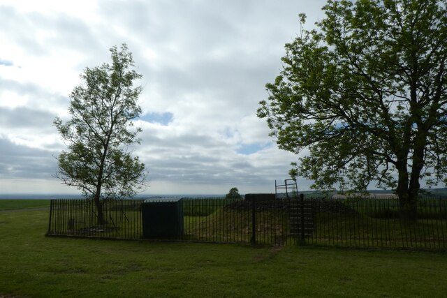
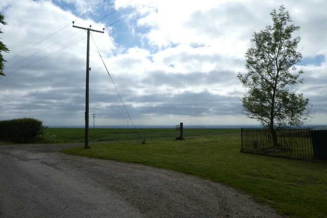
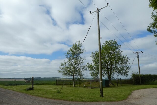
Gilders Dale Images

Images are sourced within 2km of 53.940098/-0.71503053 or Grid Reference SE8450. Thanks to Geograph Open Source API. All images are credited.

National Cycle Route 164 (Way of the Roses) mear Millington To the left is the Wolds Way Footpath and straight on is the Wiberforce Way.
National Cycle Route 164 (Way of the Roses) mear Millington
To the left is the Wolds Way Footpath and straight on is the Wiberforce Way.
Farm track off National Cycle Route 164
Dog walkers on the Wilberforce Way
House on Inrea Hill (B1246)
Inrea Hill (B1246) Towards Warter.
Inrea Hill (B1246)
Towards Warter.
House, Westbeck Hill
Cottage, Westbeck Hill
Westbeck Hill (B1246) Towards Warter.
Westbeck Hill (B1246)
Towards Warter.
Entering Warter On the B1246.
Entering Warter
On the B1246.
Reservoir near Warren Farm Looking towards a reservoir above Millington.
Reservoir near Warren Farm
Looking towards a reservoir above Millington.
Entrance to Warren Farm A footpath leads down the drive to Millington.
Entrance to Warren Farm
A footpath leads down the drive to Millington.
Pylons beside the reservoir Looking towards a reservoir near Warren Farm.
Pylons beside the reservoir
Looking towards a reservoir near Warren Farm.
Road near Deepdale Looking along the road which heads towards Pocklington.
Road near Deepdale
Looking along the road which heads towards Pocklington.
Fields above Deep Dale Looking across farmland from the road at the head of Deep Dale.
Fields above Deep Dale
Looking across farmland from the road at the head of Deep Dale.
Gate beside Newcote Fields Looking across farmland by Gilders Dale.
Gate beside Newcote Fields
Looking across farmland by Gilders Dale.
Road towards Kilnwick Percy Hill Looking down the road as it descends from Newcote.
Road towards Kilnwick Percy Hill
Looking down the road as it descends from Newcote.
Former communications compound The site is labelled as Millennium Comms with a Manchester phone number.
Former communications compound
The site is labelled as Millennium Comms with a Manchester phone number.
Road near the quarry Looking along the road as it descends to meet the Pocklington to Warter road.
Road near the quarry
Looking along the road as it descends to meet the Pocklington to Warter road.
Show me another place!

Gilders Dale is located at Grid Ref: SE8450 (Lat: 53.940098, Lng: -0.71503053)

Division: East Riding

Unitary Authority: East Riding of Yorkshire

Police Authority: Humberside

What 3 Words

///kickers.spoils.windpipe. Near Millington, East Yorkshire

Related Wikis

Warter Priory

Warter Priory is an 11,000 acres (4,500 ha) country estate in the East Riding of Yorkshire Yorkshire Wolds, centred 1 mile (2 km) south-west of the village...

Nunburnholme Priory

Nunburnholme Priory was a priory of Benedictine nuns in the East Riding of Yorkshire, England. It was founded during the reign of Henry II of England by...

Kilnwick Percy

Kilnwick Percy is a village and former civil parish, now in the parish of Nunburnholme, in the East Riding of Yorkshire, England. It is situated approximately...

Nunburnholme

Nunburnholme is a village and civil parish in the East Riding of Yorkshire, England. It is approximately 3 miles (5 km) east of the market town of Pocklington...

Nearby Amenities

Located within 500m of 53.940098,-0.71503053
Gilbersdale Spring
Natural: spring
Lat/Long: 53.9390874/-0.7141462
Material: wood
Power: pole
Lat/Long: 53.943794/-0.7178671
Material: wood
Power: pole
Transformer: distribution
Lat/Long: 53.9428425/-0.7177372
Line Management: branch
Material: wood
Power: pole
Lat/Long: 53.9420156/-0.7177838
Material: wood
Power: pole
Lat/Long: 53.9418684/-0.7153162
Material: wood
Power: pole
Lat/Long: 53.9419284/-0.7163791
Material: wood
Power: pole
Lat/Long: 53.9422896/-0.7216842
Material: wood
Power: pole
Lat/Long: 53.9421696/-0.720487
Generator Method: wind_turbine
Generator Source: wind
Power: generator
Lat/Long: 53.9428607/-0.7204176
Material: wood
Power: pole
Lat/Long: 53.9417613/-0.7134785
Material: wood
Power: pole
Lat/Long: 53.9415017/-0.7123931
Material: wood
Power: pole
Lat/Long: 53.9411555/-0.7109121
Material: wood
Power: pole
Lat/Long: 53.9407995/-0.7094191
Material: wood
Power: pole
Lat/Long: 53.9404597/-0.7079584
The data included in this document is from www.openstreetmap.org. The data is made available under ODbL.

Have you been to Gilders Dale?

Leave your review of Gilders Dale below (or comments, questions and feedback).