Court Dale
Valley in Yorkshire Ryedale
England
Court Dale
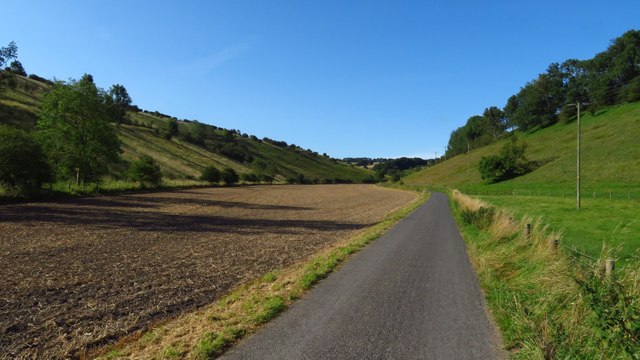
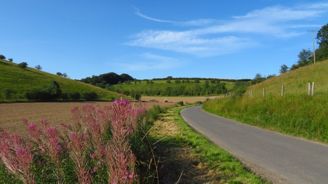
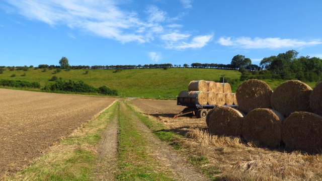
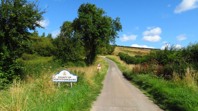
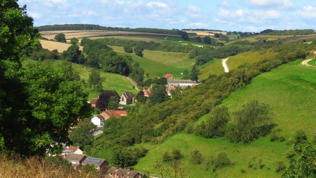
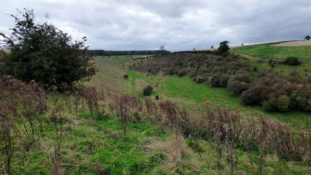
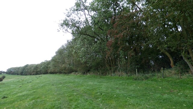
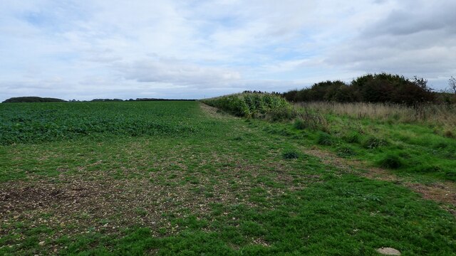
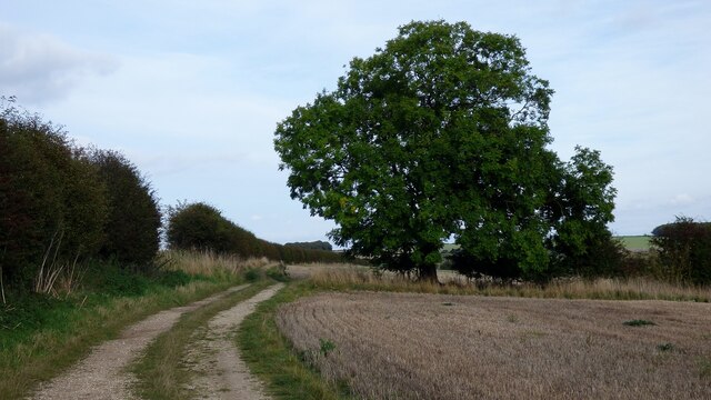
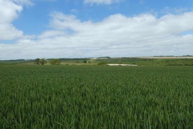
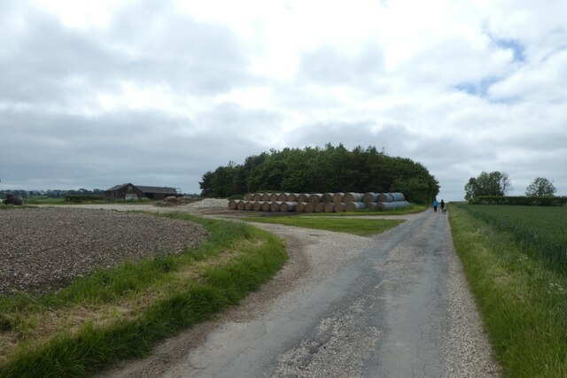
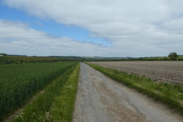
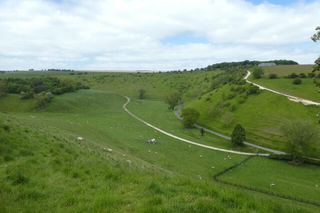
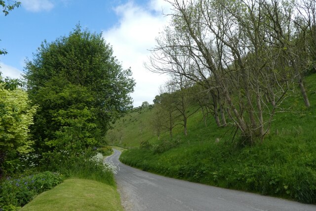
Court Dale is a picturesque valley located in the county of Yorkshire, England. Situated amidst the stunning landscape of the Yorkshire Dales National Park, this enchanting location is renowned for its natural beauty and tranquility. The valley is nestled between rolling hills and is characterized by its lush green meadows, meandering streams, and dense woodlands, providing visitors with a serene and idyllic setting.
The valley is home to an array of wildlife, including various species of birds, mammals, and insects. The diverse ecosystem supports a rich biodiversity, making it a haven for nature enthusiasts and wildlife photographers. Visitors to Court Dale can enjoy peaceful walks along the numerous walking trails that wind through the valley, offering breathtaking views of the surrounding countryside.
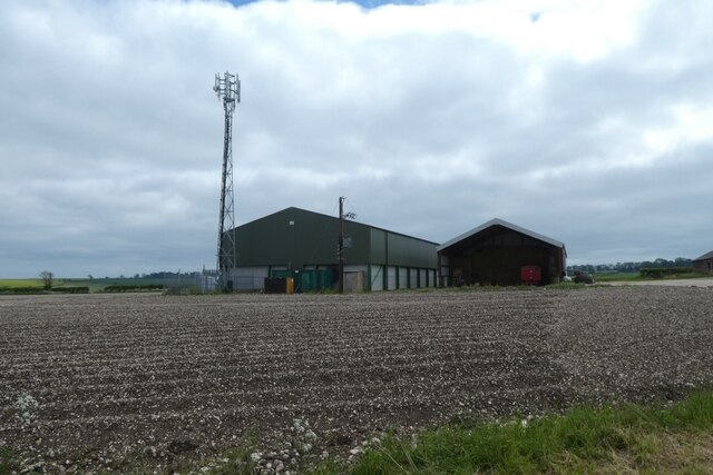
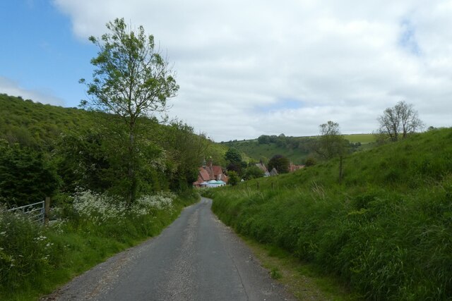
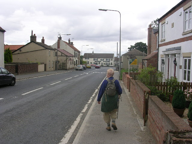
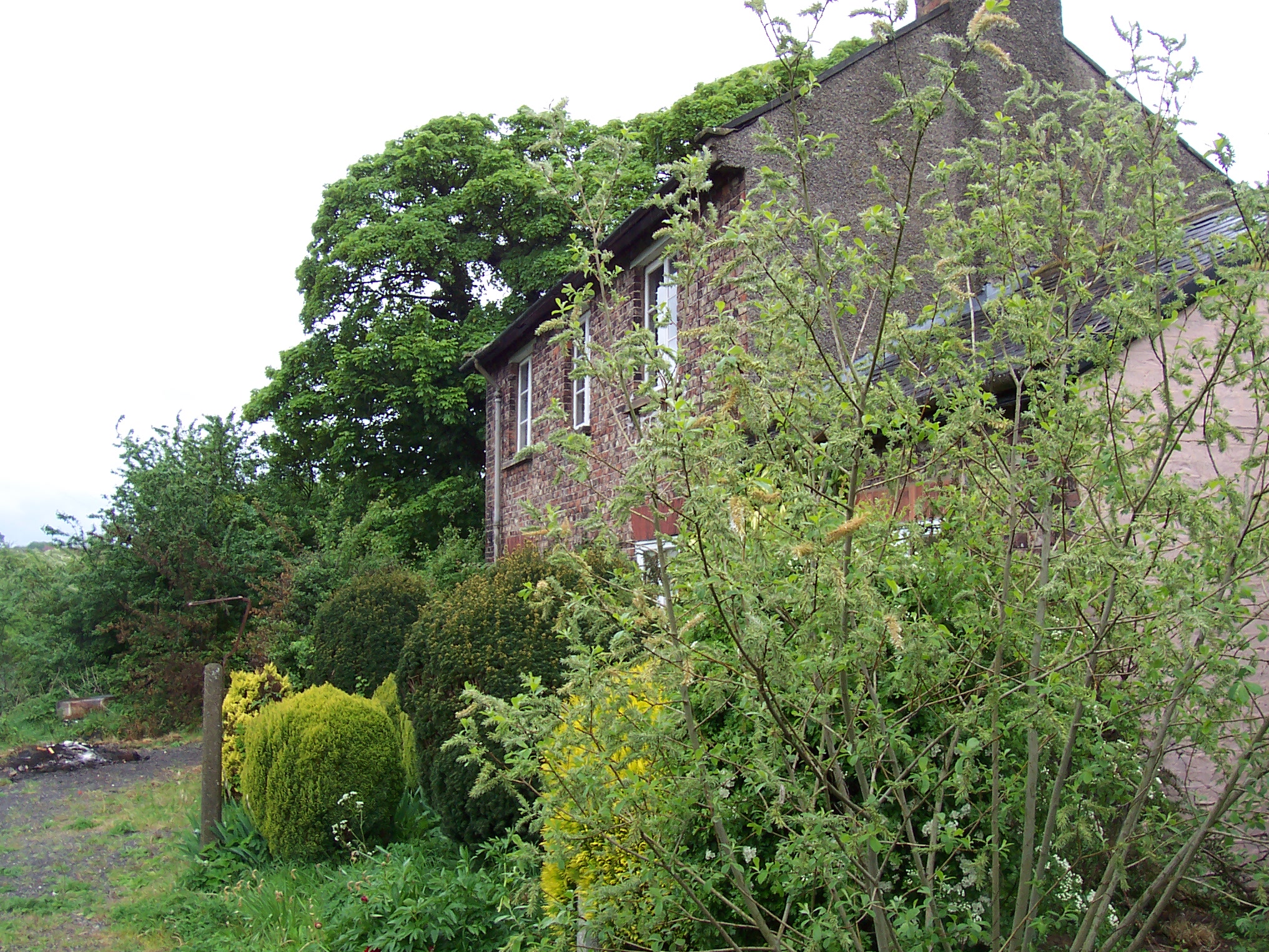
One of the standout features of Court Dale is its charming village, which is comprised of traditional stone cottages and historic buildings. The village exudes a quaint and timeless atmosphere, with its narrow lanes and well-preserved architecture. The local community is warm and welcoming, and visitors can expect a friendly reception in the village's cozy pubs and cafes.
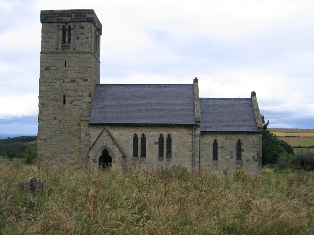
Court Dale also has historical significance, with remnants of ancient settlements and archaeological sites dotting the landscape. These archaeological discoveries provide valuable insights into the region's past, dating back thousands of years.
In summary, Court Dale offers a serene and picturesque retreat for those seeking a peaceful escape in the heart of Yorkshire. Its natural beauty, diverse wildlife, and historical charm make it a must-visit destination for nature lovers and history enthusiasts alike.
If you have any feedback on the listing, please let us know in the comments section below.
Court Dale Images
Images are sourced within 2km of 54.044384/-0.70605816 or Grid Reference SE8461. Thanks to Geograph Open Source API. All images are credited.

Court Dale is located at Grid Ref: SE8461 (Lat: 54.044384, Lng: -0.70605816)
Division: East Riding
Administrative County: North Yorkshire
District: Ryedale
Police Authority: North Yorkshire
What 3 Words
///tastes.vineyard.transmits. Near Fimber, East Yorkshire
Nearby Locations
Related Wikis

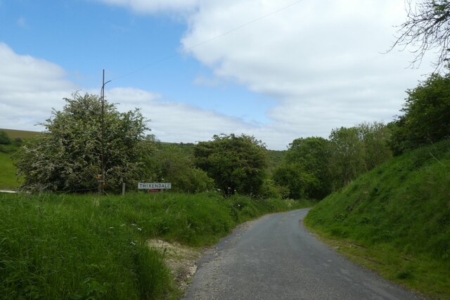
Thixendale
Thixendale is a village and civil parish in North Yorkshire, England. Historically part of the East Riding of Yorkshire, it is located in the Yorkshire...

Burdale railway station
Burdale railway station was a station on the Malton and Driffield Junction Railway in North Yorkshire, England. == History and description == Burdale...

Burdale, North Yorkshire
Burdale is a hamlet in North Yorkshire, England, 8 miles (13 km) south-east of Malton. It lies in a deep valley (or dale), also known as Burdale, in the...

Wharram Percy
Wharram Percy is a deserted medieval village and former civil parish near Wharram-le-Street, now in the parish of Wharram, on the western edge of the chalk...
Wharram
Wharram is a civil parish in North Yorkshire, England. It lies on the Yorkshire Wolds, 6 miles (10 km) south-east of Malton. The principal settlement is...
Fridaythorpe
Fridaythorpe is a village and civil parish in the East Riding of Yorkshire, England. It is situated approximately 8 miles (13 km) north-east of Pocklington...
Wharram railway station
Wharram railway station was opened by the Malton and Driffield Railway in May 1853, serving the village of Wharram-le-Street in North Yorkshire, England...

Buckrose
Buckrose was a wapentake of the historic East Riding of Yorkshire, England consisting of the north-west part of the county; its territory is now partly...
Nearby Amenities
Located within 500m of 54.044384,-0.70605816Have you been to Court Dale?
Leave your review of Court Dale below (or comments, questions and feedback).