Millington Dale

Valley in Yorkshire

England

Millington Dale

The Roman Road
The Roman Road Credit: David Brown

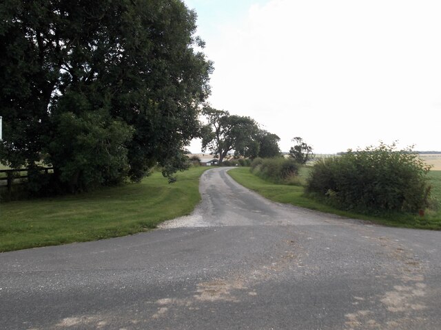
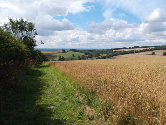
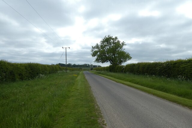
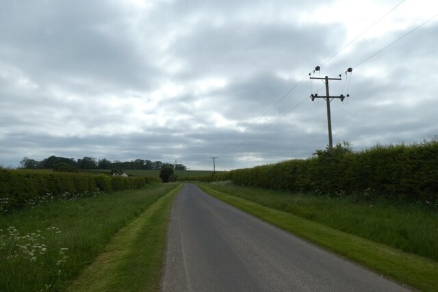
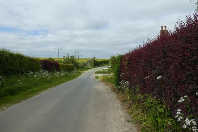
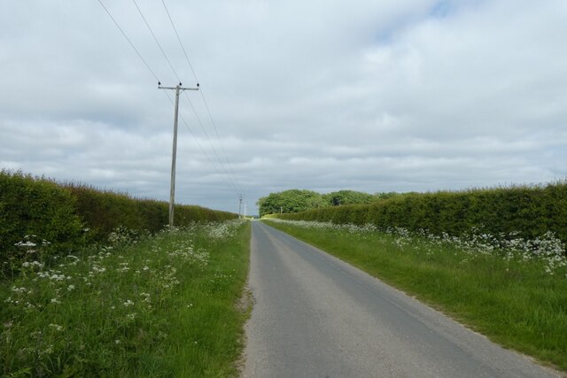
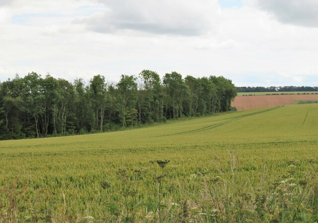
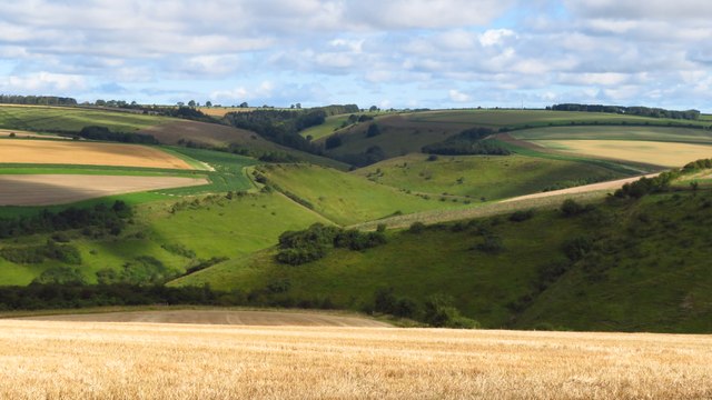
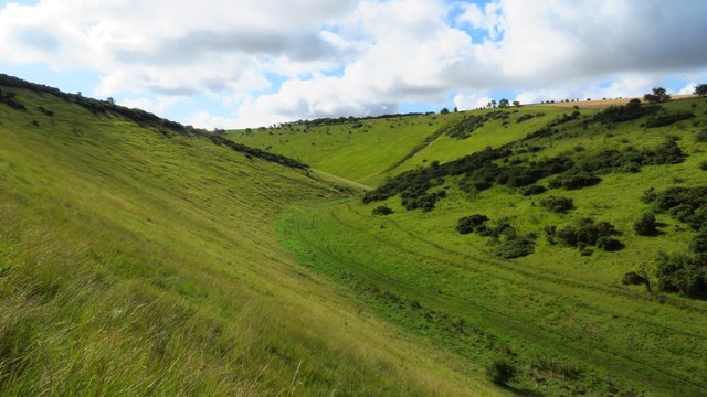
Millington Dale is a picturesque valley located in the East Riding of Yorkshire, England. Nestled within the Yorkshire Wolds, it is known for its stunning natural beauty and tranquil atmosphere. The dale stretches for approximately 6 miles, offering visitors a peaceful and idyllic escape from the hustle and bustle of city life.

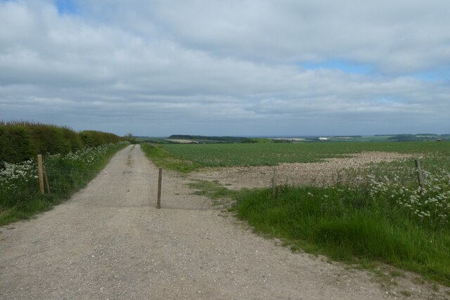
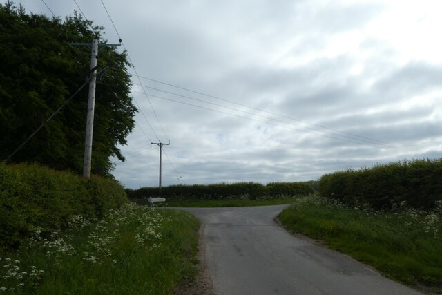
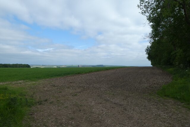
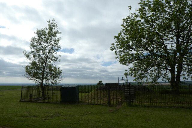
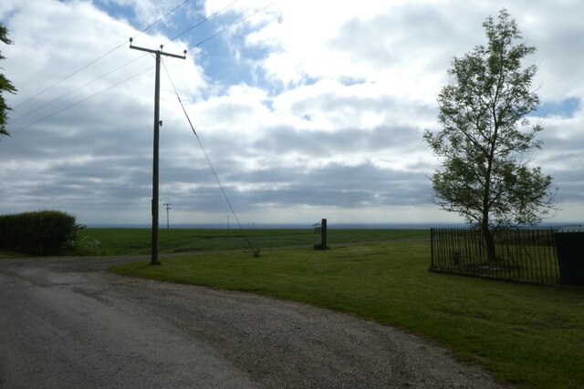
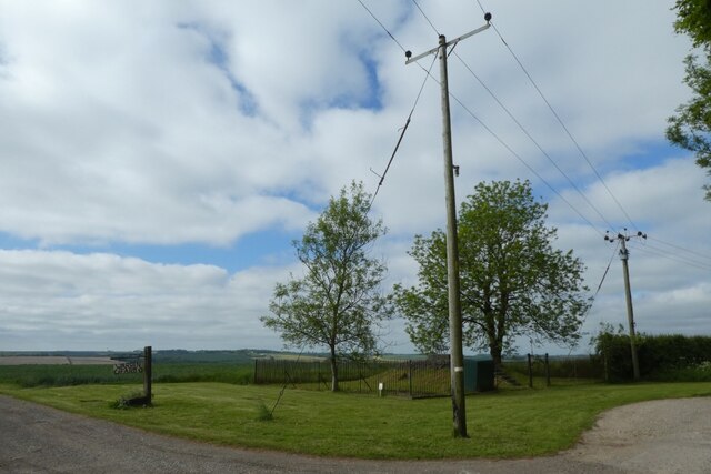
The landscape of Millington Dale is characterized by rolling hills, lush green meadows, and meandering streams. The valley is surrounded by dense woodland, creating a sense of seclusion and serenity. The area is a haven for wildlife, with numerous species of birds, mammals, and plants calling the dale their home.

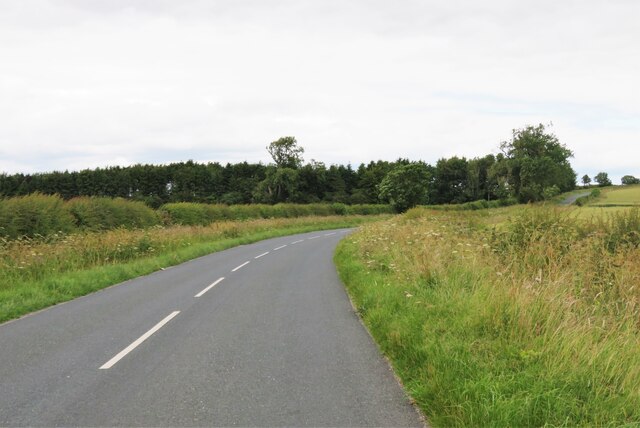
One of the notable features of Millington Dale is its walking trails, which attract hikers and nature enthusiasts from far and wide. The paths wind through the valley, offering glimpses of breathtaking views and opportunities to spot wildlife. The dale is also popular with cyclists, who can enjoy the challenging terrain and scenic routes.

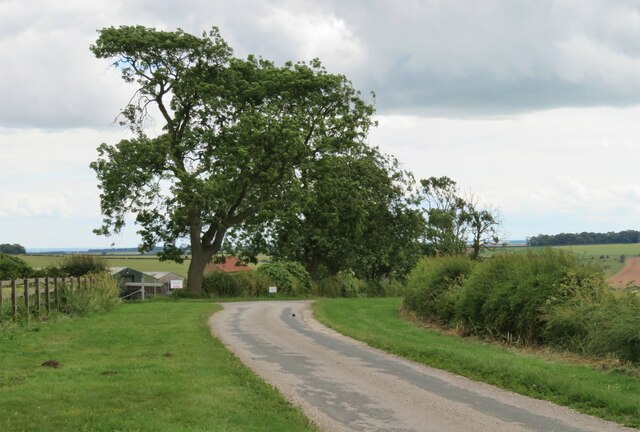
The village of Millington, located at the heart of the dale, is a charming and quaint settlement. It boasts traditional stone houses, a historic church, and a welcoming community. Visitors can explore the village's local amenities, including a cozy pub, a tearoom, and a small shop.

Overall, Millington Dale is a hidden gem in Yorkshire, offering visitors a chance to immerse themselves in the beauty of nature and enjoy a peaceful retreat in a stunning valley setting.

If you have any feedback on the listing, please let us know in the comments section below.

Millington Dale Images

Images are sourced within 2km of 53.972396/-0.71441829 or Grid Reference SE8453. Thanks to Geograph Open Source API. All images are credited.

The Roman Road
The Roman Road
A view across the Vale of York The hills of the Dales easily seen from this fine viewpoint
A view across the Vale of York
The hills of the Dales easily seen from this fine viewpoint
Road south of High Barn Farm Looking along the road towards Cobdale.
Road south of High Barn Farm
Looking along the road towards Cobdale.
Road towards Cobdale Cottage Looking along the road from Huggate.
Road towards Cobdale Cottage
Looking along the road from Huggate.
Road beside Cobdale Cottage Looking along the road which leads to Huggate.
Road beside Cobdale Cottage
Looking along the road which leads to Huggate.
Farm track beside Cobdale Lane Looking across farmland above Thorn Dale.
Farm track beside Cobdale Lane
Looking across farmland above Thorn Dale.
Road junction at Cold Wold Looking along Cobdale Lane.
Road junction at Cold Wold
Looking along Cobdale Lane.
Field near Cold Wold Farm Looking across chalky fields from the road.
Field near Cold Wold Farm
Looking across chalky fields from the road.
Lane near Cold Wold Looking towards the junction with Cobdale Lane.
Lane near Cold Wold
Looking towards the junction with Cobdale Lane.
Fields above Sylvan Dale Looking across farmland near Coldwold Farm.
Fields above Sylvan Dale
Looking across farmland near Coldwold Farm.
Reservoir near Warren Farm Looking towards a reservoir above Millington.
Reservoir near Warren Farm
Looking towards a reservoir above Millington.
Entrance to Warren Farm A footpath leads down the drive to Millington.
Entrance to Warren Farm
A footpath leads down the drive to Millington.
Pylons beside the reservoir Looking towards a reservoir near Warren Farm.
Pylons beside the reservoir
Looking towards a reservoir near Warren Farm.
Fields at Lammas Brow Crop field on the Wolds with the top edge of Millington Wood on the far side. The wood masks the sudden steep drop into Lily Dale.
Fields at Lammas Brow
Crop field on the Wolds with the top edge of Millington Wood on the far side. The wood masks the sudden steep drop into Lily Dale.
Road to Fridaythorpe This might be an unclassified road, but it is full width and carries considerable amounts of traffic from Pocklington to a junction with A166 near Fridaythorpe.
Road to Fridaythorpe
This might be an unclassified road, but it is full width and carries considerable amounts of traffic from Pocklington to a junction with A166 near Fridaythorpe.
Green Balk Green Balk is the name of this lane on old OS maps, but current editions show it as 'Roman Road', which appears likely, and was from somewhere on the Humber to Malton.
Green Balk
Green Balk is the name of this lane on old OS maps, but current editions show it as 'Roman Road', which appears likely, and was from somewhere on the Humber to Malton.
On the Minster Way - view to Millington Dale leading to Scoar Dale
On the Minster Way - view east along Sylvan Dale
Show me another place!

Millington Dale is located at Grid Ref: SE8453 (Lat: 53.972396, Lng: -0.71441829)

Division: East Riding

Unitary Authority: East Riding of Yorkshire

Police Authority: Humberside

What 3 Words

///warned.piston.handover. Near Millington, East Yorkshire

Related Wikis

Millington, East Riding of Yorkshire

Millington is a small village and civil parish in the East Riding of Yorkshire, England. It is situated approximately 2 miles (3.2 km) north-east of Pocklington...

Beckhead Plantation

Beckhead Plantation is a Site of Special Scientific Interest (SSSI) and nature reserve in the East Riding of Yorkshire, England. It is located close to...

Great Givendale

Great Givendale is a hamlet in the East Riding of Yorkshire, England. It is situated approximately 3 miles (5 km) north of Pocklington. Great Givendale...

Ousethorpe

Ousethorpe is a small hamlet in the East Riding of Yorkshire, England. It is situated approximately 1.5 miles (2.4 km) north of Pocklington. It forms part...

Nearby Amenities

Located within 500m of 53.972396,-0.71441829
Barrier: kissing_gate
Lat/Long: 53.9732677/-0.7081093
Millington Pasture
Place: locality
Lat/Long: 53.9727775/-0.7200504
Information: guidepost
Tourism: information
Lat/Long: 53.9732525/-0.7080976
Bench
Lat/Long: 53.9680547/-0.7124564
Passing Place
Lat/Long: 53.969077/-0.7163376
Line Management: branch
Material: wood
Power: pole
Lat/Long: 53.9756606/-0.7102952
Fixme: What happens here? location:transition=yes? Or does it just end?
Line Management: termination
Material: wood
Power: pole
Lat/Long: 53.9750562/-0.7102432
Material: wood
Power: pole
Lat/Long: 53.975642/-0.7091352
The data included in this document is from www.openstreetmap.org. The data is made available under ODbL.

Have you been to Millington Dale?

Leave your review of Millington Dale below (or comments, questions and feedback).