Rabbit Slack
Valley in Yorkshire Ryedale
England
Rabbit Slack
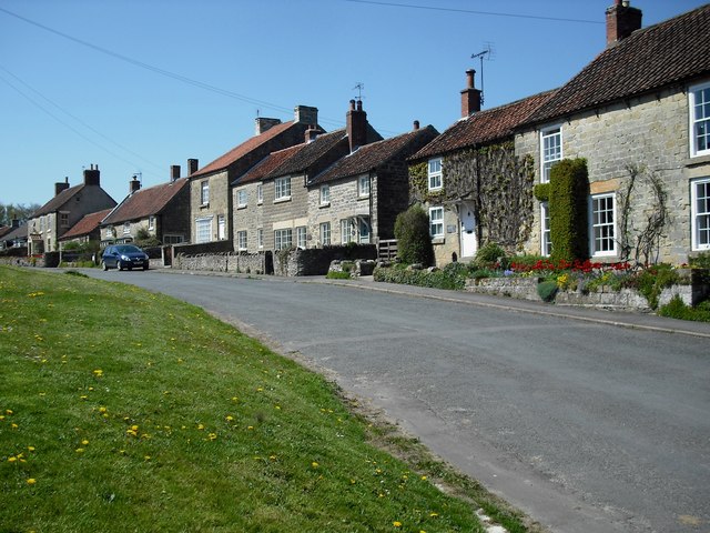
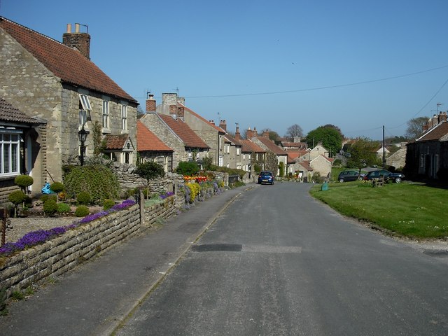
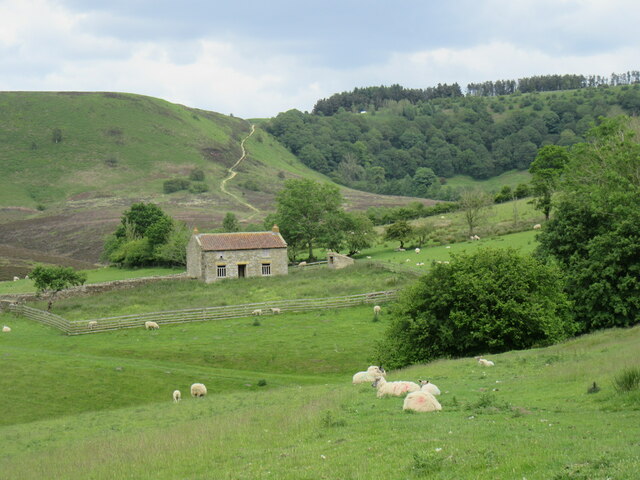
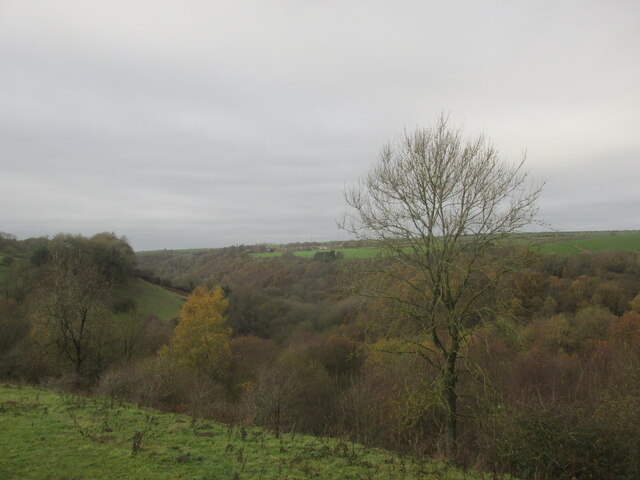
Rabbit Slack, Yorkshire (Valley), is a picturesque and charming village located in the heart of the Yorkshire Dales, England. Nestled amidst rolling hills and lush green countryside, this small hamlet offers a serene and tranquil escape from the bustling city life.
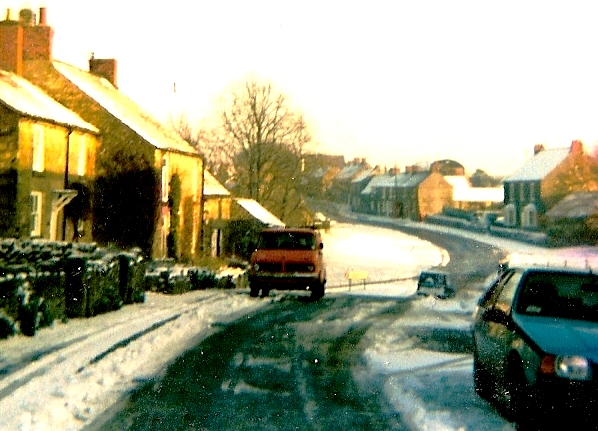
The village is characterized by its traditional stone cottages, which exude a timeless charm and blend seamlessly with the natural beauty of the surroundings. The centerpiece of Rabbit Slack is the village green, a well-maintained area where locals gather for community events and activities.
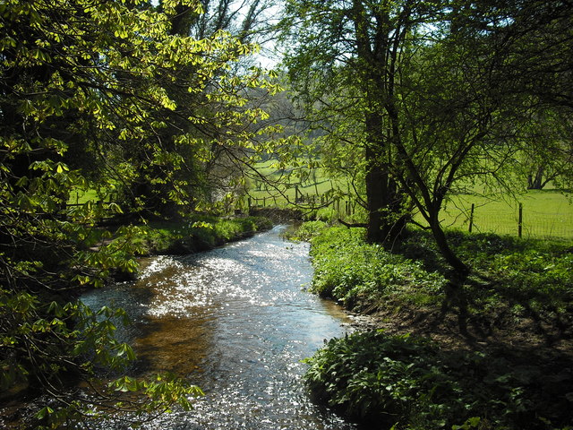
The village is surrounded by breathtaking landscapes, with the Yorkshire Dales National Park providing ample opportunities for outdoor enthusiasts to explore and enjoy nature. Hiking trails, such as the famous Pennine Way, crisscross through the area, offering stunning views of the valleys, limestone cliffs, and wildflower meadows.
Despite its small size, Rabbit Slack boasts a close-knit community, with friendly and welcoming residents who take great pride in their village. The village pub, a quintessential English establishment, serves as a hub for socializing and enjoying traditional pub fare.
For those seeking a taste of local culture, nearby towns and villages offer museums, art galleries, and historical sites. The area is also known for its local produce, with farmers' markets and farm shops offering a wide range of fresh fruits, vegetables, and artisanal products.
In summary, Rabbit Slack, Yorkshire (Valley), is a charming village that perfectly encapsulates the beauty of the Yorkshire Dales. With its idyllic landscapes, warm community spirit, and access to outdoor activities, it is a destination that offers a truly authentic English countryside experience.
If you have any feedback on the listing, please let us know in the comments section below.
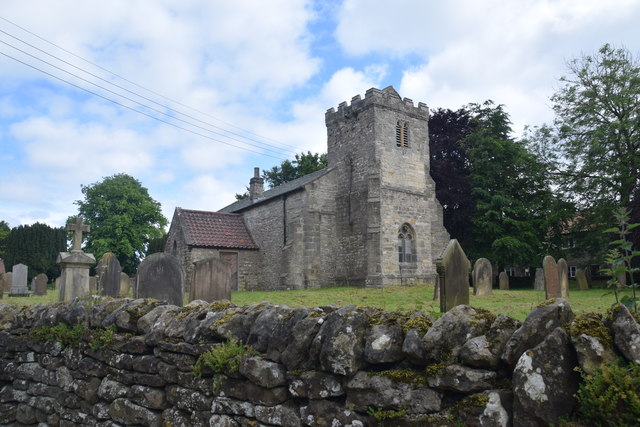
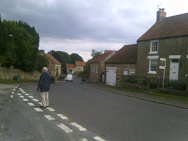
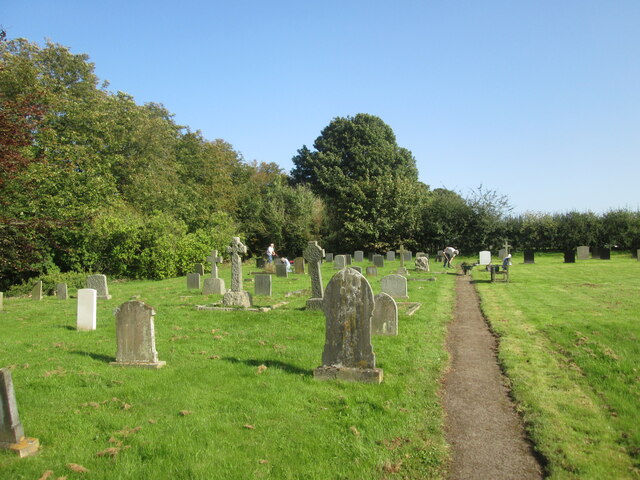
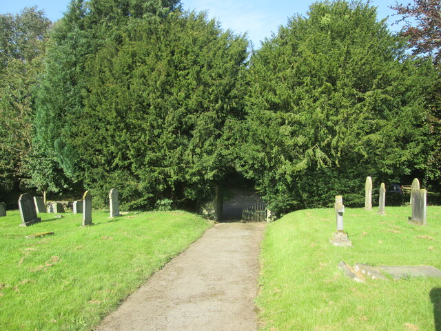
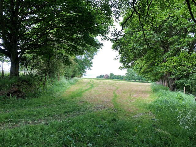
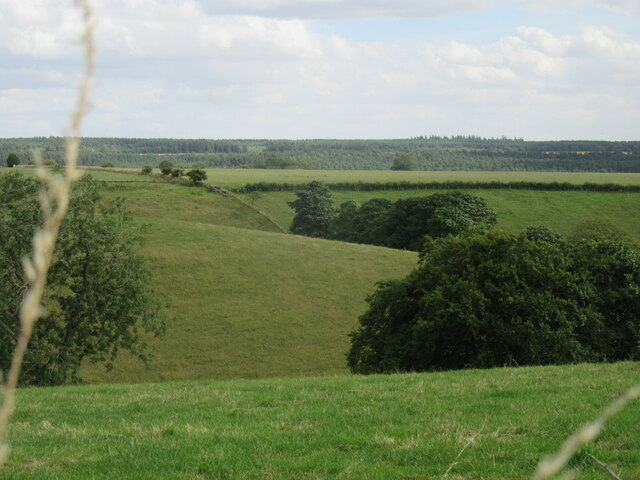
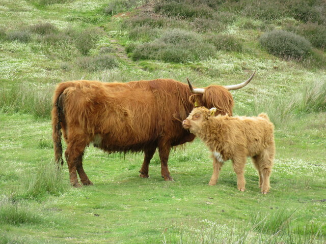
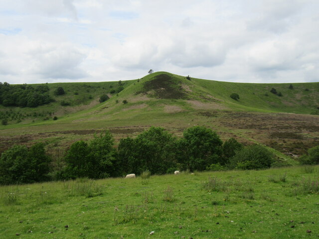
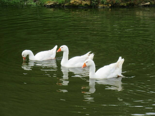
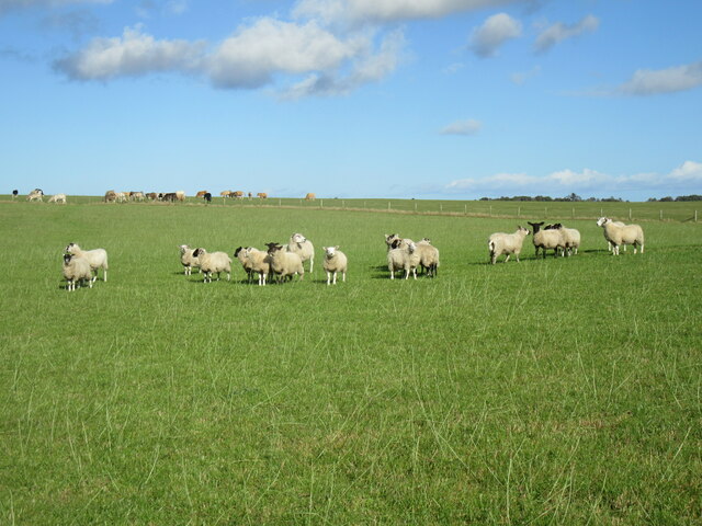
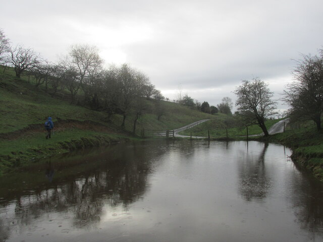
Rabbit Slack Images
Images are sourced within 2km of 54.311578/-0.7039778 or Grid Reference SE8491. Thanks to Geograph Open Source API. All images are credited.

Rabbit Slack is located at Grid Ref: SE8491 (Lat: 54.311578, Lng: -0.7039778)
Division: North Riding
Administrative County: North Yorkshire
District: Ryedale
Police Authority: North Yorkshire
What 3 Words
///provide.soonest.slate. Near Pickering, North Yorkshire
Nearby Locations
Related Wikis

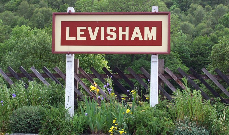
Levisham
Levisham is a small village and civil parish in North Yorkshire, England, located within the North York Moors National Park about 5 miles (8 km) north...

Lockton
Lockton is a small village and civil parish in North Yorkshire, England. It is situated in the North York Moors about 4 miles (6.4 km) north-east of Pickering...

Hole of Horcum
The Hole of Horcum is a section of the valley of the Levisham Beck, upstream of Levisham and Lockton, in the Tabular Hills of the North York Moors National...
Levisham railway station
Levisham railway station is a station on the North Yorkshire Moors Railway and serves the village of Levisham in the North York Moors National Park, North...

Blakey Topping standing stones
Blakey Topping standing stones is a small group of standing stones near the Hole of Horcum in the North York Moors. It sits at the foot of Blakey Topping...

Newton-on-Rawcliffe
Newton-on-Rawcliffe is a village and civil parish (as Newton) in North Yorkshire, England. It is in the North York Moors National Park, 4 miles (6.4 km...

Newton Dale Halt railway station
Newton Dale Halt railway station is a request stop on the North Yorkshire Moors Railway and serves as a stopping off point for walkers around Newton Dale...

14–18 NOW
14–18 NOW was the UK's arts programme for the First World War centenary. Working with arts and heritage partners all across the UK, the programme commissioned...
Related Videos
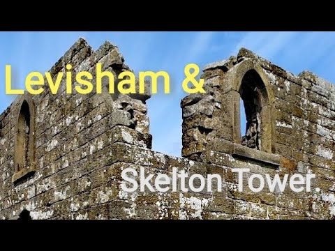
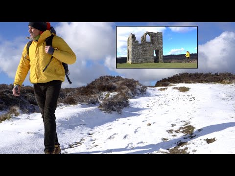
Levisham and Skelton Tower Walk..
This walk begins in the small village of Levisham near Pickering. We leave the village and head for Skelton tower and walking ...
SENDERISMO: Últimas Nevadas y Hiking en el PARQUE NACIONAL.
Senderismo: Últimas Nevadas y Hiking en el PARQUE NACIONAL. 'Cuidemos los Inviernos' Y no dejamos de explorar ...
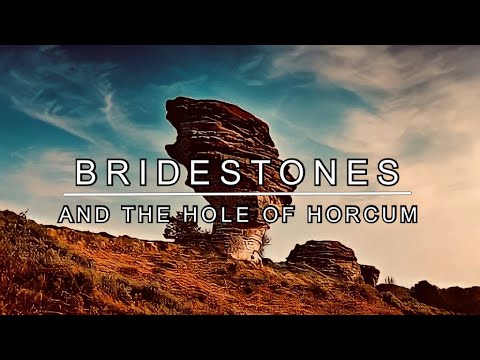
Bridestones and the Hole of Horcum
A hike taking in two areas of North York Moors outstanding areas of natural beauty; the spectacular Bridestones of Dalby Forest ...
Nearby Amenities
Located within 500m of 54.311578,-0.7039778Have you been to Rabbit Slack?
Leave your review of Rabbit Slack below (or comments, questions and feedback).