Thixen Dale

Valley in Yorkshire Ryedale

England

Thixen Dale

Road near Martinholme Farm Looking along the road leading to Thixendale.
Road near Martinholme Farm Credit: DS Pugh

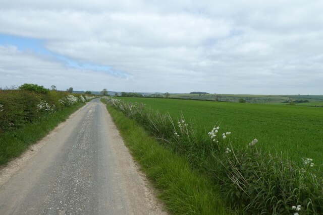
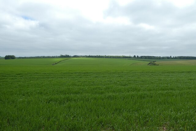
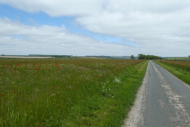
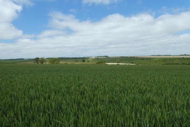
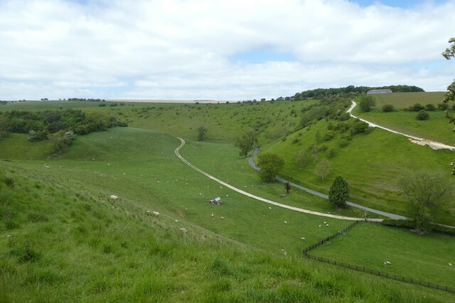
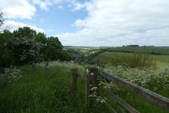
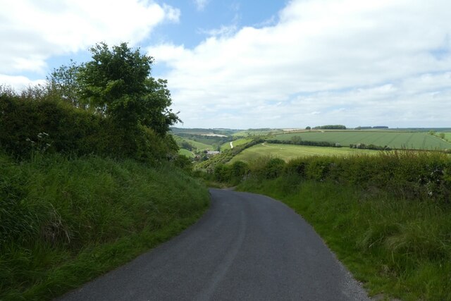
Thixen Dale is a picturesque valley located in Yorkshire, England. Nestled amidst rolling hills and lush greenery, the dale is renowned for its stunning natural beauty and tranquil atmosphere. It lies approximately 10 miles east of the market town of Skipton, making it easily accessible for visitors.

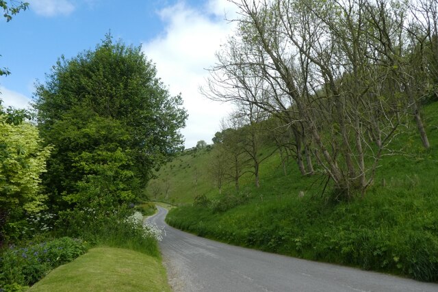
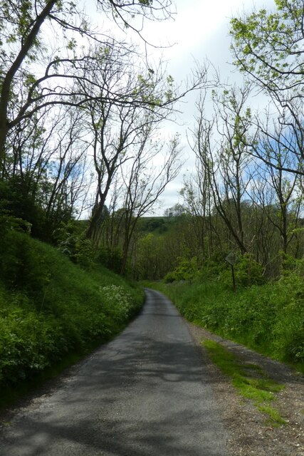
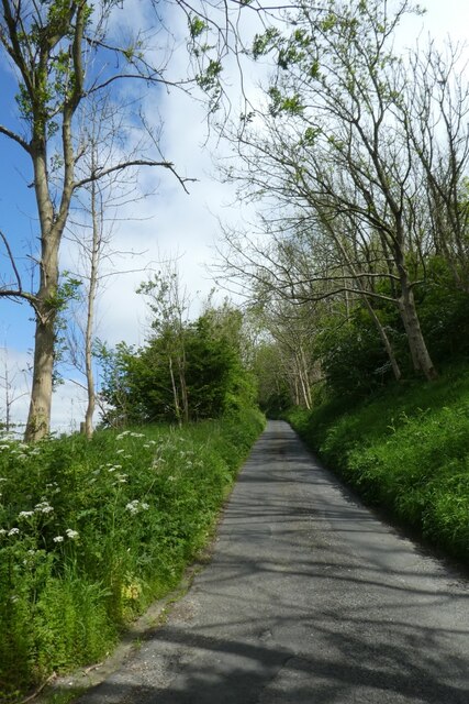
The valley is characterized by its meandering river, Thixen Beck, which flows through the dale, creating a soothing ambiance. The river is flanked by enchanting woodlands, adding to the valley's charm and providing a habitat for various wildlife species. Walking along the riverbank, visitors can enjoy the sights and sounds of nature, including the gentle rustling of leaves and the melodic chirping of birds.

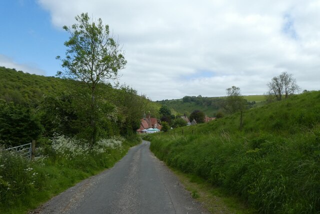
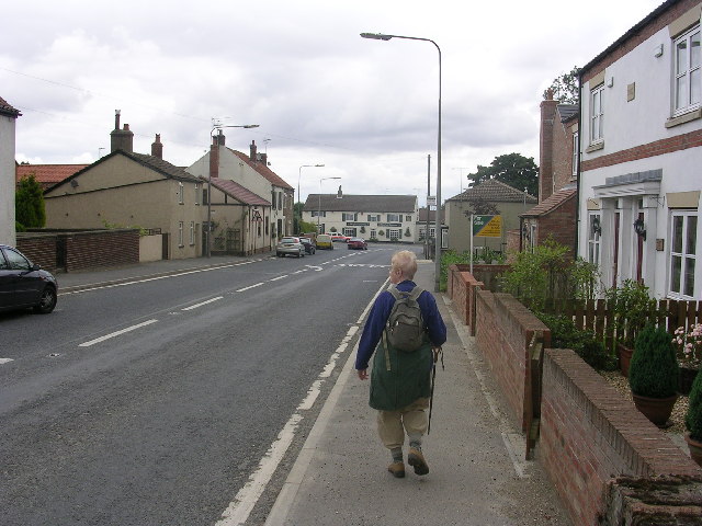
Thixen Dale is also home to a number of picturesque stone cottages and farmhouses, showcasing the traditional architectural style of the region. These buildings add to the valley's charm and provide a glimpse into the area's rural heritage.

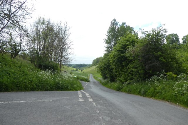
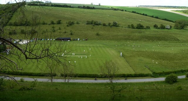
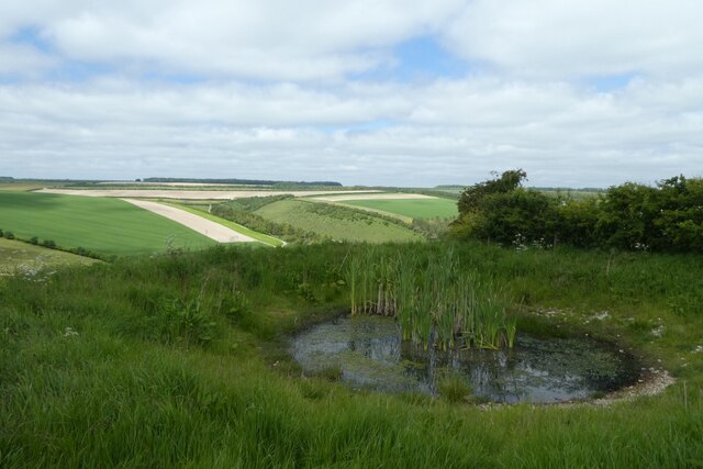
For outdoor enthusiasts, Thixen Dale offers excellent opportunities for hiking and exploring. The valley is crisscrossed with scenic footpaths, allowing visitors to immerse themselves in the stunning natural surroundings. Additionally, there are several viewpoints along the dale, providing panoramic vistas of the surrounding countryside.

Thixen Dale is a hidden gem in Yorkshire, offering a peaceful retreat from the hustle and bustle of city life. Its idyllic setting and natural beauty make it a popular destination for nature lovers and those seeking a tranquil escape in the heart of the English countryside.

If you have any feedback on the listing, please let us know in the comments section below.
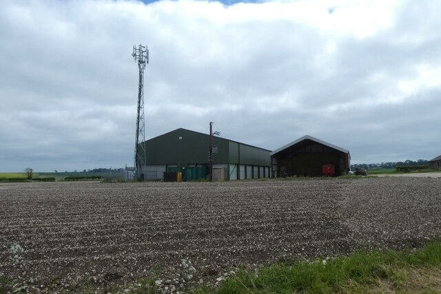
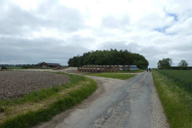
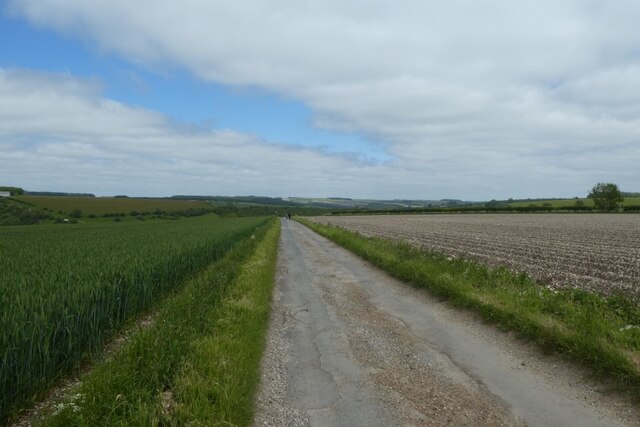
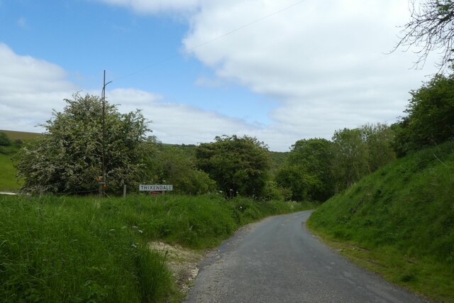
Thixen Dale Images

Images are sourced within 2km of 54.028948/-0.71498003 or Grid Reference SE8459. Thanks to Geograph Open Source API. All images are credited.

Road near Martinholme Farm Looking along the road leading to Thixendale.
Road near Martinholme Farm
Looking along the road leading to Thixendale.
Fields at Martinholme Looking into Long Dale from the road to Thixendale.
Fields at Martinholme
Looking into Long Dale from the road to Thixendale.
Poppies along the road to Thixendale Looking along the road as it starts to descend into the village.
Poppies along the road to Thixendale
Looking along the road as it starts to descend into the village.
Wheat fields above Thixendale Looking across farmland on the tops above the village.
Wheat fields above Thixendale
Looking across farmland on the tops above the village.
Farm buildings above Thixendale A communications mast and farm buildings standing above the village.
Farm buildings above Thixendale
A communications mast and farm buildings standing above the village.
Bales along the road from Thixendale Looking along the road heading away from the village.
Bales along the road from Thixendale
Looking along the road heading away from the village.
Wheat field beside the road Looking along the road as it descends into the village.
Wheat field beside the road
Looking along the road as it descends into the village.
Descending the road into Thixendale Dropping down to the village at the bottom of the dale.
Descending the road into Thixendale
Dropping down to the village at the bottom of the dale.
Steep sided valley Looking down into Thixen Dale to the west of the village.
Steep sided valley
Looking down into Thixen Dale to the west of the village.
Road coming into the village Looking along one of the roads coming into Thixendale.
Road coming into the village
Looking along one of the roads coming into Thixendale.
Road through Water Dale Looking along the road heading towards Fridaythorpe via Water Dale.
Road through Water Dale
Looking along the road heading towards Fridaythorpe via Water Dale.
Road through Thixen Dale With the steep road leading to Fridaythorpe on the left.
Road through Thixen Dale
With the steep road leading to Fridaythorpe on the left.
Road climbing out of Thixendale This road heads to Fridaythorpe by the hilly route.
Road climbing out of Thixendale
This road heads to Fridaythorpe by the hilly route.
Climbing the hill east of Thixendale This road is the hillier route to Fridaythorpe.
Climbing the hill east of Thixendale
This road is the hillier route to Fridaythorpe.
Cricket match from above Looking down on the cricket pitch in Thixendale from a road climbing steeply out of the village.
Cricket match from above
Looking down on the cricket pitch in Thixendale from a road climbing steeply out of the village.
Pool above Thixendale Looking across Water Dale from a road leading up and out of the village towards Fridaythorpe.
Pool above Thixendale
Looking across Water Dale from a road leading up and out of the village towards Fridaythorpe.
Gate above Thixendale The gate is near to a small pond beside the road above the village.
Gate above Thixendale
The gate is near to a small pond beside the road above the village.
Road above Water Dale The road descends steeply into Thixendale.
Road above Water Dale
The road descends steeply into Thixendale.
Show me another place!

Thixen Dale is located at Grid Ref: SE8459 (Lat: 54.028948, Lng: -0.71498003)

Division: East Riding

Administrative County: North Yorkshire

District: Ryedale

Police Authority: North Yorkshire

What 3 Words

///mavericks.lots.life. Near Kirby Underdale, East Yorkshire

Related Wikis

Thixendale

Thixendale is a village and civil parish in North Yorkshire, England. Historically part of the East Riding of Yorkshire, it is located in the Yorkshire...

Uncleby

Uncleby is a hamlet in the East Riding of Yorkshire, England. It forms part of the civil parish of Kirby Underdale. It is situated approximately 6.5 miles...

Painsthorpe

Painsthorpe is a hamlet in the East Riding of Yorkshire, England. It is located about 1 mile (1.6 km) east of the village of Kirby Underdale, the area...

Fridaythorpe

Fridaythorpe is a village and civil parish in the East Riding of Yorkshire, England. It is situated approximately 8 miles (13 km) north-east of Pocklington...

Nearby Amenities

Located within 500m of 54.028948,-0.71498003
Barrier: kissing_gate
Source: survey;gps
Lat/Long: 54.0274466/-0.713459
Passing Place
Lat/Long: 54.0314715/-0.7131873
Information: guidepost
Tourism: information
Lat/Long: 54.0320172/-0.7173955
Material: wood
Power: pole
Lat/Long: 54.0332356/-0.7151418
Material: wood
Power: pole
Lat/Long: 54.0326409/-0.7158614
Material: wood
Power: pole
Lat/Long: 54.0318691/-0.7168003
Material: wood
Power: pole
Lat/Long: 54.031455/-0.7182308
Material: wood
Power: pole
Lat/Long: 54.0311594/-0.7191535
Material: wood
Power: pole
Lat/Long: 54.0308125/-0.7204477
Material: wood
Power: pole
Lat/Long: 54.0304352/-0.72174
The data included in this document is from www.openstreetmap.org. The data is made available under ODbL.

Have you been to Thixen Dale?

Leave your review of Thixen Dale below (or comments, questions and feedback).