Millington Pasture
Downs, Moorland in Yorkshire
England
Millington Pasture
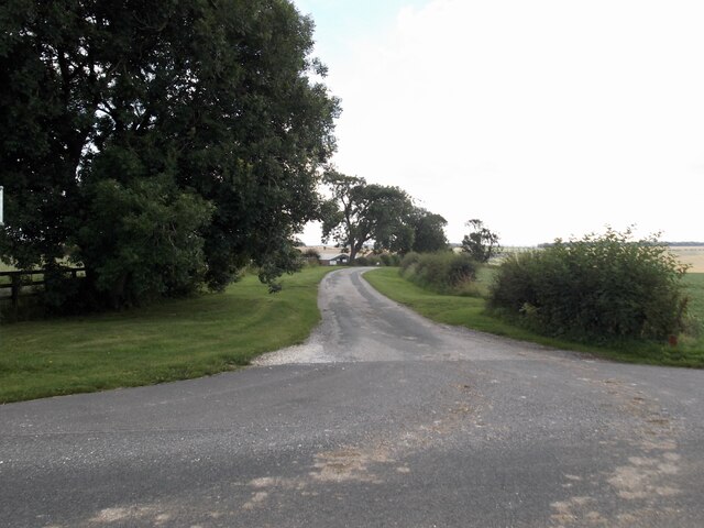
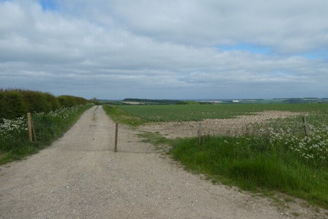
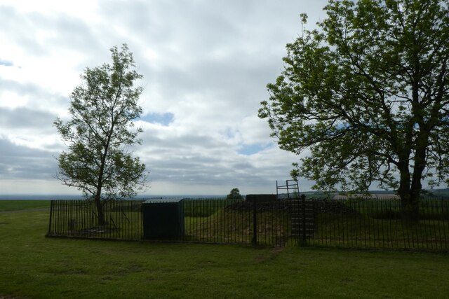
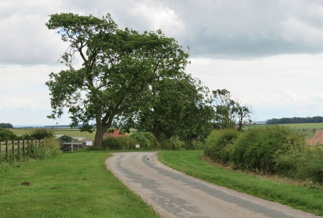
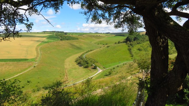
Millington Pasture, located in the county of Yorkshire, is a picturesque area known for its stunning landscapes and diverse natural beauty. Nestled between the Yorkshire Downs and Moorland, this pastoral expanse offers visitors a tranquil escape from the bustle of modern life.
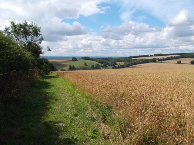
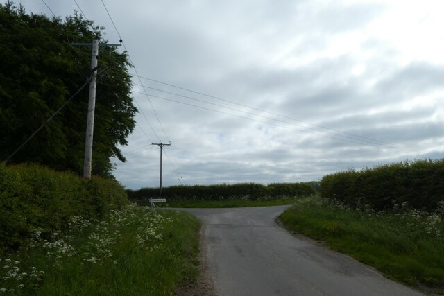
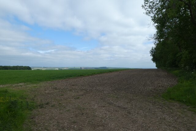
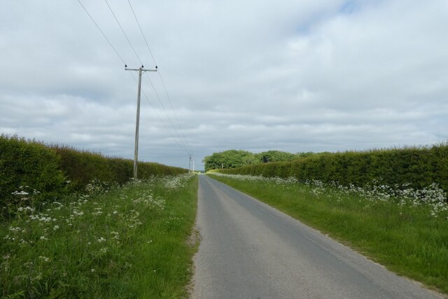
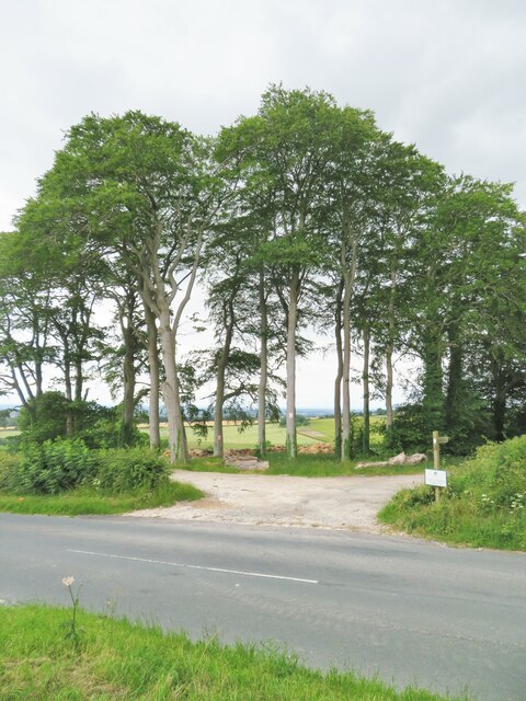
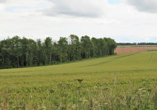
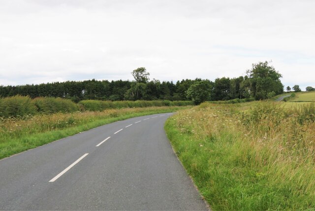
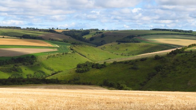
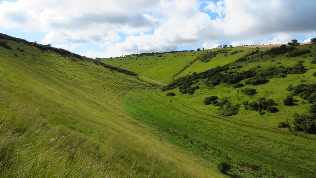
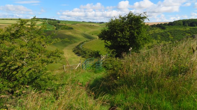
Covering an area of approximately 500 acres, Millington Pasture boasts rolling hills, lush green meadows, and scattered woodlands. The terrain is characterized by its gentle slopes and undulating landscape, providing visitors with breathtaking views from every vantage point. The area is crisscrossed with walking trails, making it a haven for hikers and nature enthusiasts.
The flora and fauna of Millington Pasture are abundant and diverse. The meadows are adorned with vibrant wildflowers during the spring and summer months, creating a kaleidoscope of colors. The woodlands are home to a variety of tree species, including oak, beech, and birch, providing a haven for numerous bird species and small mammals.
The tranquility of Millington Pasture is enhanced by the absence of human development. There are no buildings or structures within the pasture, allowing visitors to fully immerse themselves in the natural environment. The lack of light pollution also makes it an ideal location for stargazing, offering a glimpse into the wonders of the night sky.
Millington Pasture truly offers a peaceful retreat for those seeking solace in nature. Its idyllic landscapes, diverse wildlife, and untouched beauty make it a must-visit destination for anyone exploring the Yorkshire region.
If you have any feedback on the listing, please let us know in the comments section below.
Millington Pasture Images
Images are sourced within 2km of 53.973294/-0.72026058 or Grid Reference SE8453. Thanks to Geograph Open Source API. All images are credited.

Millington Pasture is located at Grid Ref: SE8453 (Lat: 53.973294, Lng: -0.72026058)
Division: East Riding
Unitary Authority: East Riding of Yorkshire
Police Authority: Humberside
What 3 Words
///mixer.rebel.limits. Near Millington, East Yorkshire
Nearby Locations
Related Wikis

Millington, East Riding of Yorkshire
Millington is a small village and civil parish in the East Riding of Yorkshire, England. It is situated approximately 2 miles (3.2 km) north-east of Pocklington...

Beckhead Plantation
Beckhead Plantation is a Site of Special Scientific Interest (SSSI) and nature reserve in the East Riding of Yorkshire, England. It is located close to...

Great Givendale
Great Givendale is a hamlet in the East Riding of Yorkshire, England. It is situated approximately 3 miles (5 km) north of Pocklington. Great Givendale...

Ousethorpe
Ousethorpe is a small hamlet in the East Riding of Yorkshire, England. It is situated approximately 1.5 miles (2.4 km) north of Pocklington. It forms part...

Bishop Wilton Wold
Bishop Wilton Wold is the highest point of the Yorkshire Wolds in the East Riding of Yorkshire, England. The summit, known as Garrowby Hill, lies about...
Kilnwick Percy
Kilnwick Percy is a village and former civil parish, now in the parish of Nunburnholme, in the East Riding of Yorkshire, England. It is situated approximately...

Huggate
Huggate is a village and civil parish in the East Riding of Yorkshire, England. It is situated approximately 13 miles (21 km) north-west of Beverley town...
Warter Priory
Warter Priory is an 11,000 acres (4,500 ha) country estate in the East Riding of Yorkshire Yorkshire Wolds, centred 1 mile (2 km) south-west of the village...
Nearby Amenities
Located within 500m of 53.973294,-0.72026058Have you been to Millington Pasture?
Leave your review of Millington Pasture below (or comments, questions and feedback).