Gally Moor
Downs, Moorland in Yorkshire
England
Gally Moor

Gally Moor is a vast expanse of rich and diverse moorland located in Yorkshire, England. Situated in the southern region of the county, it forms a significant part of the Yorkshire Downs, one of the most picturesque and ecologically important areas in the country.
Covering an area of approximately 1,500 hectares, Gally Moor is characterized by its rolling hills, heather-covered moors, and scattered patches of woodland. The landscape presents a stunning tapestry of colors throughout the year, with vibrant purple heather dominating the scenery during the summer months.
The moorland is home to a variety of wildlife, including several bird species like red grouse, skylarks, and curlews. It is also an important habitat for ground-nesting birds, such as lapwings and golden plovers. Visitors may also catch a glimpse of the elusive short-eared owl or the rare black grouse.
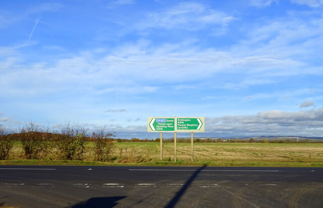
Gally Moor is crisscrossed by a network of footpaths and trails, making it an ideal destination for walkers, hikers, and nature enthusiasts. These routes offer breathtaking views of the surrounding countryside, with distant glimpses of the Yorkshire Dales and Pennines on clear days.
The moorland also holds historical significance, with remnants of Bronze Age settlements and stone circles scattered throughout the area. These ancient artifacts provide a glimpse into the lives of the people who once inhabited this land.
Overall, Gally Moor offers a serene and tranquil escape for those seeking to immerse themselves in the natural beauty of the Yorkshire Downs. Its vastness, diverse wildlife, and rich history make it a truly captivating destination.
If you have any feedback on the listing, please let us know in the comments section below.
Gally Moor Images
Images are sourced within 2km of 53.848089/-0.72484234 or Grid Reference SE8339. Thanks to Geograph Open Source API. All images are credited.


Gally Moor is located at Grid Ref: SE8339 (Lat: 53.848089, Lng: -0.72484234)
Division: East Riding
Unitary Authority: East Riding of Yorkshire
Police Authority: Humberside
What 3 Words
///ghosts.seashell.obey. Near Market Weighton, East Yorkshire
Nearby Locations
Related Wikis

Everingham railway station
Everingham railway station was a station on the Selby to Driffield Line in the East Riding of Yorkshire, England serving the hamlet of Harswell. It opened...

Harswell
Harswell is a village and former civil parish, now in the parish of Everingham, in the East Riding of Yorkshire, England. It is approximately 3.5 miles...

Holme Hall, East Riding of Yorkshire
Holme Hall is a grade II* listed 18th-century country house in Holme-on-Spalding-Moor, East Riding of Yorkshire, England. It was then a Sue Ryder Care...
Shiptonthorpe
Shiptonthorpe is a village and civil parish in the East Riding of Yorkshire, England. It is situated approximately 5 miles (8 km) south-east of the market...
Holme-on-Spalding-Moor
Holme-on-Spalding-Moor (also known as Holme-upon-Spalding-Moor) is a large village and civil parish in the East Riding of Yorkshire, England. It is situated...
Londesborough railway station
Londesborough railway station was a station on the York to Beverley Line in the East Riding of Yorkshire, England. It opened on 4 October 1847 and served...

Ss Mary & Everilda, Everingham
The Chapel of St. Mary the Virgin and St. Everilda, in the village of Everingham in the East Riding of Yorkshire, England, is an impressive Italianate...

Holme Moor railway station
Holme Moor railway station was a station on the Selby to Driffield Line in the East Riding of Yorkshire, England serving the village of Holme-on-Spalding...
Nearby Amenities
Located within 500m of 53.848089,-0.72484234Have you been to Gally Moor?
Leave your review of Gally Moor below (or comments, questions and feedback).