Salthill Park
Downs, Moorland in Sussex Chichester
England
Salthill Park

Salthill Park is a picturesque green space located in Sussex, England. Situated on the Sussex Downs, this park offers a serene and tranquil environment for visitors to enjoy. Covering an area of approximately 50 acres, it boasts a diverse landscape consisting of rolling hills, expansive moorland, and lush meadows.
The park is a popular destination for nature enthusiasts and outdoor enthusiasts alike. It is home to a rich variety of flora and fauna, including wildflowers, heather, and various species of birds. The park's diverse terrain makes it an ideal spot for hiking and walking, with several well-marked trails winding through its scenic surroundings.
Salthill Park also features several amenities to enhance visitors' experiences. There are picnic areas scattered throughout the park, providing the perfect setting for a leisurely outdoor meal. Additionally, there are designated areas for sports and recreational activities, including football fields and tennis courts.
One of the park's main attractions is its panoramic views of the surrounding countryside. From certain vantage points, visitors can enjoy breathtaking vistas of the Sussex Downs and the rolling countryside beyond. These stunning views make Salthill Park a popular spot for photography enthusiasts, who come to capture the beauty of the landscape.
Overall, Salthill Park offers a peaceful retreat from the hustle and bustle of everyday life. Its natural beauty, recreational facilities, and stunning views make it a must-visit destination for anyone seeking a tranquil outdoor experience in Sussex.
If you have any feedback on the listing, please let us know in the comments section below.
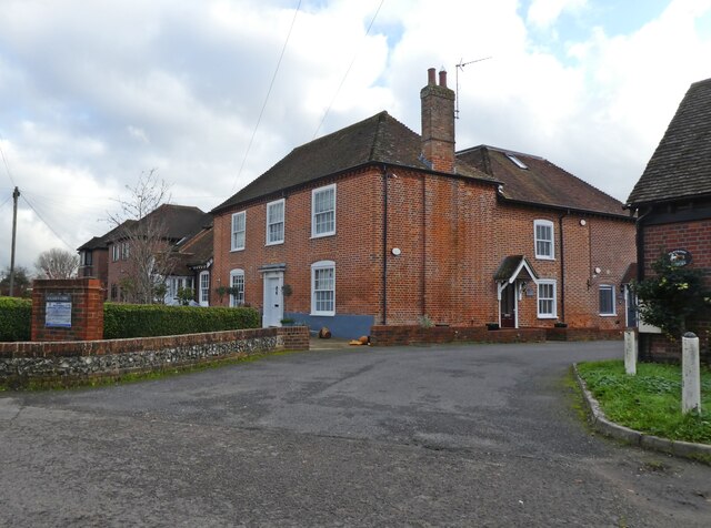
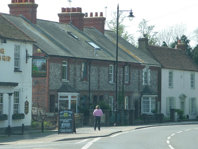
Salthill Park Images
Images are sourced within 2km of 50.846921/-0.80741317 or Grid Reference SU8405. Thanks to Geograph Open Source API. All images are credited.


Salthill Park is located at Grid Ref: SU8405 (Lat: 50.846921, Lng: -0.80741317)
Administrative County: West Sussex
District: Chichester
Police Authority: Sussex
What 3 Words
///friends.scales.shame. Near Chichester, West Sussex
Nearby Locations
Related Wikis

Fishbourne railway station
Fishbourne railway station serves the village of Fishbourne, West Sussex, England. It is 30 miles 12 chains (30.15 miles, 48.52 km) from Brighton.The London...

Bishop Luffa School
Bishop Luffa School, named after a former Bishop of Chichester, Ralph de Luffa, is a co-educational Church of England secondary school located in Chichester...

Sennicotts
Sennicotts is a small estate near Chichester, West Sussex, England, formed in 1809 by Charles Baker (1761–1839) having retired after serving in Madras...
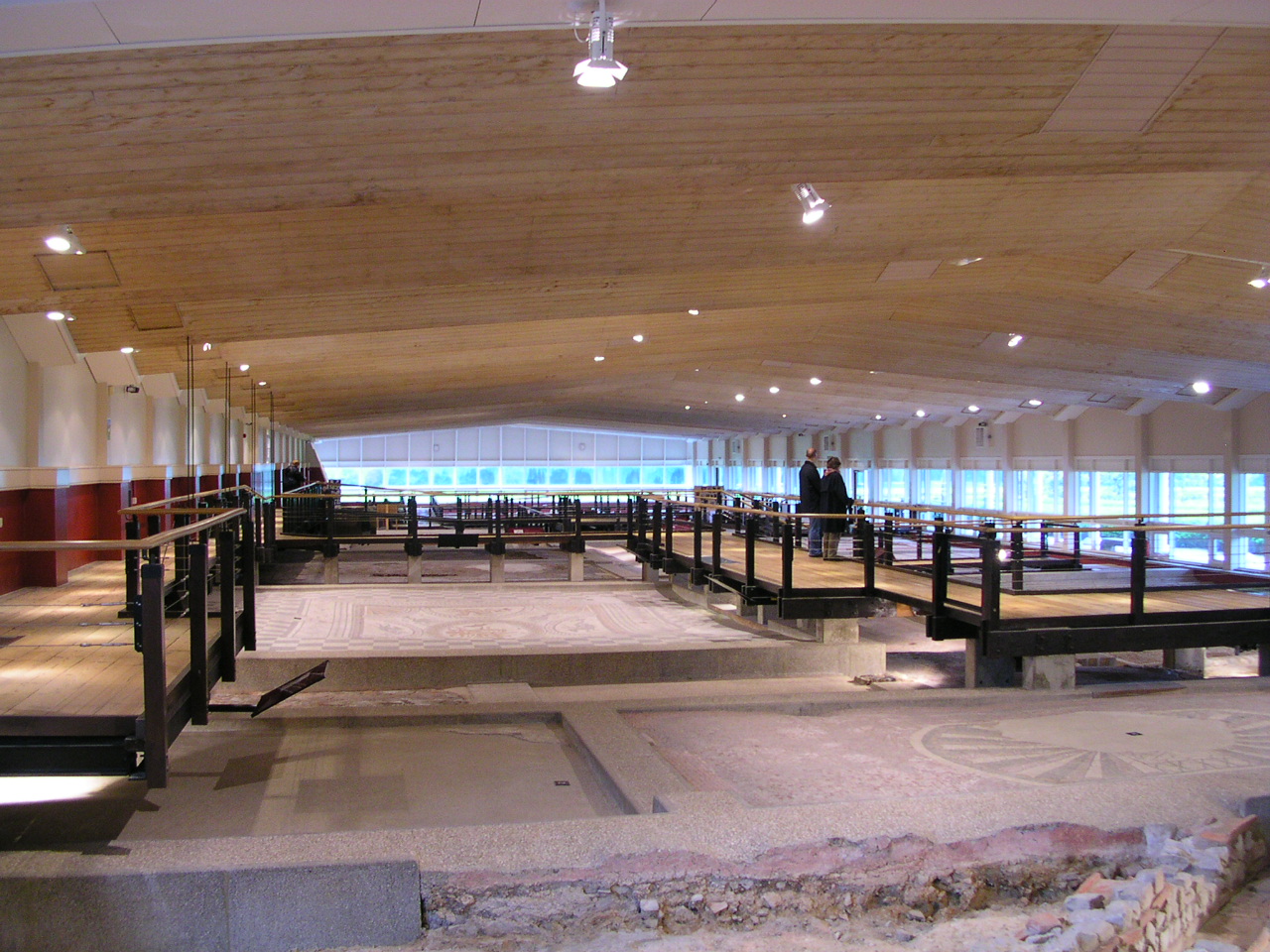
Fishbourne Roman Palace
Fishbourne Roman Palace or Fishbourne Villa is in the village of Fishbourne, near Chichester in West Sussex. The palace is the largest Roman residence...

Brandy Hole Copse
Brandy Hole Copse is a 6.5-hectare (16-acre) Local Nature Reserve on the western outskirts of Chichester in West Sussex. It is owned and managed by Chichester...
Fishbourne, West Sussex
Fishbourne is a village and civil parish in the Chichester District of West Sussex, England and is situated two miles (3.2 km) west of Chichester. The...
Fishbourne F.C.
Fishbourne Football Club is a football club based in Sidlesham, near Chichester, West Sussex, England. Originally named Sidlesham Football Club and based...

Chichester West (electoral division)
Chichester West is an electoral division of West Sussex in the United Kingdom, and returns one member to sit on West Sussex County Council. The current...
Nearby Amenities
Located within 500m of 50.846921,-0.80741317Have you been to Salthill Park?
Leave your review of Salthill Park below (or comments, questions and feedback).