Scotland Bottoms
Valley in Yorkshire
England
Scotland Bottoms
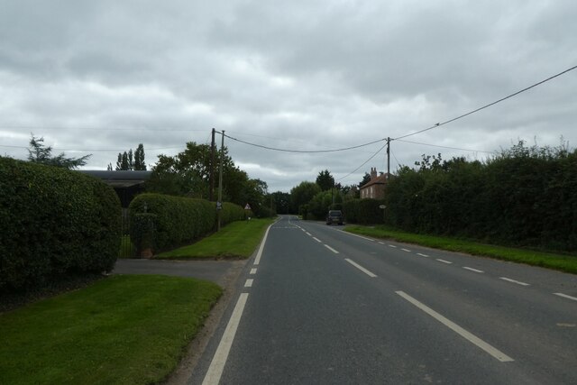
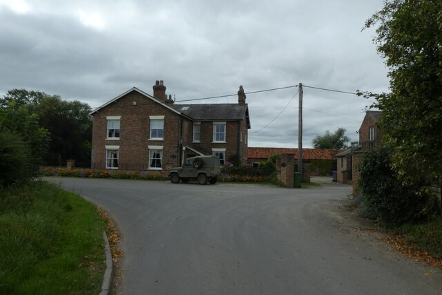
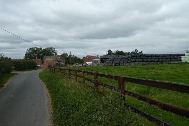
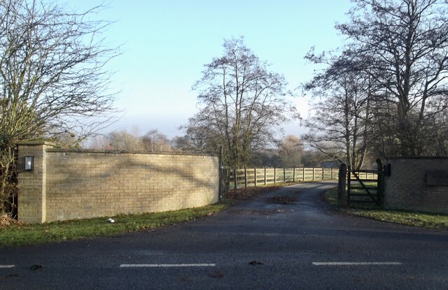
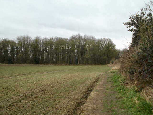
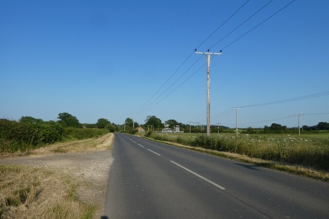
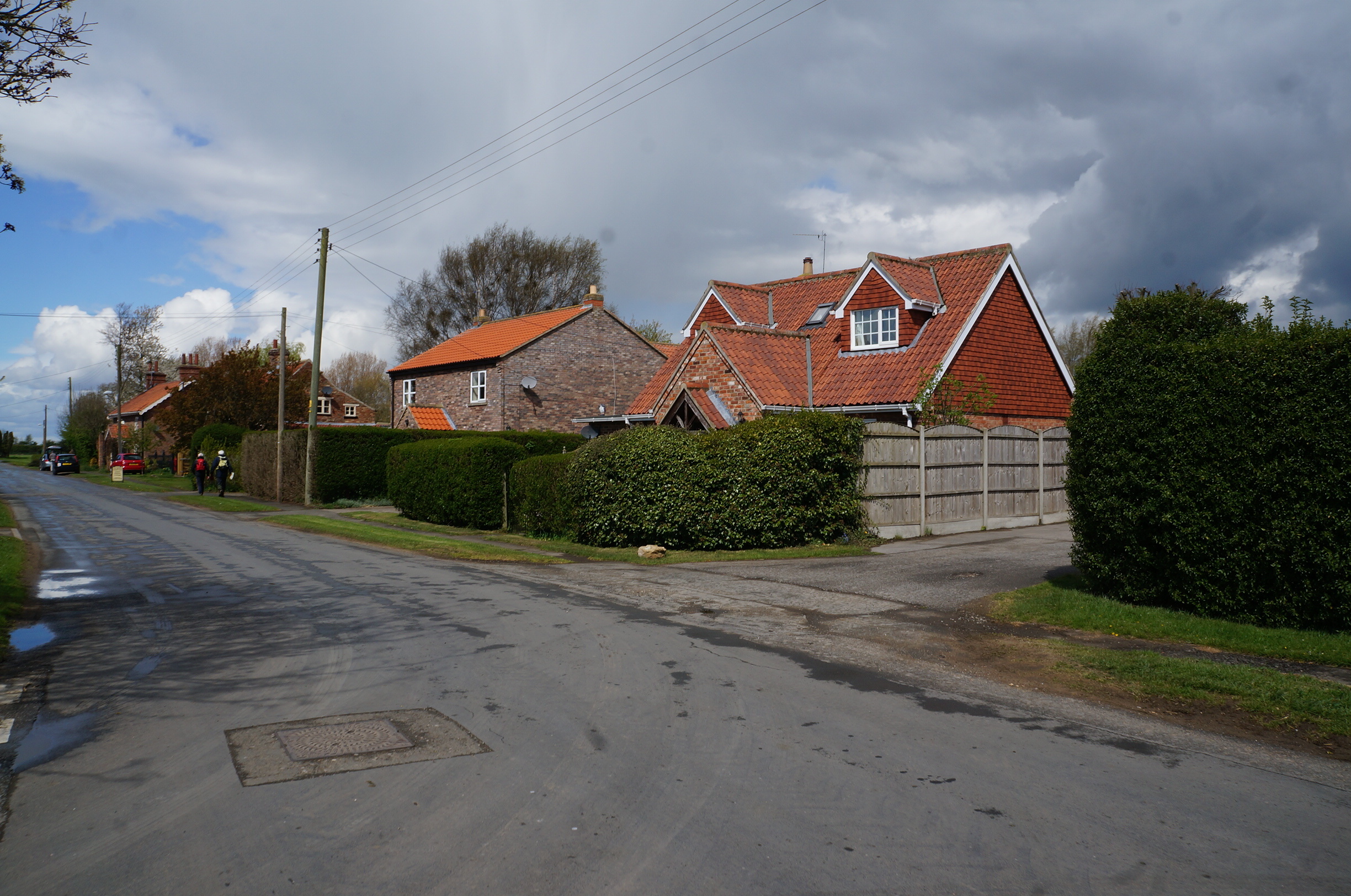
Scotland Bottoms is a picturesque valley located in Yorkshire, England. Nestled between rolling hills and surrounded by lush greenery, this valley offers a serene and tranquil escape from the bustling city life. The name "Scotland Bottoms" is derived from the Scottish settlers who once inhabited this area, leaving behind their cultural influence and heritage.
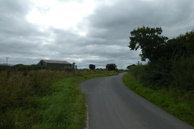
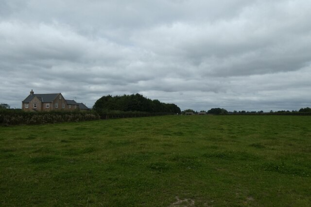
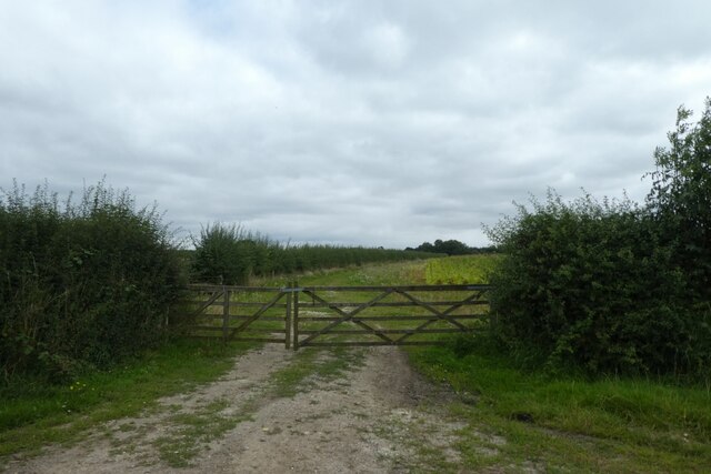
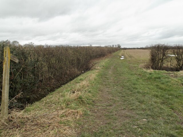
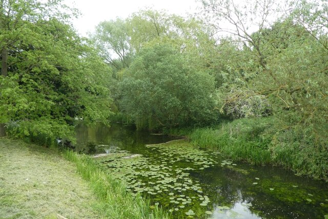
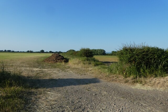
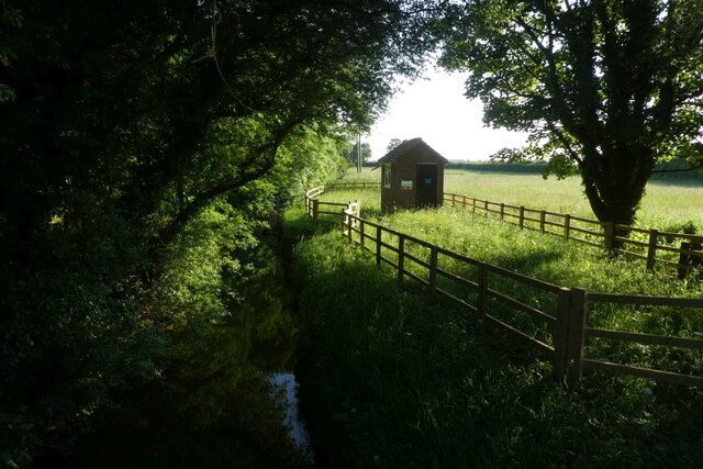
The valley is renowned for its stunning natural beauty and is a popular destination for nature enthusiasts and hikers. The landscape is characterized by gently sloping hills, meandering streams, and charming woodlands. Walking trails crisscross the valley, allowing visitors to explore its hidden gems, including cascading waterfalls, ancient ruins, and breathtaking viewpoints.
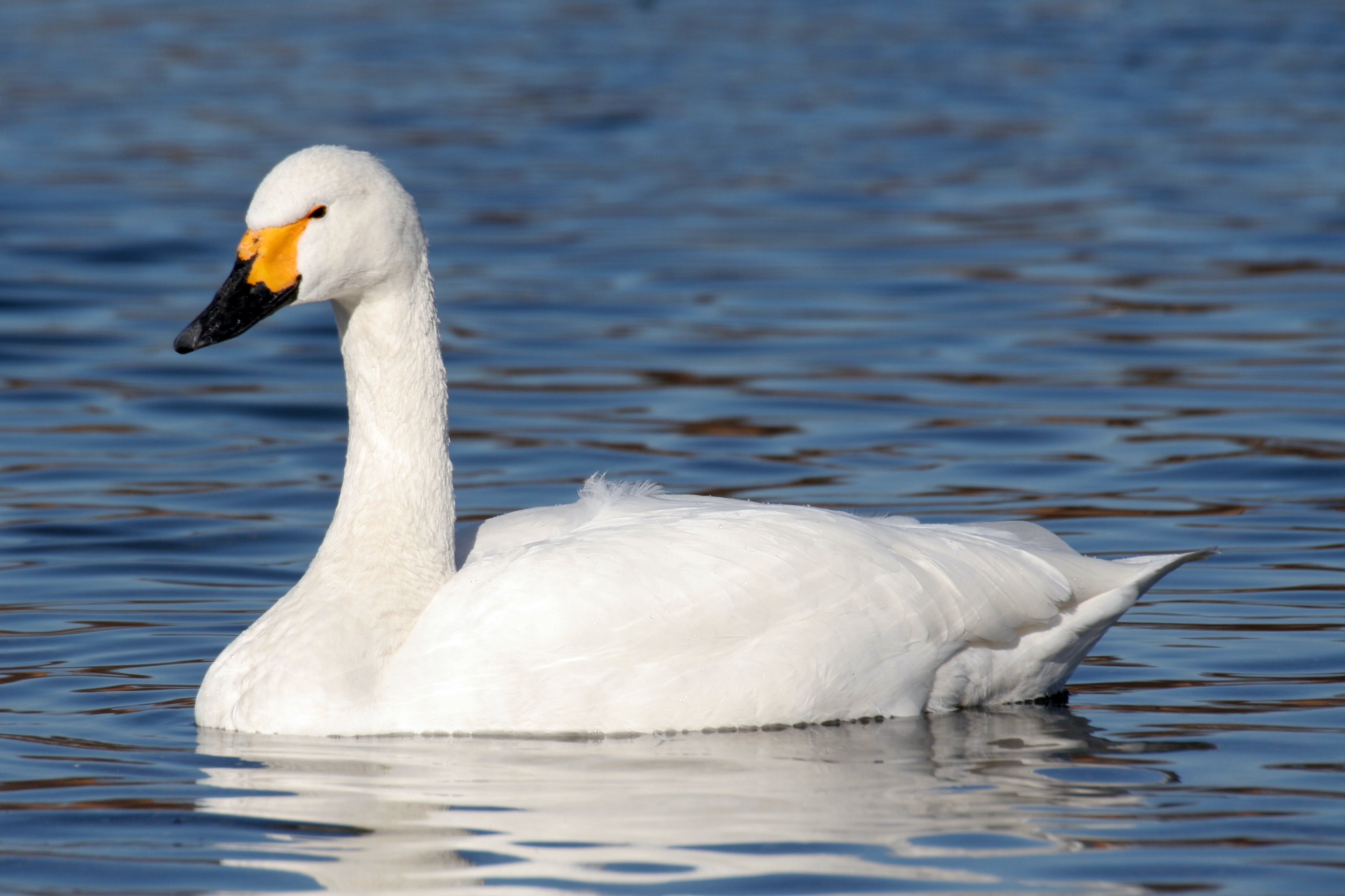
Wildlife is abundant in Scotland Bottoms, with various species of birds, deer, and other animals calling this valley their home. It is not uncommon to spot red squirrels darting through the trees or catch a glimpse of a majestic buzzard soaring overhead.
The valley is also known for its rich history, with evidence of human habitation dating back to the prehistoric era. Archaeological sites in the area provide a glimpse into the lives of early settlers, and remnants of ancient settlements can still be seen today.
Visitors to Scotland Bottoms can enjoy a range of outdoor activities, such as picnicking, fishing, and camping. The valley is also a popular spot for photography enthusiasts, who are drawn to the area's natural beauty and scenic vistas.
Overall, Scotland Bottoms offers a truly idyllic escape for those seeking tranquility, natural beauty, and a glimpse into Yorkshire's rich history.
If you have any feedback on the listing, please let us know in the comments section below.
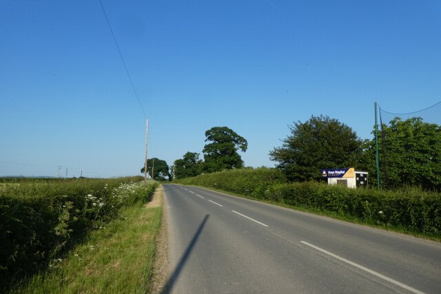
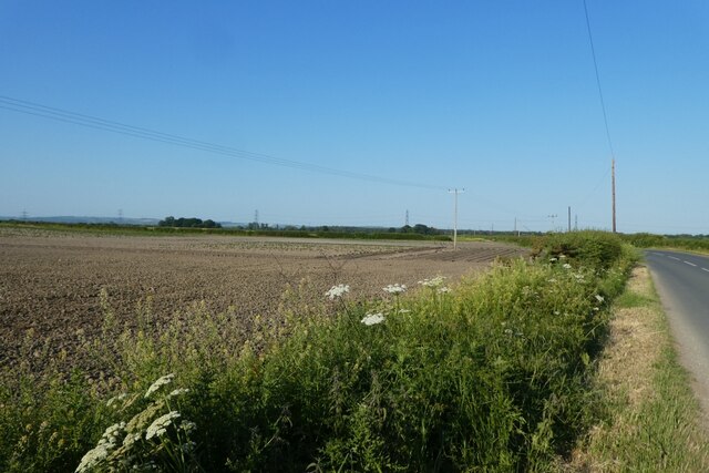
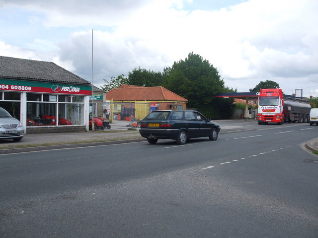
Scotland Bottoms Images
Images are sourced within 2km of 53.901379/-0.901023 or Grid Reference SE7245. Thanks to Geograph Open Source API. All images are credited.
Scotland Bottoms is located at Grid Ref: SE7245 (Lat: 53.901379, Lng: -0.901023)
Division: East Riding
Unitary Authority: East Riding of Yorkshire
Police Authority: Humberside
What 3 Words
///lashed.appoints.proud. Near Sutton upon Derwent, East Yorkshire
Nearby Locations
Related Wikis

Storwood
Storwood is a hamlet and former civil parish, now in the parish of Cottingwith, East Riding of Yorkshire, England. It is situated approximately 6 miles...

Sutton upon Derwent
Sutton upon Derwent is a small village and civil parish on the River Derwent in the East Riding of Yorkshire, England, approximately 8 miles (13 km) to...
Derwent Ings
Derwent Ings is a Site of Special Scientific Interest (SSSI) divided between North Yorkshire and the East Riding of Yorkshire, England. Derwent Ings is...

Sutton Bridge, Yorkshire
Sutton Bridge is a historic bridge in Yorkshire, in England. The bridge crosses the River Derwent, linking Elvington in the City of York with Sutton-upon...
Elvington, North Yorkshire
Elvington is a village and civil parish in the City of York, lying approximately 7 miles (11 km) south-east of York, England, on the B1228 York-Howden...

Melbourne, East Riding of Yorkshire
Melbourne is a village and civil parish in the East Riding of Yorkshire, England. It is situated approximately 8 miles (13 km) west of the market town...

Thicket Priory
Thicket Priory is a religious house in the civil parish of Thorganby, North Yorkshire, England, located about 7 miles (11.3 km) south-east of York. It...
Thornton, East Riding of Yorkshire
Thornton is a village and civil parish in the East Riding of Yorkshire, England. It is situated approximately 3.5 miles (5.6 km) south-west of the town...
Related Videos
Pocklington Canal, East Riding - 12 June 2022
A 12 mile walk from Pocklington. The route first heads west to Allerthorpe and then onto Allerthorpe Common before heading ...
The Vesta Curry Incident #Blooper #shorts
Vesta Curry #Blooper #shorts - This is a pooper blooper :p.
Paradise Lakeside Lodges York
With my daughter Kirsty's wedding cancelled due to lock down restrictions, we did the next best thing and grabbed a last minute ...

RETURN TO PARADISE (LAKESIDE LODGES!)
See our first visit to Paradise... https://youtu.be/s7P4AzwAthE A surprise birthday treat takes us back to our favourite fishing haunt, ...
Nearby Amenities
Located within 500m of 53.901379,-0.901023Have you been to Scotland Bottoms?
Leave your review of Scotland Bottoms below (or comments, questions and feedback).