The Bottoms
Valley in Yorkshire
England
The Bottoms
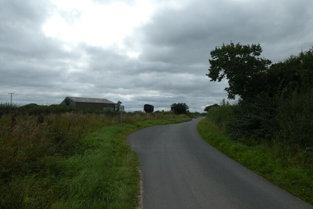
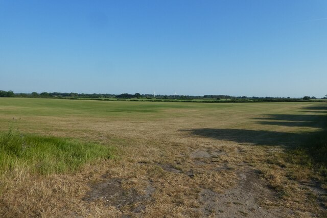
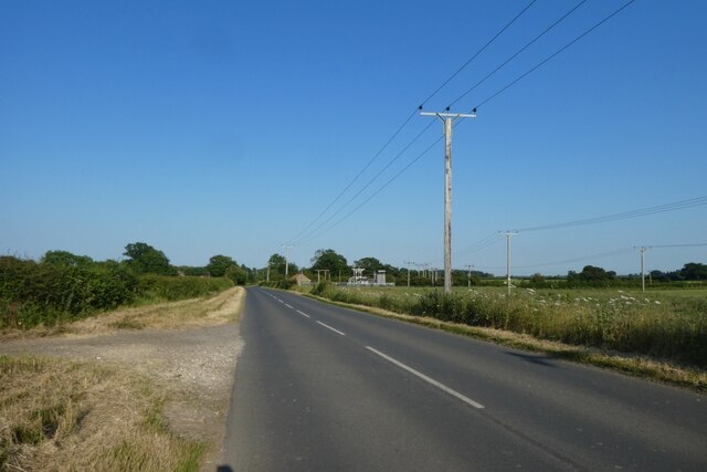
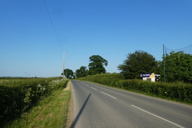
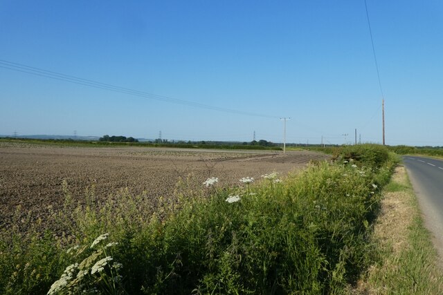
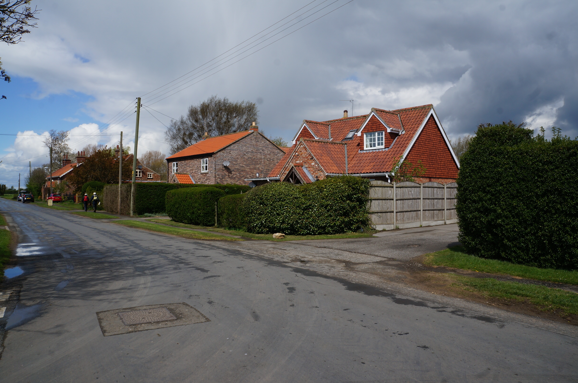
The Bottoms, Yorkshire, also known as the Valley, is a picturesque area located in the county of Yorkshire, England. Nestled among rolling hills and surrounded by lush greenery, this small valley is renowned for its natural beauty and tranquil atmosphere.
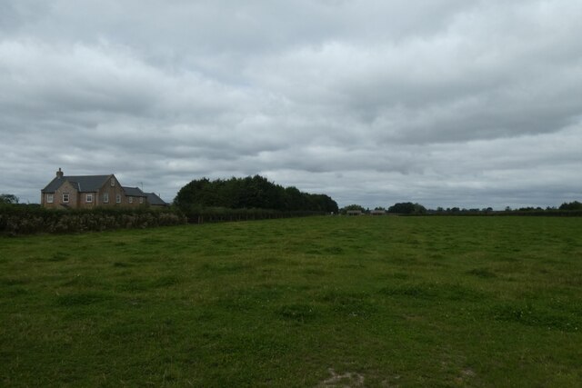
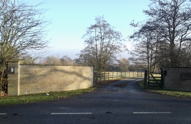
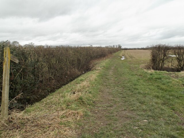
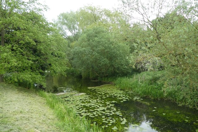
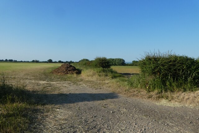
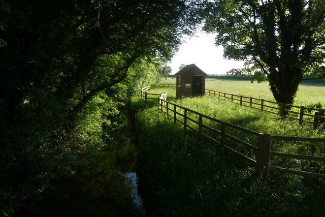
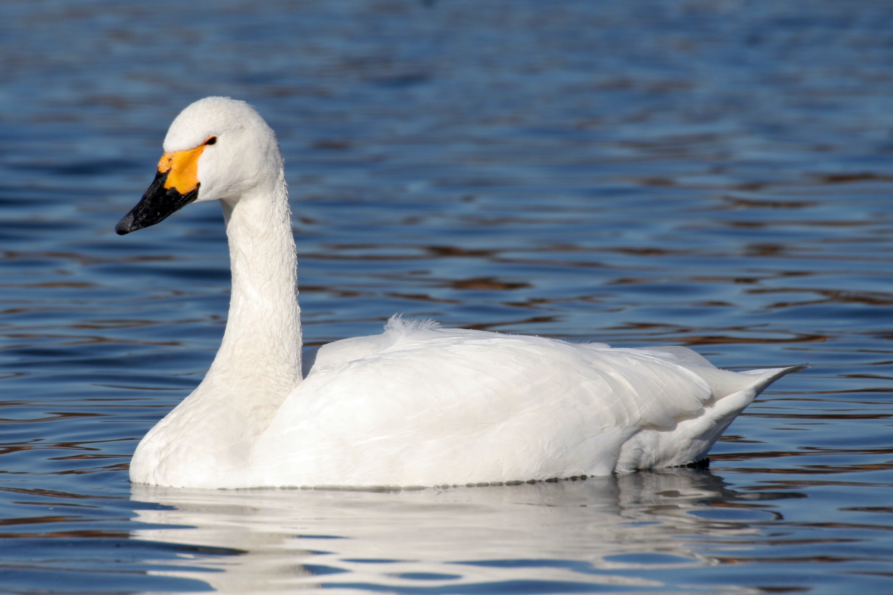
The Bottoms is characterized by its idyllic landscapes, including meandering streams and babbling brooks that cut through the valley. The area is dotted with charming cottages and farmhouses, adding to its rustic charm. The valley is rich in flora and fauna, with an abundance of wildflowers, ancient woodlands, and diverse wildlife, making it a haven for nature lovers and outdoor enthusiasts.
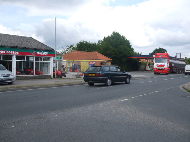
The Bottoms is also home to a close-knit community, with friendly locals who take pride in their surroundings. The residents here are known for their warmth and hospitality, welcoming visitors and offering a glimpse into the rural Yorkshire way of life.
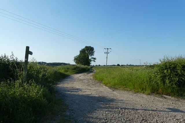
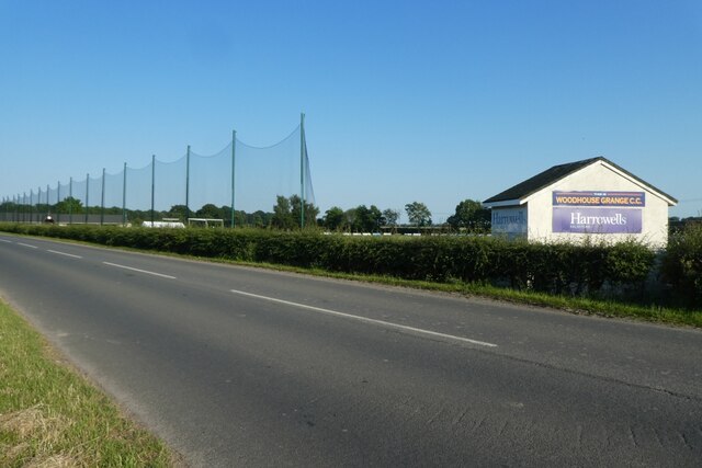
In addition to its natural beauty, The Bottoms offers several recreational activities for visitors to enjoy. The valley is a popular destination for hiking and walking, with numerous trails that provide breathtaking views of the surrounding countryside. The meandering streams are also perfect for fishing and offer a peaceful setting for picnics and relaxation.
With its stunning landscapes, friendly community, and range of outdoor activities, The Bottoms, Yorkshire, is a hidden gem that offers a peaceful retreat for those seeking solace in nature. Whether it's exploring the countryside or simply soaking in the tranquil ambiance, this valley has something to offer for everyone.
If you have any feedback on the listing, please let us know in the comments section below.
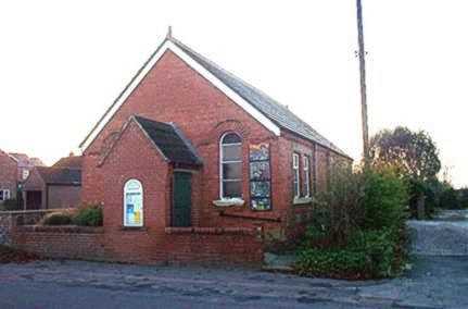
The Bottoms Images
Images are sourced within 2km of 53.903975/-0.89692131 or Grid Reference SE7245. Thanks to Geograph Open Source API. All images are credited.


The Bottoms is located at Grid Ref: SE7245 (Lat: 53.903975, Lng: -0.89692131)
Division: East Riding
Unitary Authority: East Riding of Yorkshire
Police Authority: Humberside
What 3 Words
///avoiding.sling.trump. Near Sutton upon Derwent, East Yorkshire
Nearby Locations
Related Wikis

Sutton upon Derwent
Sutton upon Derwent is a small village and civil parish on the River Derwent in the East Riding of Yorkshire, England, approximately 8 miles (13 km) to...

Storwood
Storwood is a hamlet and former civil parish, now in the parish of Cottingwith, East Riding of Yorkshire, England. It is situated approximately 6 miles...
Derwent Ings
Derwent Ings is a Site of Special Scientific Interest (SSSI) divided between North Yorkshire and the East Riding of Yorkshire, England. Derwent Ings is...

Sutton Bridge, Yorkshire
Sutton Bridge is a historic bridge in Yorkshire, in England. The bridge crosses the River Derwent, linking Elvington in the City of York with Sutton-upon...
Elvington, North Yorkshire
Elvington is a village and civil parish in the City of York, lying approximately 7 miles (11 km) south-east of York, England, on the B1228 York-Howden...

Melbourne, East Riding of Yorkshire
Melbourne is a village and civil parish in the East Riding of Yorkshire, England. It is situated approximately 8 miles (13 km) west of the market town...
Thornton, East Riding of Yorkshire
Thornton is a village and civil parish in the East Riding of Yorkshire, England. It is situated approximately 3.5 miles (5.6 km) south-west of the town...
Newton upon Derwent
Newton upon Derwent or Newton on Derwent is a village and civil parish in the East Riding of Yorkshire, England. It is situated approximately 5 miles...
Nearby Amenities
Located within 500m of 53.903975,-0.89692131Have you been to The Bottoms?
Leave your review of The Bottoms below (or comments, questions and feedback).