Scotland Hill
Hill, Mountain in Yorkshire
England
Scotland Hill
Scotland Hill is a picturesque hill located in the county of Yorkshire, England. Situated in the Yorkshire Dales National Park, it offers stunning panoramic views of the surrounding countryside. With an elevation of approximately 400 meters, it is classified as a hill rather than a mountain.
The hill is known for its rugged and wild beauty, with its slopes covered in lush greenery and heather, providing a haven for various species of wildlife. From the summit, visitors can enjoy breathtaking vistas of rolling hills, deep valleys, and meandering rivers that typify the Yorkshire Dales landscape.
Scotland Hill is a popular destination for outdoor enthusiasts and hikers, offering a range of walking trails to suit different abilities. The paths meander through the hillside, providing opportunities to explore the area's natural beauty and discover hidden gems along the way. The hill's location within the national park means it is well-preserved and offers a tranquil and peaceful atmosphere.
In addition to its natural allure, Scotland Hill is also steeped in history. The area is dotted with ancient archaeological sites, including burial mounds and stone circles, which offer a glimpse into the region's past. Visitors can immerse themselves in the rich heritage of the area while enjoying the stunning views and fresh air.
Overall, Scotland Hill is a captivating destination that combines natural beauty, outdoor activities, and historical significance. Whether one seeks solitude and serenity or an active adventure, this Yorkshire gem has something to offer to all who visit.
If you have any feedback on the listing, please let us know in the comments section below.
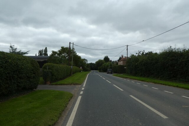
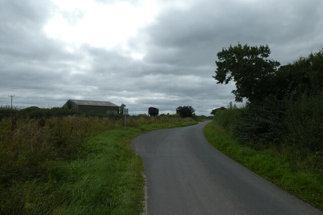
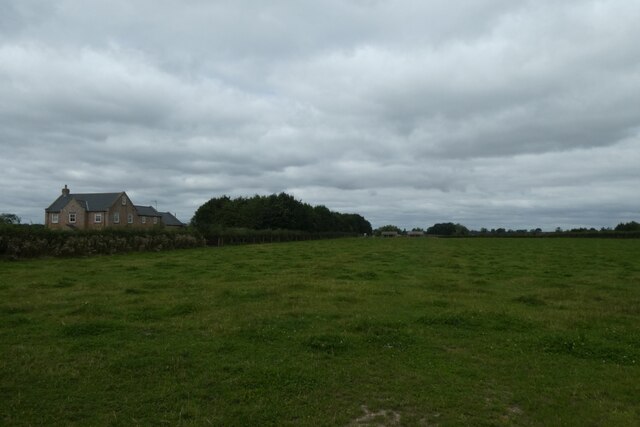
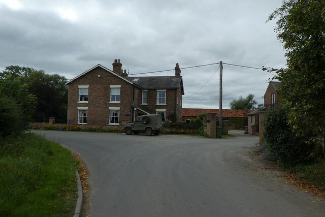
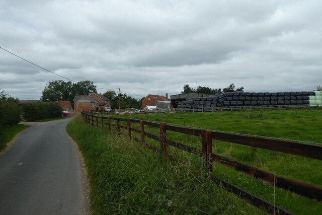
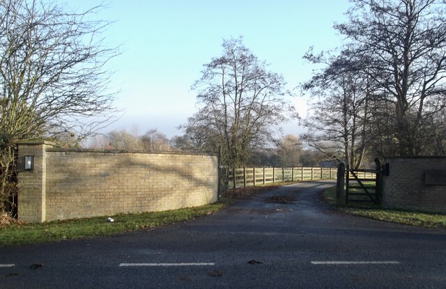
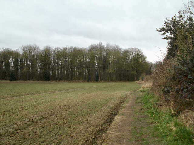
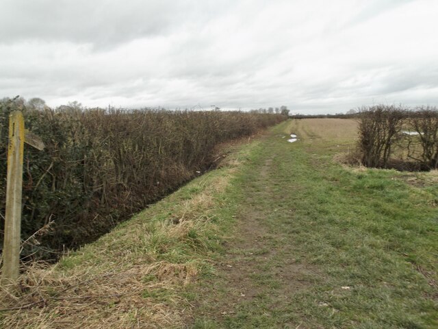
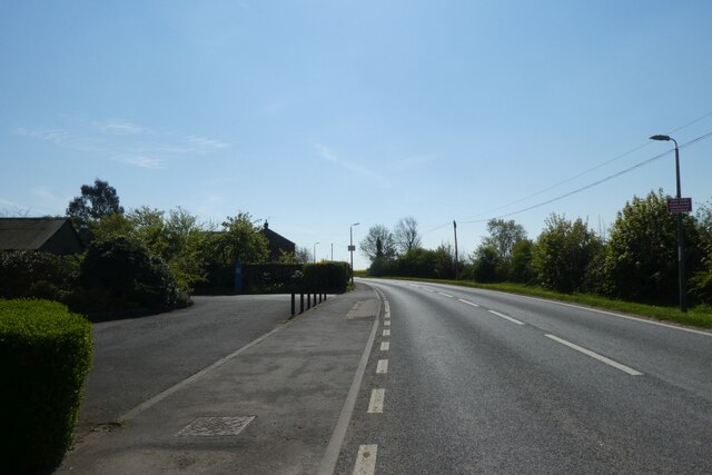
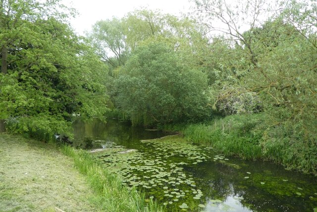
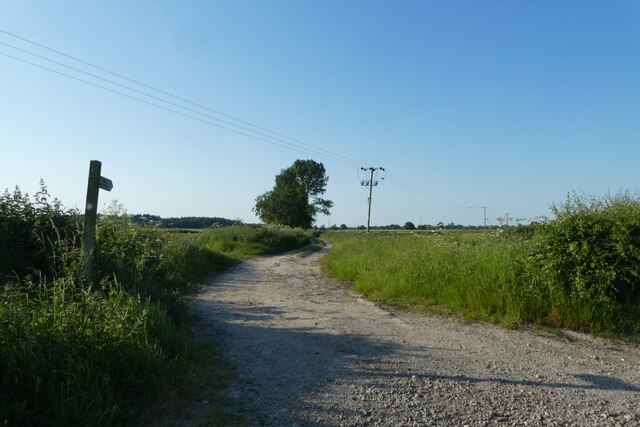
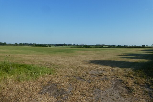
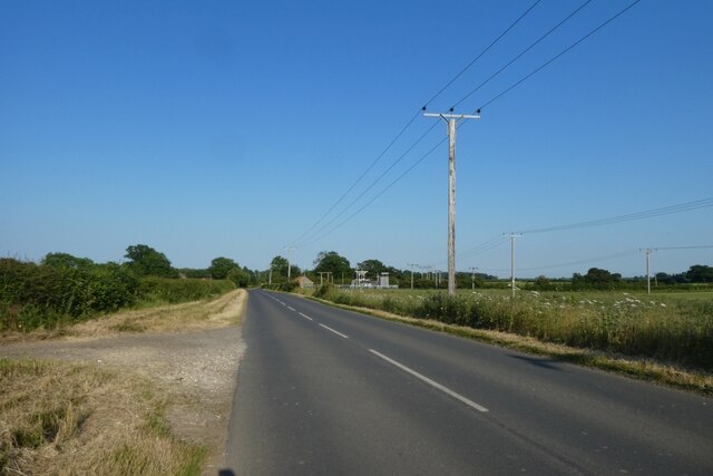
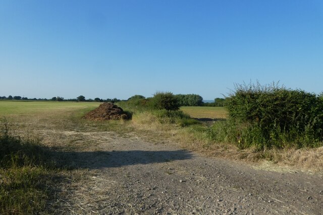
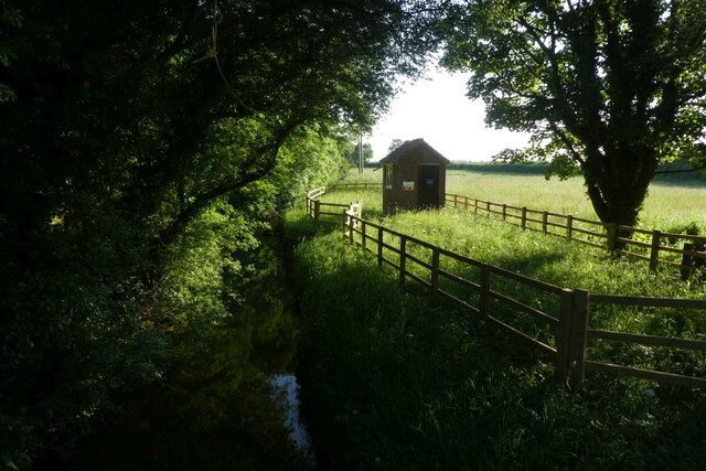
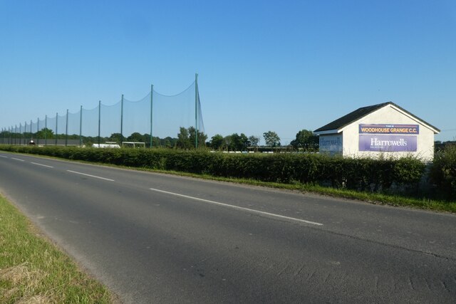
Scotland Hill Images
Images are sourced within 2km of 53.903343/-0.9033916 or Grid Reference SE7245. Thanks to Geograph Open Source API. All images are credited.


Scotland Hill is located at Grid Ref: SE7245 (Lat: 53.903343, Lng: -0.9033916)
Division: East Riding
Unitary Authority: East Riding of Yorkshire
Police Authority: Humberside
What 3 Words
///nuptials.balconies.switched. Near Sutton upon Derwent, East Yorkshire
Nearby Locations
Related Wikis


Related Videos

RETURN TO PARADISE (LAKESIDE LODGES!)
See our first visit to Paradise... https://youtu.be/s7P4AzwAthE A surprise birthday treat takes us back to our favourite fishing haunt, ...

Paradise Lakeside Lodges York
With my daughter Kirsty's wedding cancelled due to lock down restrictions, we did the next best thing and grabbed a last minute ...

PARADISE LAKESIDE LODGES | GRUDGE MATCH!
SIBLING RIVALRY |ROBERT AND SUE'S JOURNEYS AND JOURNALS Our annual friendly brother's competition at our usual ...
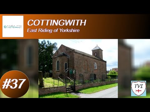
COTTINGWITH: East Riding of Yorkshire Parish #37 of 172
For a small village this has a lot of history, some of which is very ancient and you can't even see traces of. The parish council's ...
Nearby Amenities
Located within 500m of 53.903343,-0.9033916Have you been to Scotland Hill?
Leave your review of Scotland Hill below (or comments, questions and feedback).