Broom Hill
Hill, Mountain in Yorkshire Ryedale
England
Broom Hill

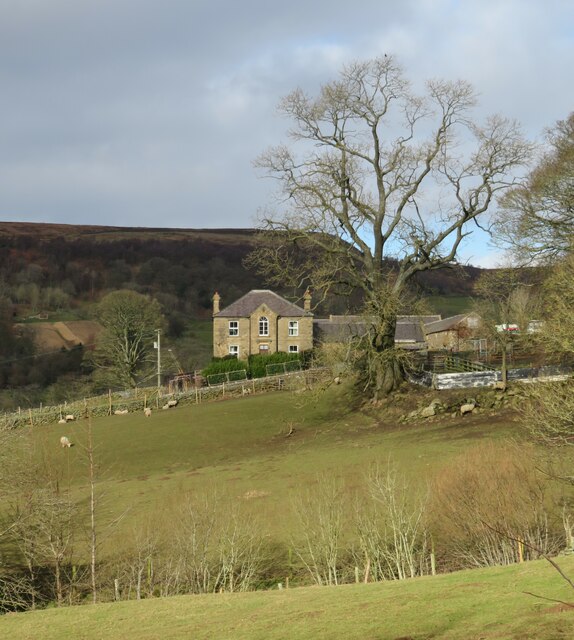
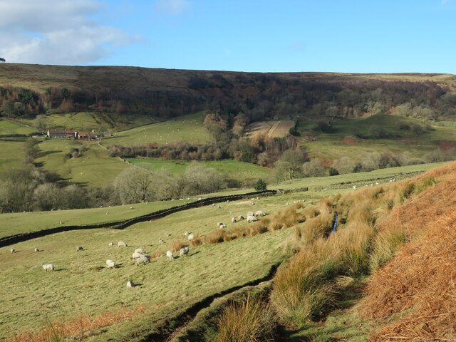
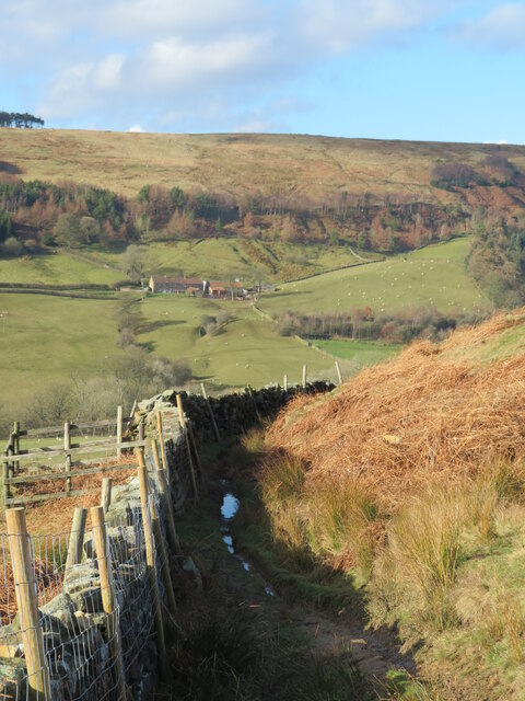
Broom Hill is a prominent hill located in Yorkshire, England. It is situated in the northern part of the county, near the town of Huddersfield. Rising to an elevation of approximately 330 meters (1,083 feet), Broom Hill offers stunning panoramic views of the surrounding countryside.
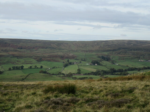
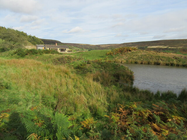
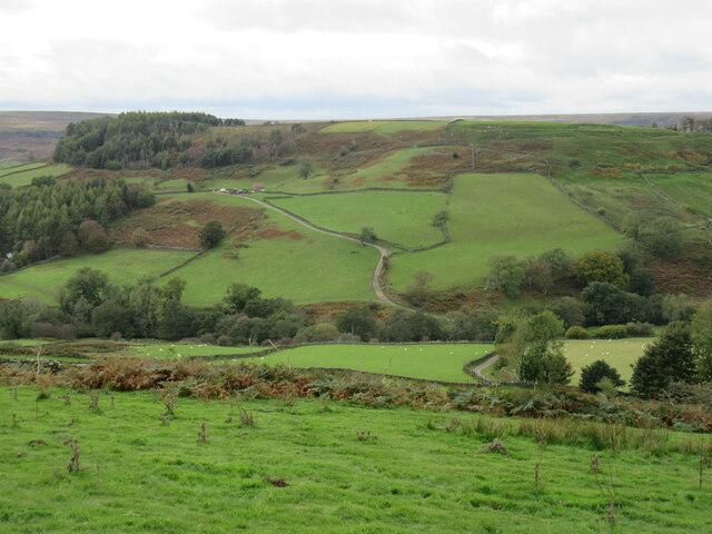
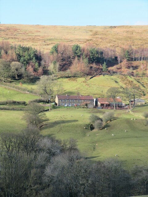
Covered in lush greenery, the hill is characterized by its gentle slopes and rolling terrain. It forms part of the Pennine range, a series of hills and mountains that traverse northern England. Broom Hill is primarily composed of sandstone, which gives it a distinct reddish-brown color.
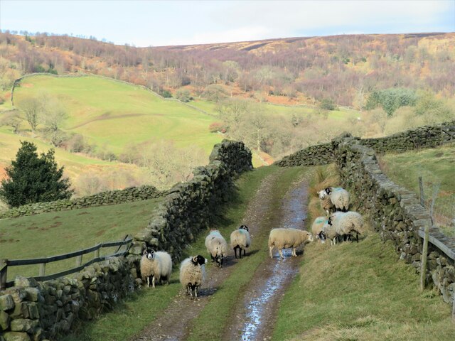
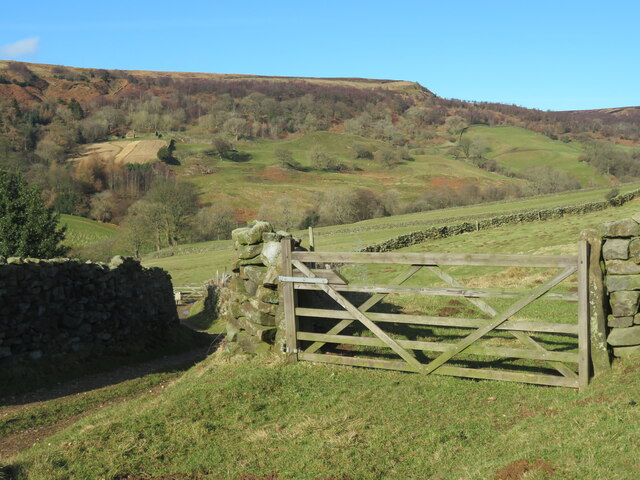
The hill is a popular destination for outdoor enthusiasts, hikers, and nature lovers alike. It boasts several walking trails that cater to various fitness levels, making it accessible to people of all ages. Visitors can explore the hill's diverse flora and fauna, including heather, bilberries, and a variety of bird species.
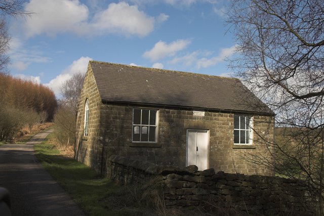
Broom Hill has a rich historical significance, dating back to ancient times. Archaeological excavations have uncovered evidence of human settlements in the area, including Bronze Age burial mounds and Roman remains. These findings provide valuable insights into the region's past and contribute to its cultural heritage.
In addition to its natural and historical attractions, Broom Hill also offers recreational amenities such as picnic areas and viewpoints. It serves as a tranquil retreat for locals and tourists seeking a peaceful escape from the hustle and bustle of everyday life.
Overall, Broom Hill is a captivating destination that combines natural beauty, historical intrigue, and recreational opportunities, making it a must-visit location in Yorkshire.
If you have any feedback on the listing, please let us know in the comments section below.
Broom Hill Images
Images are sourced within 2km of 54.37894/-0.89161798 or Grid Reference SE7298. Thanks to Geograph Open Source API. All images are credited.

![Bridge over Northdale Beck The bridge is at a junction of paths with a bridleway [number 25.130/50] crossing the beck.](https://s0.geograph.org.uk/geophotos/07/09/19/7091972_03dfa987.jpg)

Broom Hill is located at Grid Ref: SE7298 (Lat: 54.37894, Lng: -0.89161798)
Division: North Riding
Administrative County: North Yorkshire
District: Ryedale
Police Authority: North Yorkshire
What 3 Words
///shade.photo.slowness. Near Danby, North Yorkshire
Nearby Locations
Related Wikis

Rosedale Priory
Rosedale Priory was a priory in Rosedale Abbey, North Yorkshire, England that was founded c. 1150–1199. By the time the priory was suppressed in 1535,...

Rosedale, North Yorkshire
Rosedale is a valley located almost in the centre of the North York Moors national park in North Yorkshire, England. The nearest town is Kirkbymoorside...

Rosedale Abbey
Rosedale Abbey is a village in the Ryedale district of North Yorkshire, England. It is approximately 8 miles (13 km) north-west of Pickering, 8 miles south...

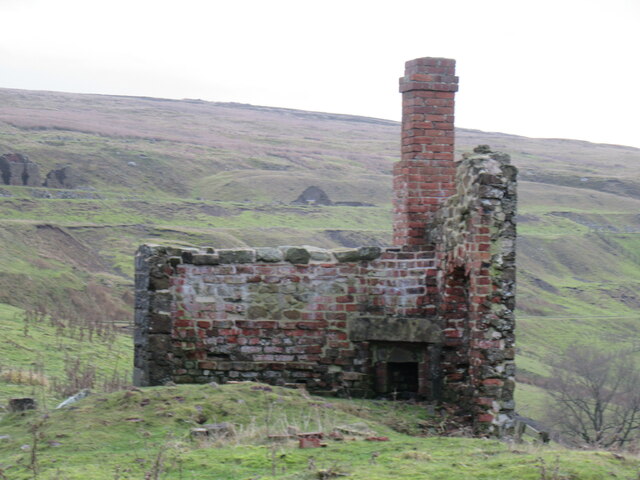
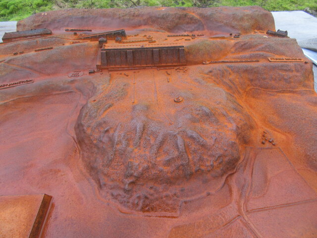
Ironstone mining in Rosedale
The Ironstone mining in Rosedale, was a major mining concern, in Rosedale, North Yorkshire, England. It flourished in the 19th century and ceased in the...

Rosedale Chimney Bank
Rosedale Chimney Bank or just Chimney Bank is a hill pass that carries a minor road between Rosedale Abbey and Hutton-le-Hole in the Ryedale district of...
Hartoft
Hartoft is a hamlet in the Ryedale district of North Yorkshire, England. It is situated approximately 7 miles (11 km) north-northwest from Pickering. The...

Lion Inn
The Lion Inn is a public house at Blakey Ridge, near Kirkbymoorside, in North Yorkshire, England. The building was completed between 1553 and 1558 (dates...

Blue Man-i'-th'-Moss
Blue Man-i'-th'-Moss is a standing stone in the North York Moors in northern England. It lies on Wheeldale Moor on the route of the Lyke Wake Walk.It is...
Nearby Amenities
Located within 500m of 54.37894,-0.89161798Have you been to Broom Hill?
Leave your review of Broom Hill below (or comments, questions and feedback).